Uganda: Fertile Land of Lakes and Rainforests
— East Africa — 12 min read
19 August - 1 September 2012
After my long break in Kenya, I was back on the road. sanDRina was fully rebuilt and we were on our way to complete the overland journey to India. From Nairobi, I headed west into Uganda, a fertile land filled with lakes, rainforests and friendly people. I crossed at a small border at the foothills of Mt Elgon and then made my way to the western part of the country and enjoyed some time at an orphanage that was run by a CouchSurfing pastor. From there, I headed south through Queen Elizabeth National Park and discovered a major problem with the bike, which took a few days to fix. Once that was sorted, I continued south through Bwindi Impenetrable Forest and Lake Bunyoni before crossing into Rwanda.
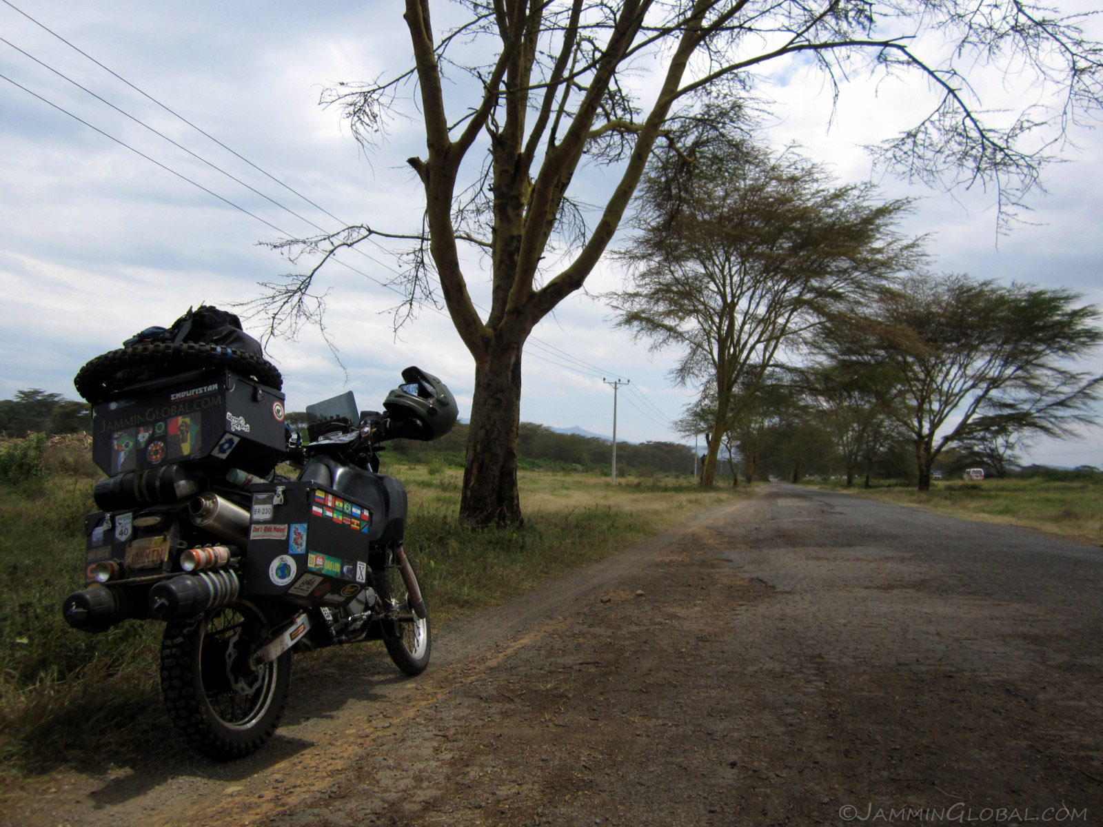
Back on the road, just past Naivasha, heading to Eldoret where I camped at Naiberi River Camp.
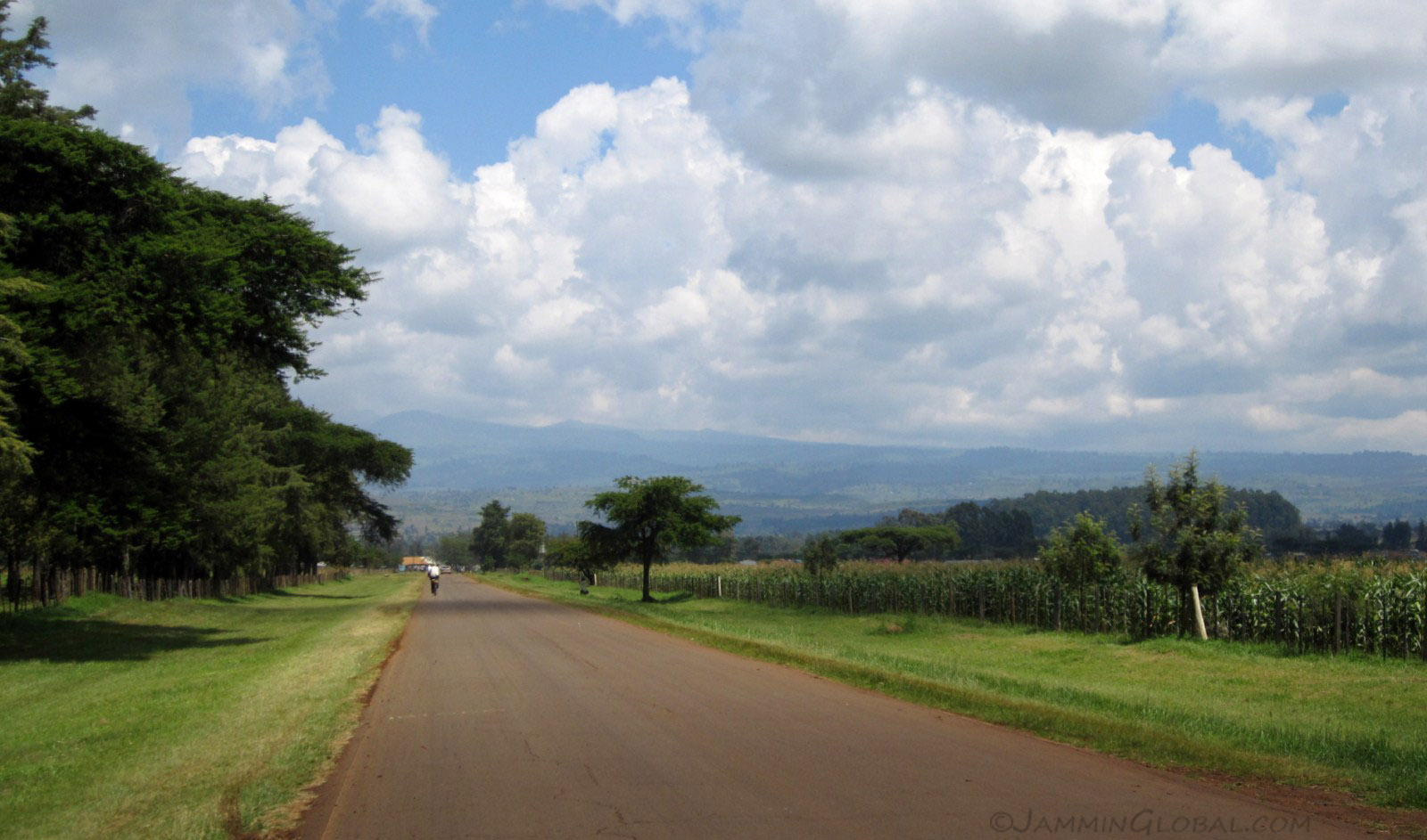
The sloping terrain in the distance is the broad flanks of Mt Elgon, a massive extinct shield volcano that straddles the border. It has a diameter of 80 kms (50 mi) and thus can't be seen in its entirety from the ground. The Maasai call it "Ol Doinyo Ilgoon" meaning 'breast mountain.'
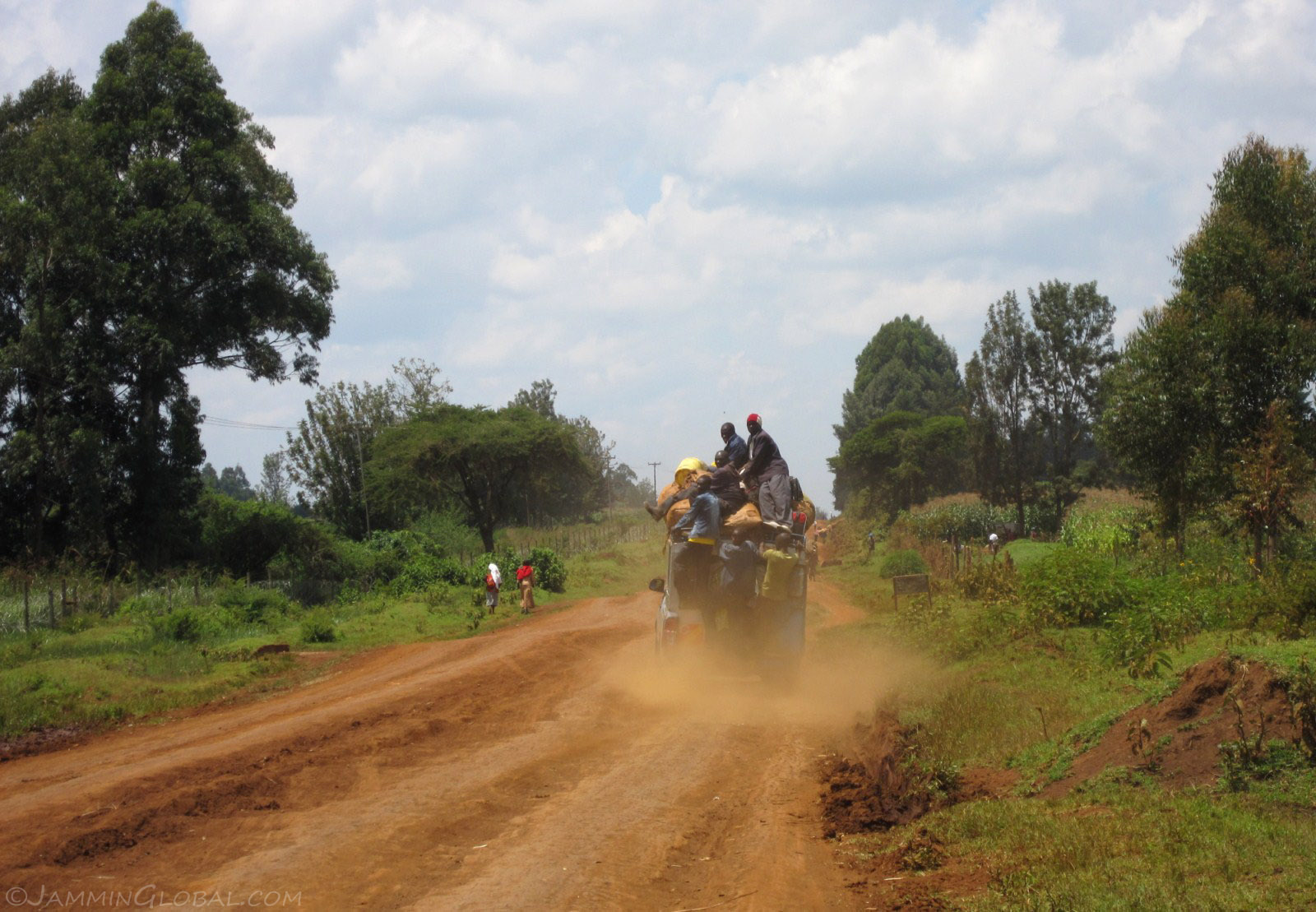
The tarmac ended and the maram (mud road) started. Bush transport taking as many people as can hang on. The surface on the Kenyan side was really rough. It was like corrugations but they were uneven and very sharp, making for a jarring ride.
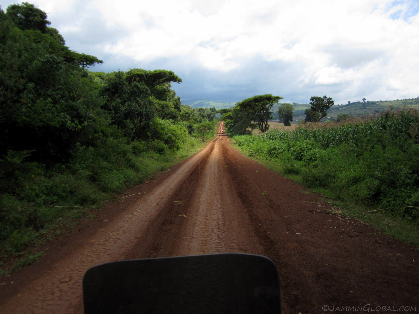
In places, the road smoothened out and became my favorite terrain, hard-packed mud, in the dry.
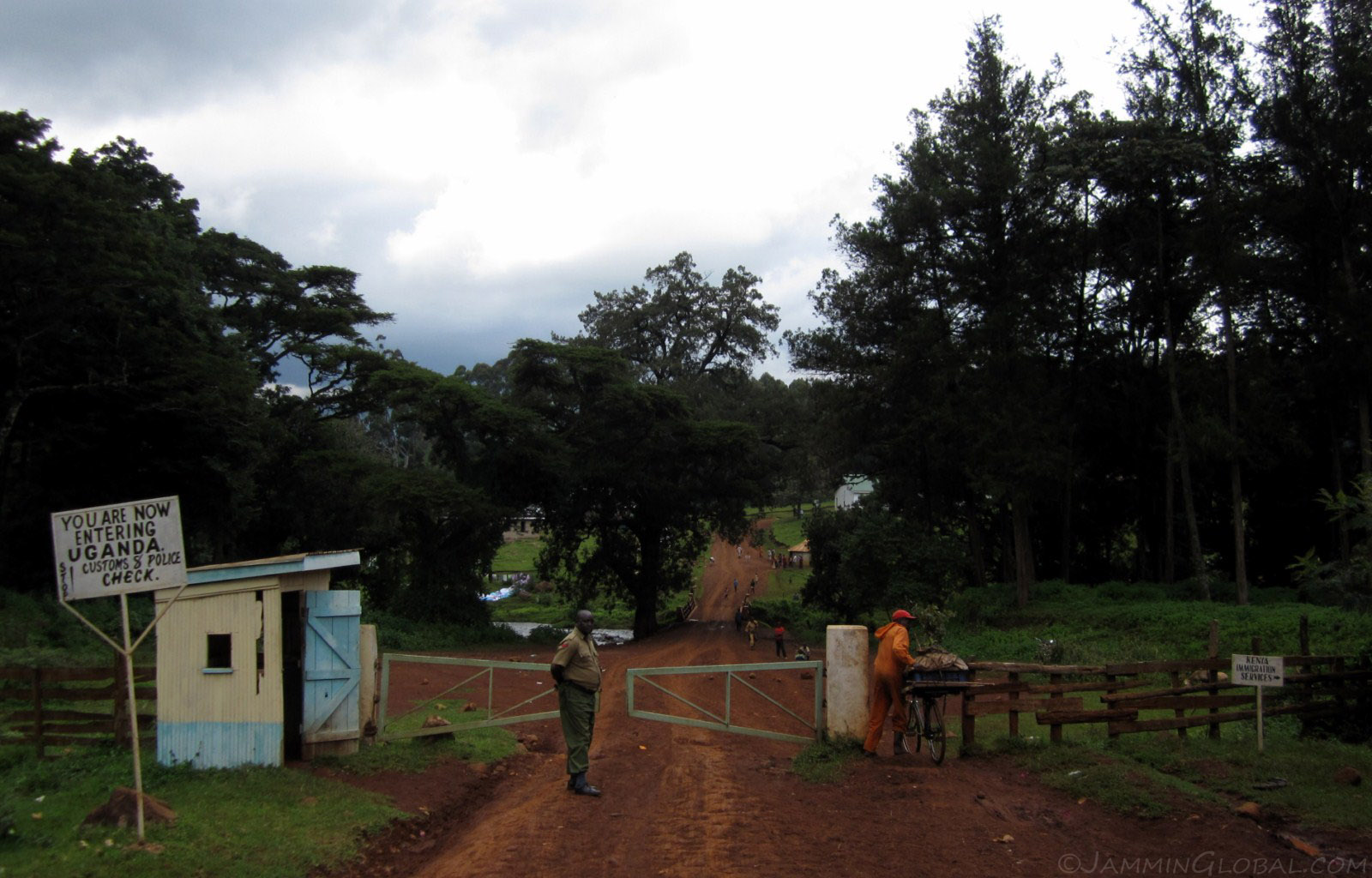
Crossing into Uganda at Suam River, flowing down from the peaks of Mt. Elgon and draining into Lake Turkana. I love some small and remote border crossings. There's much less hassle and the officers in charge are delighted to meet travelers. The immigration officer on the Kenyan side had traveled extensively in India and that too, all over the south, naming small towns from my state. The officers on the Ugandan side helped me exchange my remaining Kenyan Shillings for Ugandan Shillings.
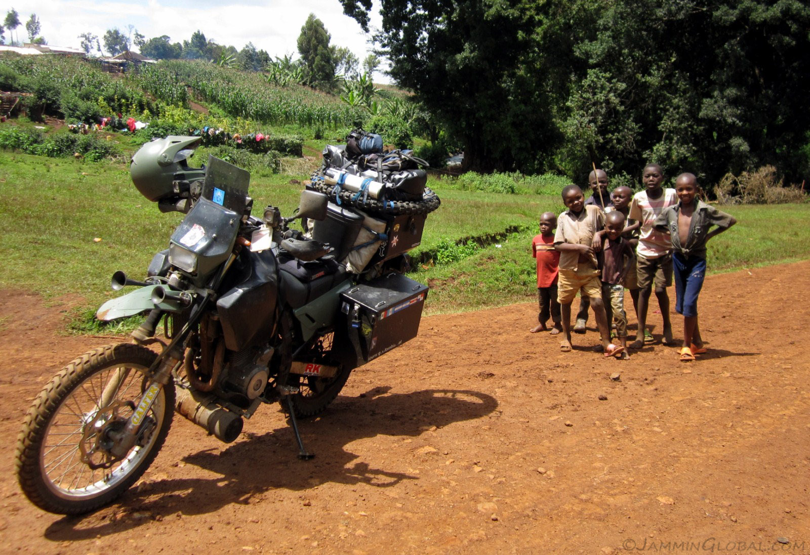
Just across into Uganda and curious kids posing for a photo.
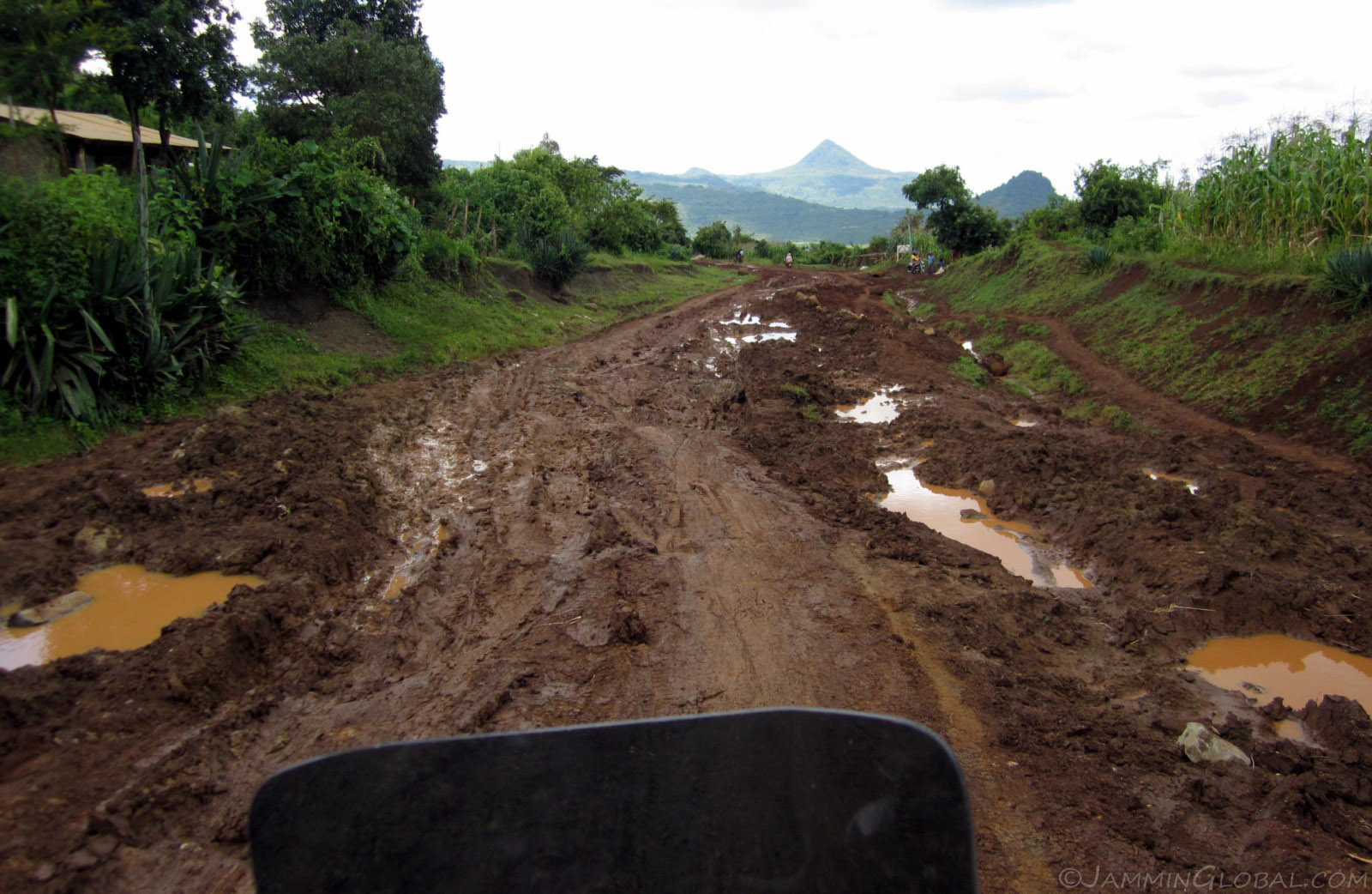
It had been raining and hard-packed mud became soupy, slippery mud and a challenge with a heavy bike.
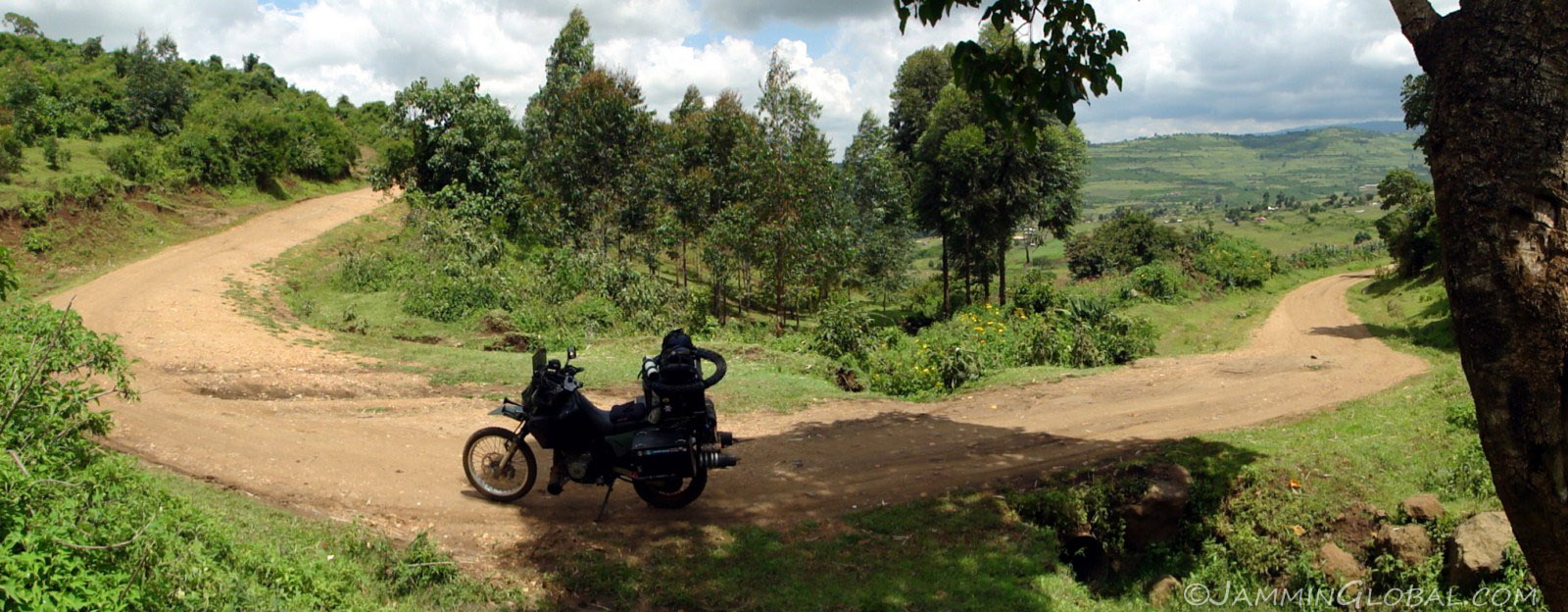
Taking a break in a hairpin bend, under some shade and capturing this wide angle shot with a Sony camera that stitches panoramas with just a sweep.
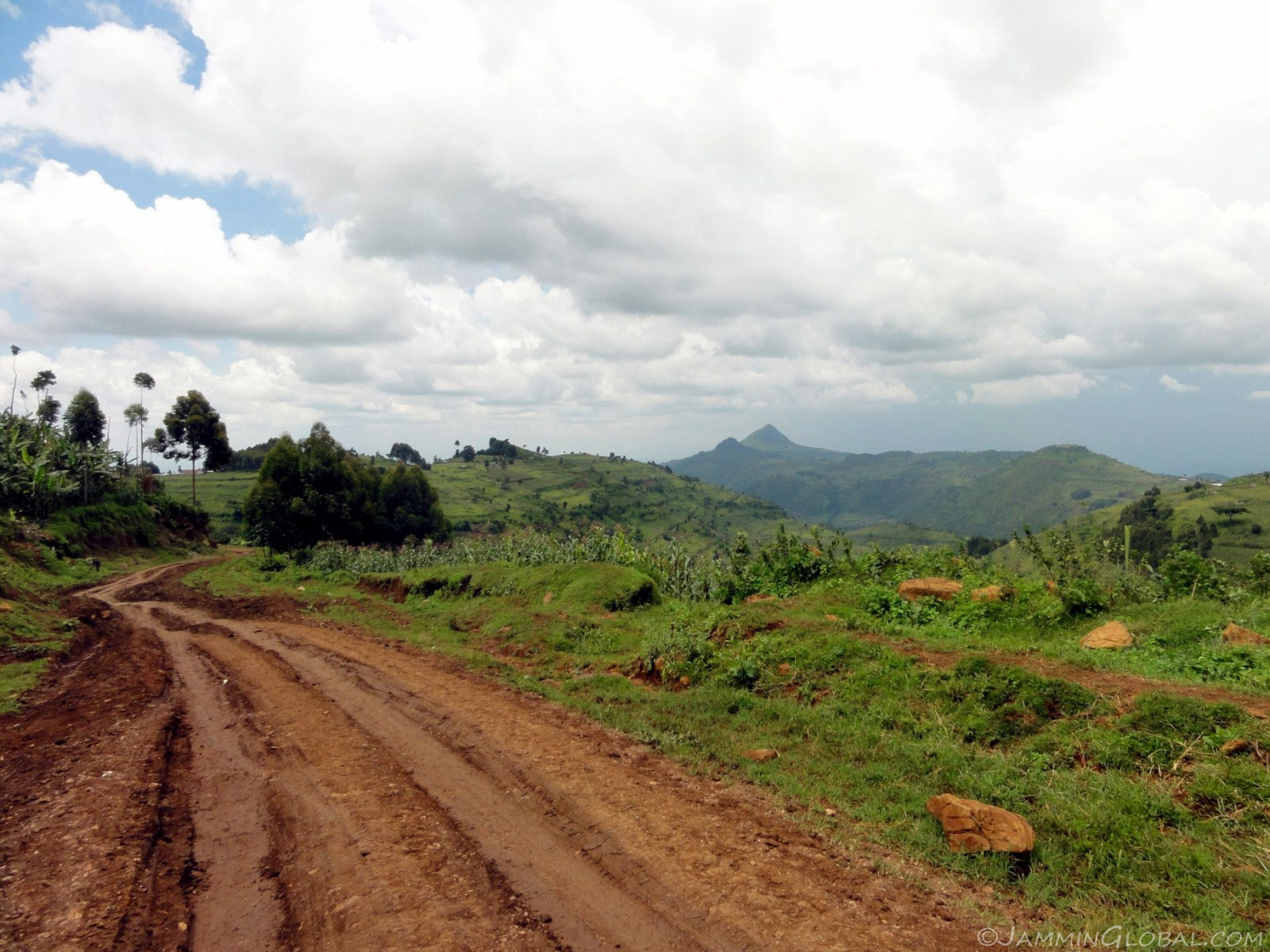
The riding was real tough at times with slippery steeps but the scenery was just fantastic with peaks in the distance.
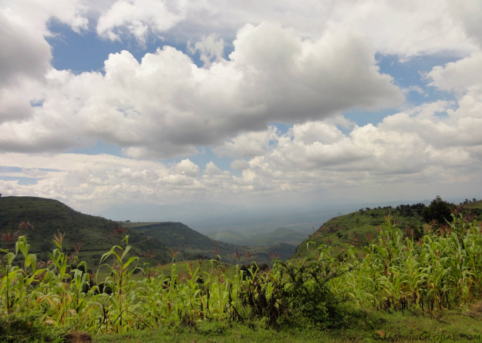
Mt Elgon is the only piece of relief in this otherwise flat terrain and as the route circumnavigated around the volcano, grand views of the flat plains to the north would come into view.
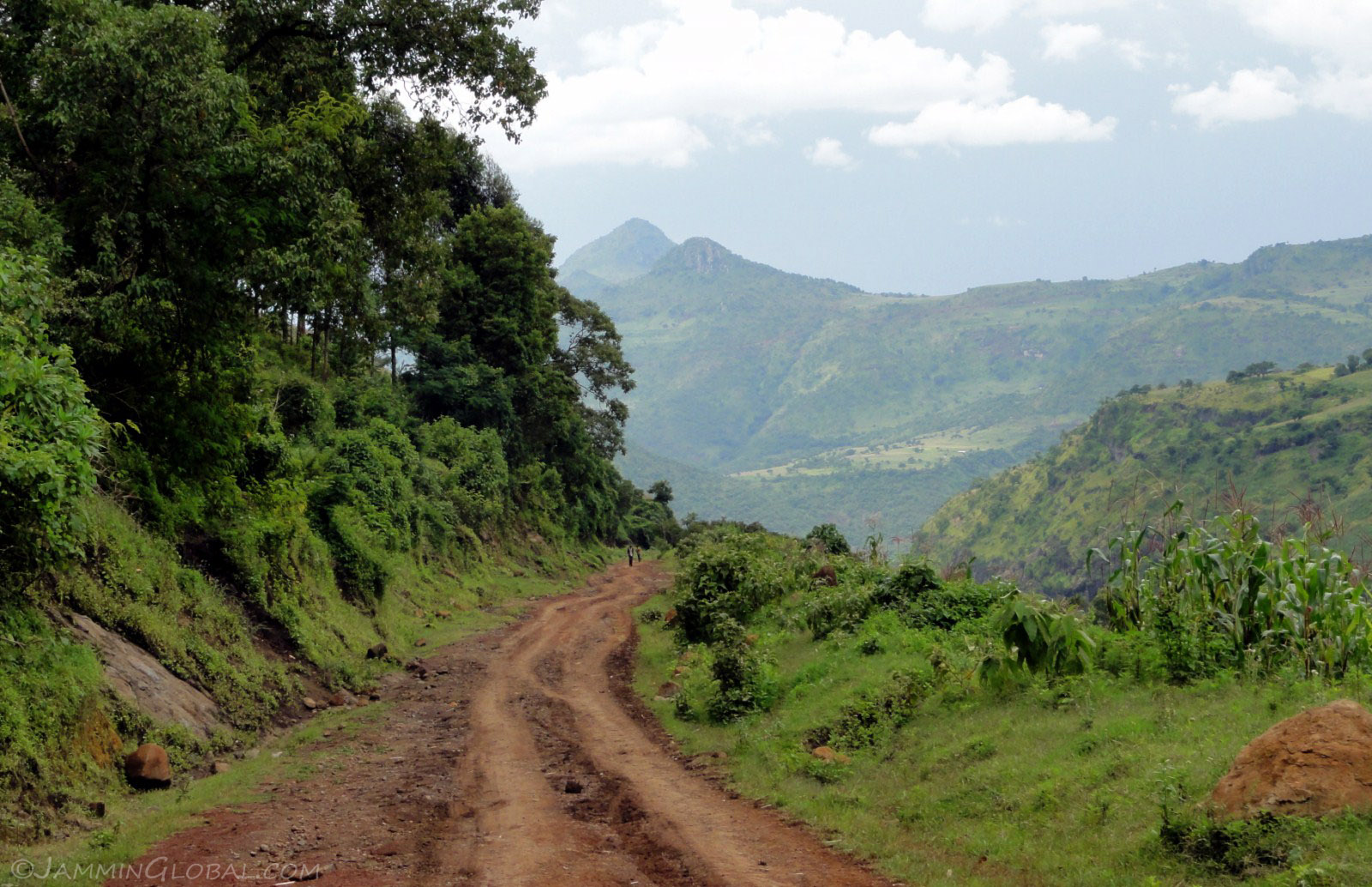
All the slogging through mud and balancing sanDRina on steep ruts was worth the views and the feeling of riding Epic Africa.
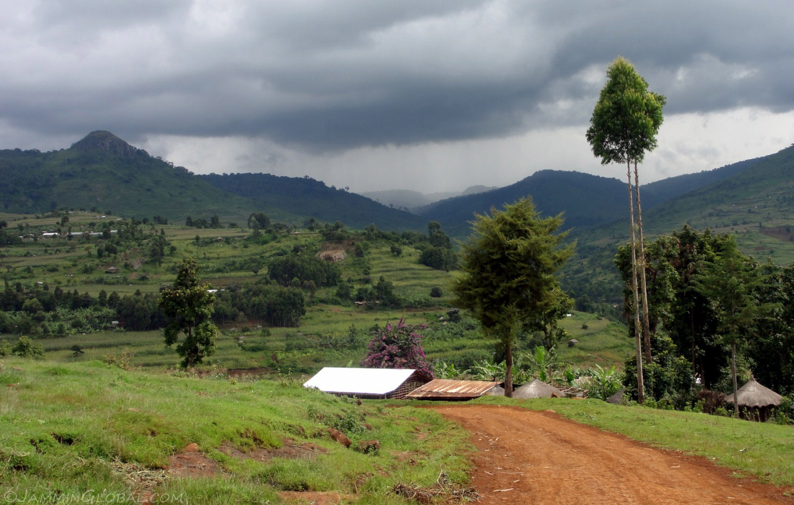
Storm clouds brewing in the distance. I hoped the rain would hold until I hit tarmac on the other side. The route around Mt Elgon goes through rural areas but certainly not remote areas. There were villages around every bend and most of the terrain was terraced for maize and banana planting. As soon as I stopped, it was only a matter of seconds before a crowd gathered around to greet this mzungu (foreigner in Swahili).
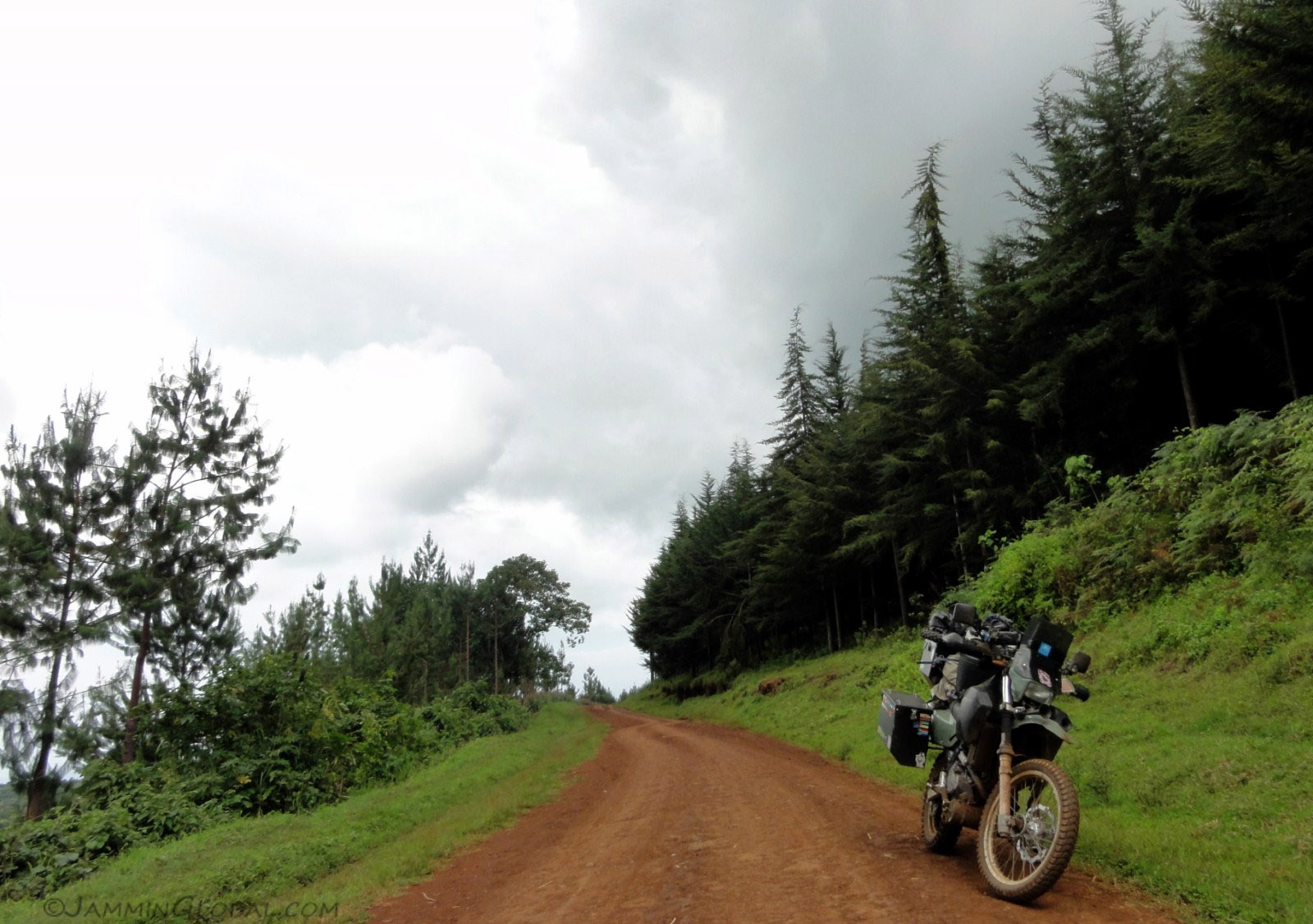
Stopping for a break on a quiet piece of downhill with pine forests all around.
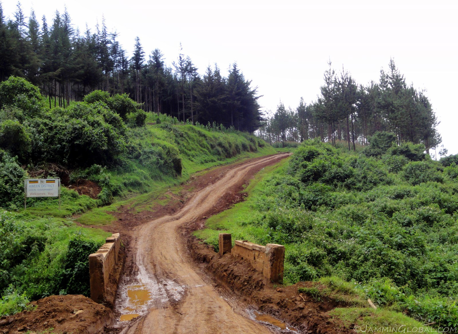
As the route wound its way around the volcano, it went up and down through every crease and ridge with usually rivers in the creases and villages on the ridges.
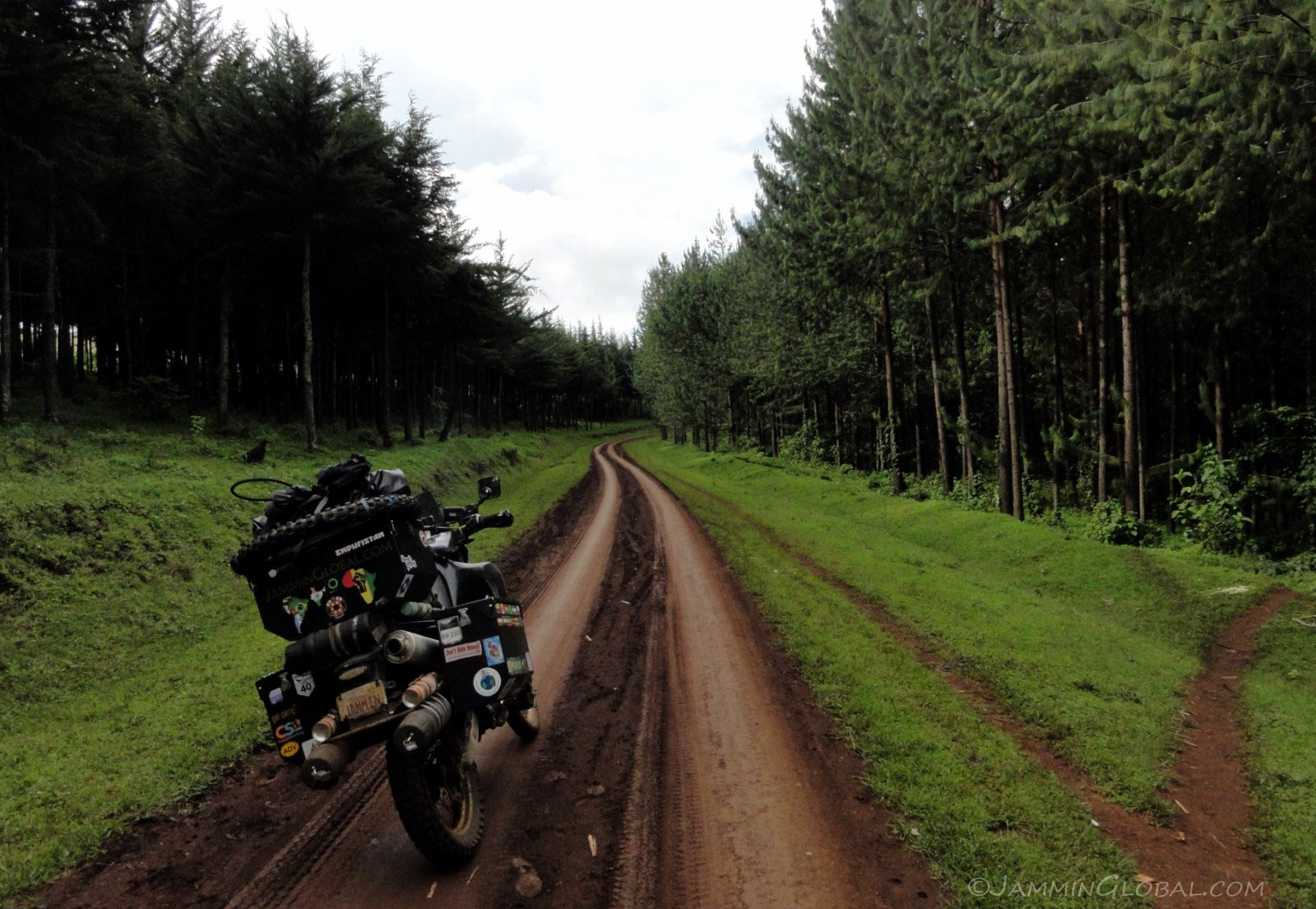
Riding through dense pine forests on the slopes of Mt Elgon. The rain held off for most of the route but it started raining with just 5 kms (3 mi) to go, making for a tough end to a beautiful day's ride.
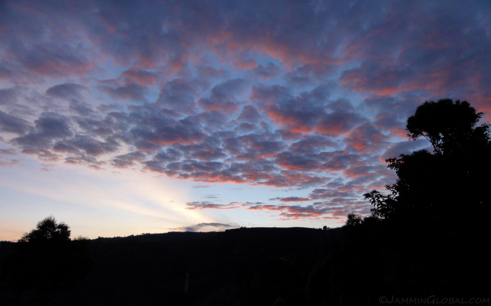
I stayed at the Crowsnest Lodge at Sipi Falls and got up in the morning for a beautiful sunrise over the falls (small white line, bottom left).
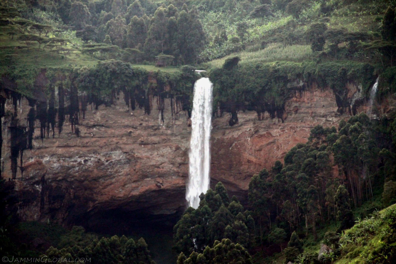
With the sun fully up, Sipi Falls could be captured in all its glory. It's a 100 m (328 ft) drop and it's possible to abseil down the falls.
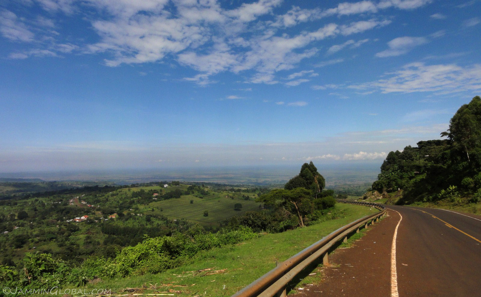
Heading down from Mt Elgon with a view towards the flat plains ahead.
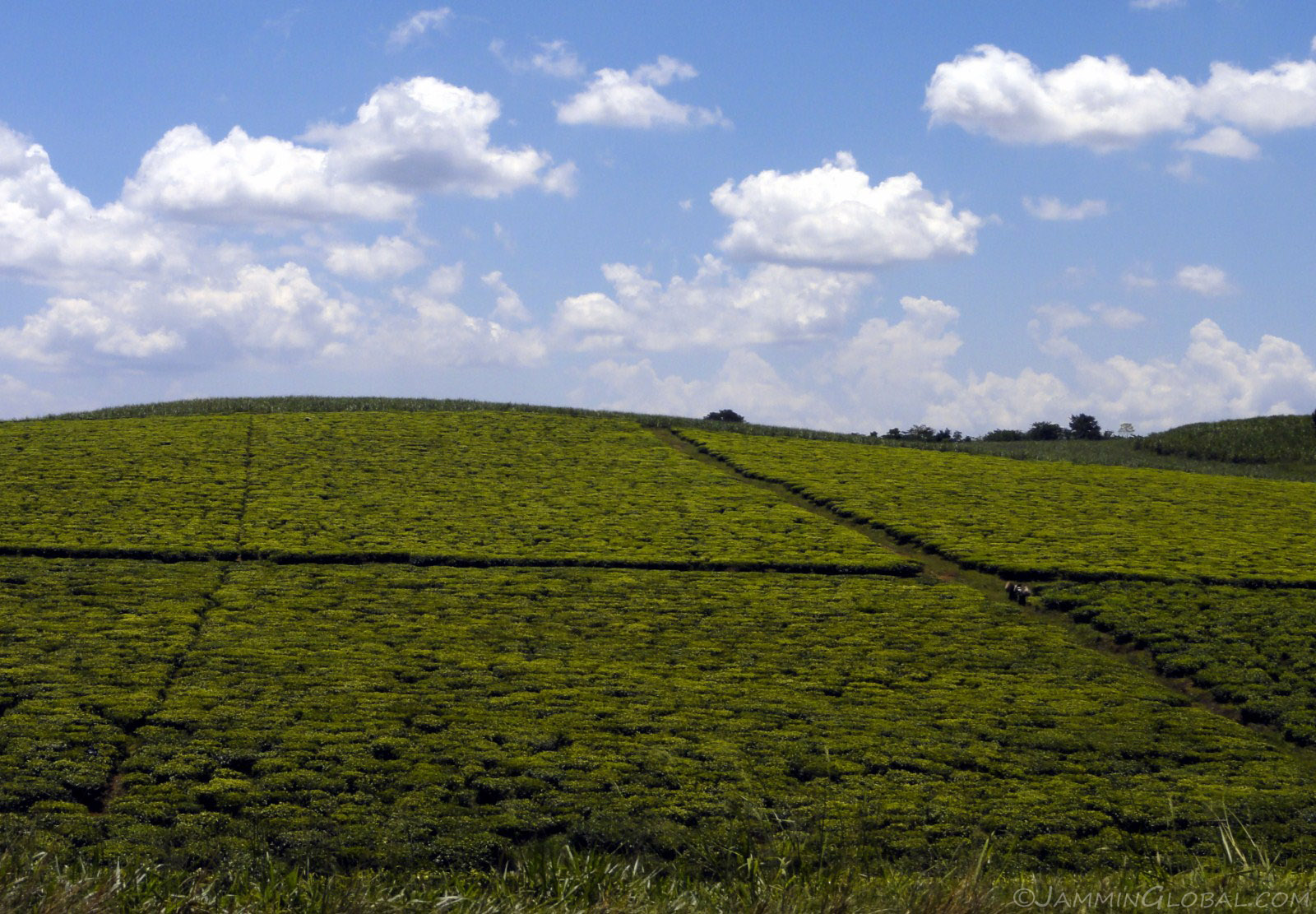
A tea estate on the sides of the main highway into Kampala, the capital city.
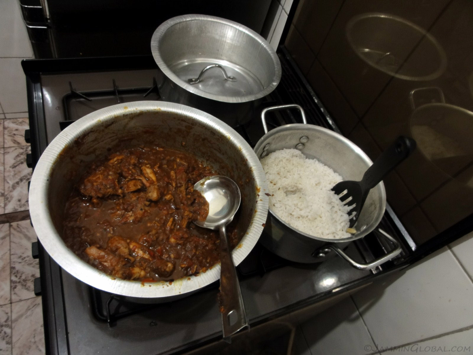
I stayed at Ali's house in Kampala, whom I had met in Nairobi and also met up with fellow bike travelers, Mike and Danielle. I invited them over for a chicken curry dinner.
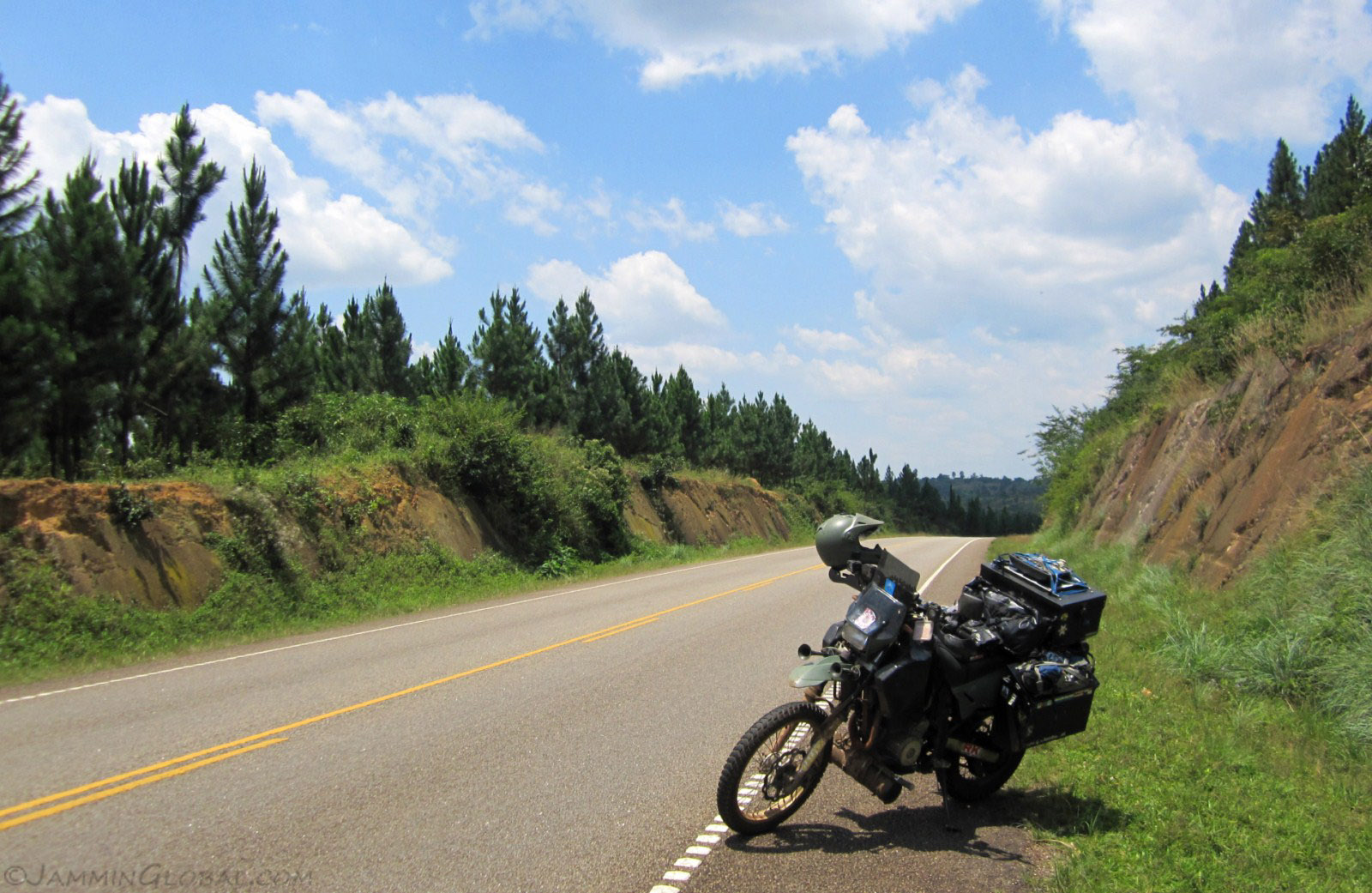
After two days of rest and adjusting my gear a bit, and giving my front tire to Mike, I headed west across the smooth highway towards the Rwenzori Mountains.
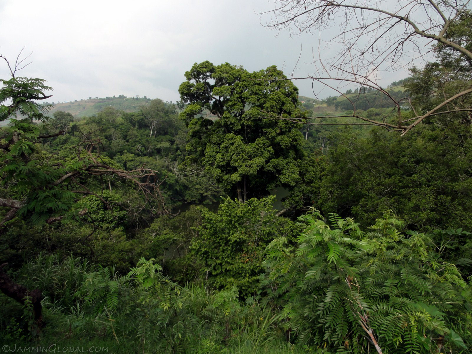
I contacted Pastor Basco through CouchSurfing and he told me to come over to his community campsite next to Lake Nkuruba, hidden by the dense foliage, near Fort Portal.
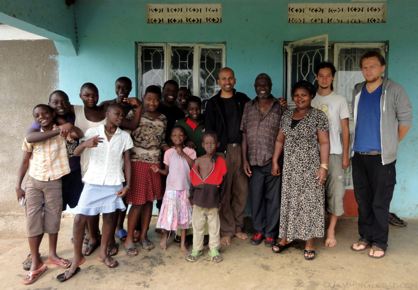
Pastor Bosco and his wife are running an orphanage for kids who've lost parents mainly to AIDS. He runs a sponsorship program for the kids and joined CouchSurfing with the hopes of bringing travelers to his community and seeing if they would be willing to sponsor a child. I told him I was already sponsoring a child through Children International in Zambia, but I would gladly spread the word about his project. He regularly gets volunteers who help run the campsite and interact with the kids. To the right are Joshua and Lukas, both from Germany, and they showed me around.
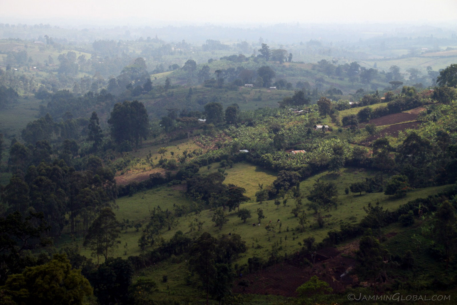
We went on a hike and enjoyed this view across the cultivated hills.

From the top of the tallest peak in the area, we got a view of the chain of carter lakes. Lake Nkuruba, where the campsite is, to the left, is the deepest at 600 m (1968 ft). Its name means 'old' in the local language, a sign to it being the first of the crater lakes that was created by this hotspot volcano as the Earth's crust moved above it. Next up was Lake Nyamirima, on the left at 200 m (656 ft) and its name means 'darkness.' Then, behind the lodges on the right is Lake Nyinabulitwa at around 100 m (328 ft) depth and its name translates to 'mother of bulitwa.' The last lake in the distance is Lake Nyabikere at only 45 m (148 ft) depth and its name means 'frogs.' It was very cool to see all the lakes in a row.
Click here to see the high resolution version.
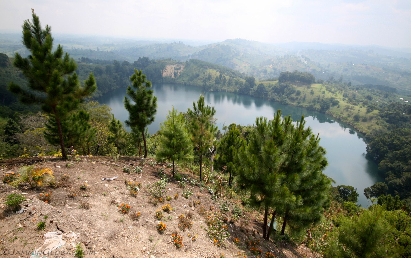
The crater lake of Nyamirima at a depth of 200 m (656 ft).
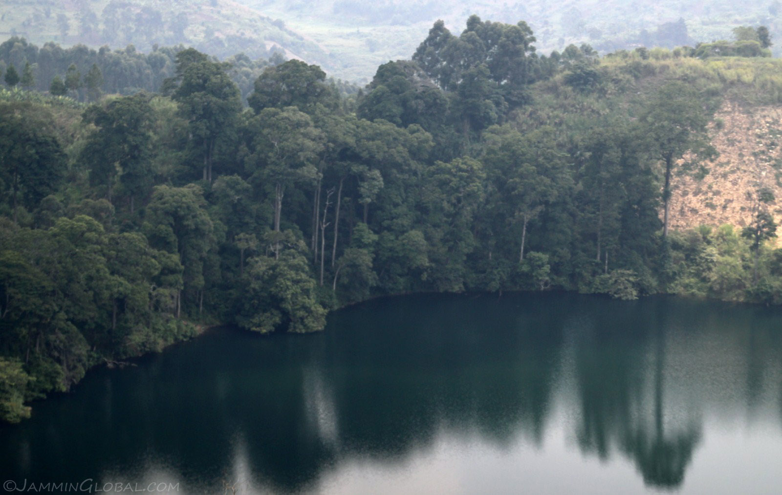
The steep shoreline indicates how deep the lake is and with each successive lake, the edge gets less steep.
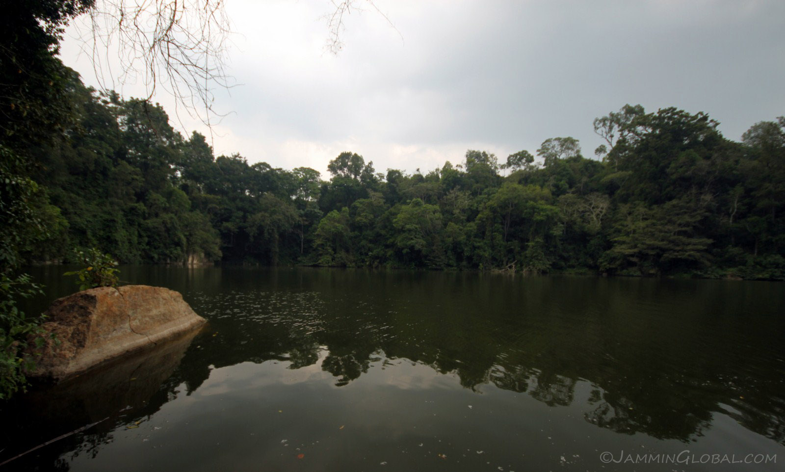
Lake Nkuruba, the deepest and oldest of the crater lakes at 600 m (1968 ft). Wow, I just couldn't imagine what was going on under the water hundreds of meters deep.
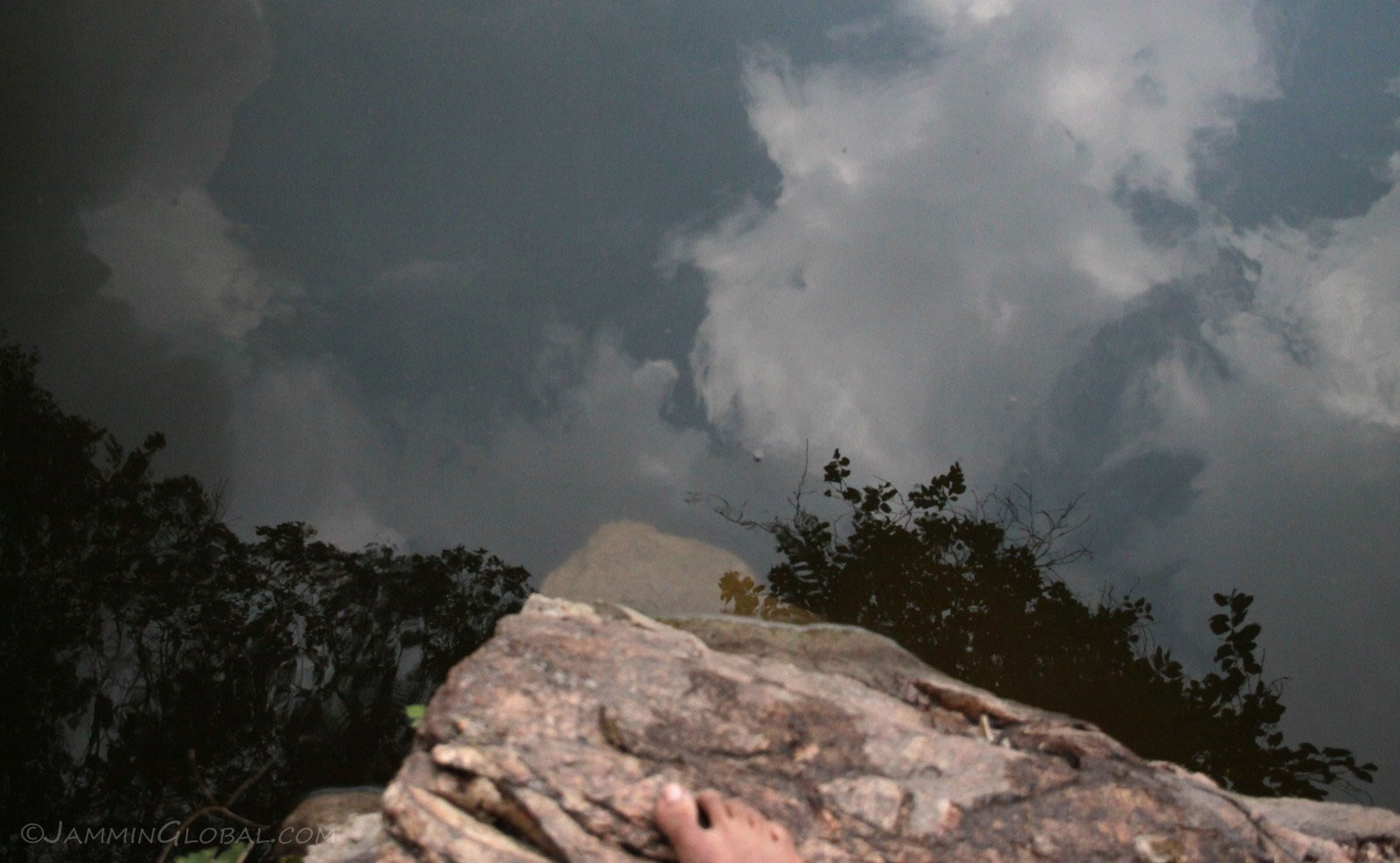
Looking down into the depths of Nkuruba before I jumped in and swam across. I only recently got over my fears of deep waters and here I was testing myself to jump in to a lake with basically no bottom. Mommy! I swam the 100 m (328 ft) to the other side using my signature half-back stroke and was thinking back to all the early morning laps I did in Nairobi.
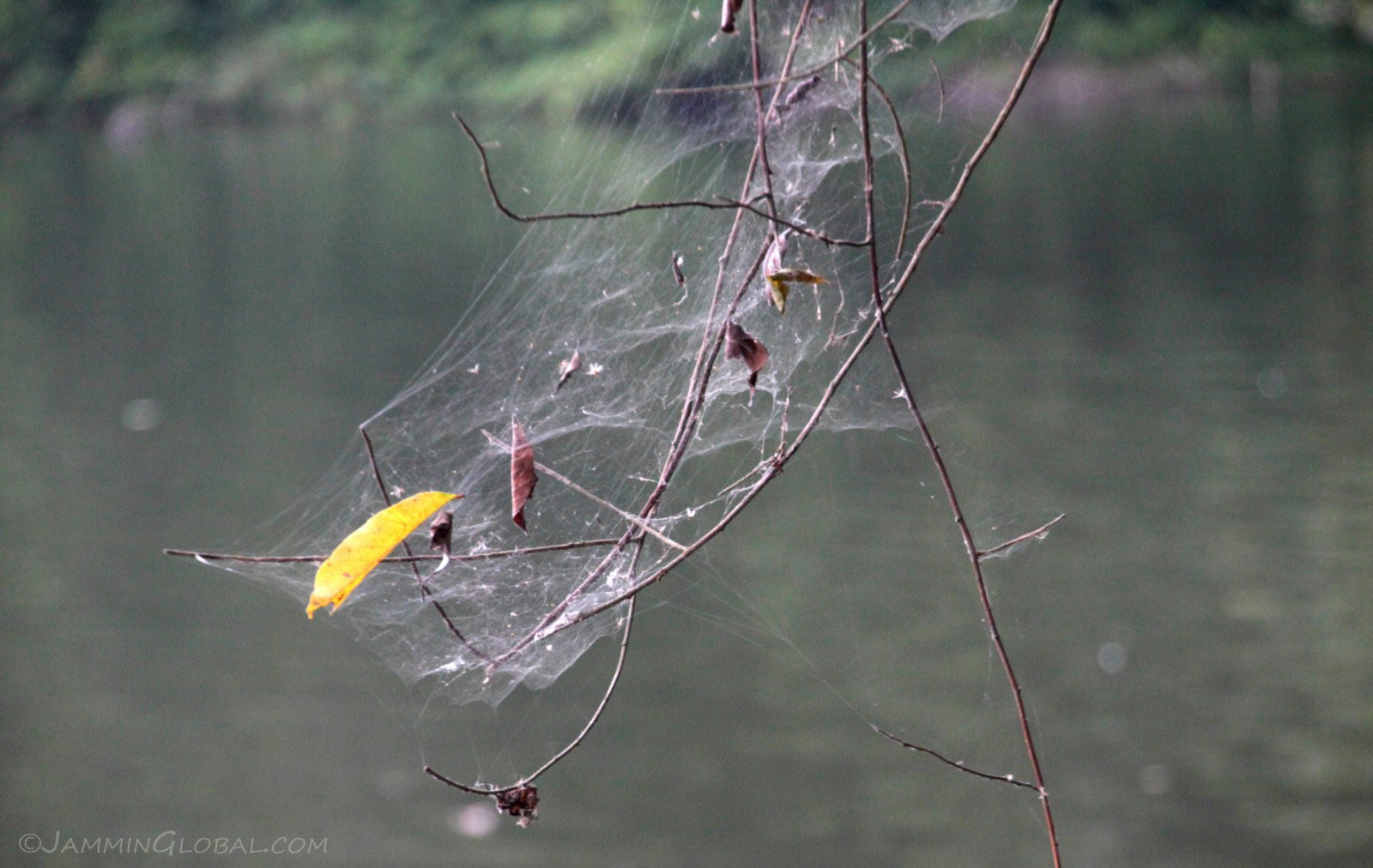
A spider's nest in the dense foliage around the lake. Too bad for the spider that its web was only catching leaves.
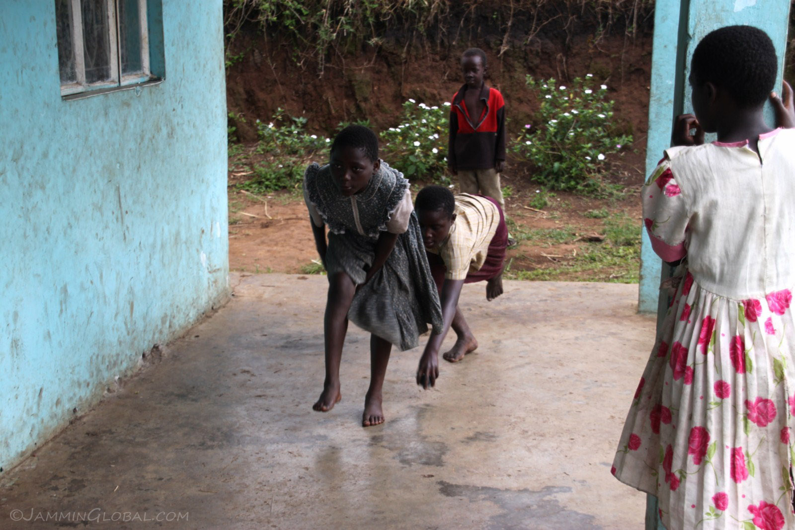
Some of the kids playing a game on Pastor's porch. The aim was to pass a stick under alternating legs as the kids on the end tried to hit you with the ball.
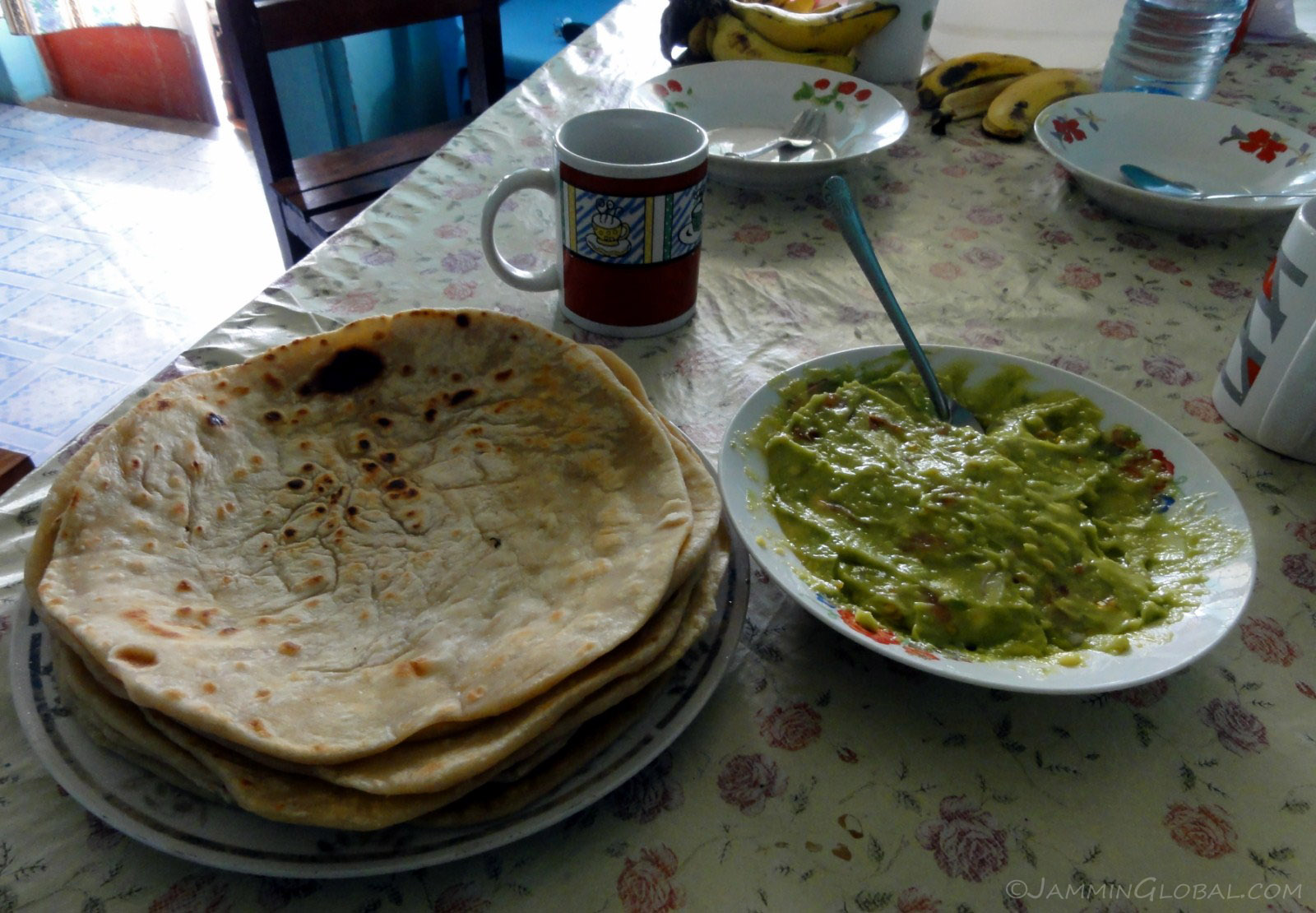
Breakfast with Pastor Bosco of chapatis and guacamole. Oh yes. Avacados are plentiful here and Pastor discovered how to make guac from some previous travelers.
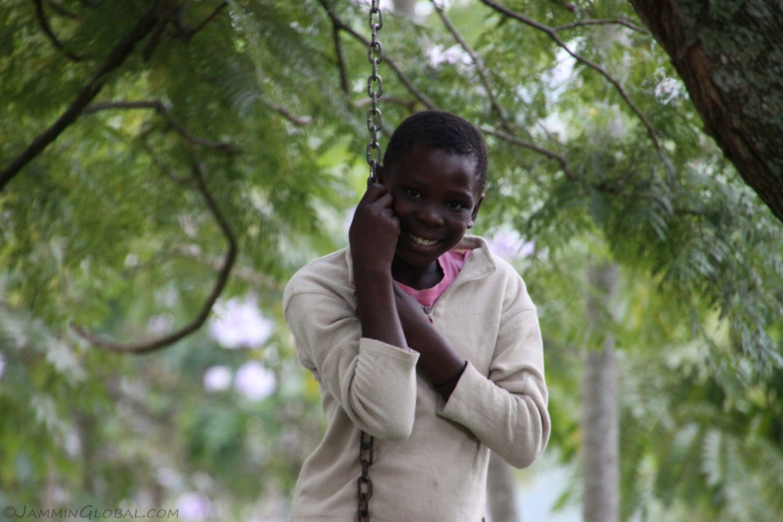
A pretty girl on a swing at the campsite. I pointed to my camera to ask if it was okay to take her picture and she just smiled.
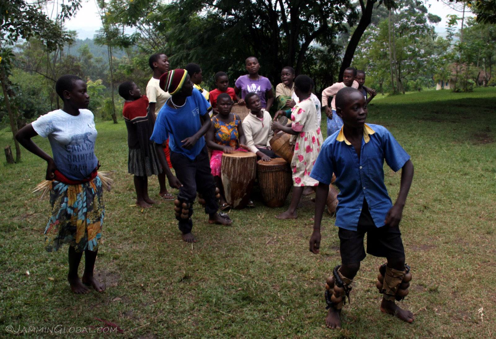
The kids had gathered for their weekly Dance and Drum Club and as the girls tapped and thumped out a rhythmic beat, a set of boys and girls performed a traditional dance.
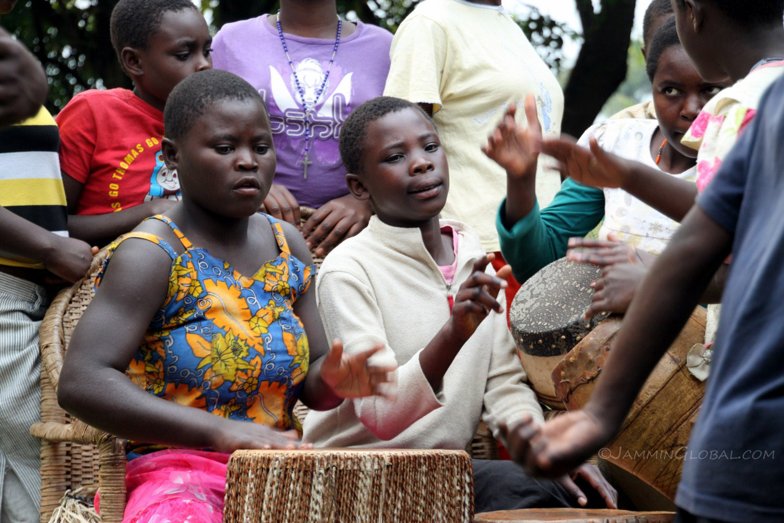
The energy from these girls banging away at these drums was fantastic.
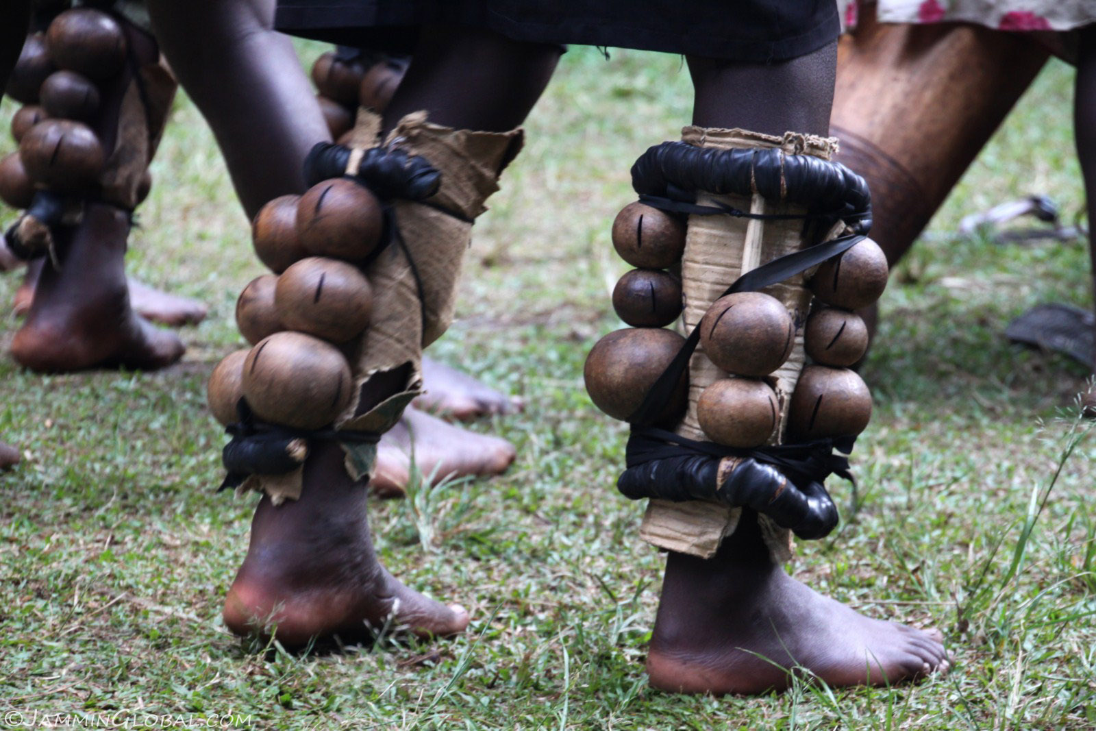
The boys had these rattlers strapped to their legs and they jumped up and down to counter the rhythms from the drums...
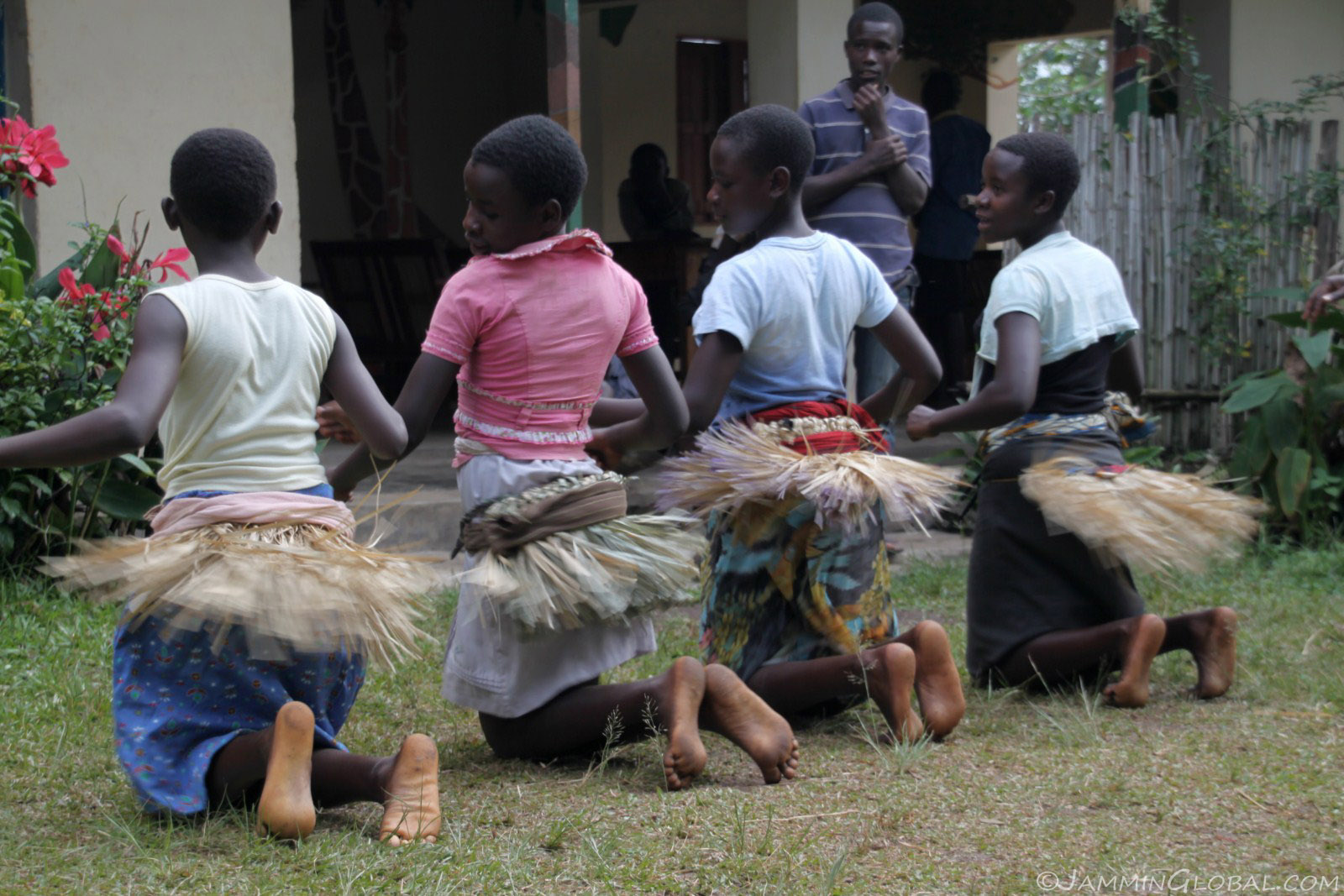
...while the girls shook their tail-feathers.
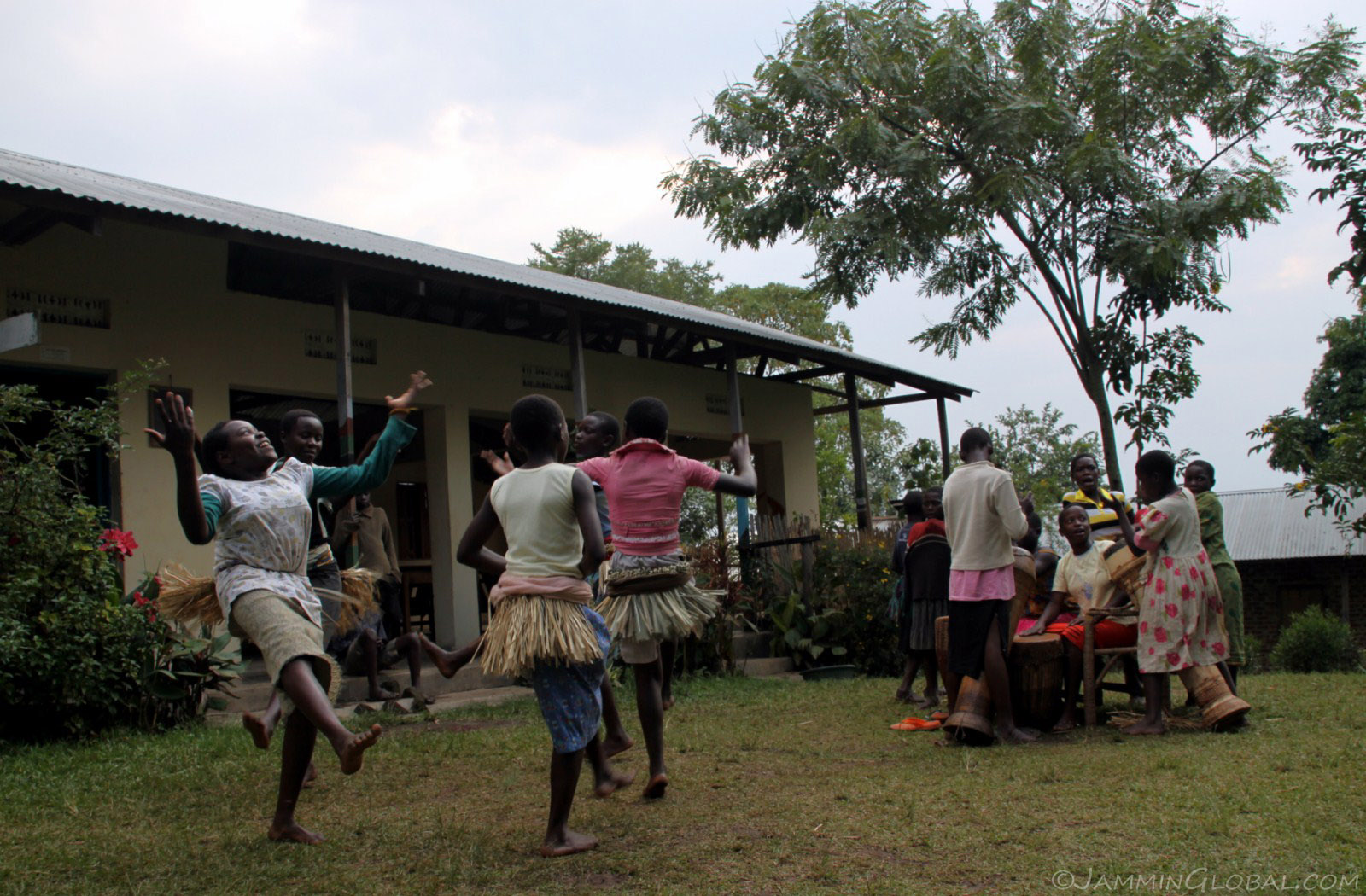
A fun performance and nice to know that they weren't putting it on for us but just dancing for their own enjoyment.
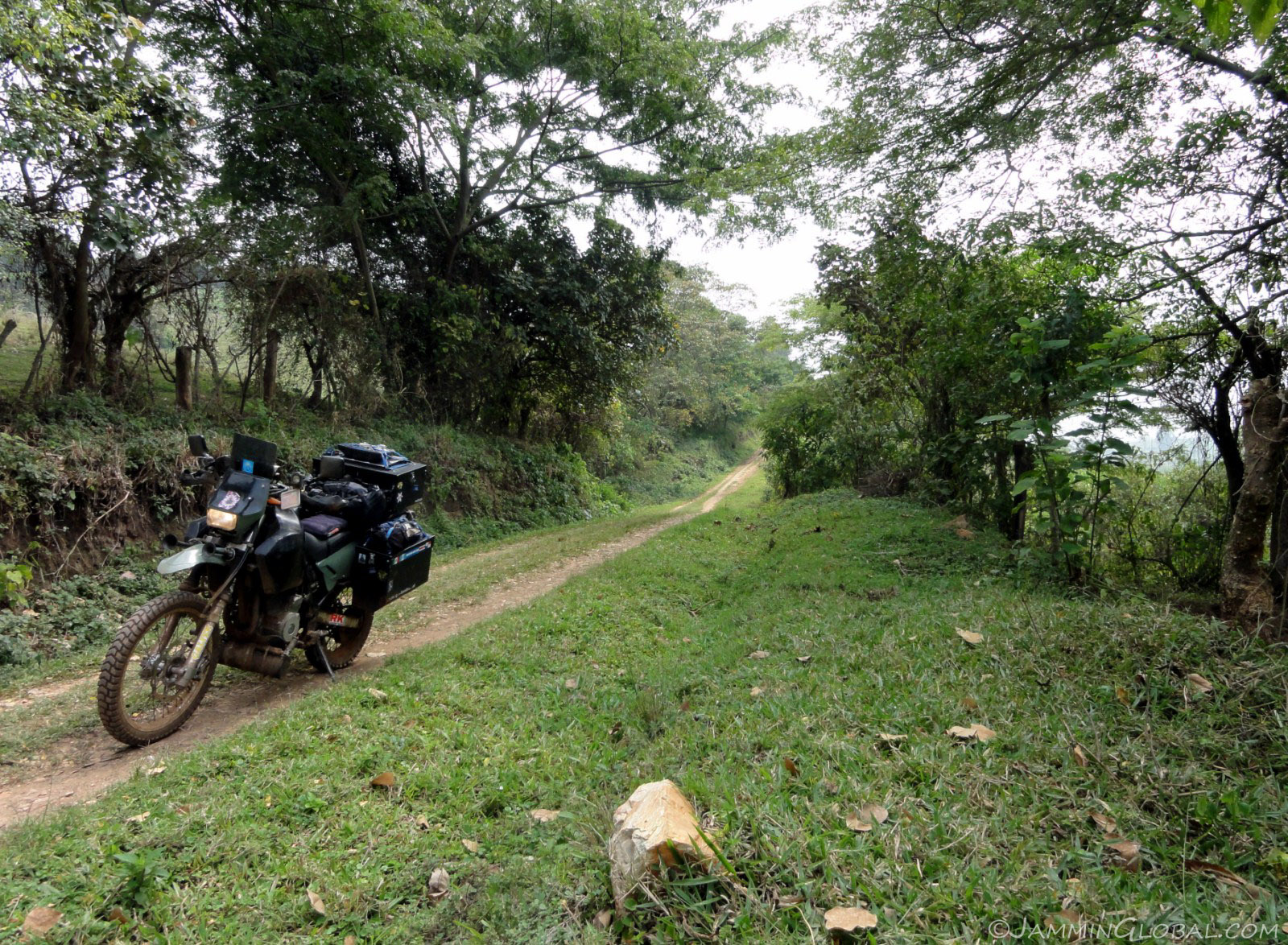
Taking a seldom-used track from Lake Nkuruba back to the highway.
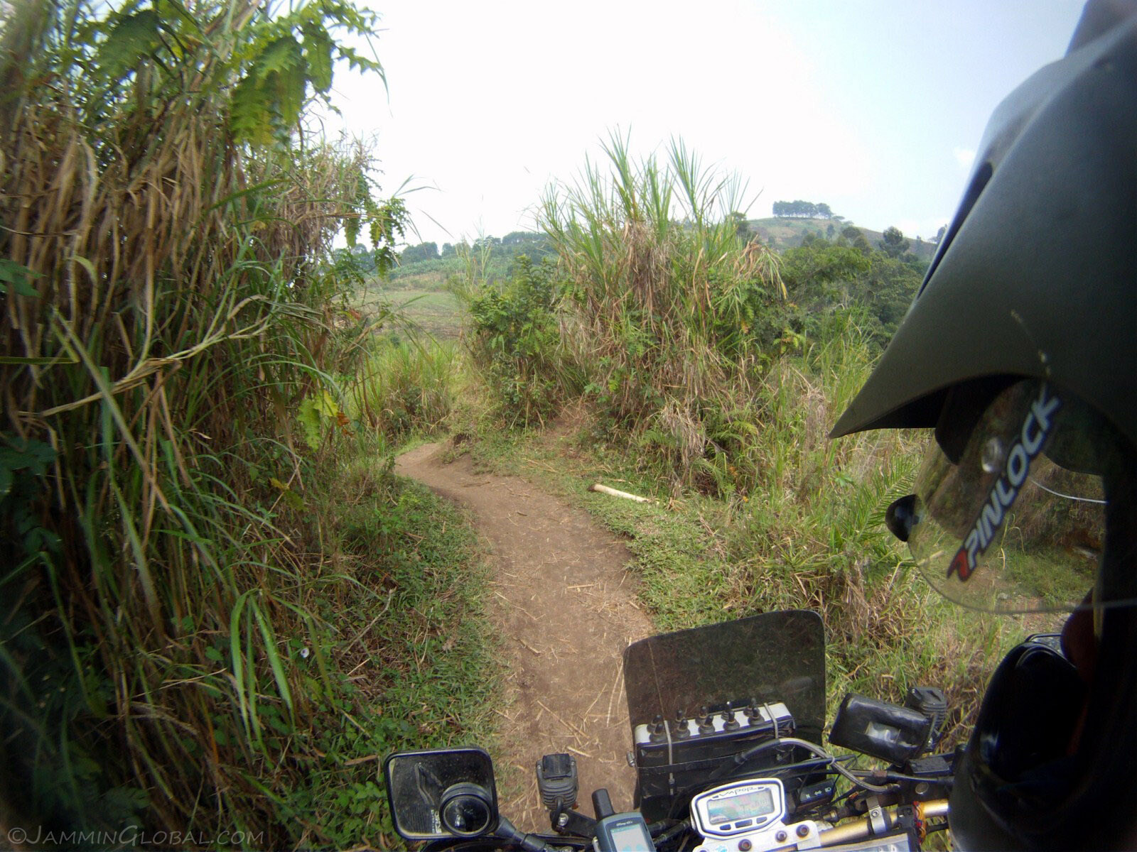
The main bridge was out but there was a small path down to the river. Down we go, down this goat trail.
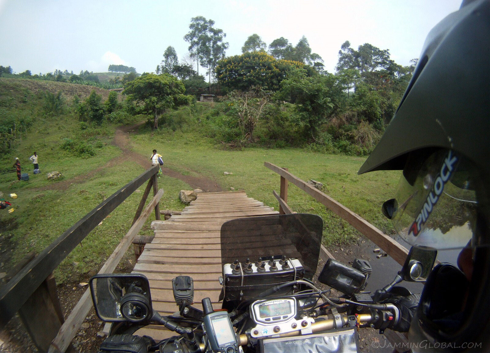
Crossing a small wooden bridge across the river, meant only for foot and bike traffic. I was quietly hoping that it wouldn't crack under my heavy bike.
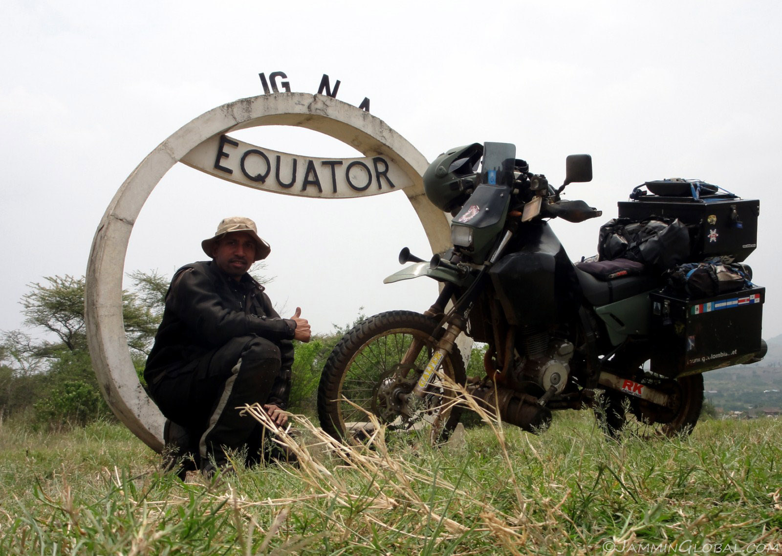
Back on the highway and crossing the equator for the last time through East Africa. From now on, it was all south till Cape Town.
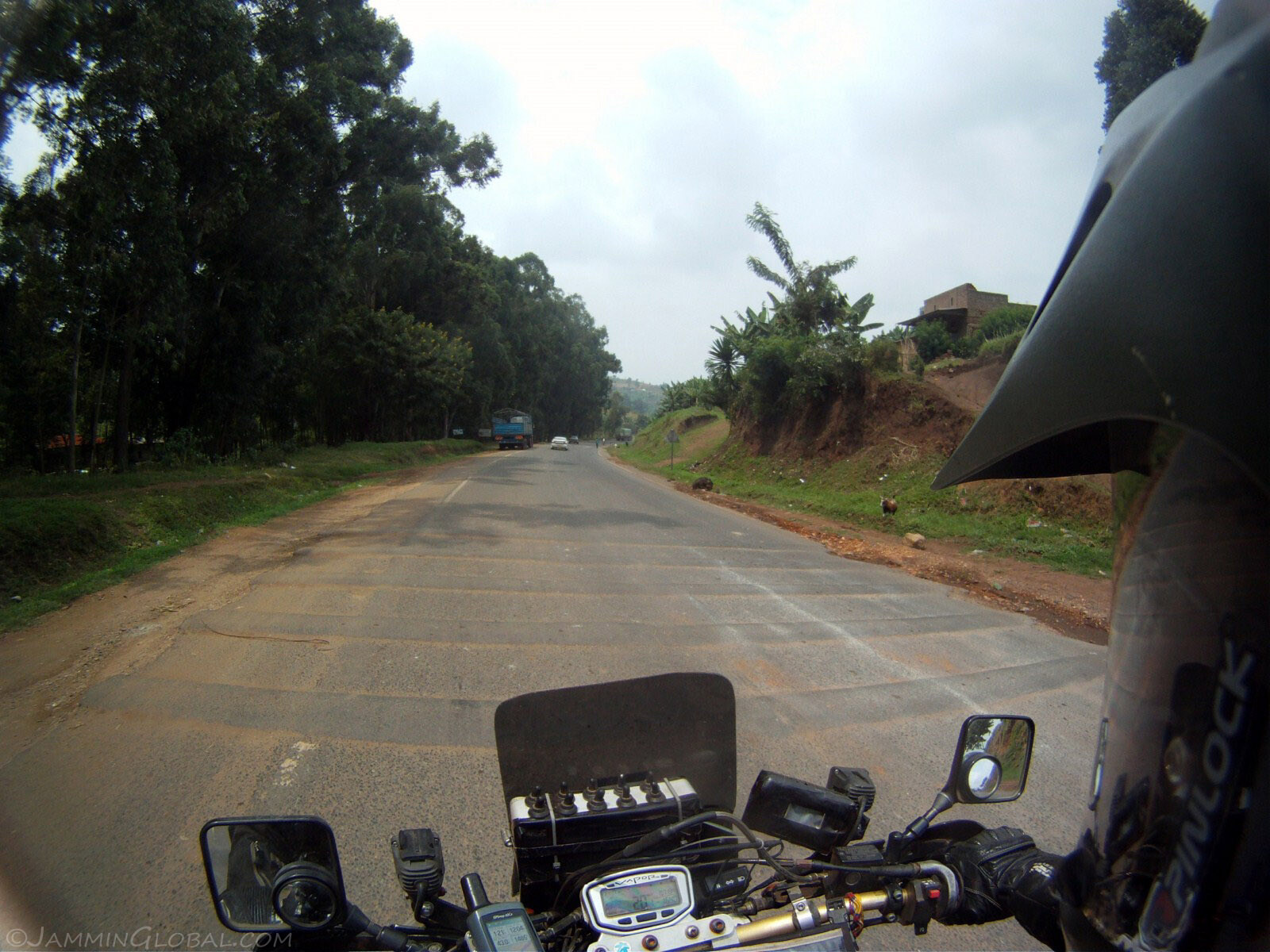
Uggh, Uganda's highways and their multiple speed bumps. I know speed bumps are needed to forcibly slow down traffic that doesn't obey speed limits but what's with five of them in a row?!
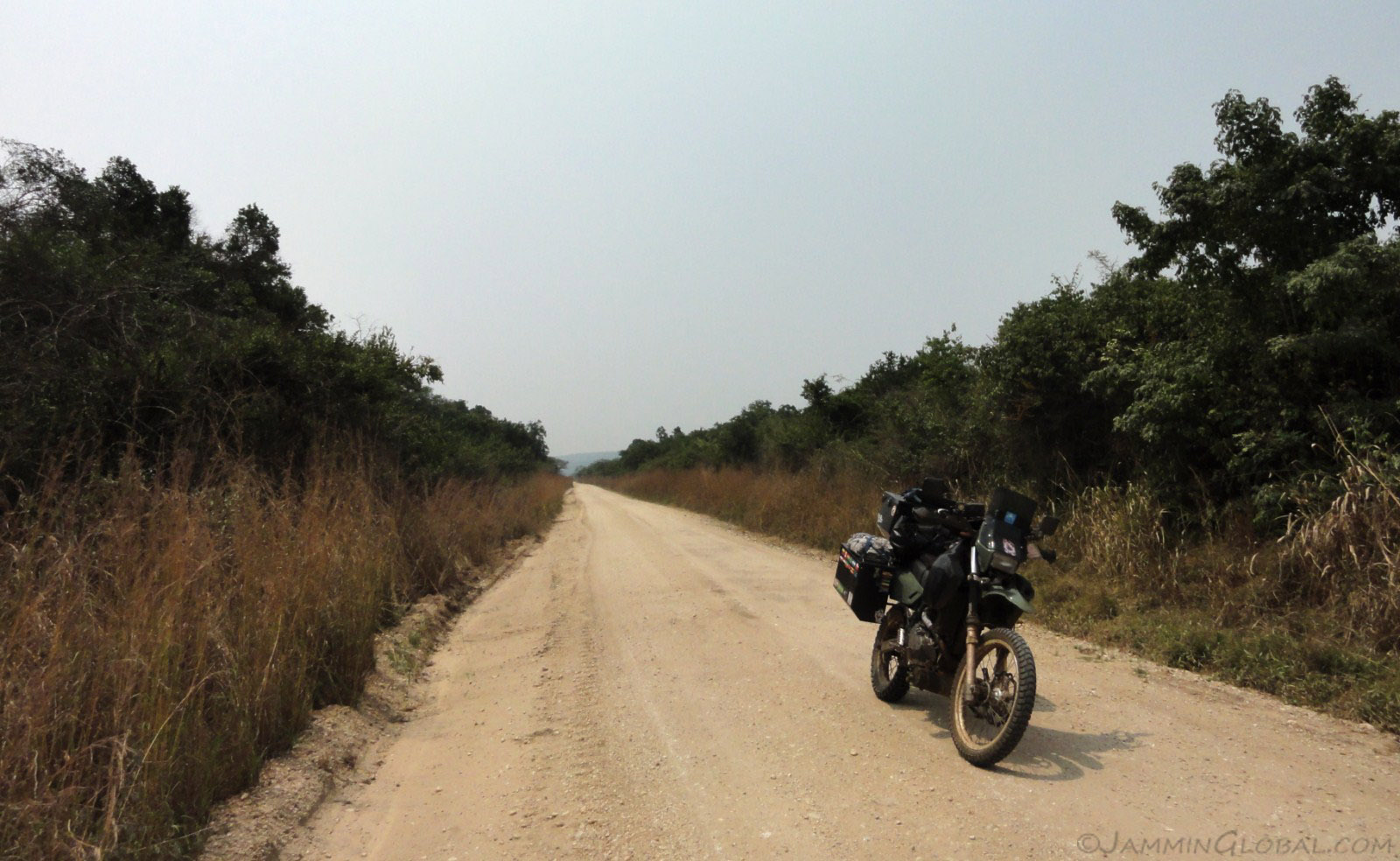
On the remote route through the southern part of Queen Elizabeth National Park. All the animals and game viewing are concentrated towards the northern end of the park and there there's this public road running for about 90 kms (56 mi) through wild bush country.
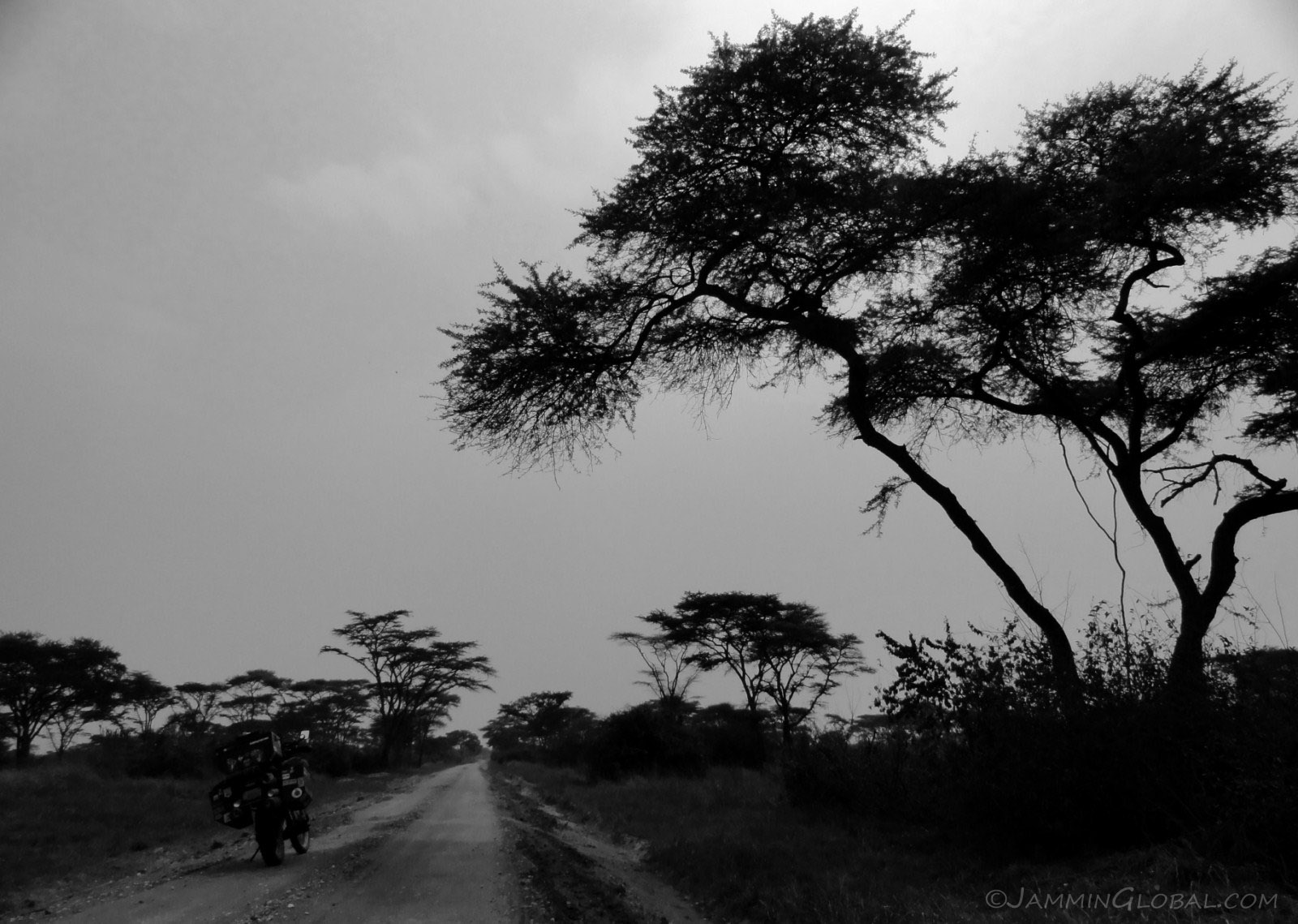
Standing on the pegs, I yelled, "Yeah, this is Afrikahhhh!" and I did that quite a bit through Uganda.

Panorama of the savannahs of southern Uganda.
Click here to see the high resolution version.
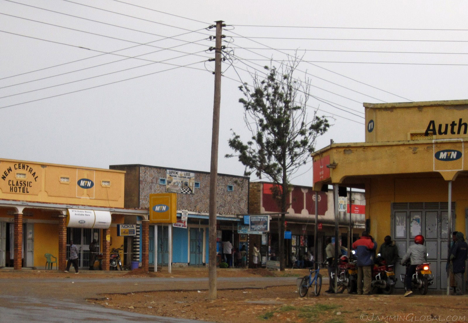
At the southern end of the park lies the small four-corner town of Kihiihi. I hoped to be just passing through.
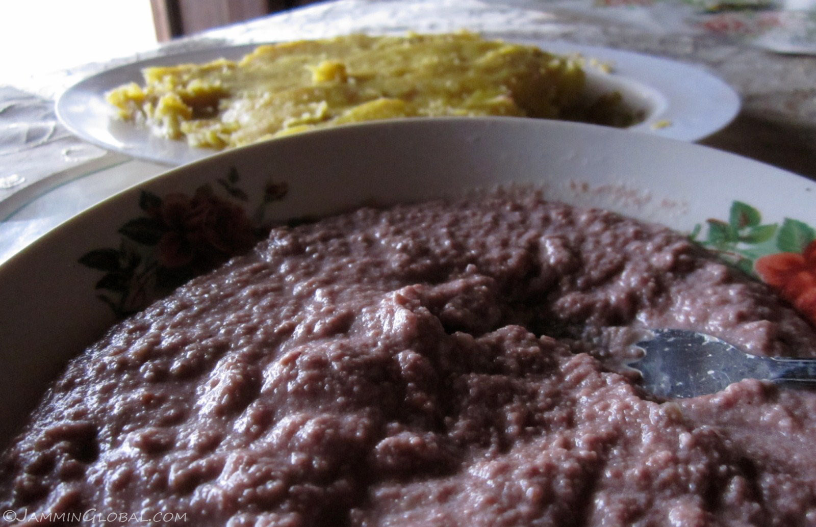
The staples in this region are binyebwa (groundnut sauce) and matoke (mashed raw bananas). G-nut sauce is interesting but I could only take so much of it. It's made from fresh groundnuts, unlike peanut butter that's made from roasted groundnuts. A good source of protein but also high in saturated fats. Matoke was also alright and I was just thinking how different it was to Colombian patacones, both made from similar fruits.
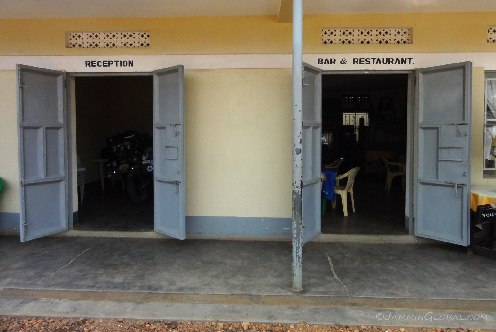
I stayed at the Kashunju Guest House and got sanDRina some secure parking in the reception.
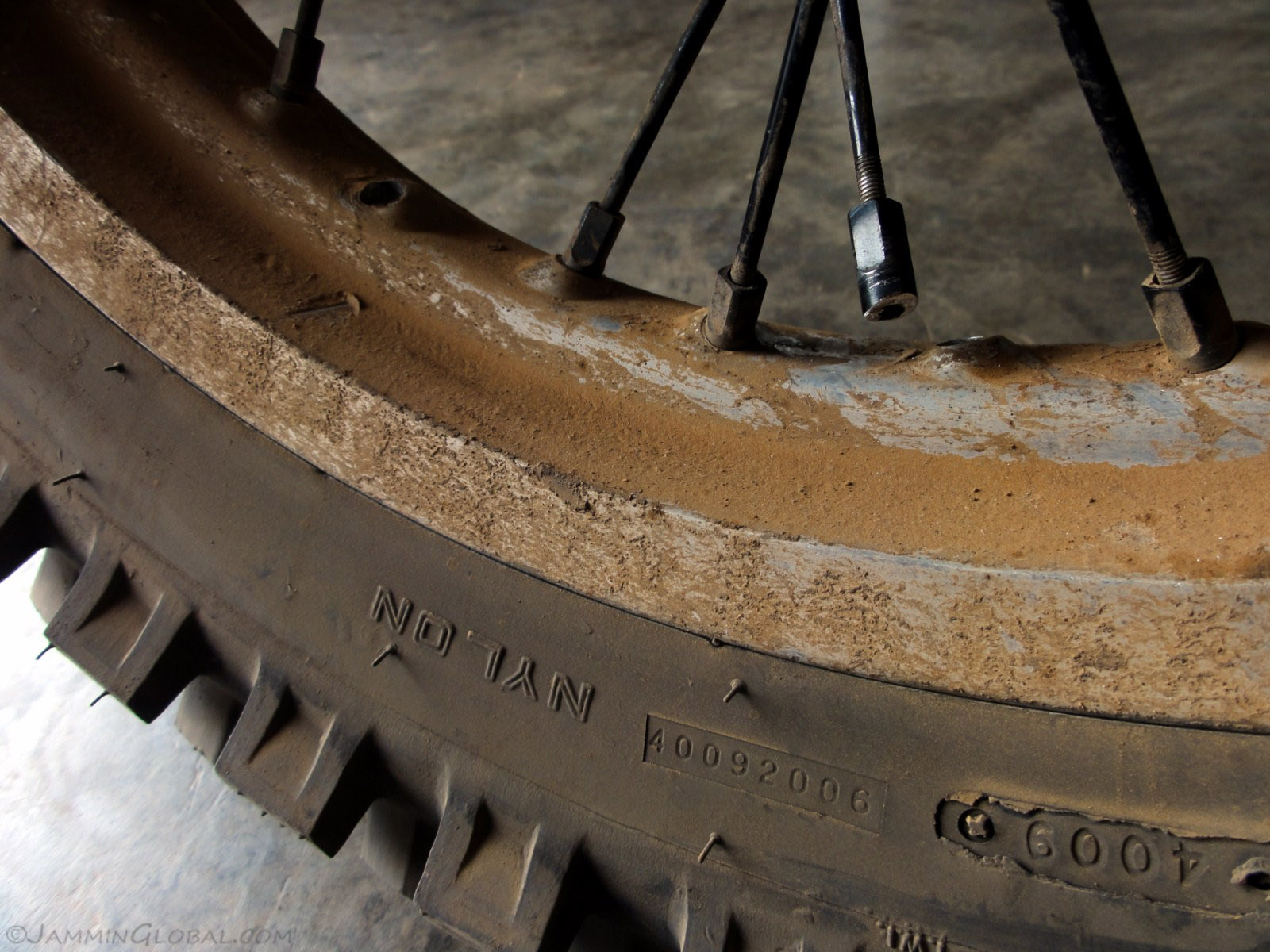
Hmm, that's not good. Towards the end of the ride the previous day, the rear of the bike felt unstable and I saw that I was breaking multiple spokes. I had a new rear hub and aluminum spokes and nipples (the end that screws into the rim) installed in Nairobi and these new spokes were breaking at the nipples at the head in the hub. I'm not sure why, but maybe they were tightened too tight or couldn't handle the weight of the bike. I called up Milan, my mechanic friend in Nairobi, and told him to get the old original hub and spokes ready. I had it replaced because the wheel bearings weren't fitting right anymore, after changing them out a few times. He reconditioned it and a network of friends got the package to me via bus parcel service.
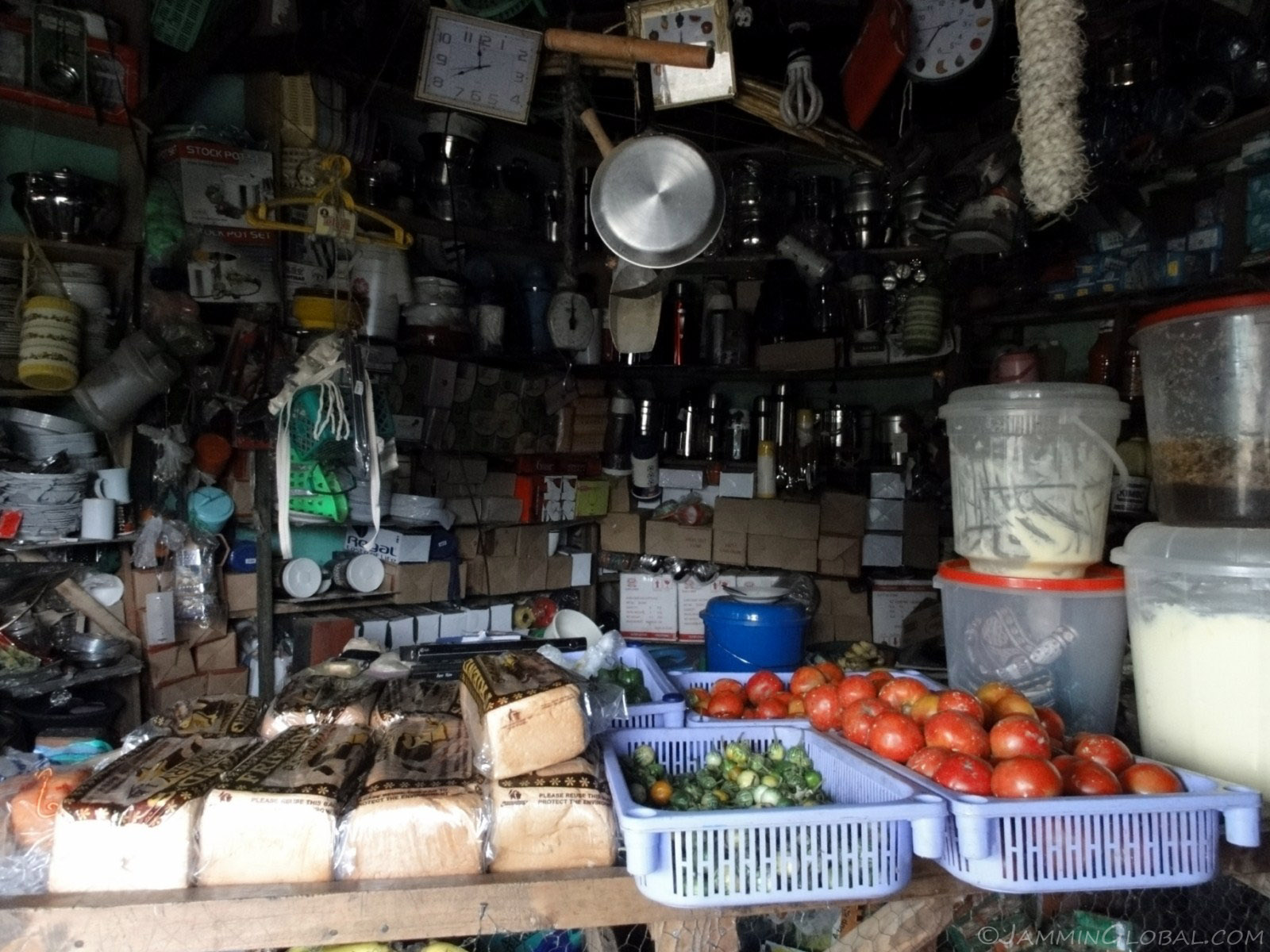
Time to settle down in Kihiihi for a few days and first thing I do is buy some groceries. Eating cheap at restaurants here wasn't going to provide me healthy, balanced meals as they're just focused on starchy carbs and some sort of fatty protein (g-nut sauce) and I can do much better for cheaper with...
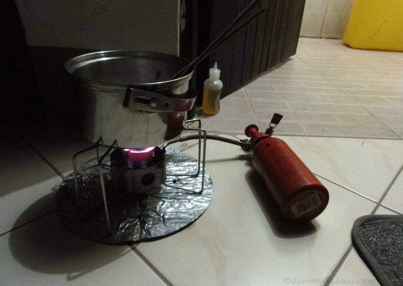
...my MSR Dragonfly Stove and my arsenal of spices and Japanese condiments. A good friend in Nairobi got me a bunch of miso soup packets that add great flavor to anything. I bought some dried soy chunks at the local grocery store and with rice and veggies, I was feeding myself some healthy meals.
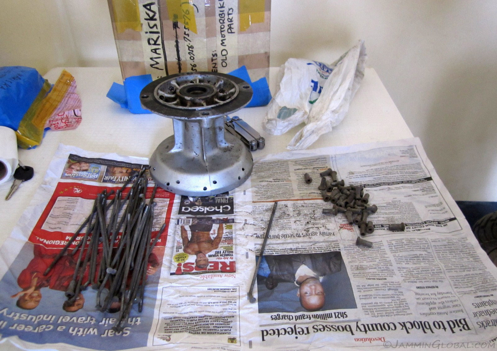
After a few days, the package arrived from Nairobi with my old hub and steel spokes and nipples. Thanks to Mariko in Nairobi and Mariska in Kampala for coordinating this shipment.
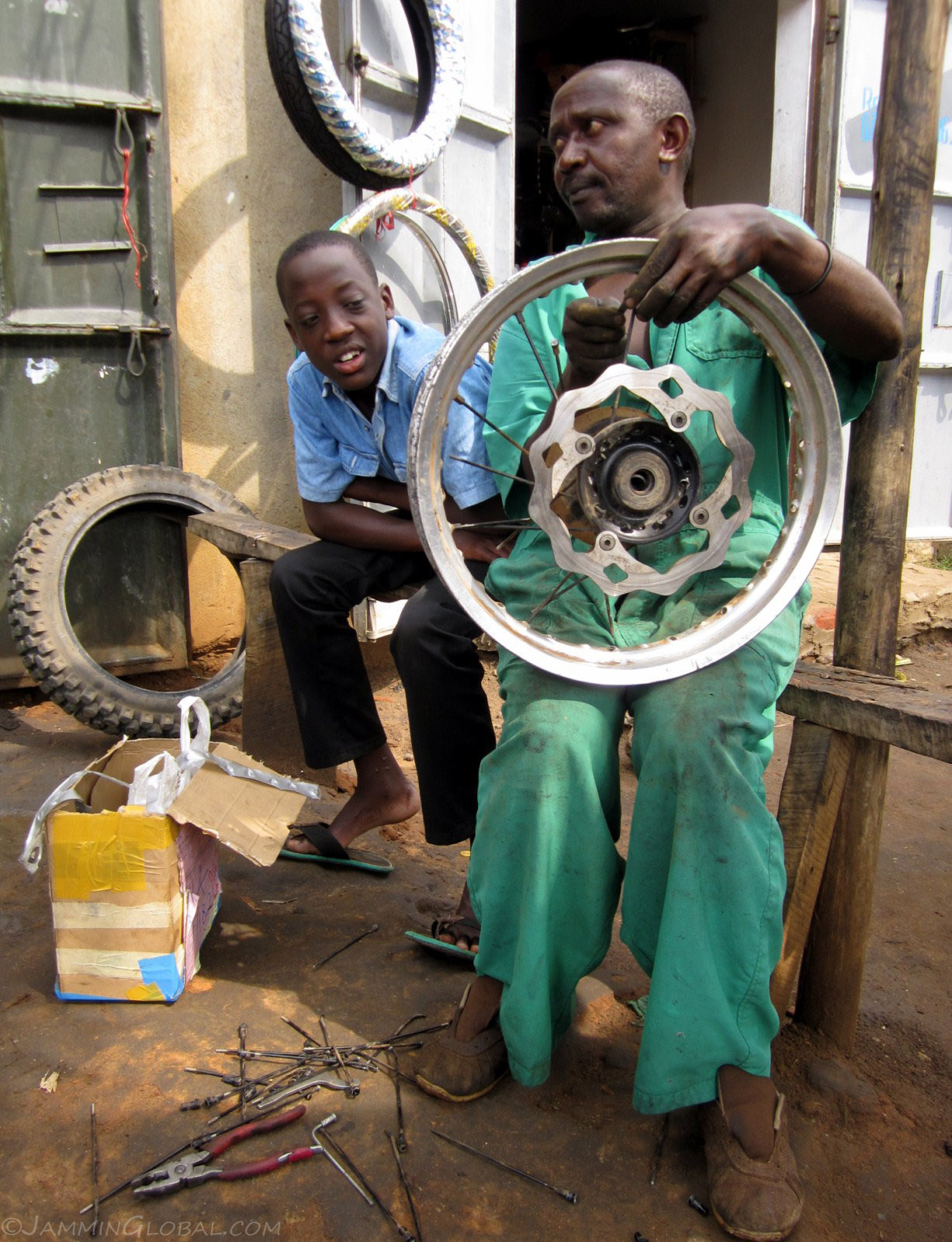
Gordon, the boy on the left, was the son of the hotel owner and he took me to the most experienced mechanic in town, Willy, who used to work in Kampala and knew exactly what to do. As I removed the tire from the rim, a huge crowd gathered around me as the locals were surprised to see that this mzungu knew what he was doing.
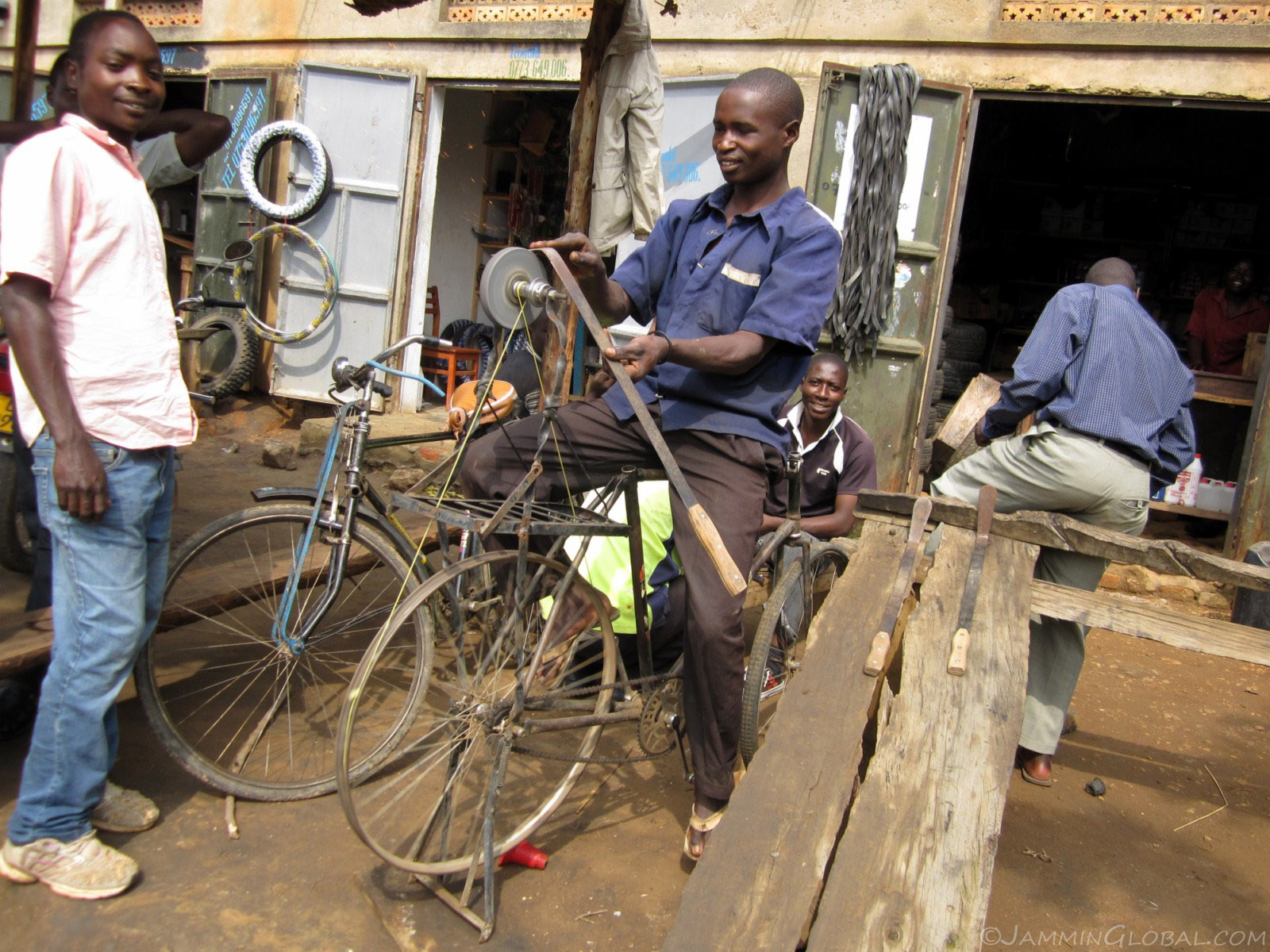
Next to Willy's shop was a series of other mechanics and this guy here is sharpening grass-cutting blades using an old bicycle.
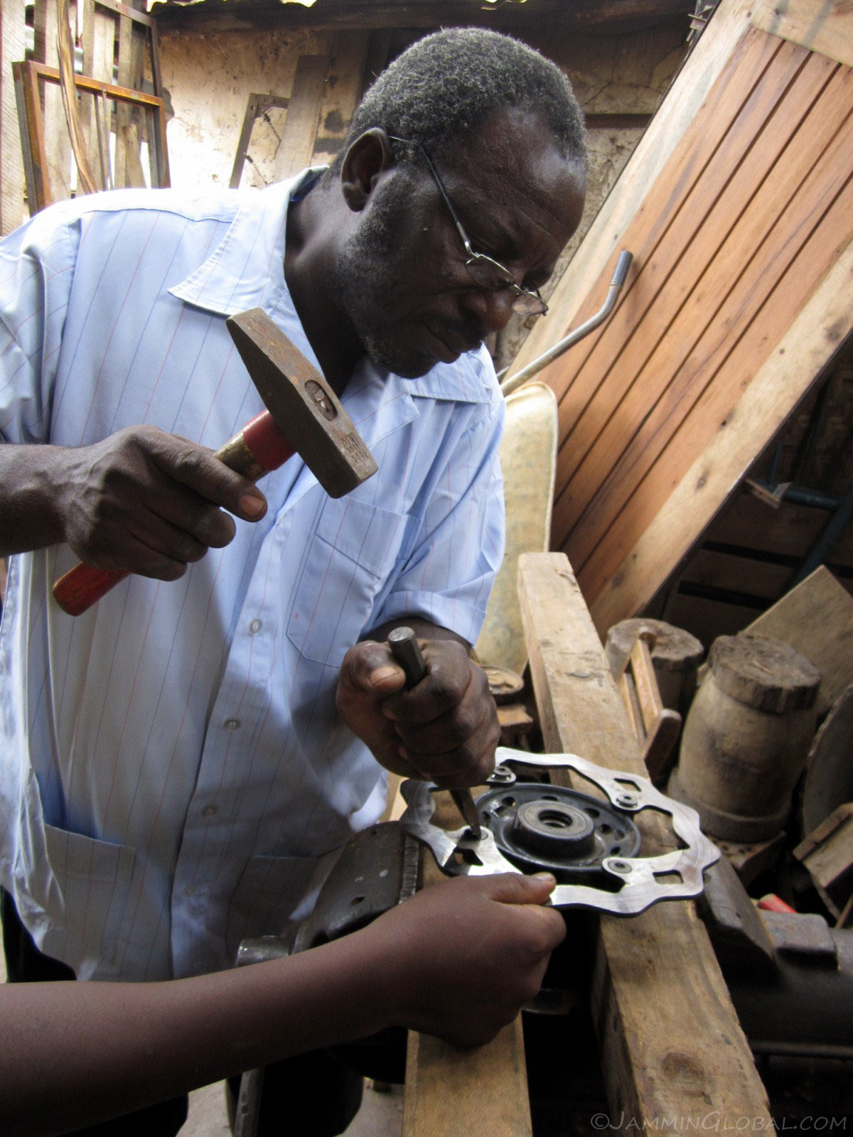
The hex heads of the bolts that were holding my rear rotor into the old hub were starting to strip and George here helped me get them out. He said he was the one who mentored Willy and taught him all he knew. From our talks, he seemed to be an intellectual stuck in a small town due to family obligations.
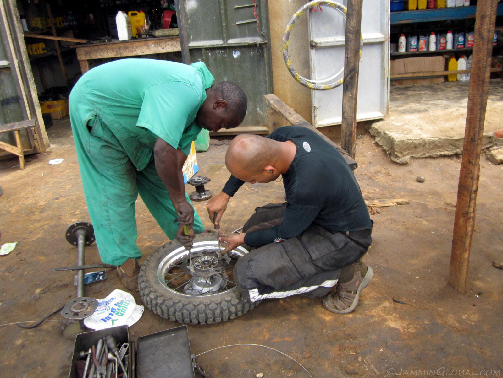
Willy wired up the original hub with the steel spokes and nipples and we're fitting the rear rotor on. George hack-sawed slits across the bolt heads to make it easy to install and remove the next time.

And we're off and rolling again towards Bwindi Impenetrable Forest.
Click here to see the high resolution version.
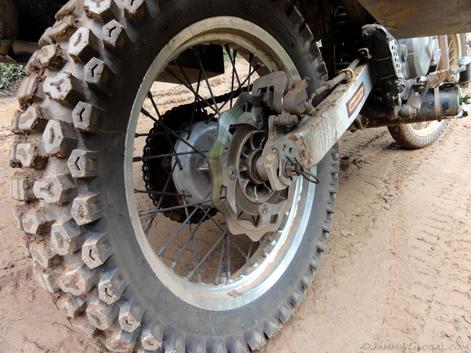
The rear wheel felt great and I was happy to have strong steel parts back on the bike. I guess fancy aluminum spokes and nipples are meant for hard-living DRs.
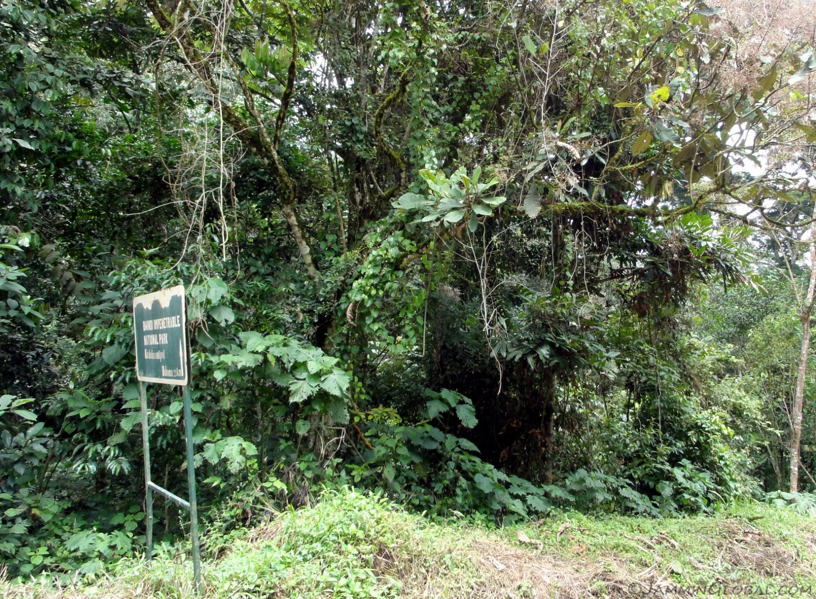
I soon entered Bwindi Impenetrable Forest, so named for its thickets of jungle. This forest is so rich in plants and animals that it is highly protected by the Uganda Wildlife Authority, much to the consternation of the Batwa pygmy people who were living harmoniously in the forest for generations before the national park got established and they got evicted. Bwindi is famous for its mountain gorillas and has half the world's population in its forest. The other half are over in Virunga National Park across Rwanda and DRC.

The road through the forest was good riding and then I came across a corner and saw a huge swathe of uphill wet mud.
Click here to see the high resolution version.
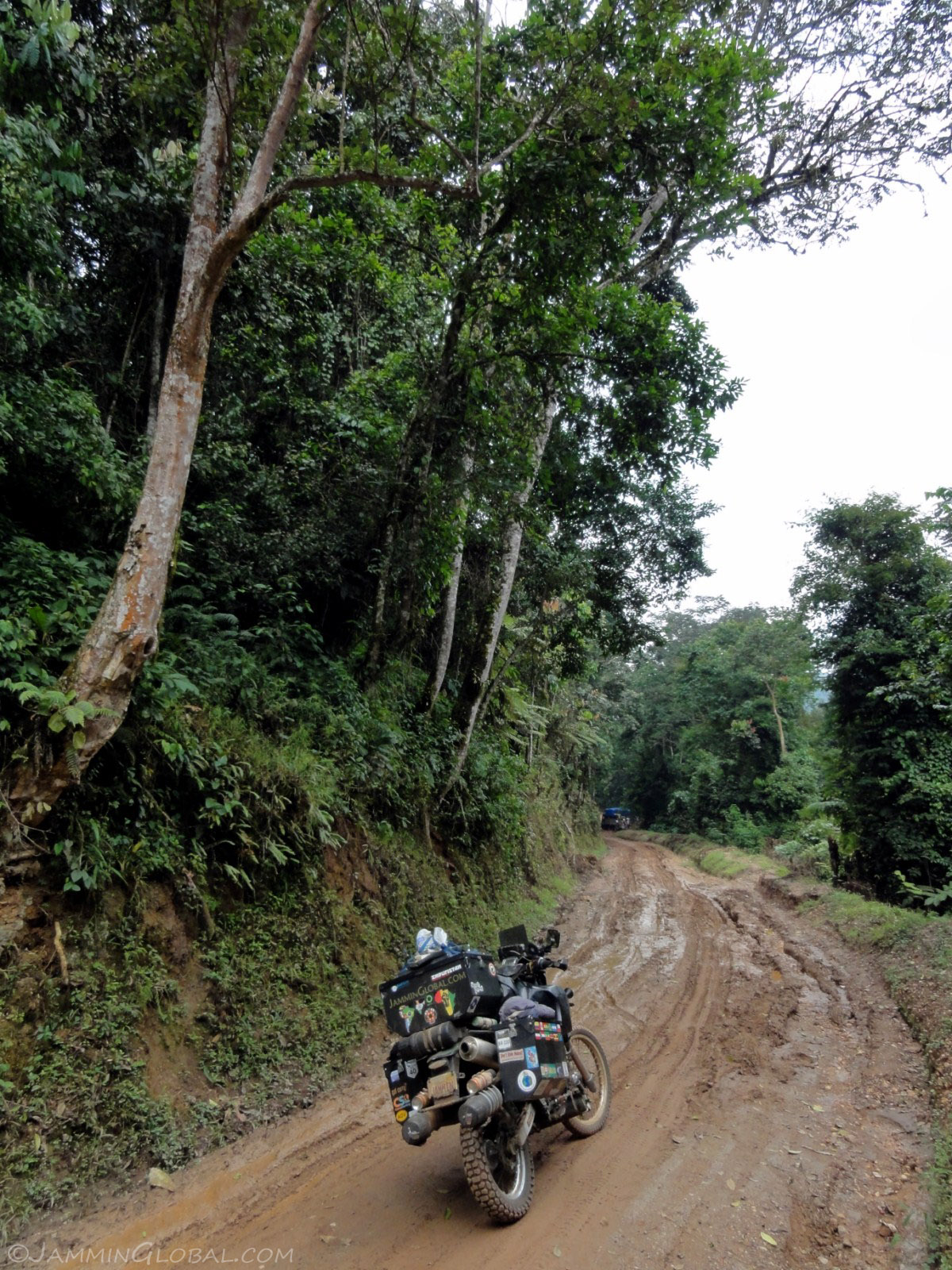
There was a truck up ahead stuck in the mud, so time to take a break and take in the forest surroundings.
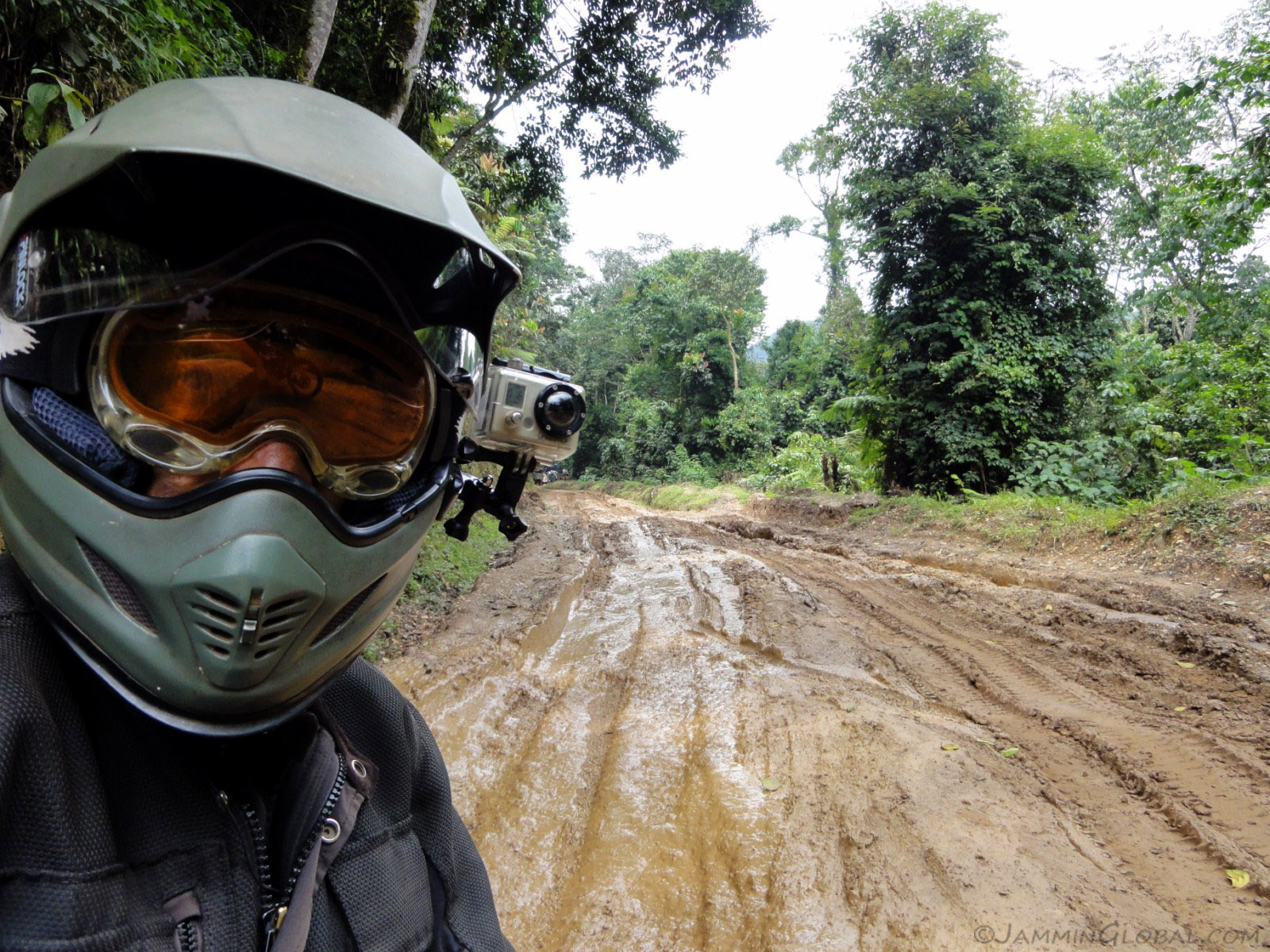
Yay, my least favorite road surface: slushy mud.
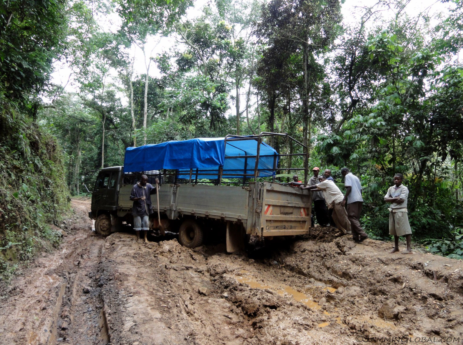
I made it up to the truck and then had to wait it out until it got freed. Lots of torque and wet mud don't go together. Even the torque of the DR is too much for wet mud. I was repeatedly overtaken by local riders on Chinese 125cc bikes, on bald tires, just cruising by.
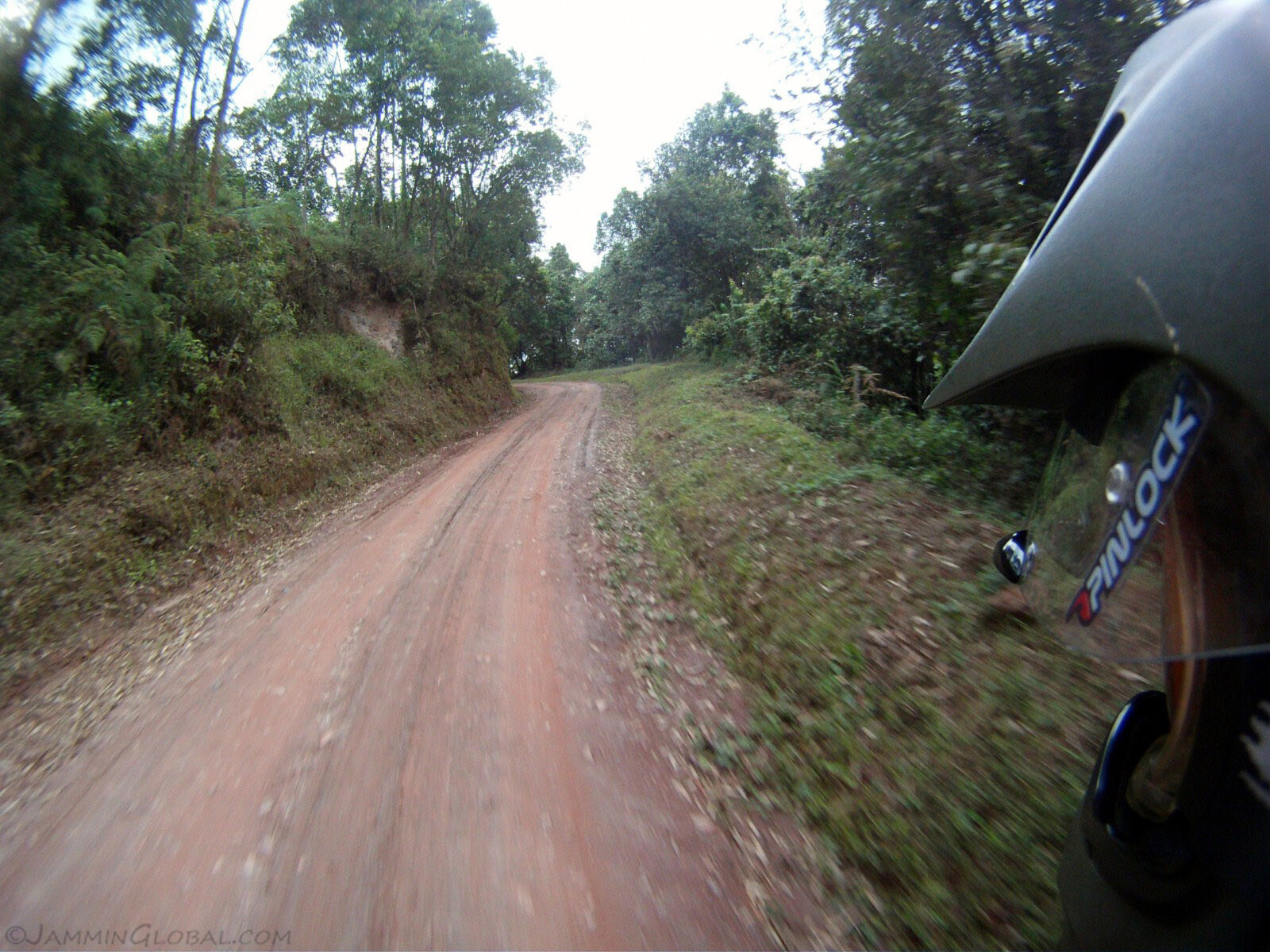
Back on dry, hard-packed mud and flying through the forest. I'm grateful for these roads through or near national parks that allow me to experience them on my bike and at the same time I'm aware that roads like this are what lead to degradation of these ecosystems.
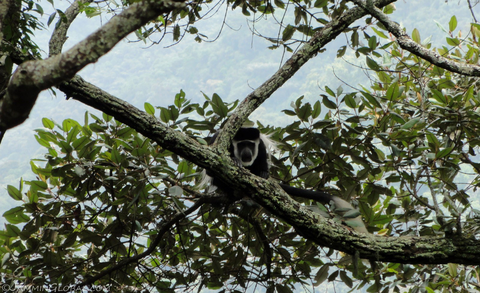
Taking a break and I noticed this black-and-white colubus monkey checking me out. I did the same with my camera and then he scooted off.

A wide angle shot of the road through Bwindi Impenetrable Forest and its rugged terrain of steep hillsides and deep valleys covered in think jungle.
Click here to see the high resolution version.
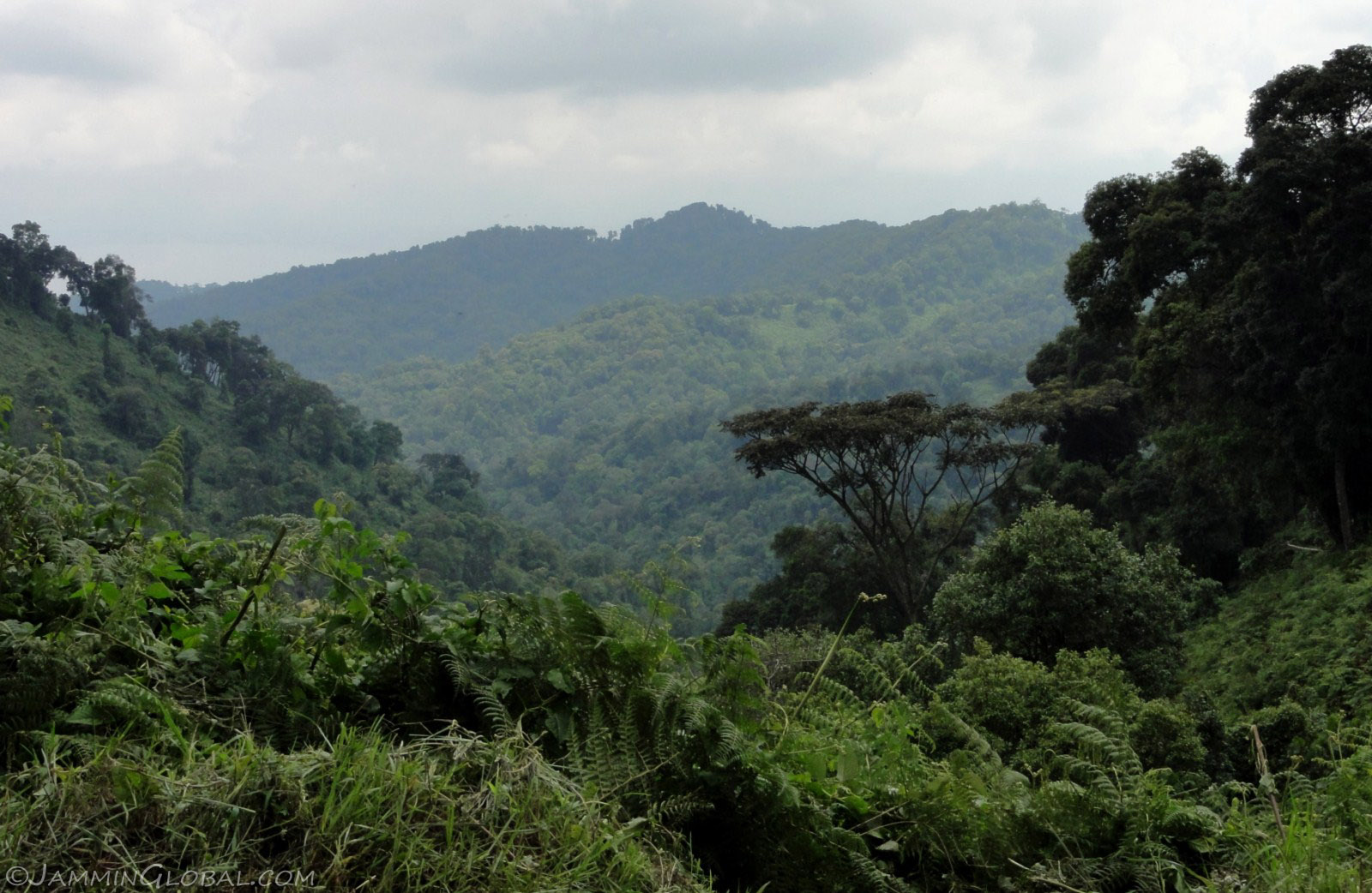
Thick, green rainforest as far as the eye can see. A true treasure of our world.
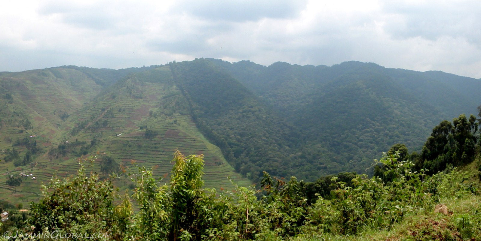
A line on the map demarcating where the protection of the forest ends and where the local people take over and cultivate their crops. Tropical rainforests are more valuable to us left untouched than simply cutting them down, selling the wood and creating more farmland. But deforestation in the tropics isn't going to stop until the people who live in or near the forests are able to make an income without degrading the forests. Maybe some of that \$500 gorilla viewing permit should be dispersed to the local community instead of filling the coffers in Kampala.
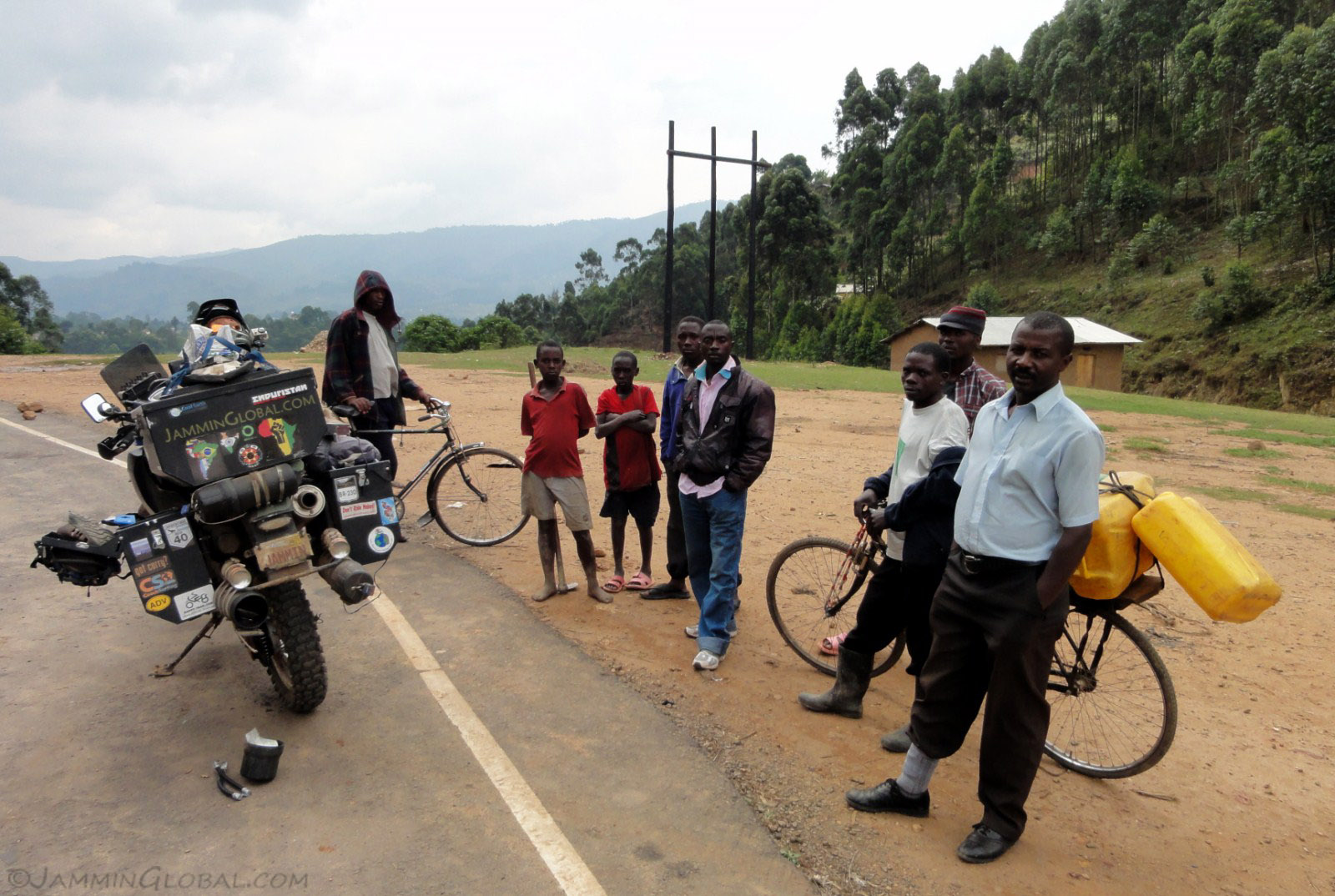
I got back on the tarmac and as I used my CyclePump air compressor to fill up the tires, an audience gathered. It takes some getting used to, but by now I can just continue working on whatever I'm doing with a group of people nearby just staring at my every action.
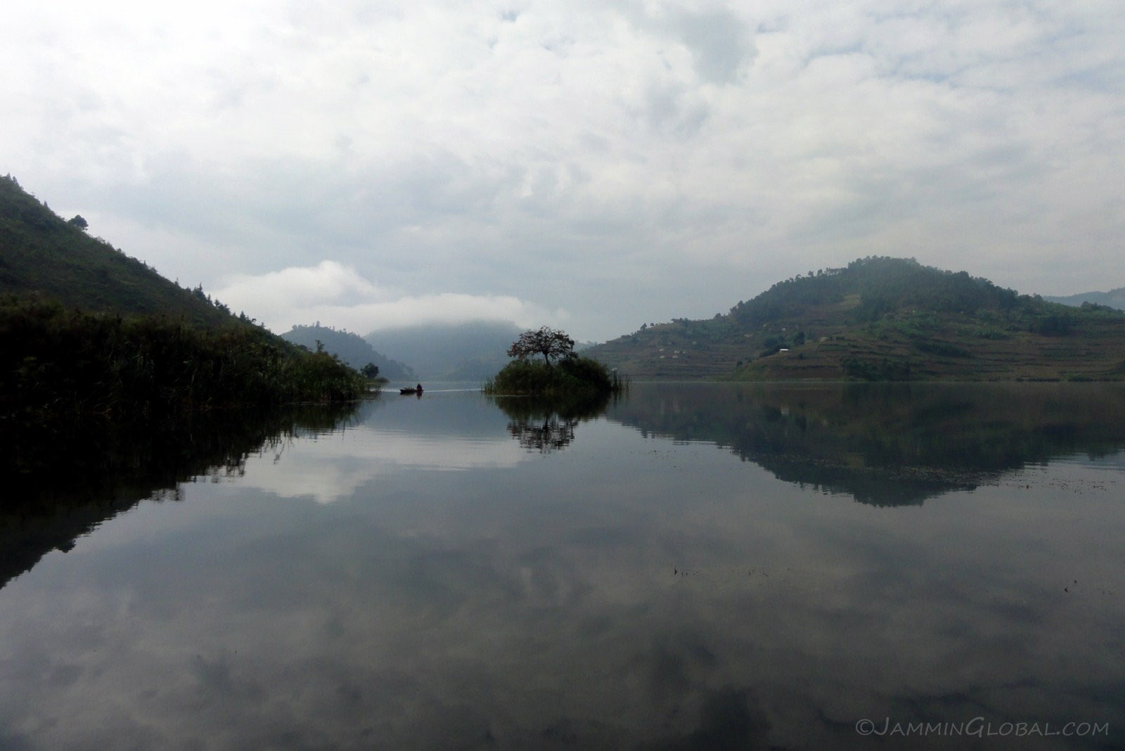
A few more kilometers and I was down at the northern end of Lake Bunyoni, a tranquil and beautiful setting.
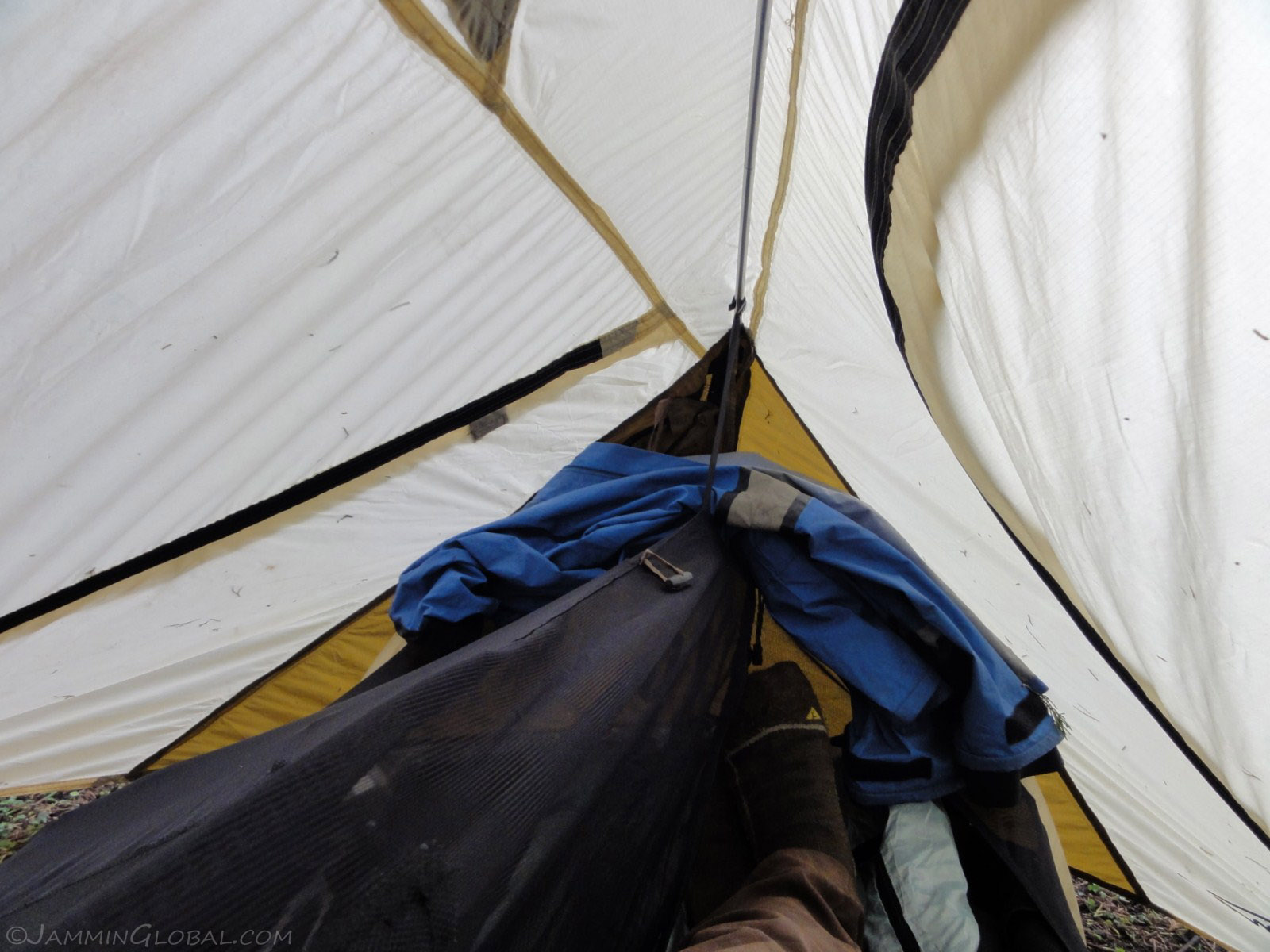
I setup my Catoma Twist tent at Muko Campsite just as the afternoon rains started and took shelter in my simple abode. It's a one-man tent with a mosquito mesh and a rain fly on top. It's meant only for lying down but I can just about sit up.
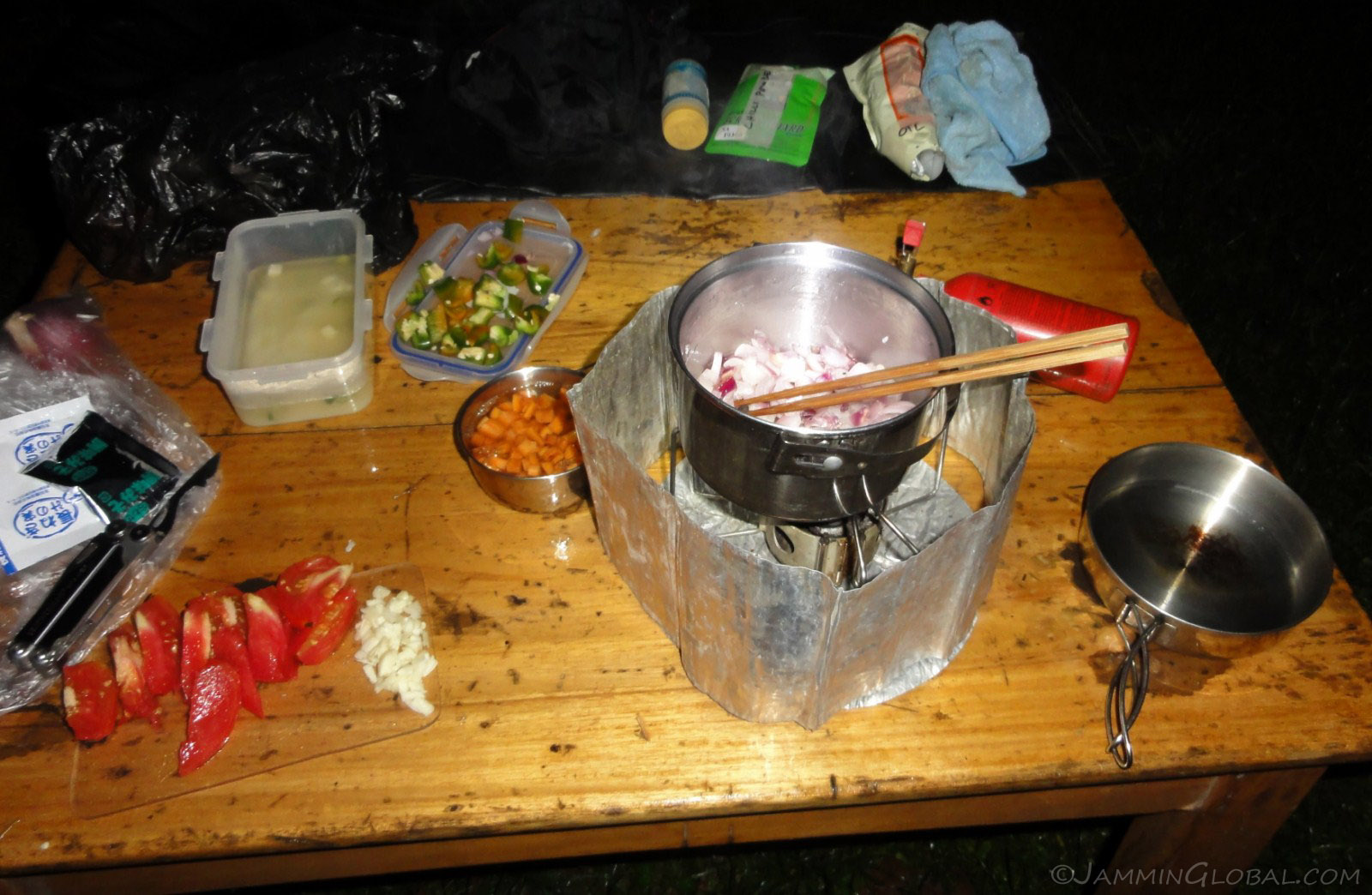
Once the rains passed, I set about making dinner. They brought a table out for me and the Jammin Cooking Show was on at Lake Bunyoni.
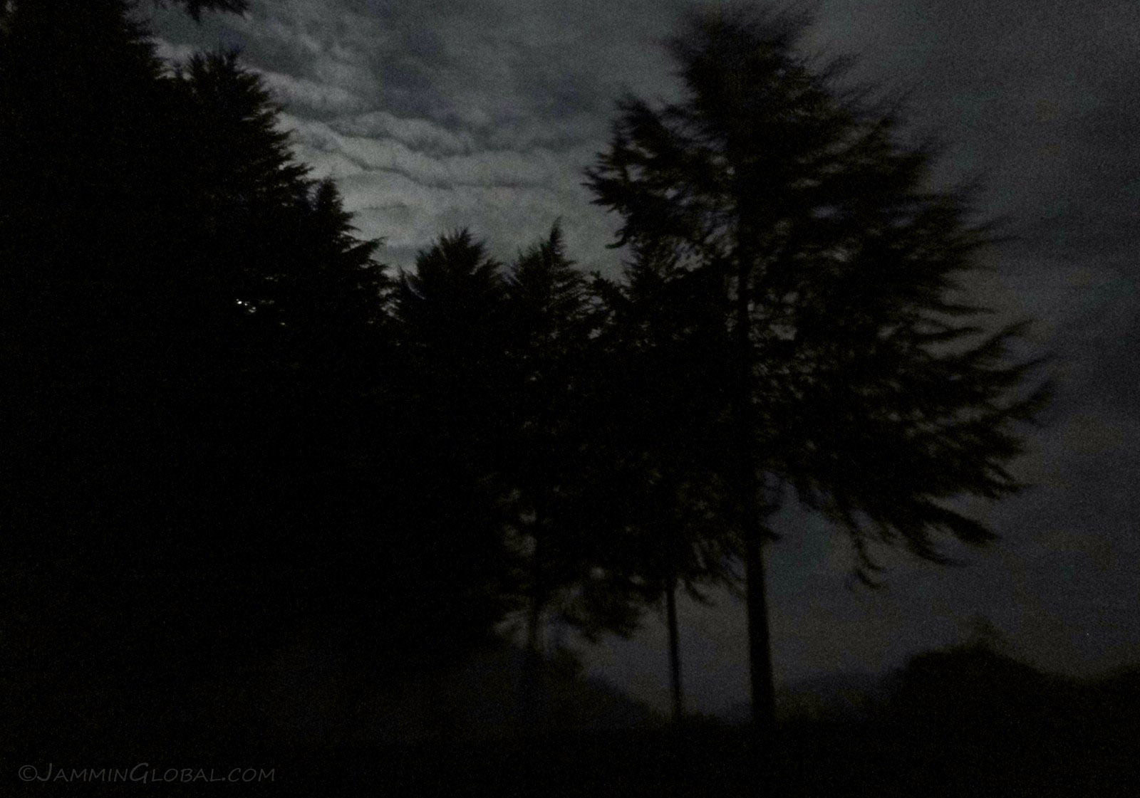
I enjoyed my dinner of a hearty vegetable soup while taking in the silhouettes caused by the full moon.

The lovely treed campsite at Muko with the morning fog slowly rolling back.
Click here to see the high resolution version.
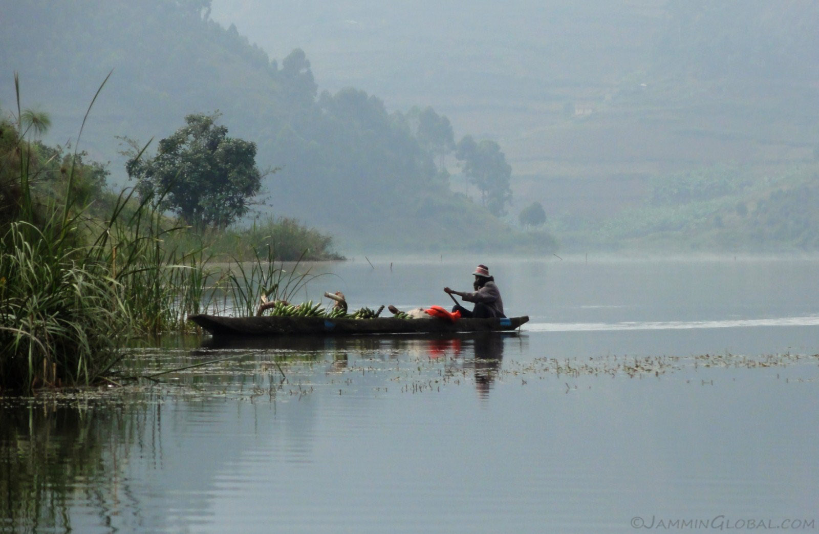
Life on Lake Bunyoni: a farmer bringing in his haul of raw bananas to sell in the market to be made into matoke.
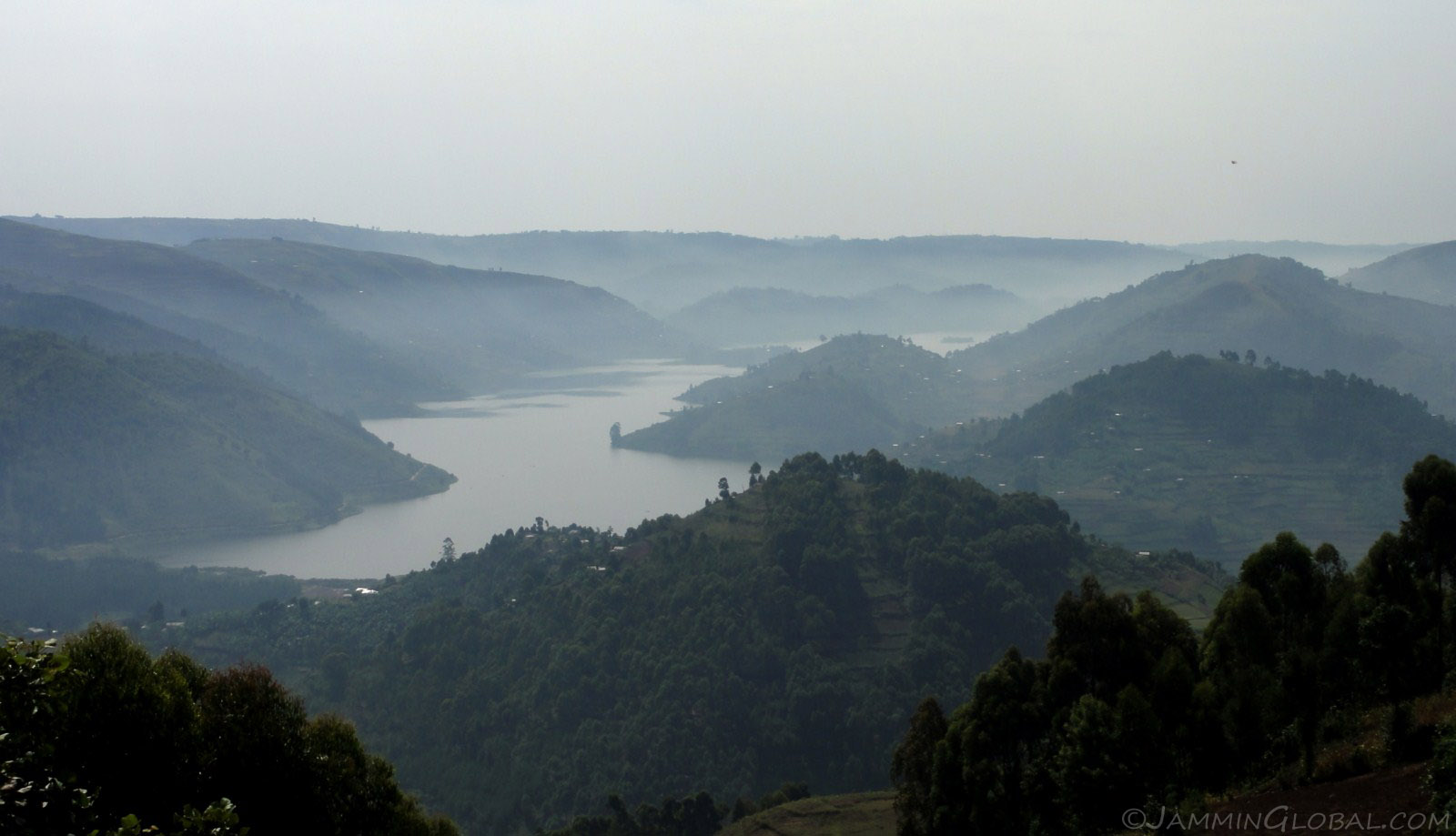
As I climbed up above the lake, I could only imagine how far the lake snaked its way through the mountains and valleys. There's a nice dirt track along the lake; for another time.
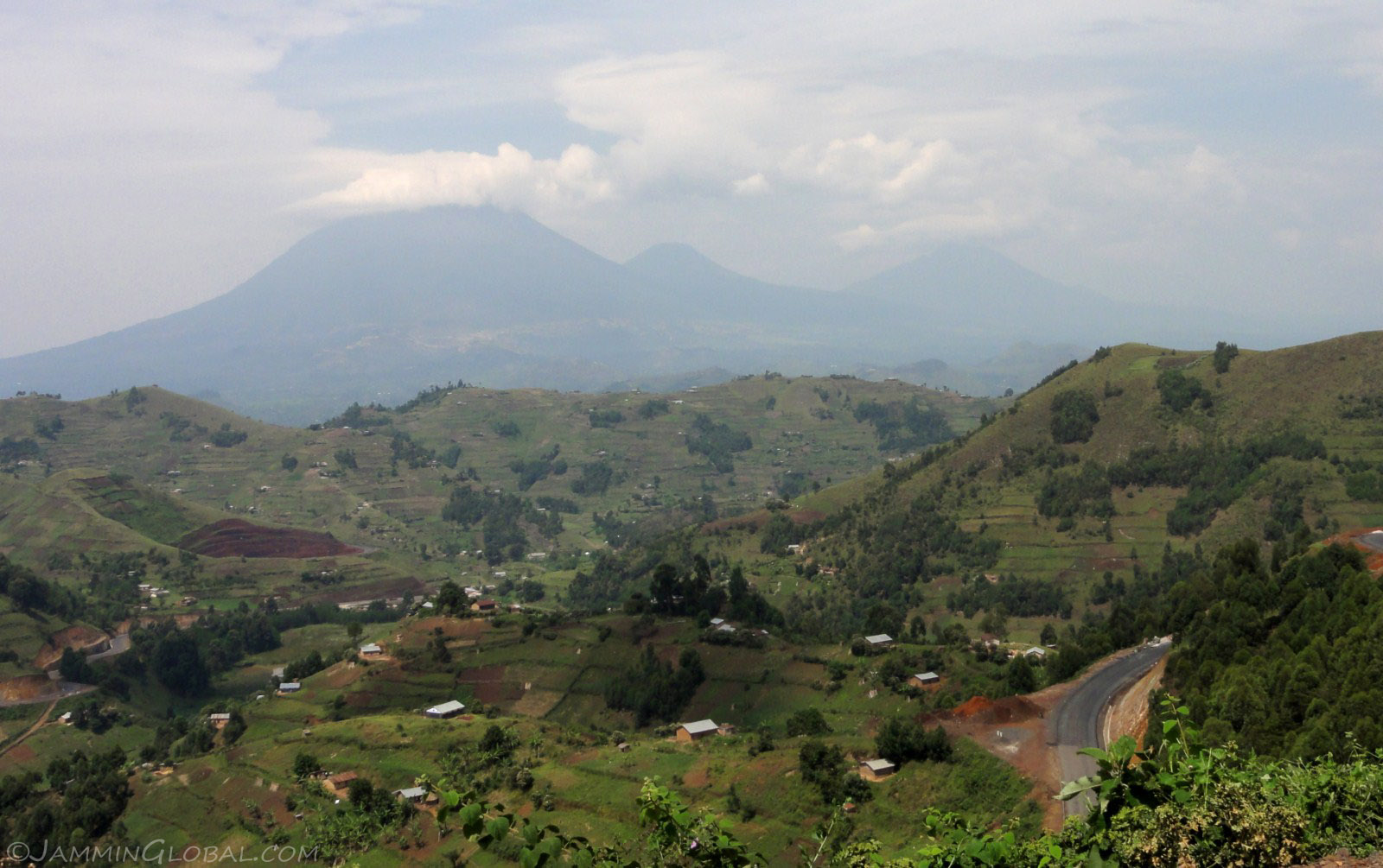
As I made my way to Kisoro and the border with Rwanda at Cyanika, I came around this one corner and bam! there's the massive Gahinga Volcano on the landscape and slowly more volcanoes came into view and I knew that I was looking at the grand Virunga chain of volcanoes. The other half of the mountain gorillas live somewhere on those volcanic flanks. I wound my way down and kept enjoying the view of volcanoes in my sight.
Uganda certainly has the sights and as some say, could be a microcosm of the rest of Africa. There's grand volcanoes, thick rainforests, vast savannah, muddy mountain roads and friendly people. I think a few more weeks here would've been good as I just glimpsed a slice of this Pearl of Africa.
Next: Rwanda: Lake Kivu Off-roading and Remembering 1994
Previous: Kenya, Part 11: Hells Gate, Lamu and Elephant Orphanage