Patagonia, Part 4: Backtracking up the Austral and down the 40
— Argentina, Carretera Austral, Chile, Patagonia, Ruta 40 — 10 min read
January 17 - 21, 2011
I had reached the current terminus of the Carretera Austral in Chile's Northern Patagonia. From Villa O'Higgins, to continue south to Ushuaia, one needs to backtrack about 300 kms (186 mi) north before catching the road east across into Argentina and then turning south.
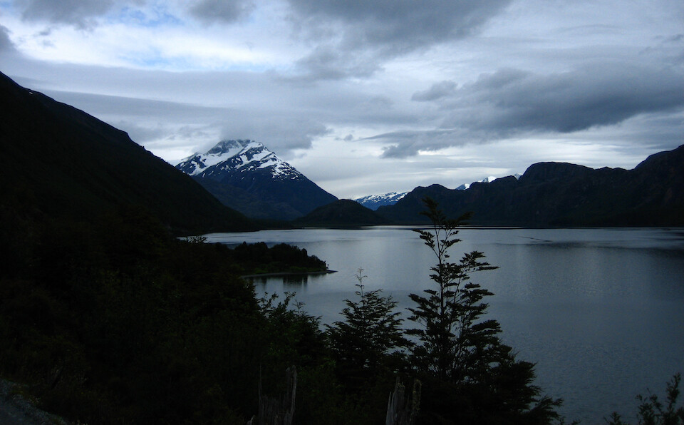
After spending a relaxing morning at the campground in Villa O'Higgins chatting up with other travelers, I got a move on to catch the 1 pm ferry from Rio Bravo to Puerto Yungay, because the next ferry was at 7 pm. I slightly envied the cyclists and backpackers who could continue on foot south to El Chaltén, whereas it would take me 4 days to loop around to get to the same place.
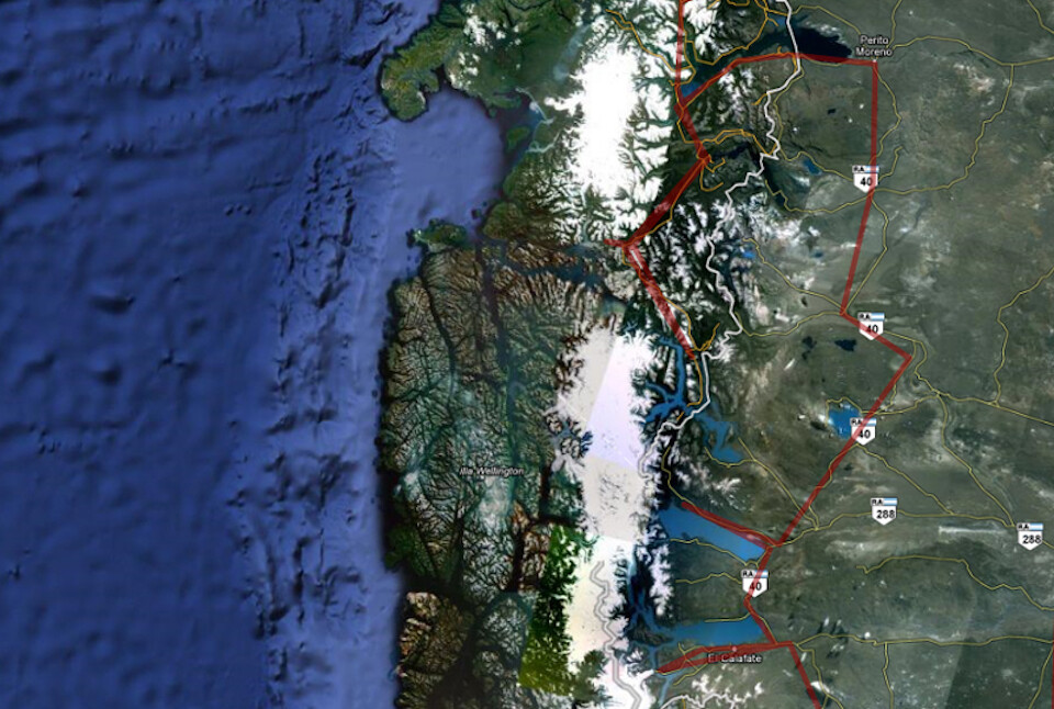
My route backtracking from Villa O'Higgins, around Lago Carrera General and down Ruta 40 to El Chaltén and El Calafate. The Carretera Austral ends at Villa O'Higgins as the huge Southern Patagonian Ice Field prevents progress further south and this demarcates Northern and Southern Patagonia in Chile. Click on it to go to the interactive version in Google Maps.
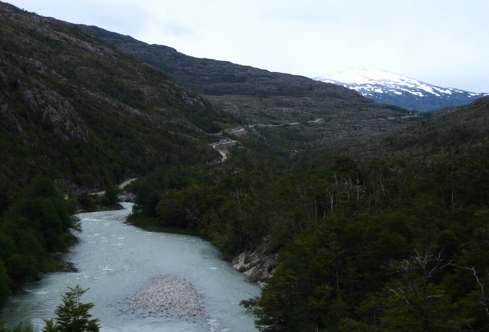
The Carretera Austral heading back north to Rio Bravo. This 100 km (62 mi) section felt the most remote of the whole route and was quite a special place to ride. The local weather was affected by the one big mountain ridge that the route crosses, being foggy and cold on one side and sunny and slightly warmer on the other side.
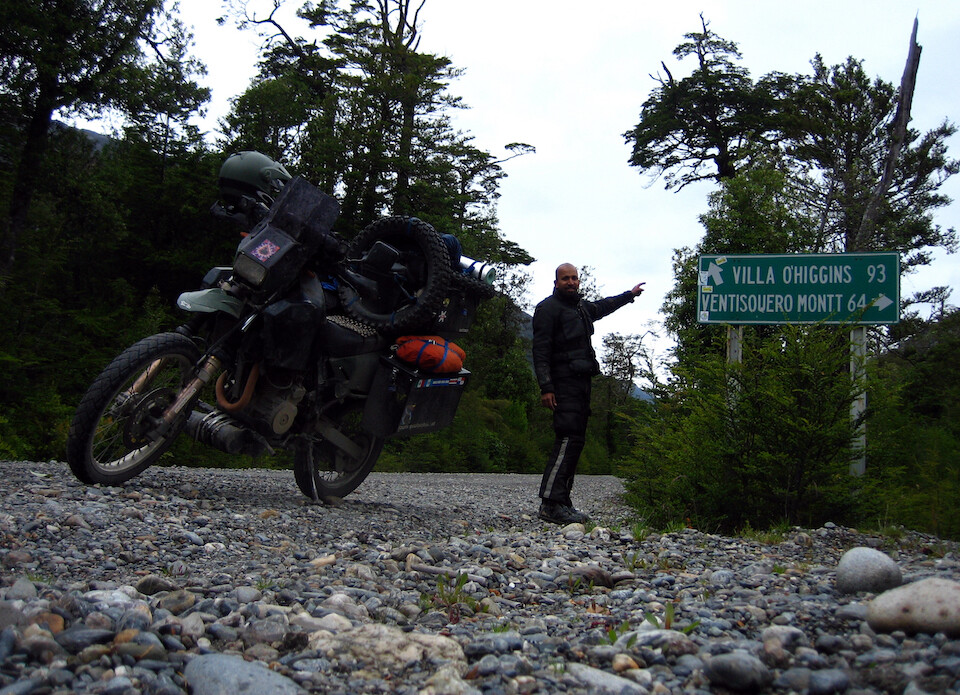
Yup, I've been there. Maybe when I come back next time, I can head right and see if the Carretera continues further south...
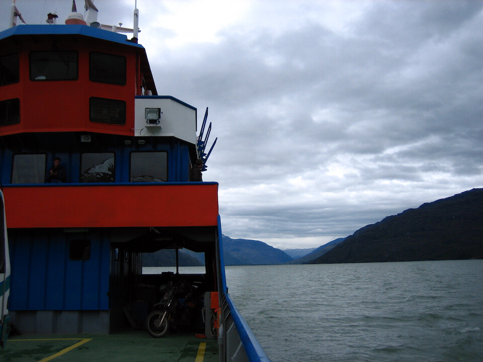
Back on the ferry over to Puerto Yungay.
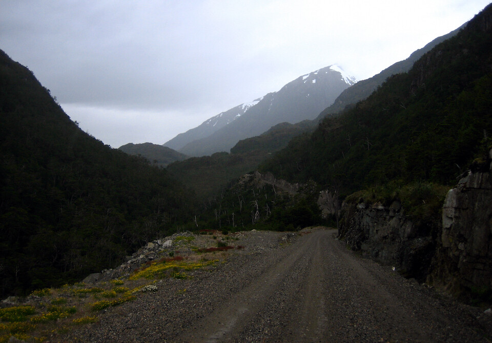
The 20 km (12 mi) stretch from Puerto Yungay to the turn off to Caleta Tortel was quite mountainous.
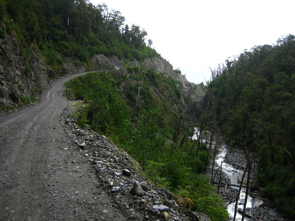
The route went thru narrow canyons and the high humidity with the low temps chilled me to my bones.
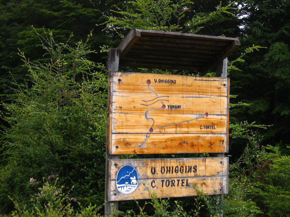
A signboard showing the turn off from the principle route to the small town of Caleta Tortel, about 22 kms (14 mi) away.
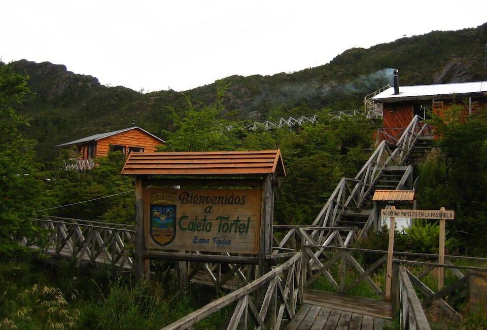
Welcome to Caleta Tortel, a small coastal village near the mouth of Rio Baker.
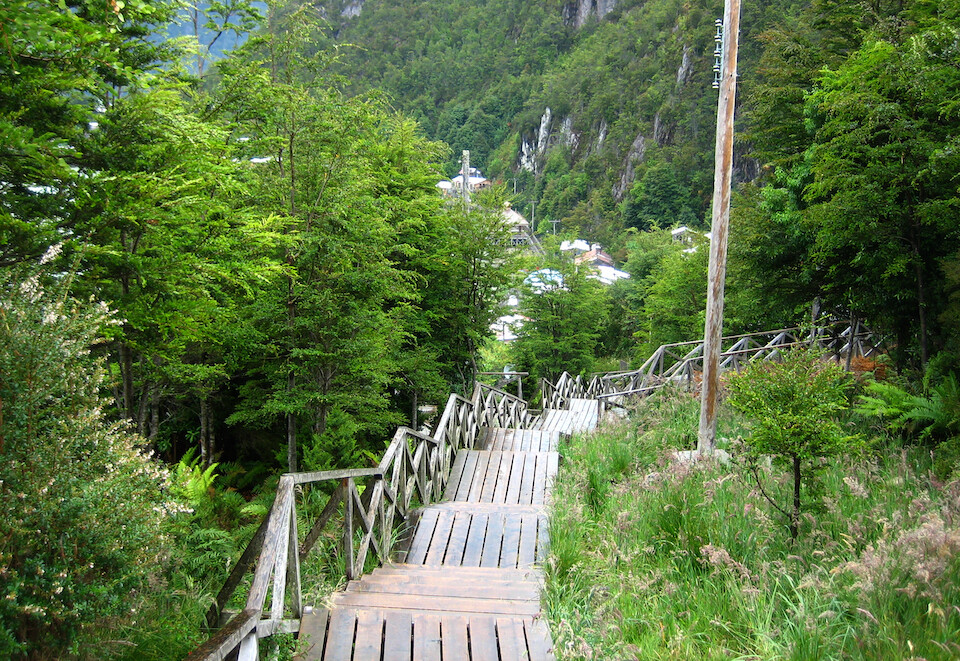
The community was built in 1955 to exploit the Cypress trees, which are abundant in this area.
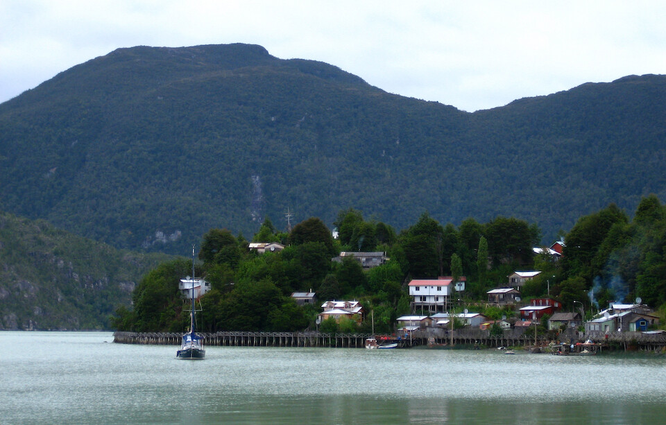
For most of its history, it only had sea and air access and land access via the spur from the Carretera Austral was only built in 2003. The unique look about this village is that all the houses are constructed on stilts and there are no regular streets in the village, only wooden walkways.
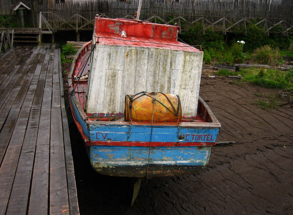
A fishing boat waiting for the tide to come in.
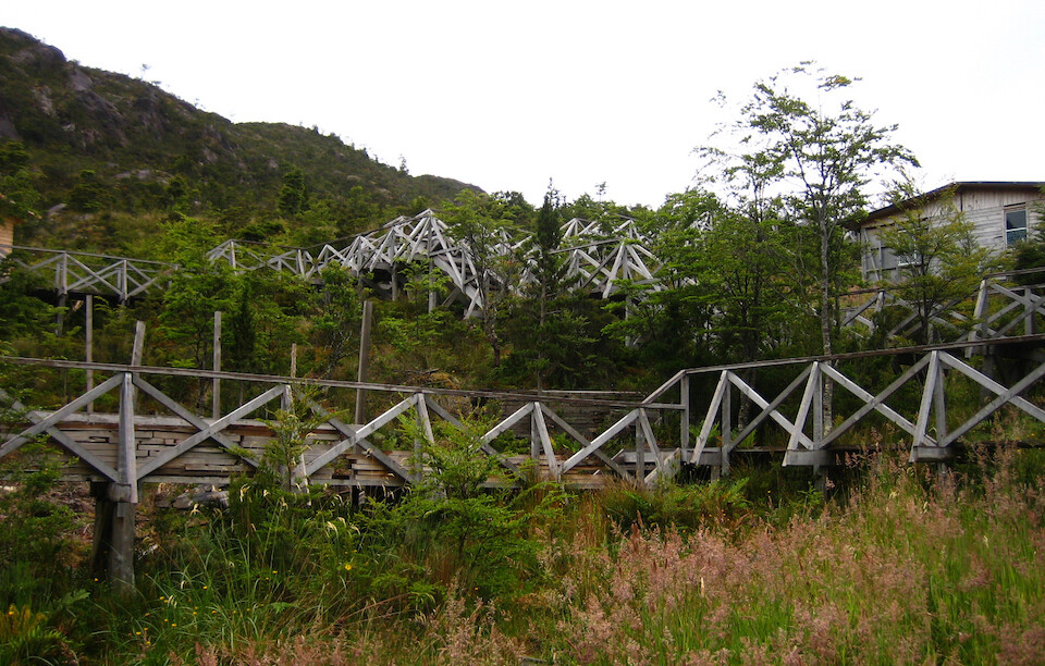
There isn't much flat land here and I guess they went with stilts because the ground must be soft from all the wetness in the area. Also nowadays, it looks eco-friendly as the human construction on stilts has a much smaller footprint on the ground and local vegetation than the usual raze to the ground and pour concrete over the land.
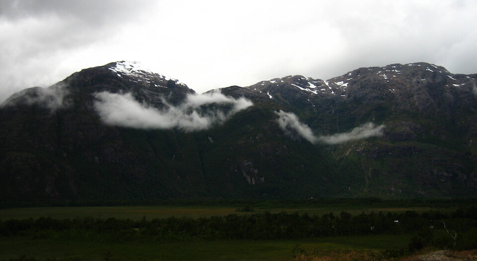
Heading back to the Carretera and the high humidity showing through with these low hanging clouds in the valley.
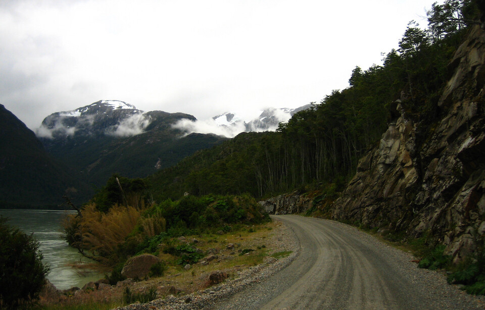
The tagline of being the 'most beautiful road in the world' certainly rings true.
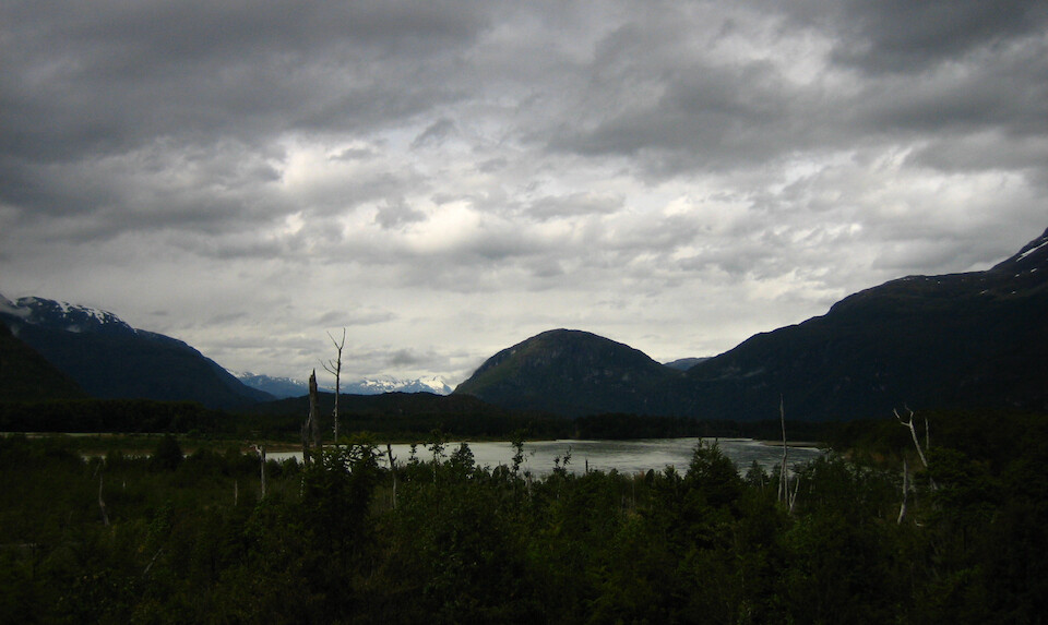
With epic views around almost every corner.
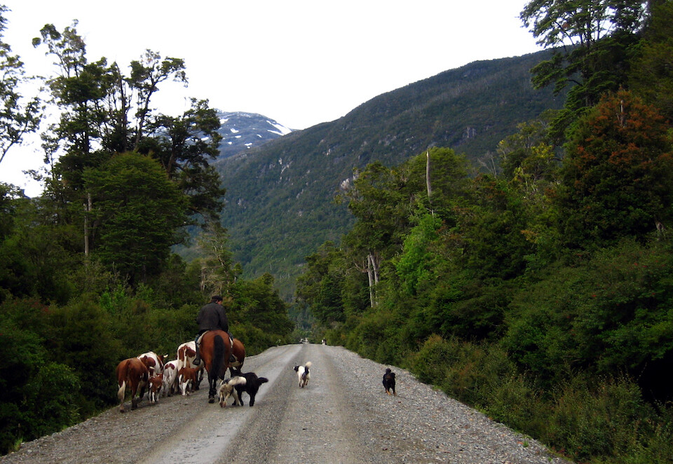
A local cowboy with an equal-sized herd of sheepdogs to keep the bovines in check. These dogs were harmless but nonetheless would come barking and attacking as I rode by. I just pick up my legs and power on through.
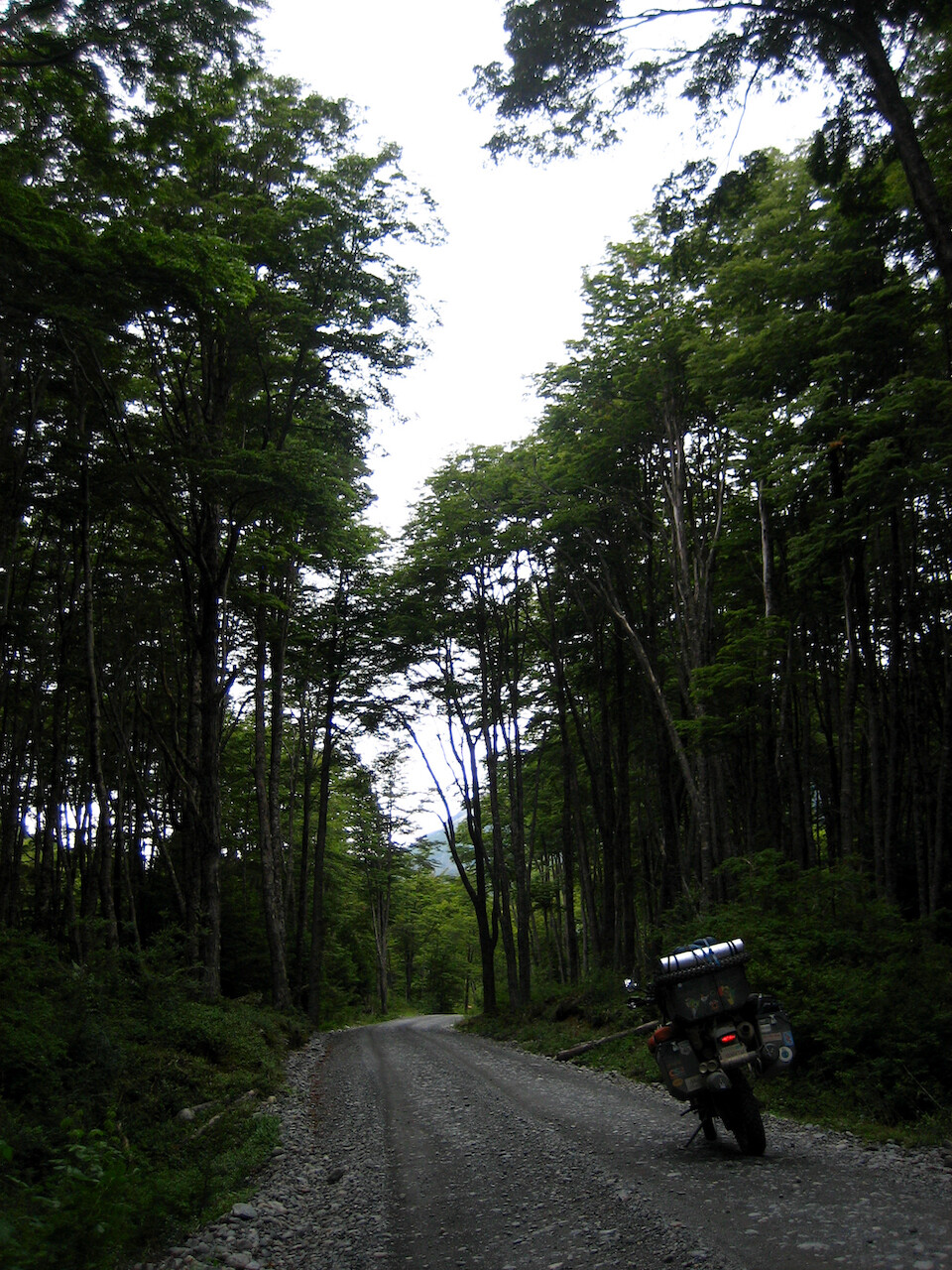
Enjoying the intimate feel of the tall, dense forests.
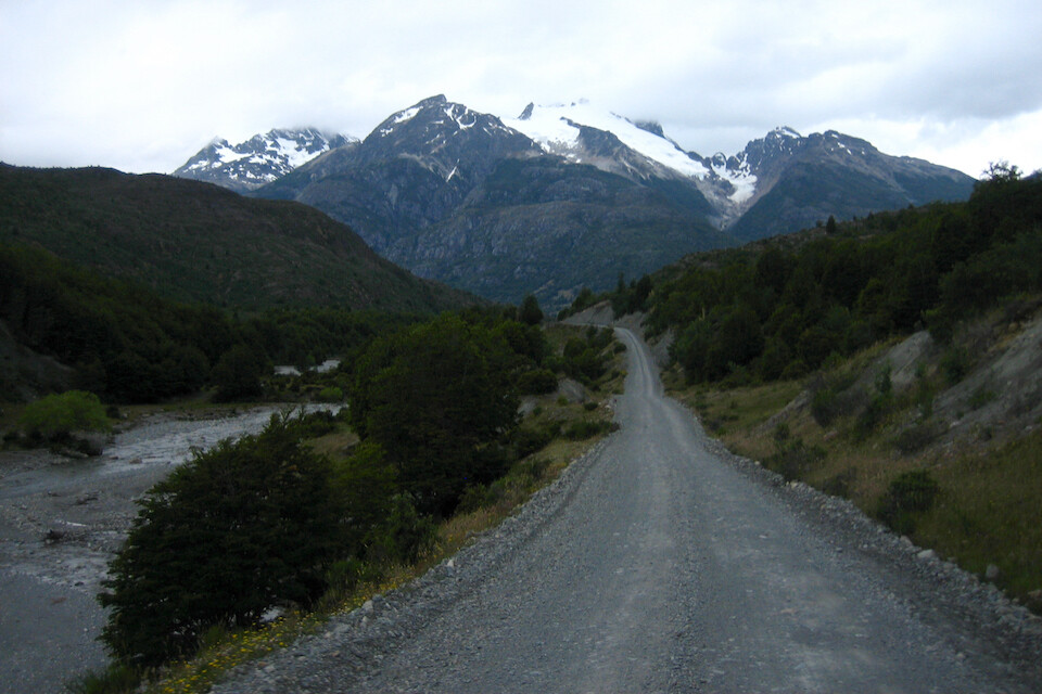
I fueled up in Cochrane, just enough to get me across the border to cheaper fuel in Argentina and headed out to look for a place to camp.
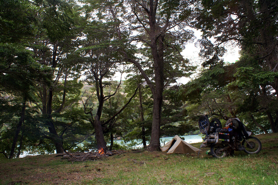
I found a nice spot along Rio Baker with ample firewood lying around, nestled under these tall trees.
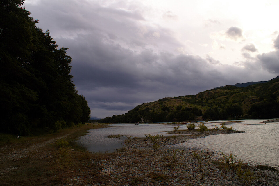
I came along the shore of the river for a bit to find this secluded spot. The camping opportunities in Patagonia are just sublime but be prepared for regular nightly rains on the Chilean side.
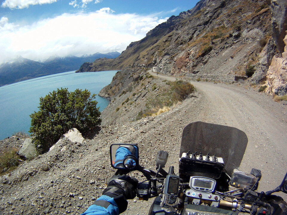
The next morning, I reached the turnoff at El Maitén and headed along the coast of Lago Carrera General to the Argentine border. An impressive ride along 120 kms (75 mi) of stunning coast line.
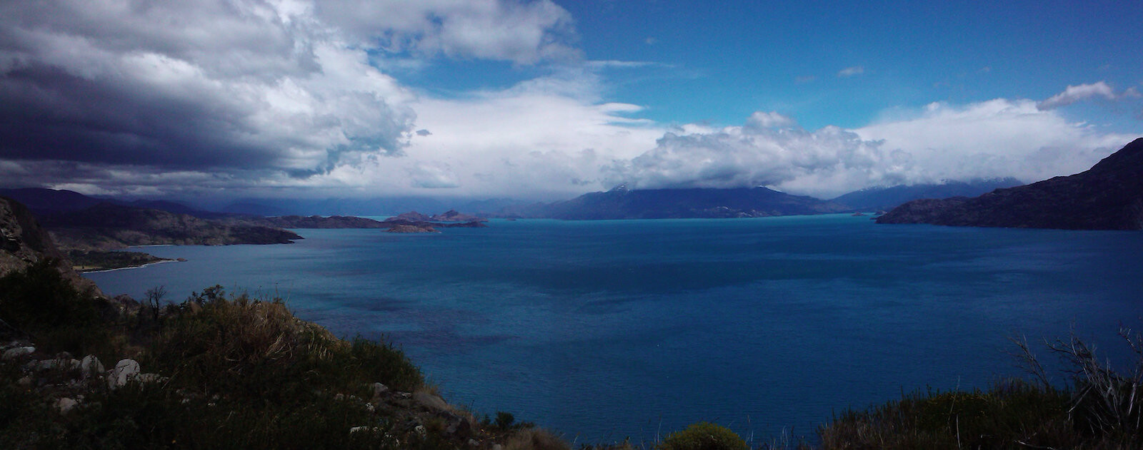
The road climbed high up the lake's rocky shores offering great views of this massive expanse of shiny blue water.
Click here to see the high resolution version.
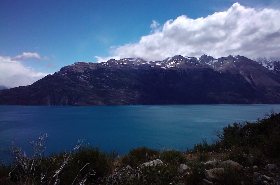
The lake was relatively narrow along this part and the steep snowy peaks appeared very close, adding to the dramatic setting.
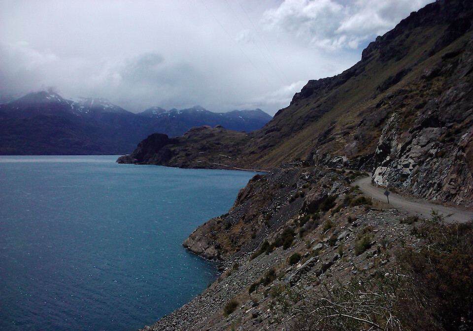
I was looking forward to riding around Lago Carrera General and it certainly impressed. The road is exciting as it twists and turns along the jagged coast line and then the views are stunning of the turquoise waters with a backdrop of snow-peaked mountains.
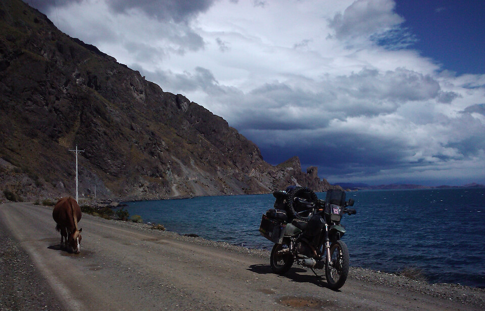
A natural horse with my mechanical horse, same difference. As the road dropped down to the water I noticed this lone horse who felt abandoned. He was drinking water from the rain puddles and I felt like telling him about the fresh, sweat-tasting expanse of water just a few feet over.
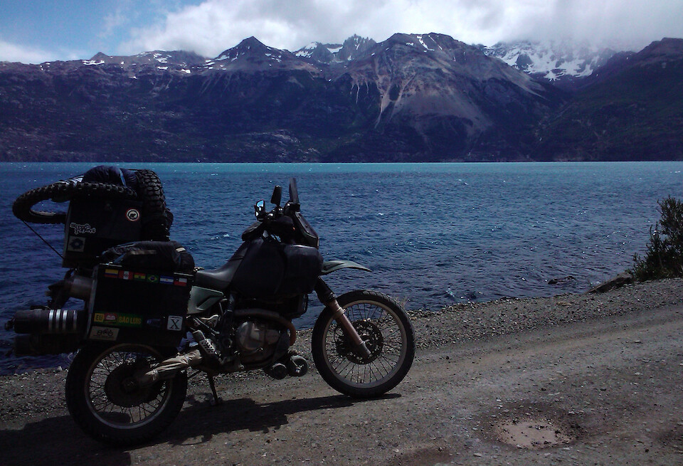
sanDRina was running like a champ and the road was in good condition, allowing for higher speeds and greater distraction by the scenery.
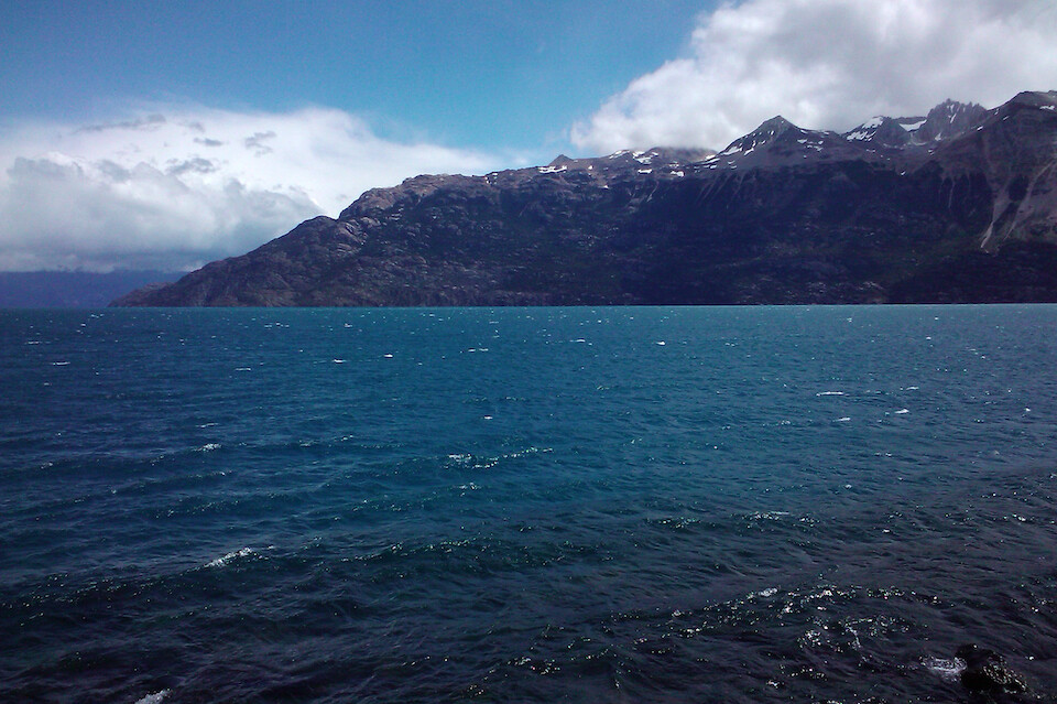
The clear, turquoise waters of the Carrera General. When our problems with global water scarcity become more prevalent in the coming decades, this place is going to become the new Middle East.
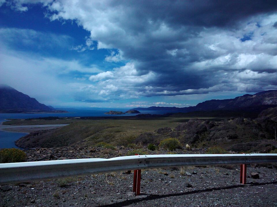
The lake spills over the border and the half in Argentina is known at Lago Buenos Aires. The border is defined by a change in the climate and terrain and the steep mountains along the lake's coast abruptly end as it leaves Chile for Argentina. Chile Chico is the last town in Chile and it's neighbor across the border is Los Antiguos, where I camped for the night after filling up with cheaper Argentine petrol.
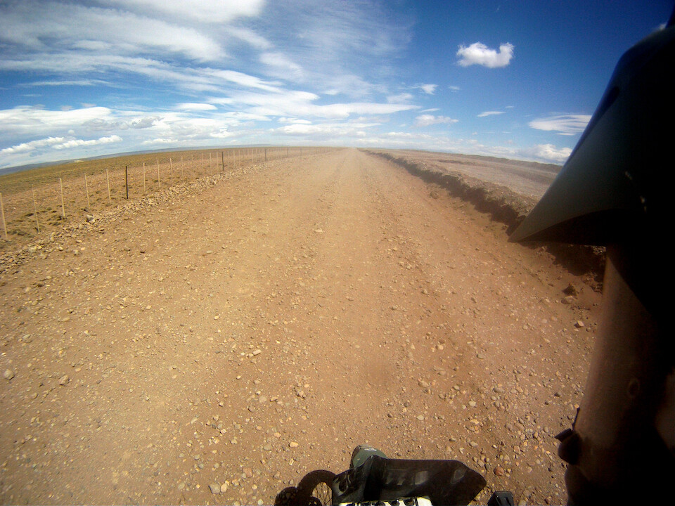
Back on the Ruta 40, heading south. The road is paved from Los Antiguous to the town of Perito Moreno where it meets the 40. The town is not to be confused with the famous glacier of the same name, which is much further south near El Calafate. The 40 is under going major construction and looks like they'll have it all paved within a few years. So, get down here soon if you want to enjoy some of the wild-ness before it's tamed. But it's hardly wilderness, since the whole of Patagonia is fenced off by ranchers. The one companion along the 40 is the constant fences on either side, revealing the history of this land when big estancias (ranches) were established in the early days.
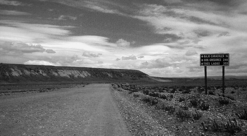
From Perito Moreno, Ruta 40 is very remote and there are no petrol services en route for 460 kms (286 mi) till Tres Lagos. One could side-track to Gobernador Gregores, which is about 70 kms (43 mi) off the route, but I had no worries with the 800 km (500 mi) range of my Aqualine Safari tank.
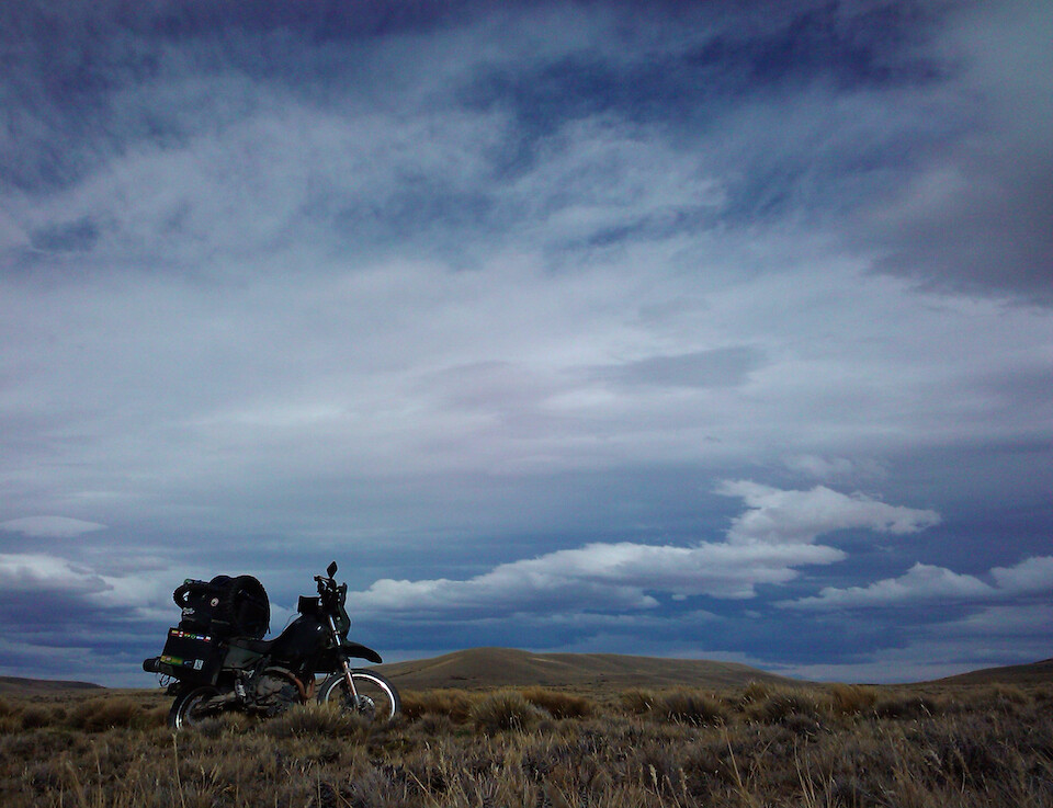
sanDRina in the big sky land of the Argentine Patagonia.
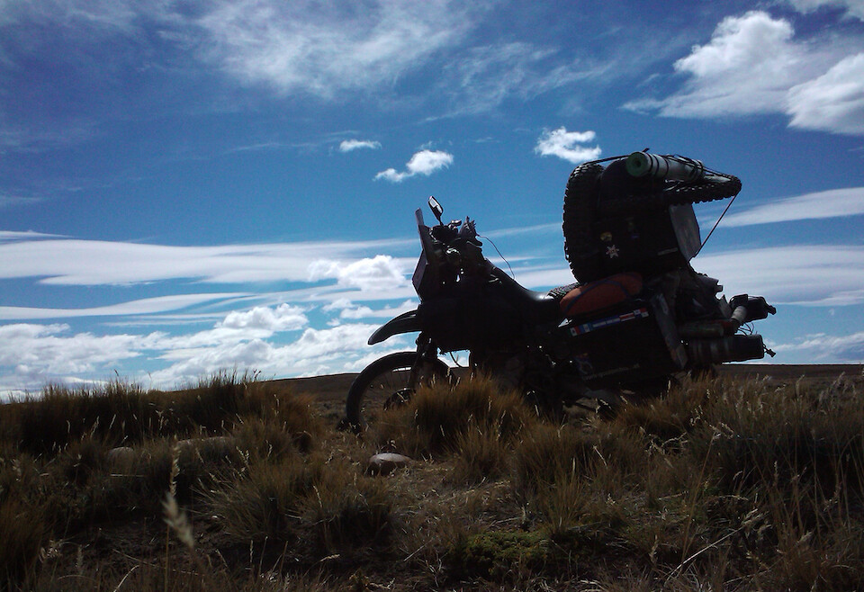
This is where the winds are very pronounced, constantly blowing and keeping a check on the height of the flora, ensuring nothing more than a shrub could thrive here.
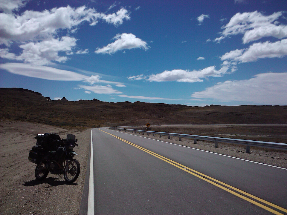
Small stretches of the newly paved sections of the 40.
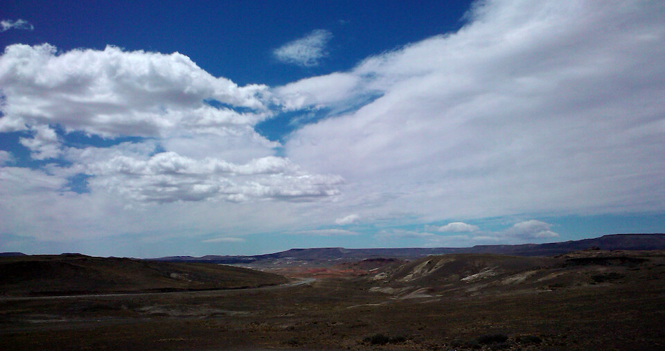
The scenery is not that exciting, but the massive expanse of land with hardly any relief is enough to be enthralled by the landscape.
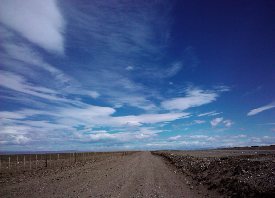
The road surface is hard with loose gravel but since there are so few turns in this remote section of the flat Argentine Patagonia, I could ride at much higher speeds than I usually did. Previously, my top speeds on gravel roads was no more than 60 kph (37 mph), but I think riding the Lagunas Route in Bolivia upped my confidence and I was easily cruising at 100 kph (62 mph) along the 40. With the correct air pressure in the tires, the bike doesn't squirm as much and just motors along.
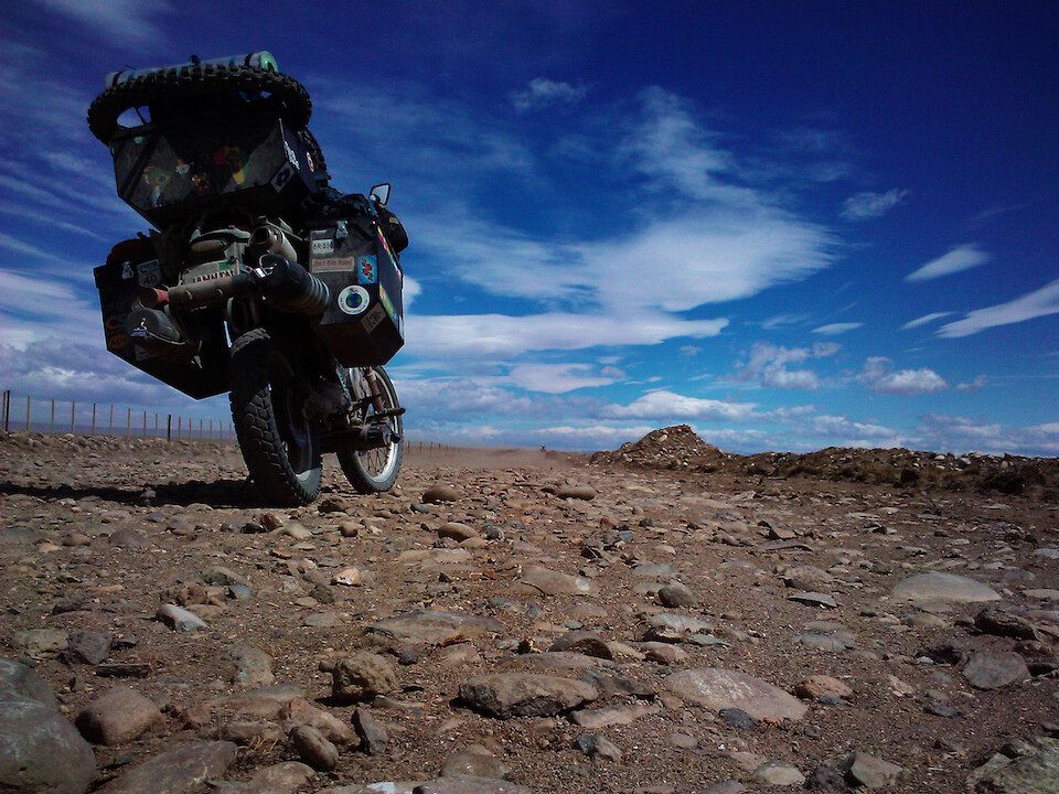
Ruta 40 Rocks! The current 40 runs parallel to the new 40 that is being paved and the route constantly crosses the new road and alternates which side it's running on. In some places, the detour was quite rough with big rocks showing through, but most of the old 40 is still a pleasant ride.
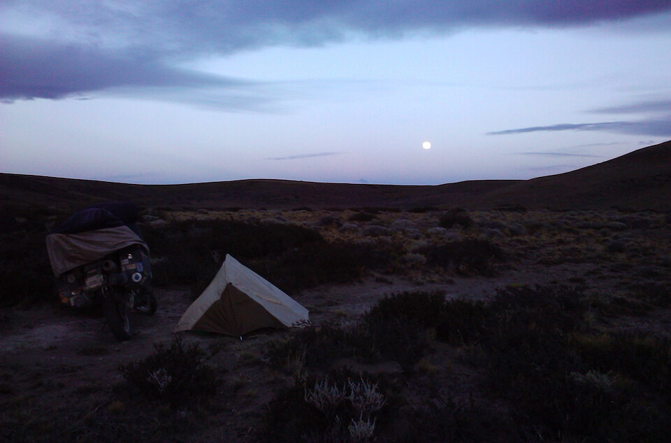
I was making good time and knew I would need another day to get to Tres Lagos, so I explored a road leading away from the 40 up to an estancia and found a nice place to camp in the middle of Patagonia. There are no other plants around but I figured these small shrubs would offer at least some kind of protection from the wind, which was a non-stop howler.
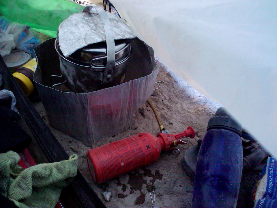
This was the roughest camping experience to date due to the fine talc texture of the sand and the constant wind, which made everything dusty and my Catoma Twist not being a sealed tent showed its weakness here as fine dust was blowing up inside the tent. I quickly setup camp, which is a strength of the Twist and dived inside to shelter from the wind. I was forced to setup my stove under the tight confines of the tent's vestibule and made sure to protect the nylon tent's wall from the heat of the stove with the aluminum guards.
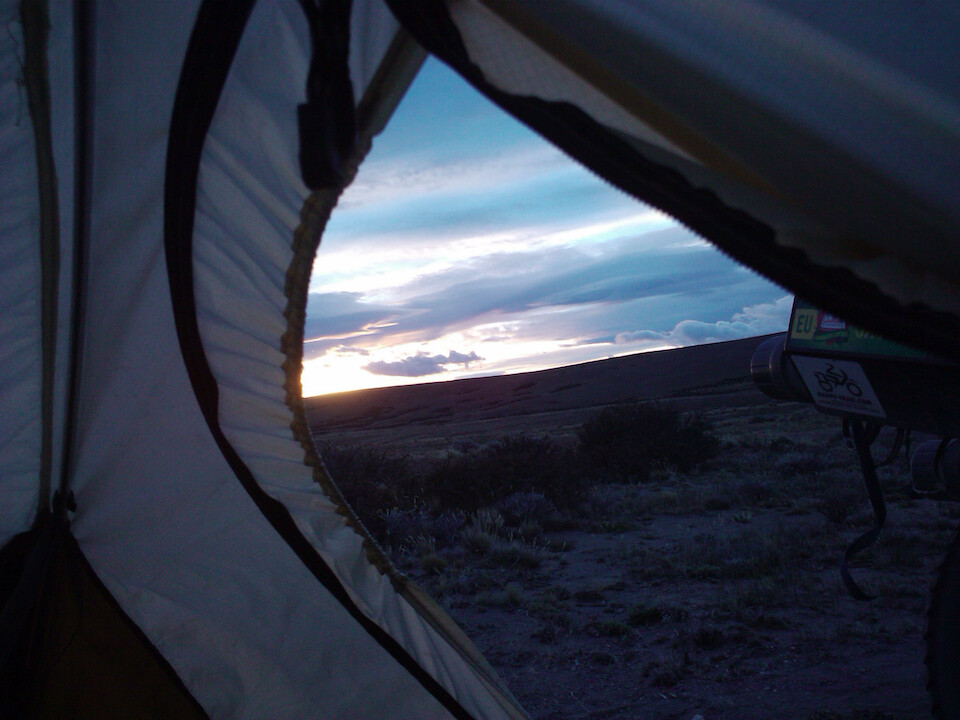
I slept well but woke up to see that my sleeping bag was covered in a fine layer of dust. However, who cares, because I knew I was in a special place, in the middle of nowhere Patagonia and woke up not to miss sunrise in this magical land.
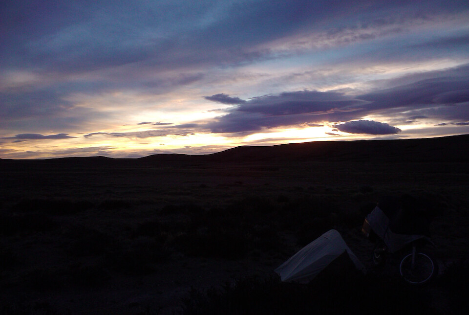
The Earth, slowly spinning on its axis in space and constantly revealing the Sun's rays in one place and diminishing it at the other end of the planet. What a realization it must have been for the first human to understand that it's the Earth that spins around the Sun and not the other way around. Knowing these basic truths leads to a much richer life experience and the never-ending pursuit of deeper truths of nature.
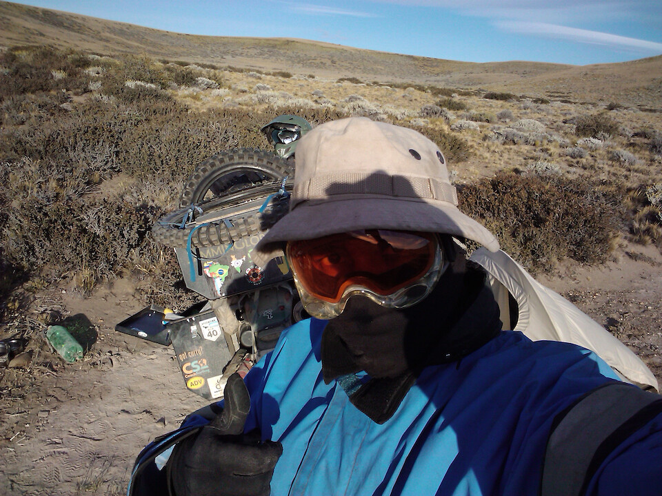
It was bitingly cold and I covered up every bit of exposed skin before going about the routine of breaking down camp and packing up sanDRina. I'm wearing my fleece beanie under my hat and my rain jacket to provide maximum protection from the cold winds. Oakley goggles doing a good job to seal against the dust.
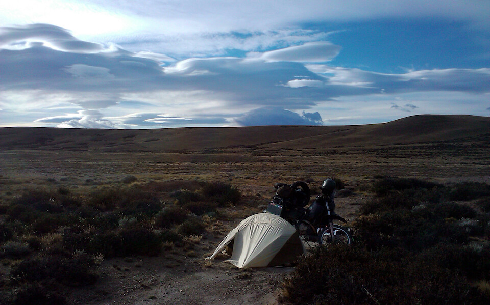
A memorable experience of wild camping in Patagonia.
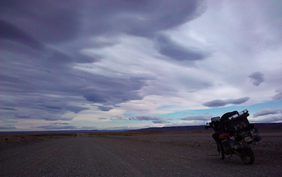
Back on the 40 and eating up the big distances with ease. With the road hardly turning, it gave me time to gaze up at the wind-swept clouds of Patagonia.
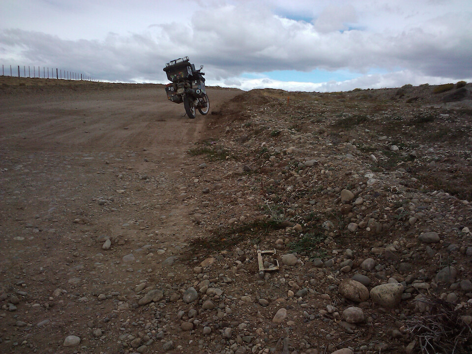
My faster speed on the gravel caught up with me and one of my tool tubes under the bike had cracked and I realized later that I had spilled some very important tools along the 40. This was the thin-walled welding rod holder tube that held my TyrePliers bead breaker (pictured in the foreground), along with my tire irons and bike krutch. It was the longest tube that I could find to house these large tools, but the thin walls were no match for the rocks being kicked up from the 40. I had to backtrack around 35 kms (22 mi) until I found my tools spilled along the road. The other thicker-walled tool tubes that I have from Devon at Mega Tool Tube have been no problem, so far. I wrote to him and he said he would make me a thick-walled long tool tube to house these tire tools.
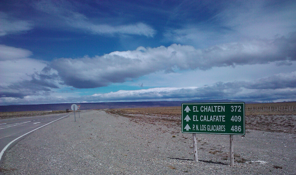
I was heading to El Calafate to see the famous glacier, but wanted to swing by El Chaltén first.
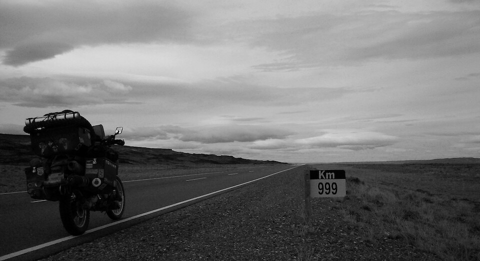
Less than a thousand kilometers to Tierra del Fuego, but I would be side-tracking into Chile once more for Torres del Paine.
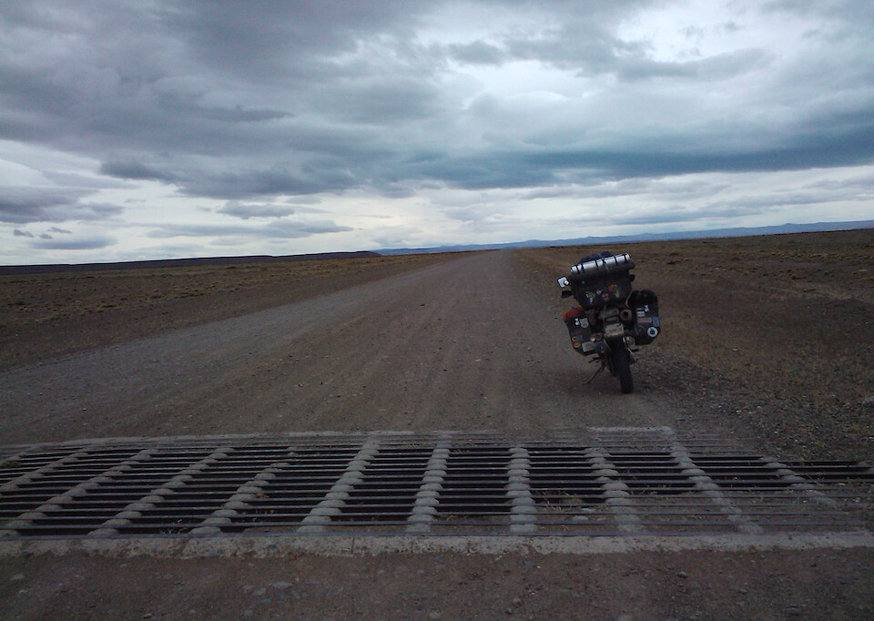
Where a fence runs across the road, it flattens down into a cattle guard and it's not advisable to cross them at full speed since some of the guards have big dents in them that could damage the wheel rim.
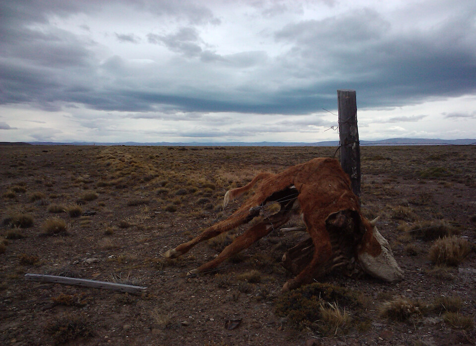
An unlucky calf trying to jump the fence and paying the price. I guess Patagonia could be the ideal pasture land with nothing but shrubs growing but due to the low precipitation, I would think regrowth could be adversely affected by overgrazing. Plus, the grazers would have to quite tough to brave the constant winds and the persistent chill in the air.
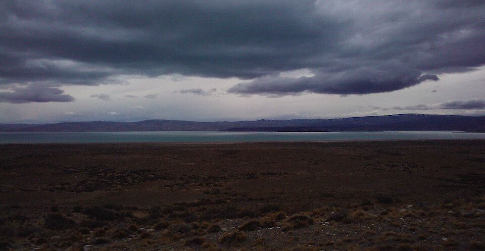
After hundreds of kilometers of nothing but barren steppes, seeing this turquoise lake near Tres Lagos was a strange and welcome sight.
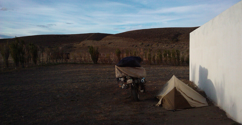
I camped next to the only gas station in Tres Lagos and was advised to setup next to this wall to hide from the wind. I also managed to throw some water over my body at the station's bathroom, since my last shower in Villa O'Higgins, but I would have to wait till I reached El Calafate tomorrow for my first shower in five days. With the cooler temps, you don't notice your body odour and besides, there are more important things like surviving through the night, than smelling nice. All the water I camped next to was freezing cold and not inviting enough to take a dip.
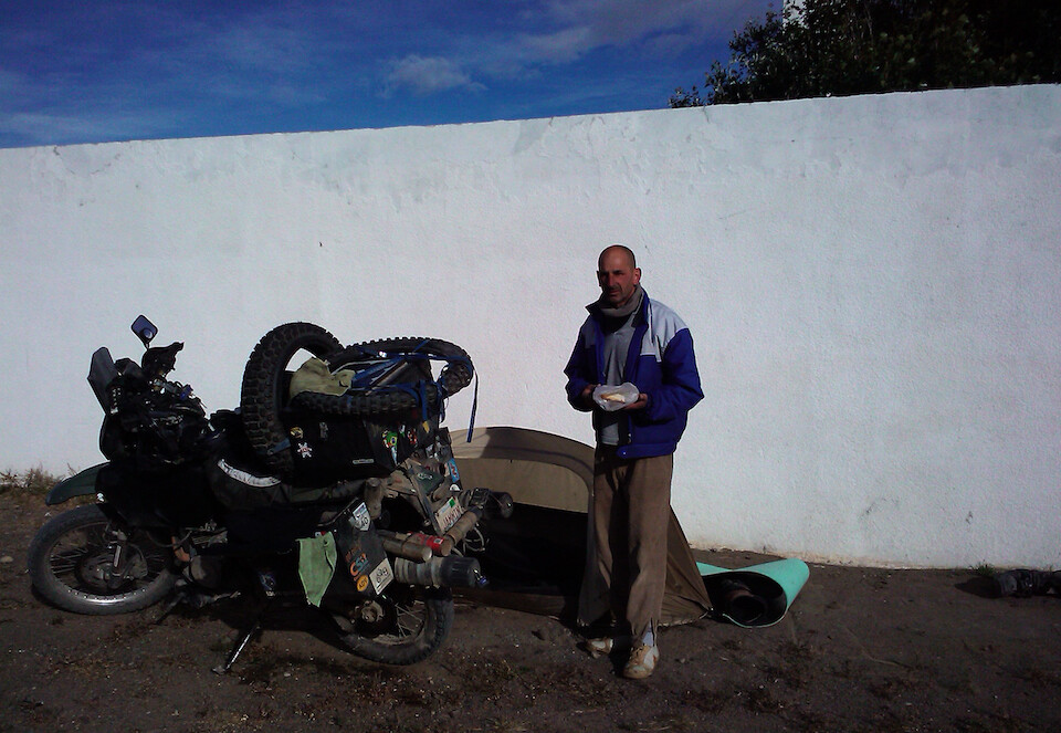
I asked the station owner and his wife if they had any food in their convenience store. I was looking for something to add to my usual fare of pasta and beef liver pate, like a can of peas or beans, but they didn't have any. However, the owner came by later and gave me a big milanesa (breaded steak) sandwich and I was truly grateful. And then again in the morning, he came over with some bread and cheese. I was touched by the kind heart of these Argentines.
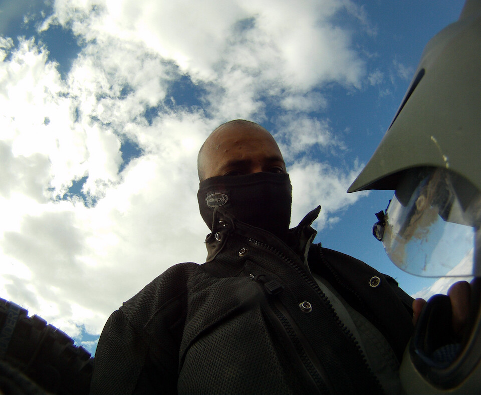
Suiting up for another chilly day in Patagonia, which isn't so bad if you have enough layers and the right kind of protection from the wind.
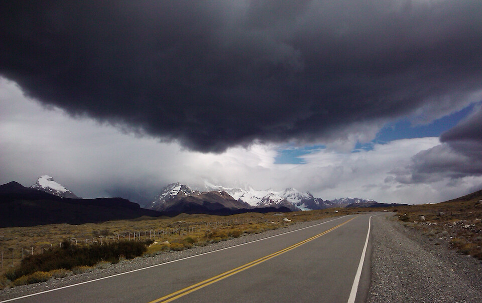
The road is paved from Tres Lagos south, at least till Rio Turbio (turn off to Puerto Natales). This is the 90 km (56 mi) one-way route into El Chaltén.
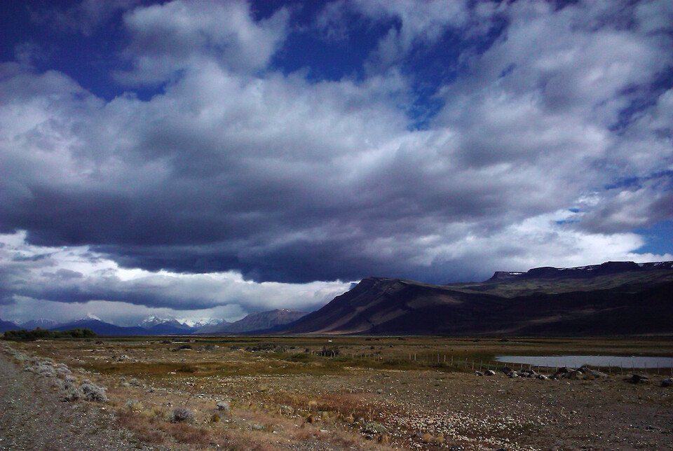
The views along the way were beautiful and I was hoping for clear weather in El Chaltén.
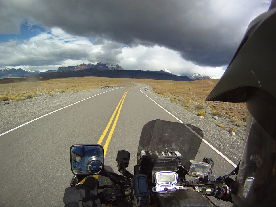
Getting closer to the chills of the snow peaks of the Andes.
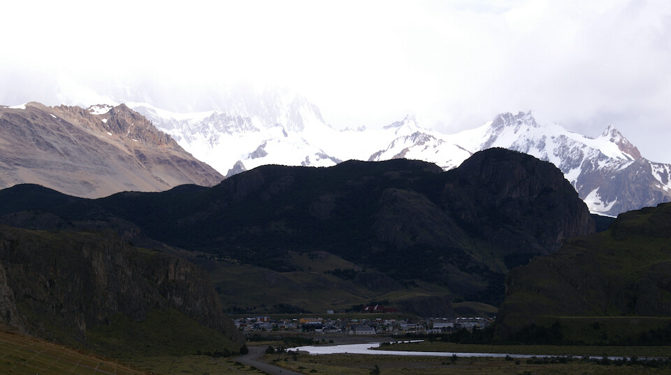
And voila, the small touristy town of El Chaltén under the famous towering Fitz Roy Mountains, which were sadly covered under clouds. A clear view of the peaks is a rare experience due to the micro climate that the tall mountains create. This hamlet is a hiking base and was packed to the brim with foreign tourists, ranging from bus loads of backpackers to herds of European motorcycle tour groups. I took a picture and turned around. From Villa O'Higgins, which is not that far as the crow flies from here, the overland route by foot comes in to the north of town.
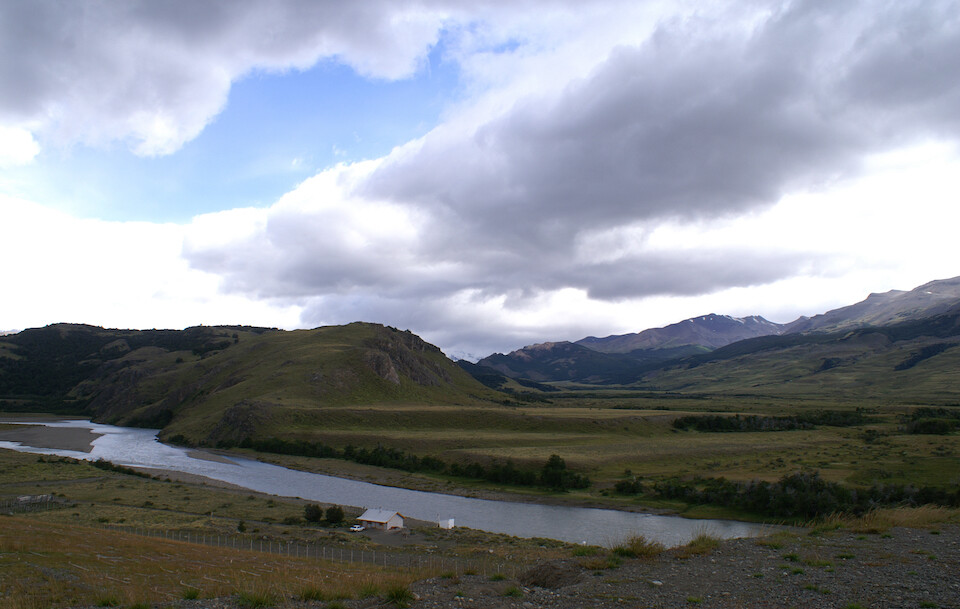
A picturesque valley and I would've liked to spend more time here, but the commercialization of a place turns me off.
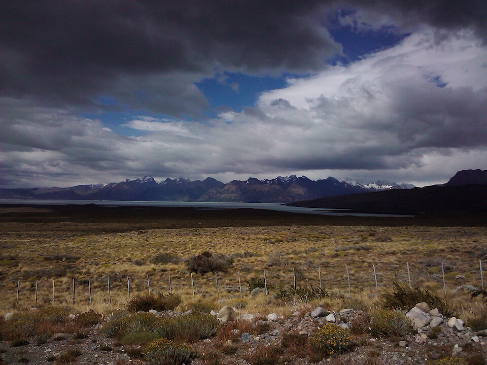
Heading back to the 40 along Lago Viedma with the Perito Moreno Glacier just across those mountains.
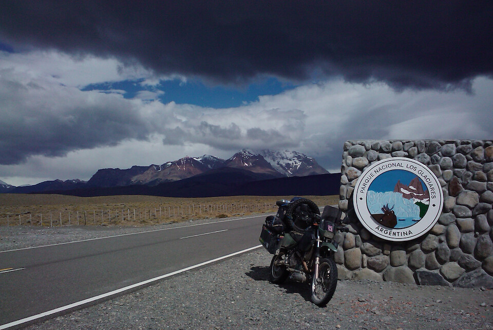
This whole area from El Chaltén down to El Calafate is part of the Parque Nacional Los Glaciares to protect the numerous ice rivers flowing down from the Southern Patagonian Ice Field. There was no entrance fee to the park from the road.
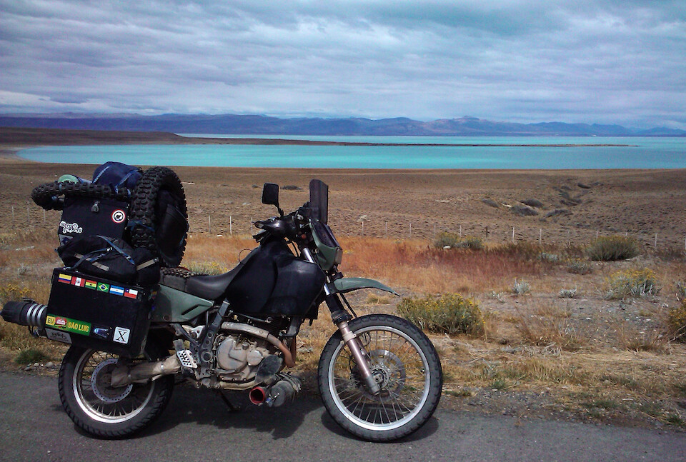
sanDRina posing with the turquoise waters of Lago Viedma, which is colored like so due to the minerals held in suspension that are eroded down by the glaciers. You can see the broken cap of the red tool tube, which spilled the tools along the 40.
The four days to loop around from Villa O'Higgins to El Calafate was a wonderful experience, especially as the contrasts of the two side of Patagonia were quite evident. The lush, green side of the Chilean Patagonia striking against the dry, wind-swept steppes of the Argentine side.
Next: Patagonia, Part 5: Perito Moreno Glacier and Torres del Paine
Previous: Patagonia, Part 3: Carretera Austral | Lago Carrera General to Villa O'Higgins