
Bolivia II, Part 6: The Lagunas Route | Laguna Honda to Laguna Colorado
— Bolivia, Lagunas Route — 5 min read
December 22 - 23, 2010
Continuing the Lagunas Route through southwest Bolivia from Laguna Hedionda through the Arbol de Piedra to Laguna Colorado.
A few kilometers south of Cañapa is Laguna Hedionda, another endorheic salty lagoon with its own colony of flamingoes. It soon becomes apparent why this desert route is called the Lagunas Route.
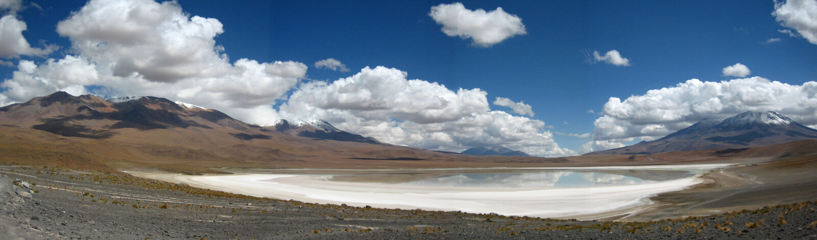
Click here to see the high resolution version.
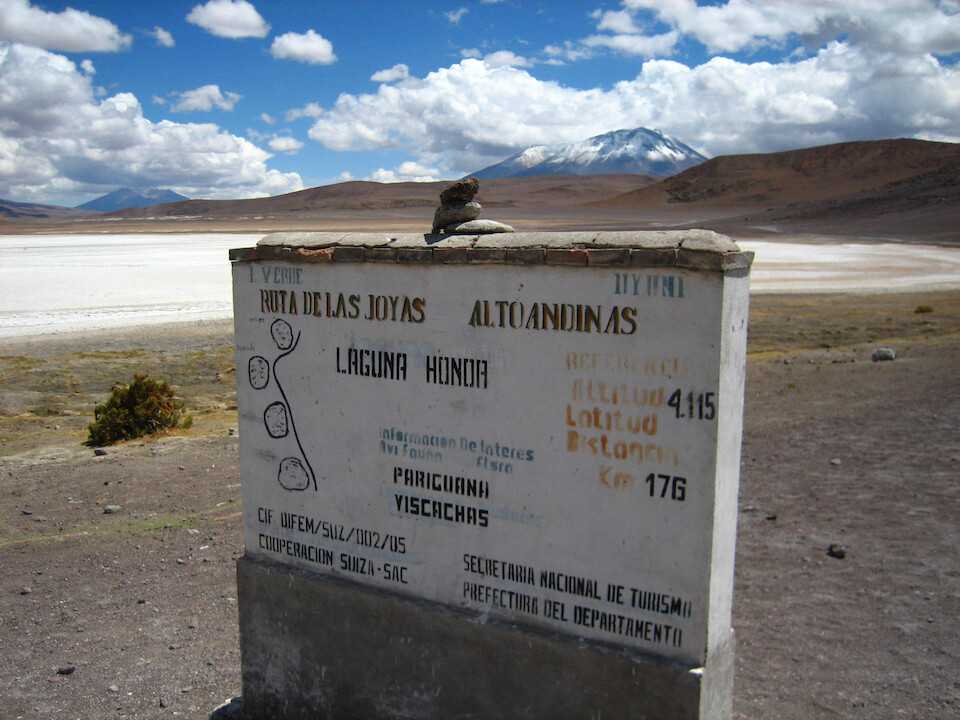
An info board at the next lagoon down, Laguna Honda with the official name of this route: Ruta de la Joyas Alto Andinas (Route of the Jewels in the High Andes), but in the overlander's community, it's simply referred to as the Lagunas Route.
Laguna Honda, collecting and concentrating the salts as they wash down from the surrounding volcanoes. The white around the edges is the salt of potassium chloride, which feeds the algae and in turn the flamingoes.
Click here to see the high resolution version.
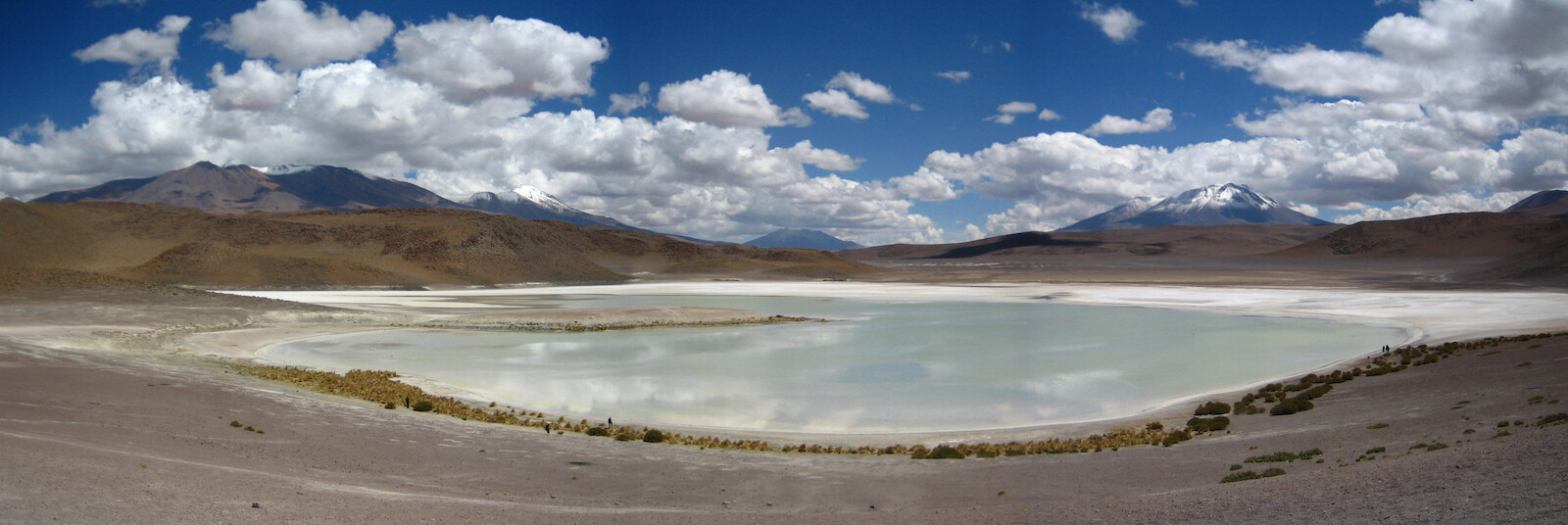
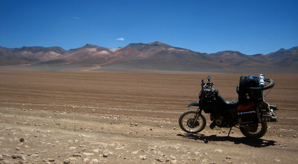
After that series of lagoons, it's a sandy desert till Laguna Colorado, about 80 kms (50 mi) away.
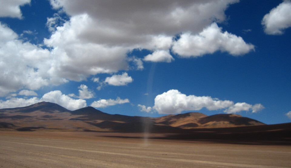
The winds are constant as evident in this dust funnel.
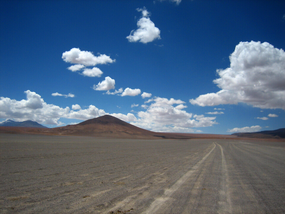
Besides the few volcanic peaks in the distance, the landscape is flat, making this big sky country.
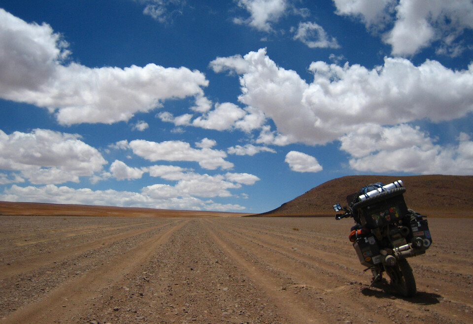
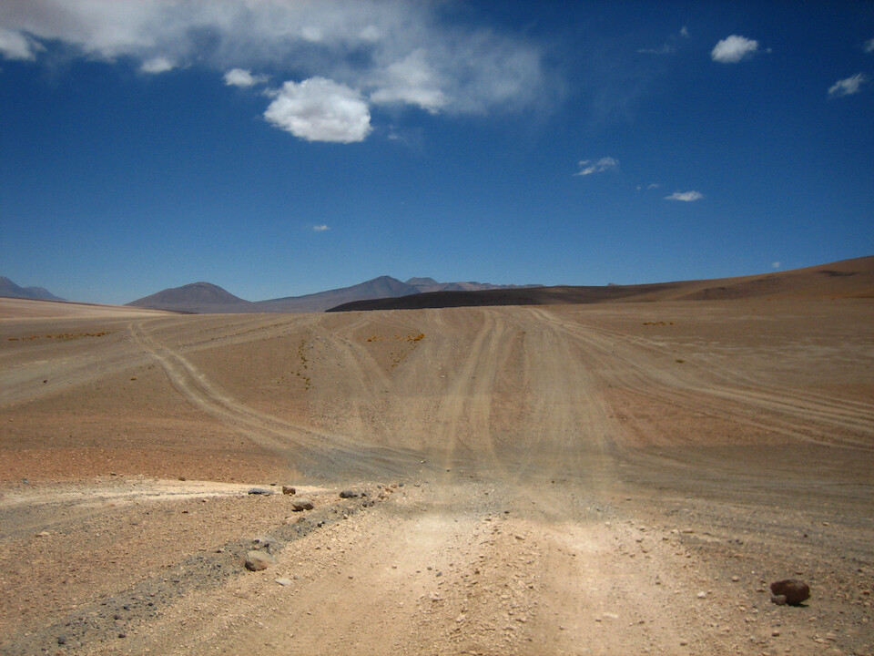
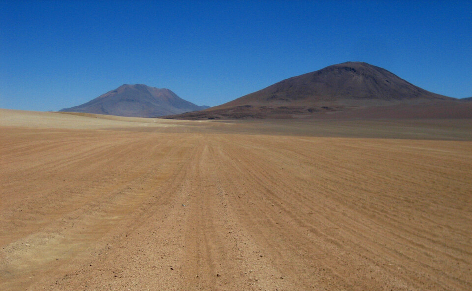
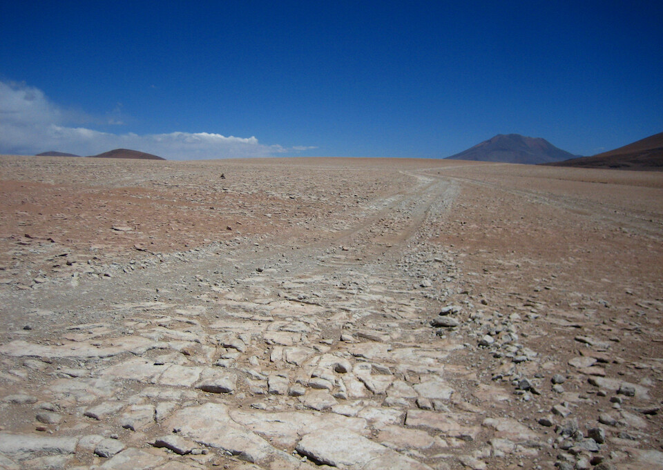
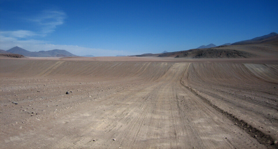
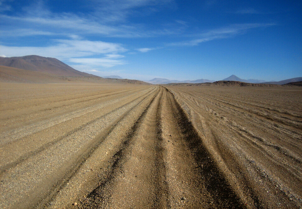
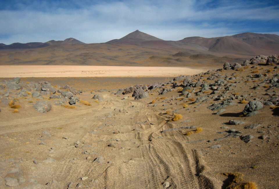
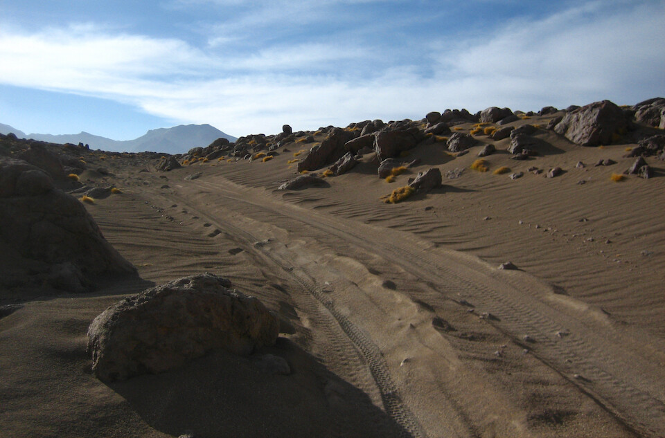
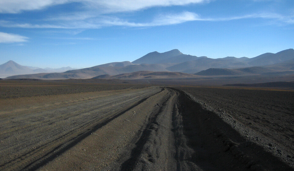
The surface of this whole area is loosely-held rocks of varying sizes, ranging from sand grains to boulders and the tracks follow what appears to be the best option around the landforms.
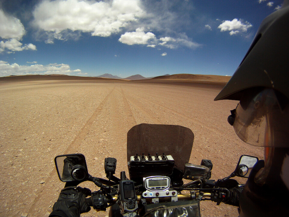
Because I could see landmarks from far away, I got the feeling of being a small perturbation in this giant landscape.
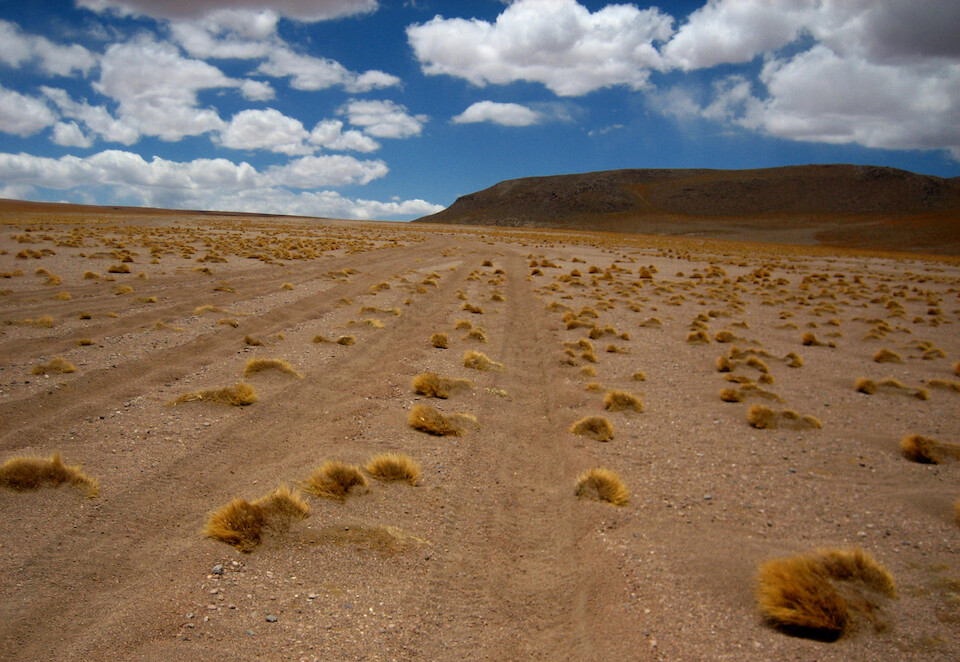
The Land Cruisers make tracks where ever they want and you just pick one that's heading in the general direction.
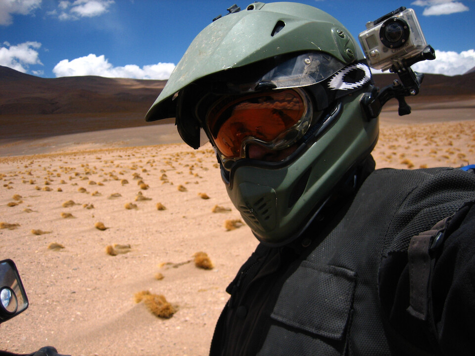
Using Oakley ski goggles with the Arai XD. The orange tint kept the glare out but let in enough contrast to make out the variations in the sandy track.
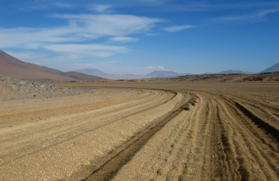
Going around this hillside and slowing gaining elevation.
Looking back at all the sandy tracks that climbed up to...
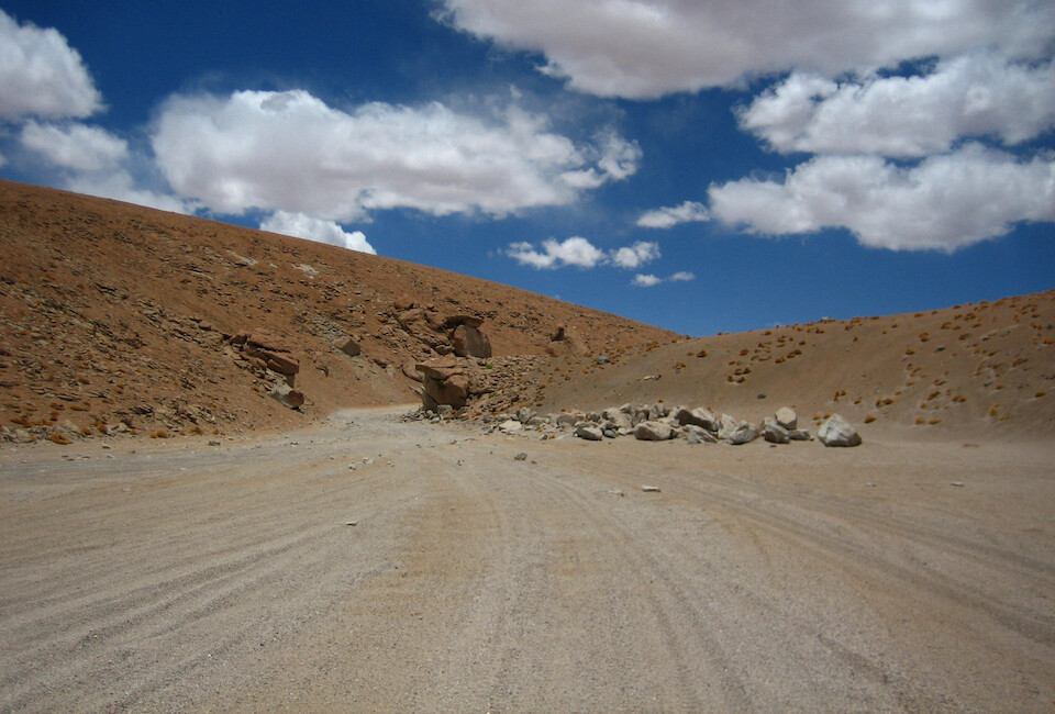
...this narrow mountain pass.
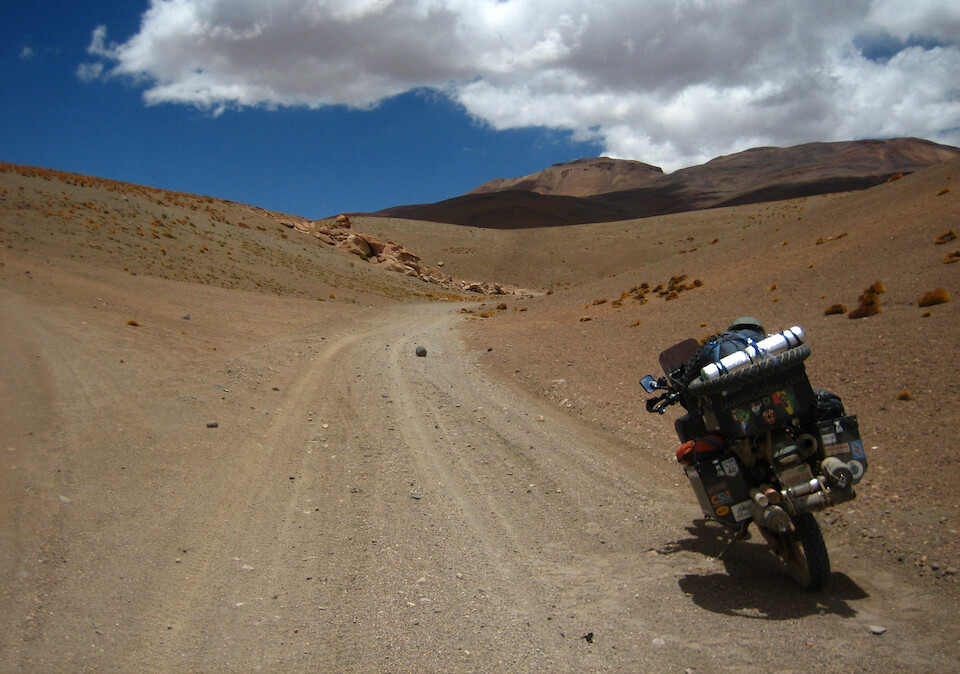
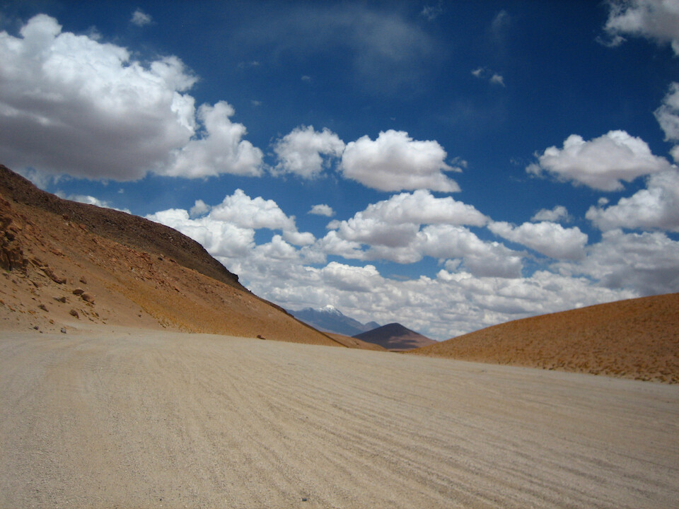
The pass opened up to this canyon and the route kept climbing.
Instead of reaching a summit, it was a high plateau at...
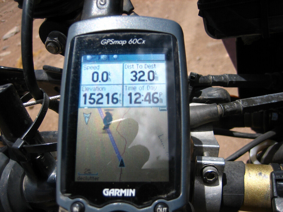
...4,637 m (15,216 ft).
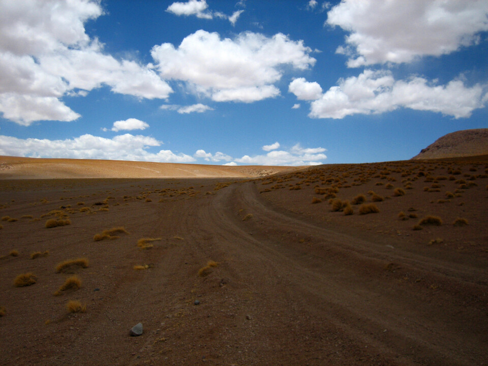
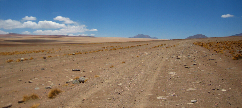
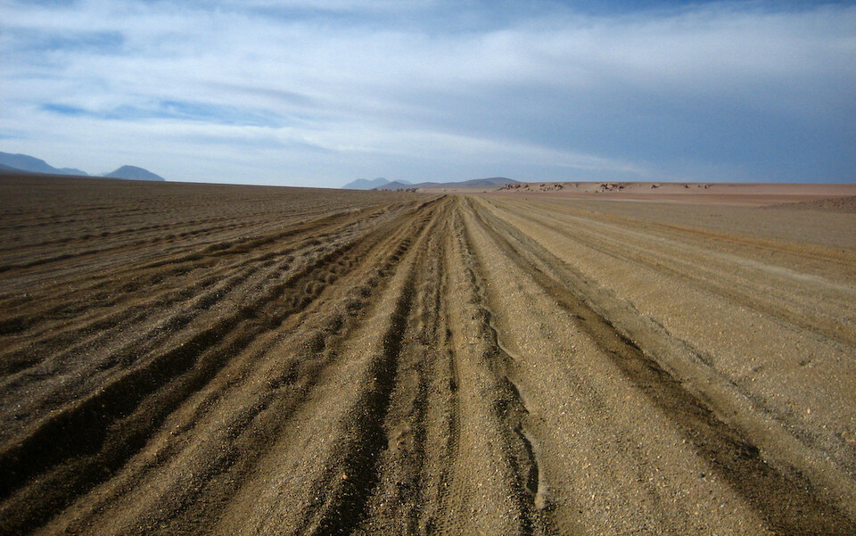
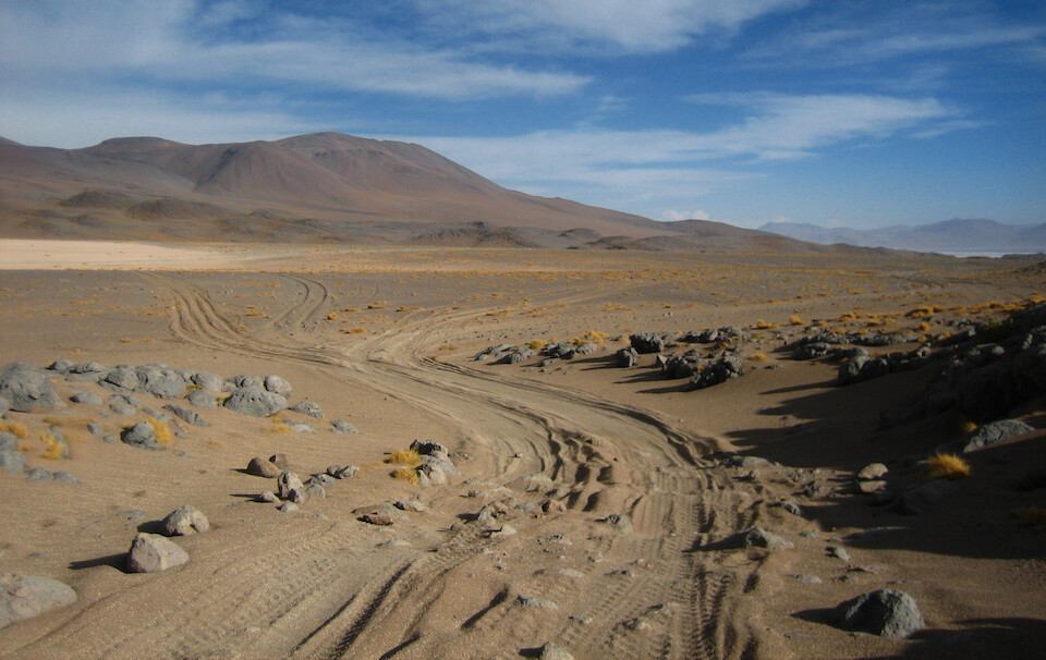
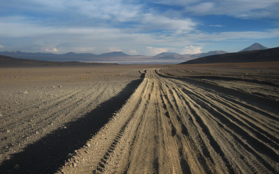
Take your pick of sandy tracks across this small valley.
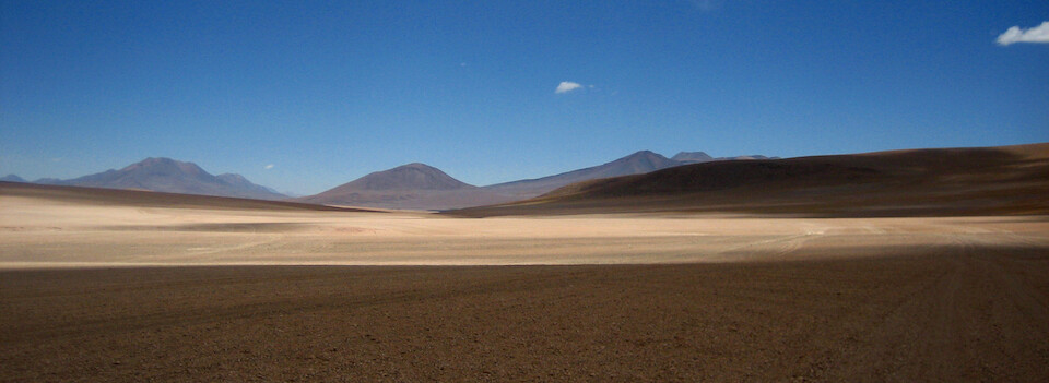
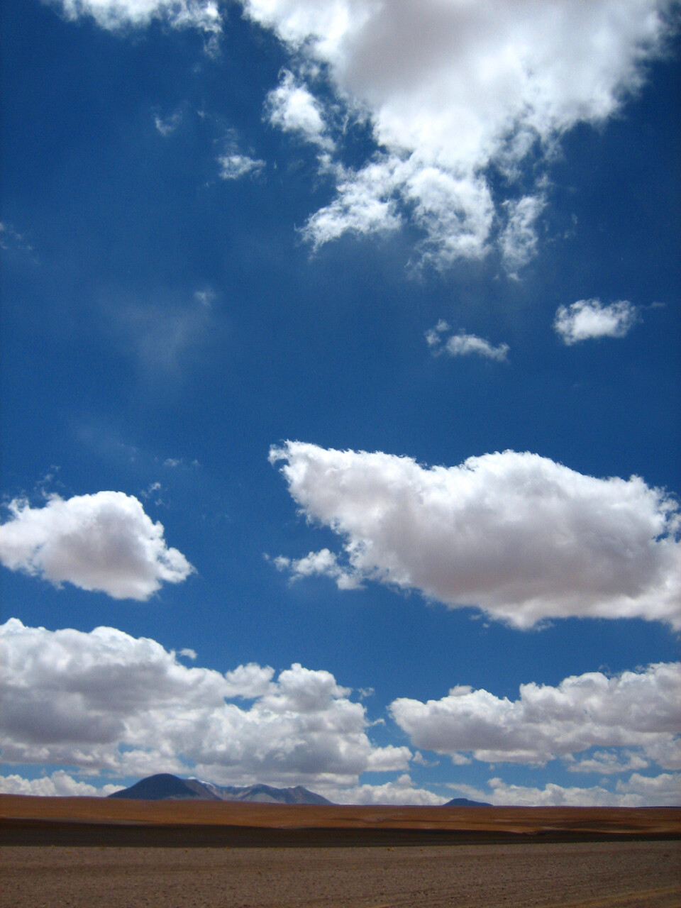
No other colors for hours on end except the browns and reds of the earth and the blue and white of the sky.
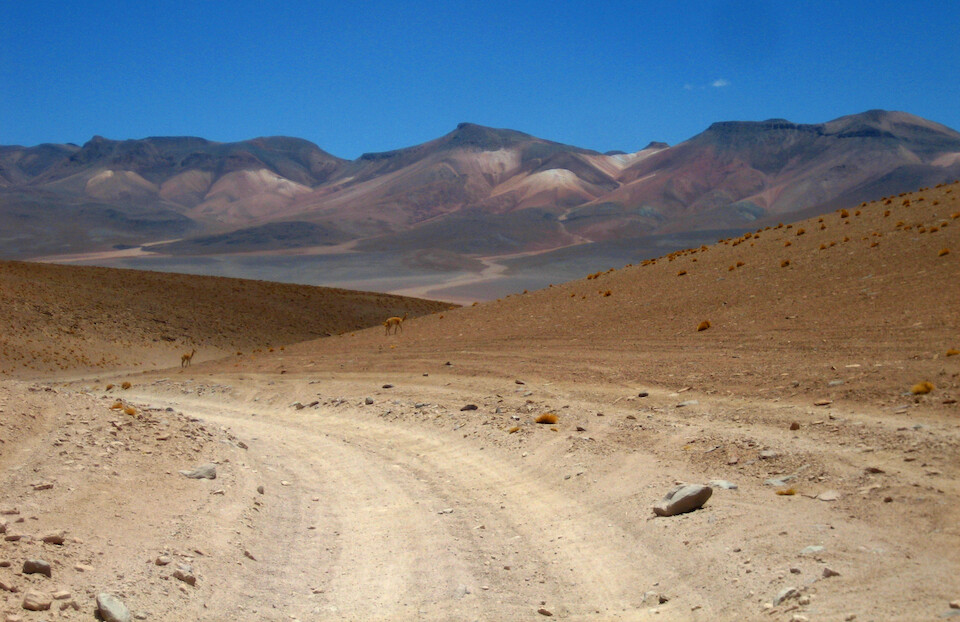
After climbing a bit more to the top of this ridge, the track descended quickly into the valley up ahead. Vicuñas roam this desert. How does such a big wild animal survive up here?
The deep sand was wearing me out and I took frequent breaks to relieve the tension in the shoulders.
Around the corner is some remote lodging at the Tayk Hotel, in the middle of a sea of sand. It's probably part of the lodging network for the Land Cruiser tour groups, as no one else comes this way.
From there, the tracks all head up this huge valley.
If it wasn't for the blue sky, you would think you're on Mars with the red landscape, persistent winds and chilling temperature all adding to the feeling.
Riding on sturdy rocks was a relief from the loose sand everywhere else.
The temps are cold, but the sun is beating down strong.
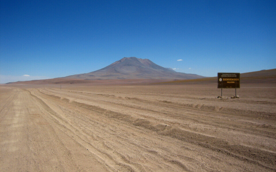
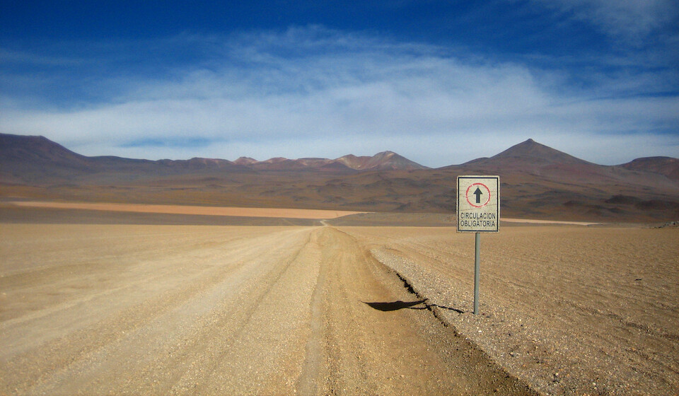
In what really feels like the middle of nowhere, there's a welcome sign to the Reserva Nacional de Fauna Andina Eduardo Avaroa.
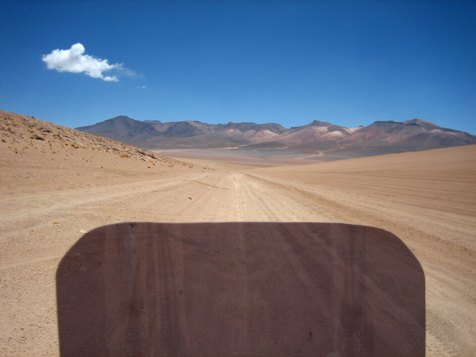
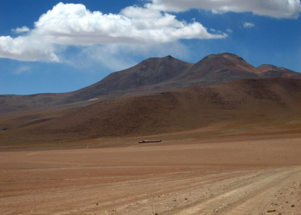
The route was actually graded in many places within the national reserve. The Arbol de Piedra is near the cone-shaped volcano on the left with Laguna Colorado to the right of it.
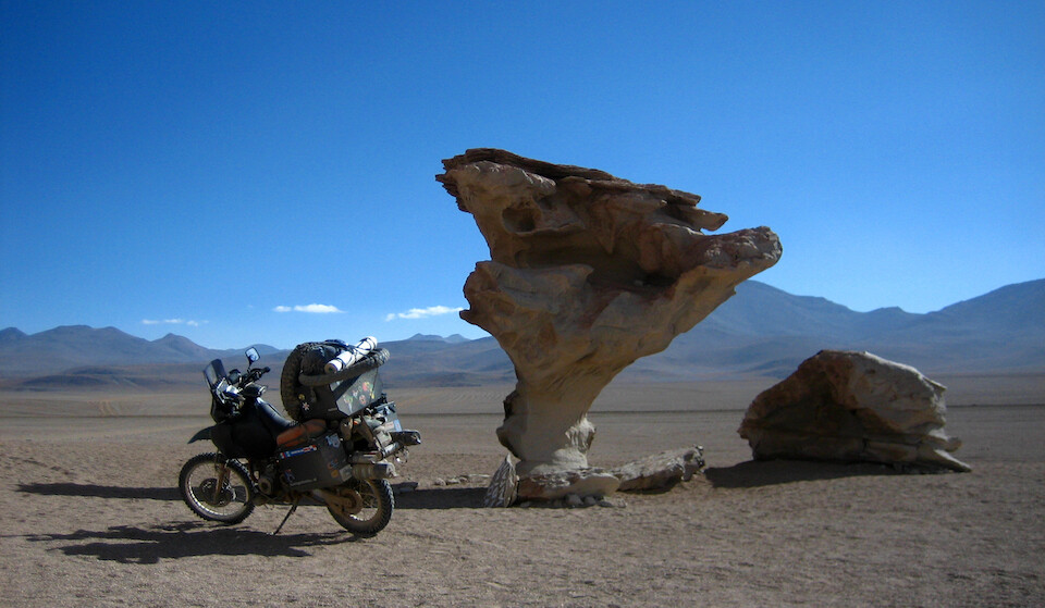
The Arbol de Piedra, a famous tree-shaped boulder sculpted by the sand-laden winds that are constantly blowing in this area.
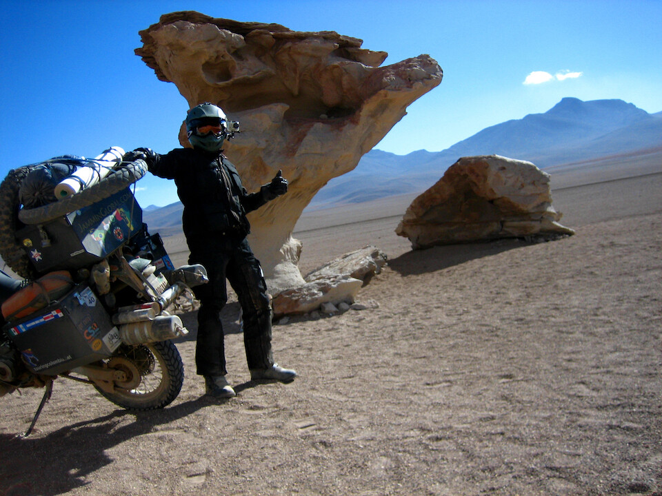
It's an inhospitable place to hang around with fierce winds blowing and picking up the loose sand and pelting them against everything in their path. But, surprisingly, there were two park employees taking cover behind that stone in the background and they offered to take my picture.
From the Arbol de Peidra, it's only 15 kms (9 mi) to Laguna Colorado.
However, it's covered in the deepest sand of the whole route. I know the theory of what it takes to ride sand - lots of speed to get the tires up and surfing across the sand. But, the equally strong, but less glamorous brother of speed is braking with a high chance of dropping the bike if the rider is inexperienced in such conditions. And I told myself I would not drop the bike on this route, so I resorted to slowly plowing my way through the sand with feet down, providing support. It's not ideal, but gets the job done.
It took me 2 1/2 hours to do these 15 kms and I think 10 minutes just to negotiate this turn.
The first traffic sign since Uyuni requesting all traffic to head straight and make a right at the orange sand up ahead.
Just to spite the sign-makers, I took the diagonal short-cut. It was either deep sand and washboard or deep sand and rocks.
It probably wasn't any faster, but at least the rocks added some variety to the image of just sand that was by now burned onto my retinas.
The options were either go straight and join the principle route with washboard or continue on the big rocks. Catching a glimpse of Laguna Colorado off to the right, the entity of me and the bike took the shortest route to our destination.
Back on the principle route of deep sand and huge corrugations. The diminishing daylight evident as the sand berms were casting their shadows into the troughs of the corrugations. I tried to improve things by dropping the air pressures even lower to 8 psi in the front and 15 in the back.
The road got better as Laguna Colorado came into sight and it tested my ability and right wrist to keep the throttle steady to ensure a safe arrival.
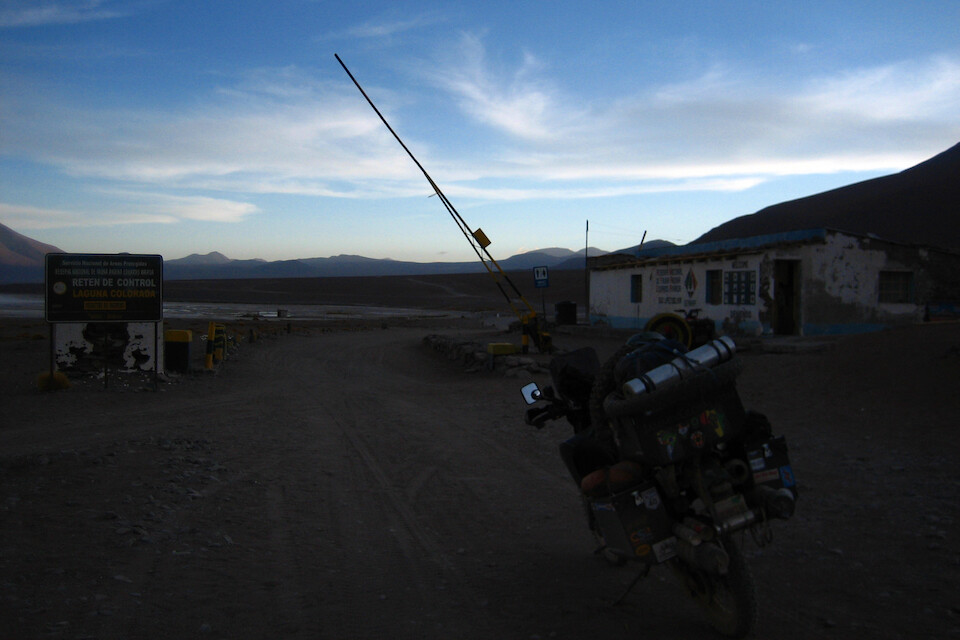
I made it! That was the toughest ride, yet. The route now passed through the gated portion of the national reserve, which runs from Laguna Colorado to Laguna Verde, near the Chilean border to the south and requires an entrance payment of B150 (USD 21).
There are a few buildings here making up Camp Ende, where I found some lodging for B30 and I heard from other riders that you can find petrol here, as well.
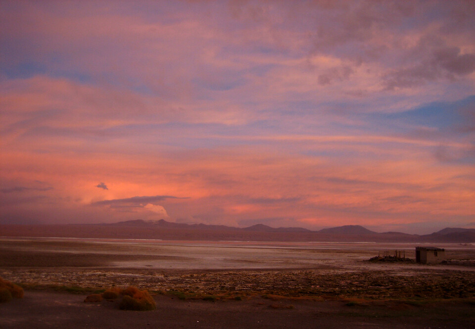
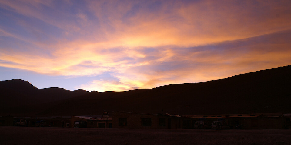
Now, that's a rewarding view after a tough day's ride. Sunset over Laguna Colorado.
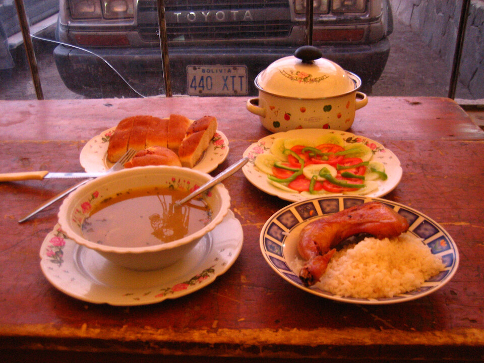
They didn't serve food at this basic hotel, but as I experienced on the ride, so far, some Land Cruiser crews feel sympathetic towards the lone bikers they meet on the Lagunas Route. Perhaps cause they understand how tough the ride is and since they carry their own food, they offered me some left over dinner, which was a feast and a great way to end an epic day.
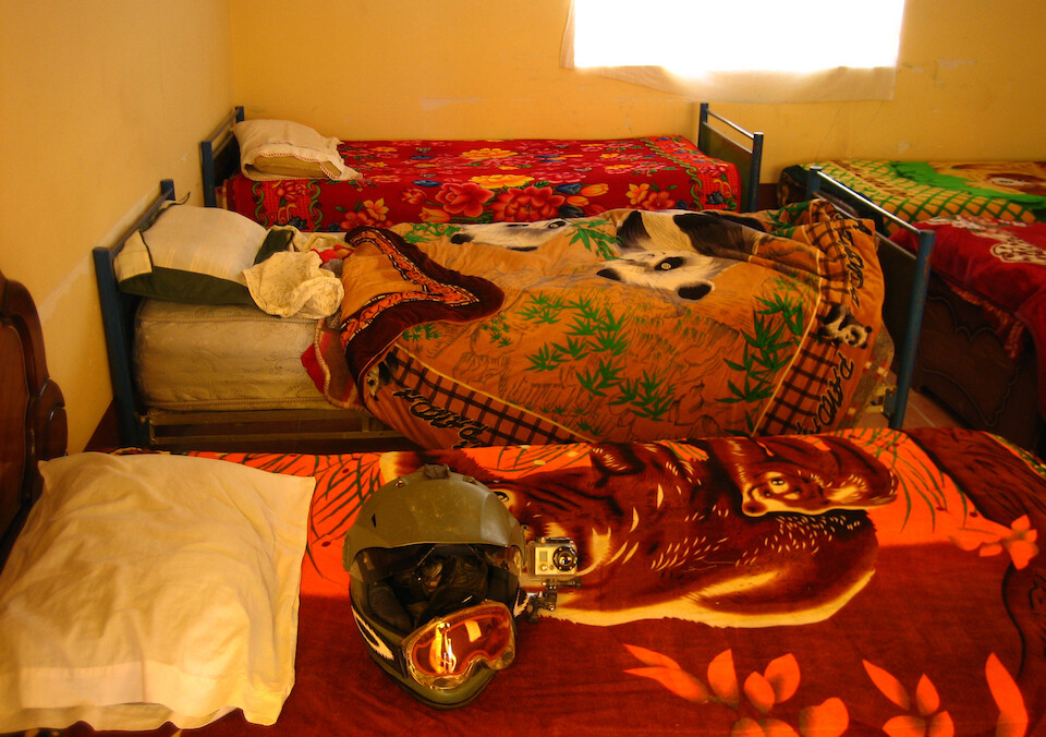
The basic rooms, which were comfortable enough and warm. There were no showers but I splashed some water at the sink.
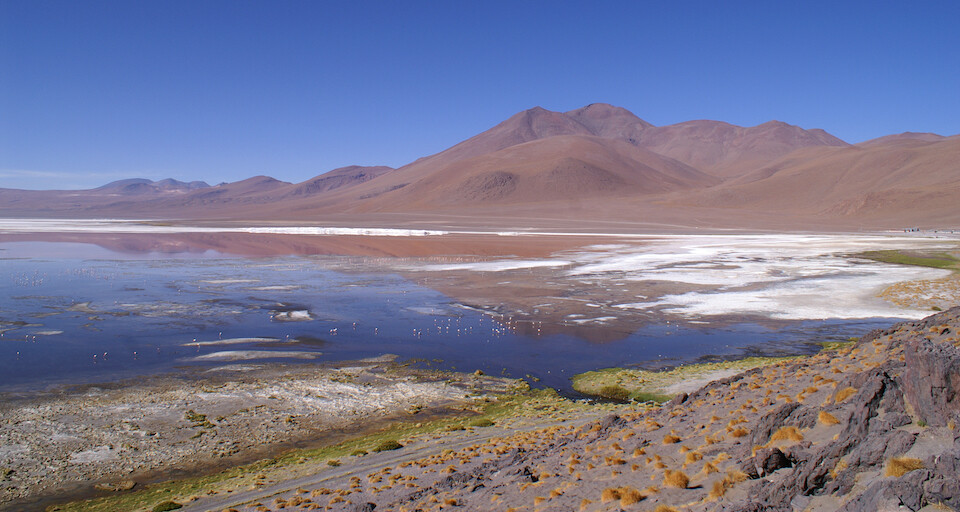
In the morning, I hiked up a small hill to get a view of Laguna Colorado, the largest of the lagoons on the route.
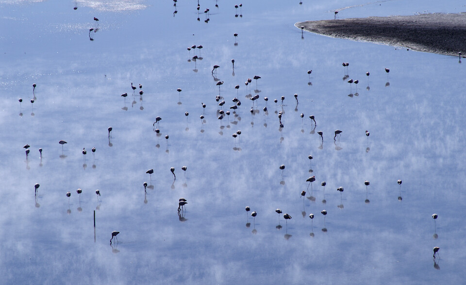
Flamingoes standing around in the shallow lagoon, munching away on algae.
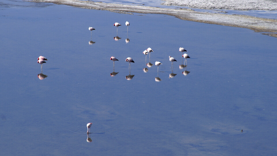
When not busy eating, they stand still. I wonder if they can see their image in the mirror of the lake's surface?
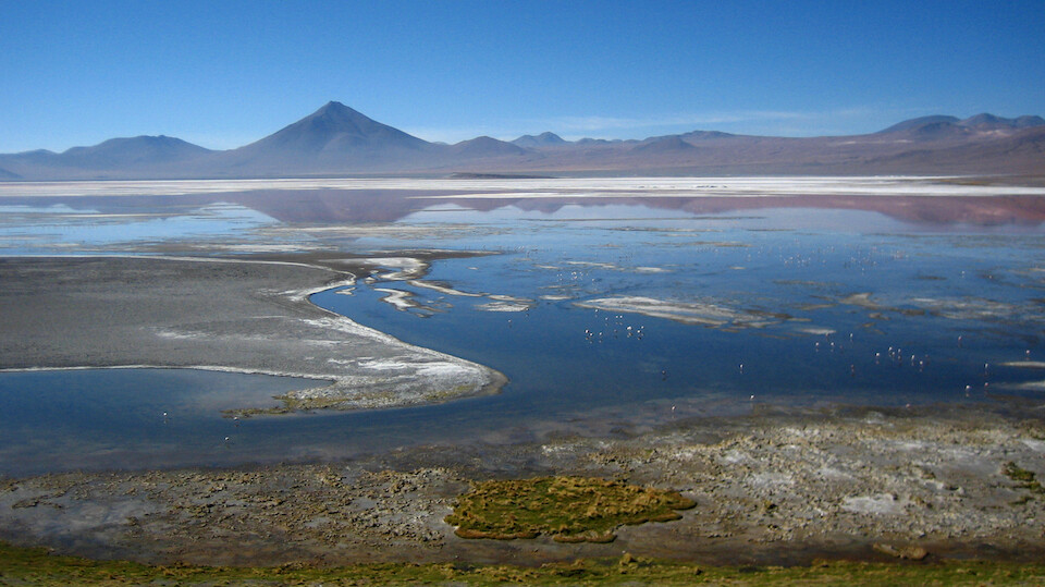
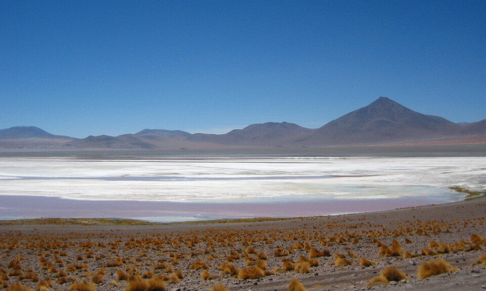
Since this is at the end of the dry season, the water levels are low, revealing salt bars across the lagoon.
The red algae that Laguna Colorado is known for.
Next: Bolivia II, Part 7: The Lagunas Route | Thermales and Geysers
Previous: Bolivia II, Part 5: The Lagunas Route | San Juan to Laguna Cañapa