Bolivia, Part 1: Copacabana, La Paz and Death Road
— Bolivia, South America — 6 min read
July 22 - 27, 2010
Bolivia is a landlocked Andean nation, known for its breath-taking altitude and its lesser known share of the Amazon. I wanted to take a tour of the country before heading north for Brazil. However, I had a mechanical breakdown, cutting my time short in Bolivia. I got a taste for life in the country and vowed to return before leaving South America as I didn't get to see the Salar de Uyuni on this visit. However, I had an exciting ride down the Andes, through the Yungas onto the flat dry savannah heading north. I met many warm people and felt very welcome.
Entering at Lake Titicaca, I went through La Paz, then attempted a visit to the Salar. Had to return to La Paz and then continued north to the border with Brazil.
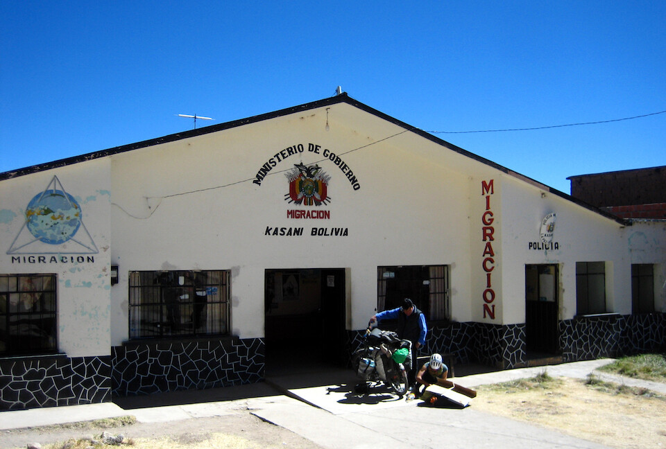
Crossing at Kasani, near Copacabana on Lake Titicaca. Border processing was very smooth.
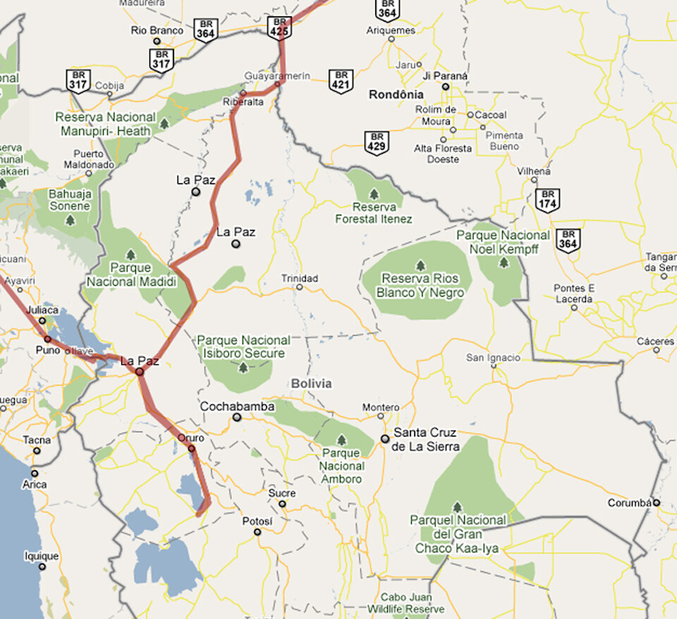
My route through Bolivia: entering at Lake Titicaca, then La Paz, down to the start of the Salar, then back to La Paz and heading north for Brazil. Click on it to go to the interactive version in Google Maps.
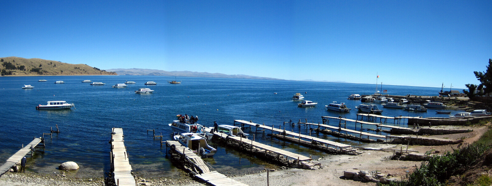
Panorama of Lake Titicaca from Copacabana, about 10 kms (6 mi) from the border. Boats leave from here for Isla del Sol. Elevation is at around 3,800 m (12,460 ft).
Click here to see the high resolution version.
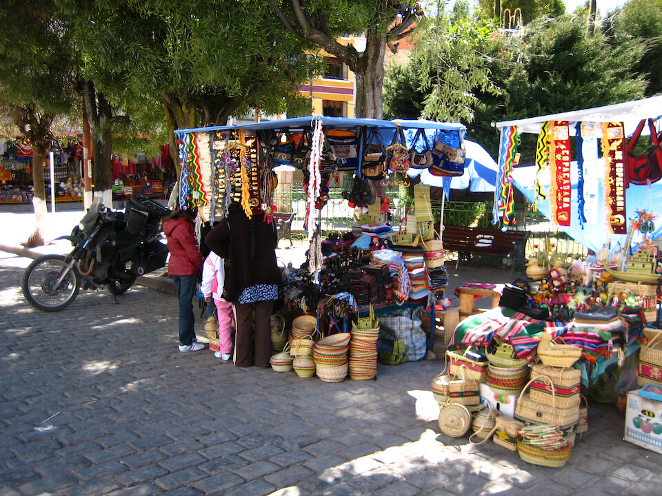
A crafts vendor in the main plaza of the town.
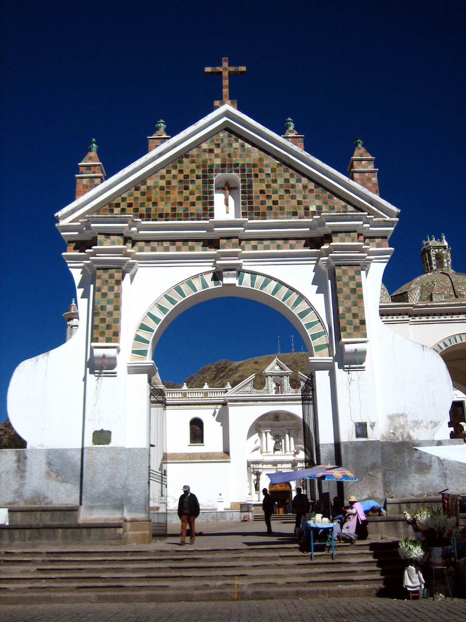
Entrance to the 16th-century Basilica of Our Lady of Copacabana, in front of where the pastor blesses vehicles.
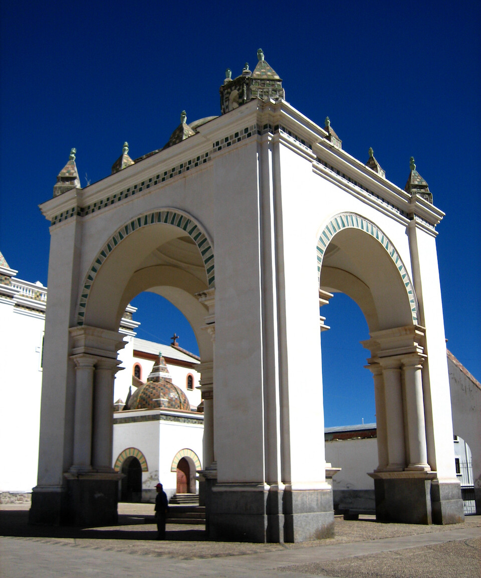
Tower next to the cathedral, looking very middle-eastern. The current Spanish-built basilica sits on top of the once Temple of the Fertility of Kotakawana, scared to the Incas.
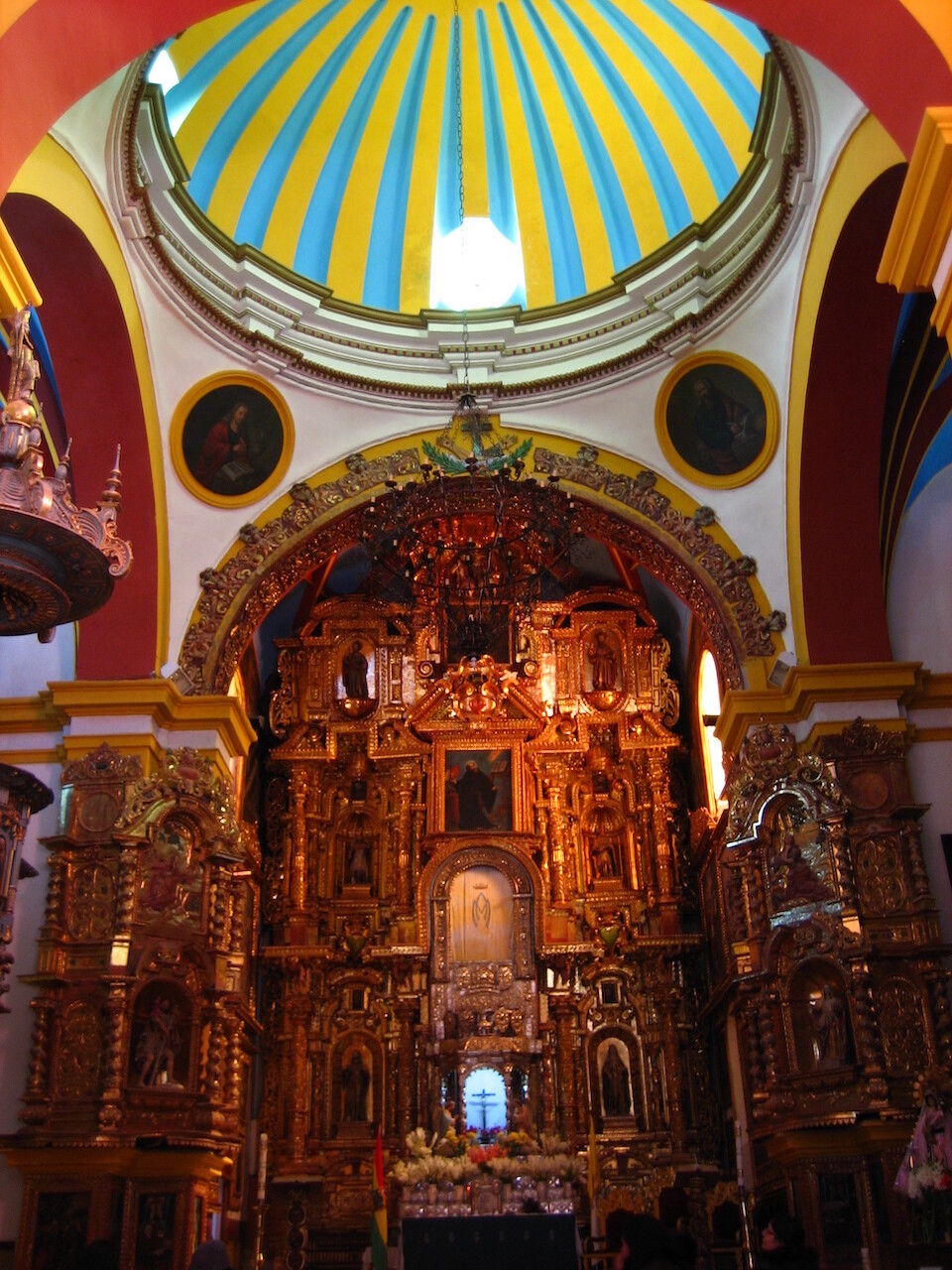
The gold-leaf covered facade of the altar inside. Very intricate.
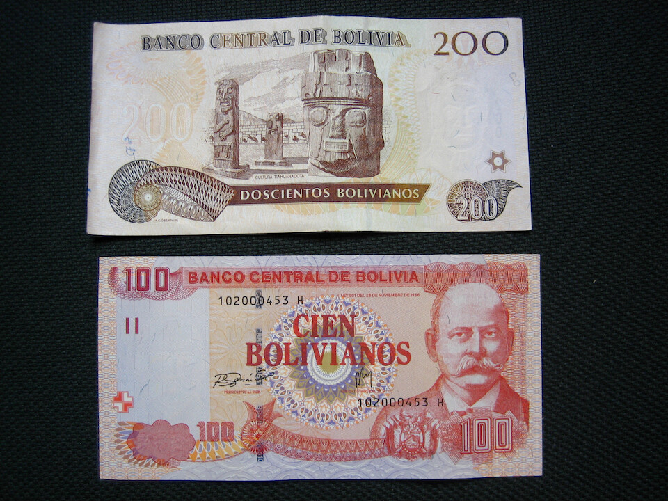
Bolivia's currency is the Boliviano. USD 1 = 7 Bolivianos. 100 Bol = USD 14.
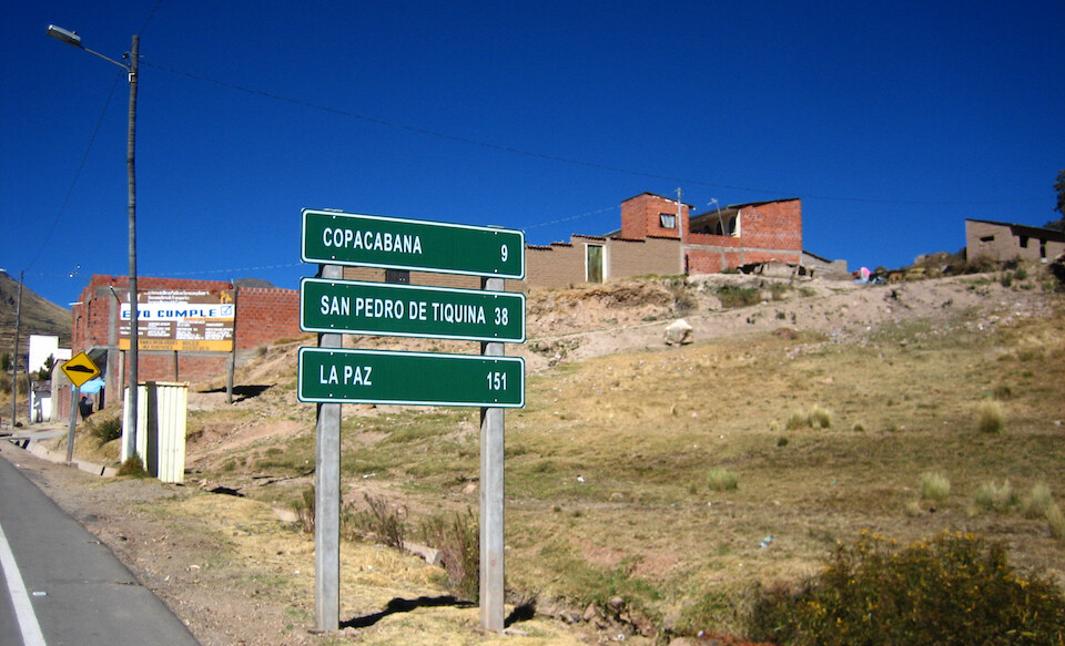
Heading out of Copacabana for La Paz.
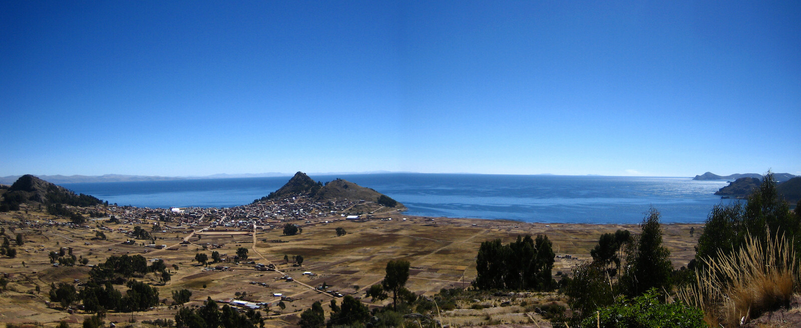
Panoramic view of Copacabana on the left with the massive, impressive Lago Titicaca stretching beyond the horizon.
Click here to see the high resolution version.
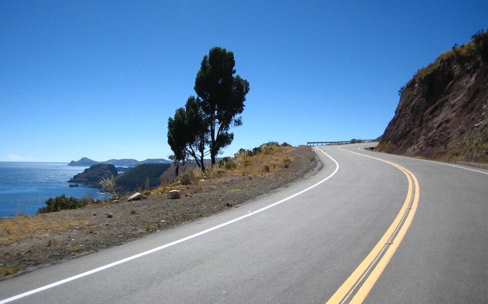
The road was in good condition and it twisted around the shoreline. The lack of traffic made it an enjoyable ride.
Video from Copacabana heading to the Strait of Tiquina.
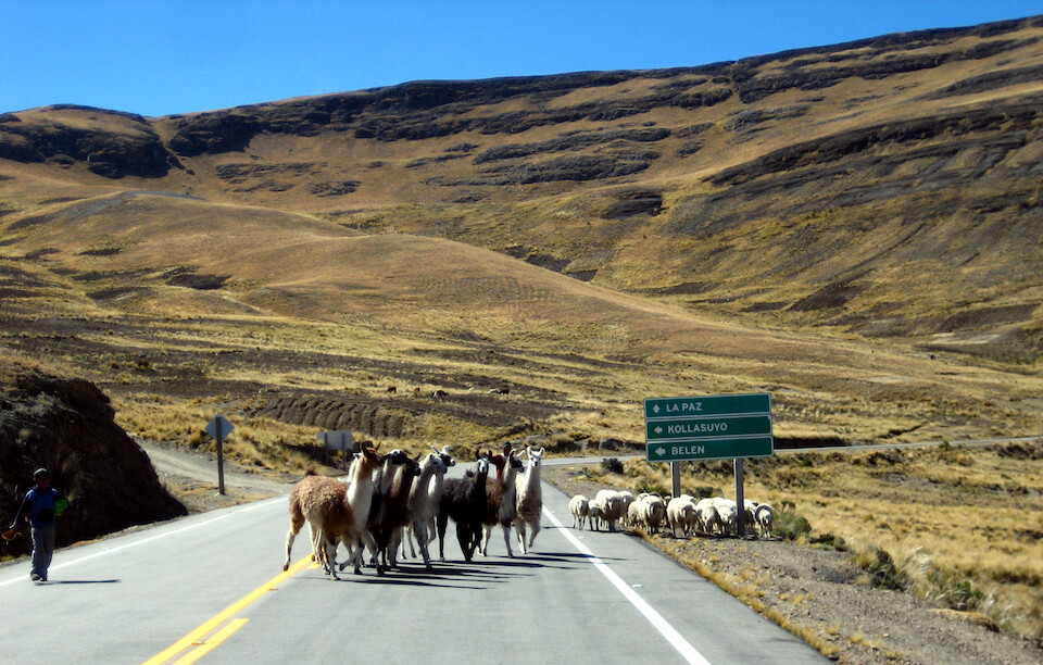
Llama crossing.
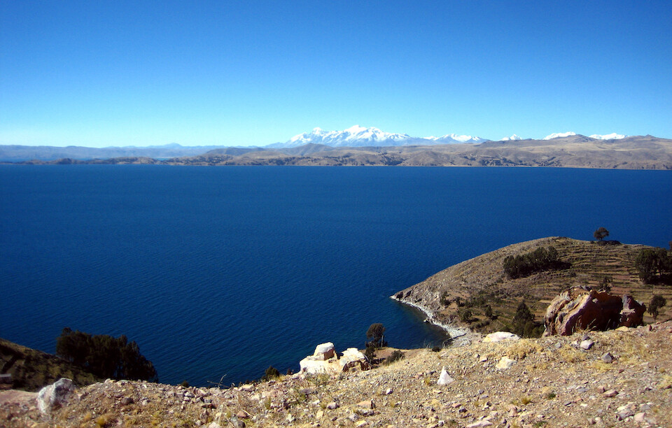
The blue-ness of the lake is very impressive. With snow peaks of the Cordillera Real visible in the distance.
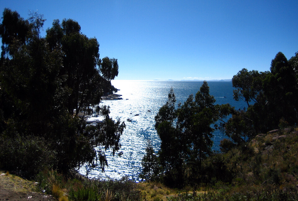
Coming down to the town of San Pedro de Tiquina to take a ferry across the Strait of Tiquina.
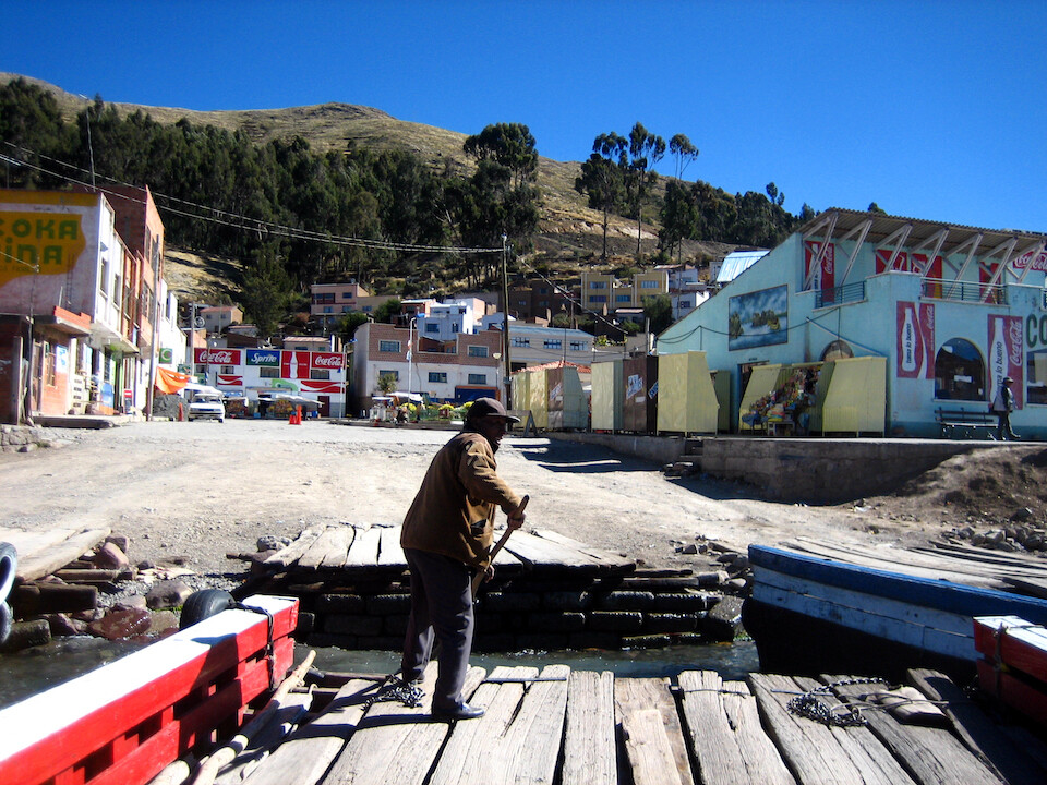
Pushing off from San Pedro for the 20 Boliviano ride.
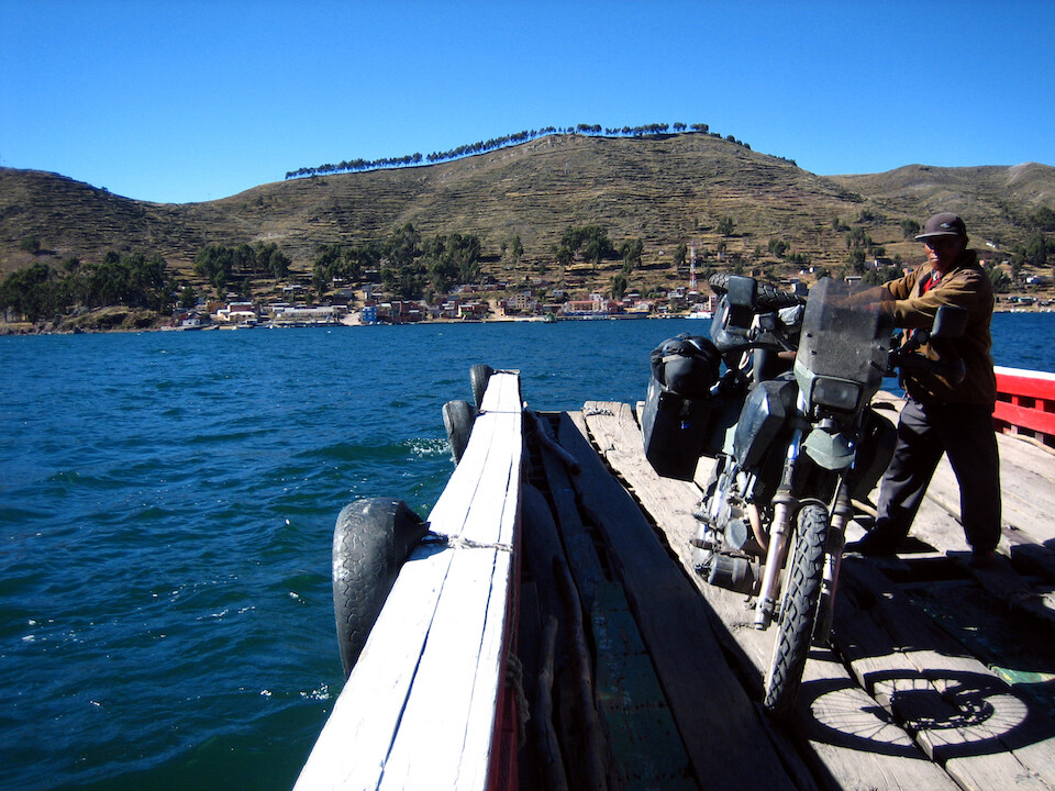
The water was very choppy and I had the attendant hold the bike while I grabbed some pictures. Heading to San Pablo de Tiquina on the other side.
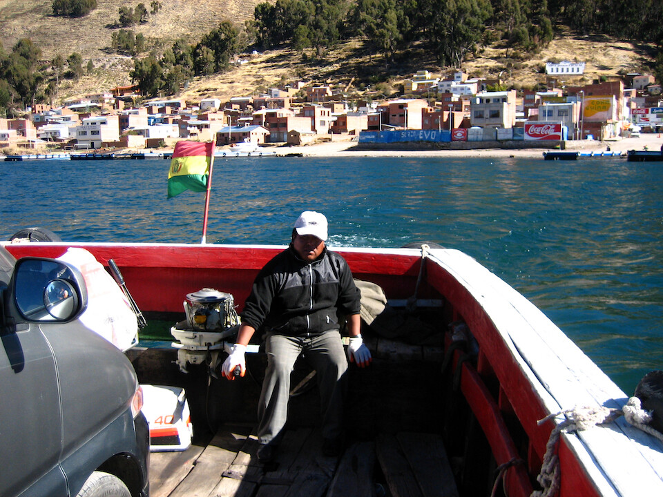
The ferry is powered by a small out board motor.
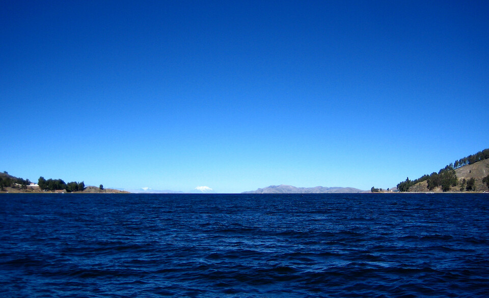
It's looks so fresh and clean and with no major cities nearby, hopefully it'll stay that way. The straits are monitored by the Bolivian Navy, being the only landlocked country to have a navy, which should help in Bolivia's struggle to regain access to the sea.
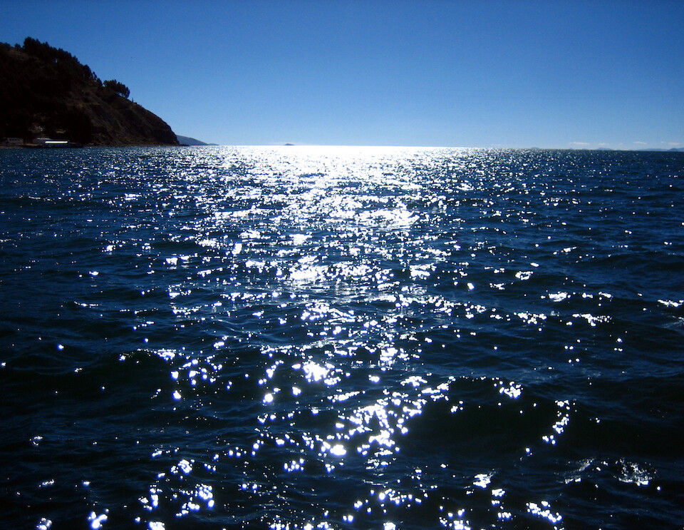
Looking into the sun and absorbing the shimmering rays from the thick surface.
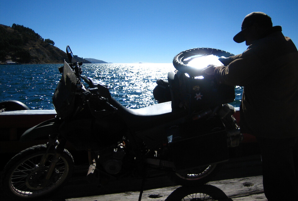
Now that's some good sun for the solar panel.
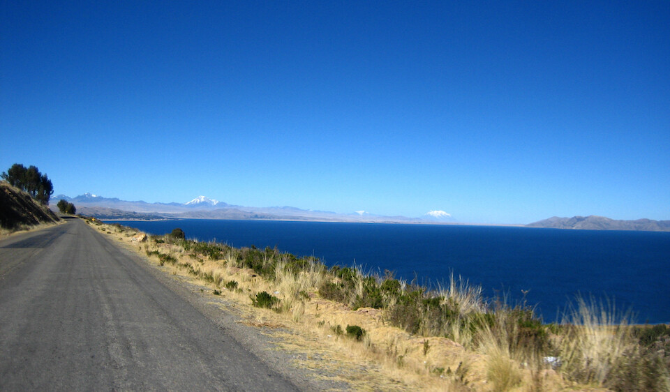
On the other side, enjoying the last bit of riding by the lake.
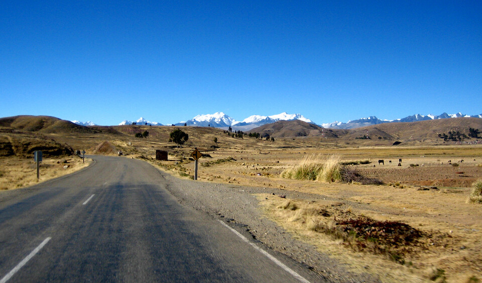
On a clear day like this, the snow peaks in the distance keep calling you further to them.
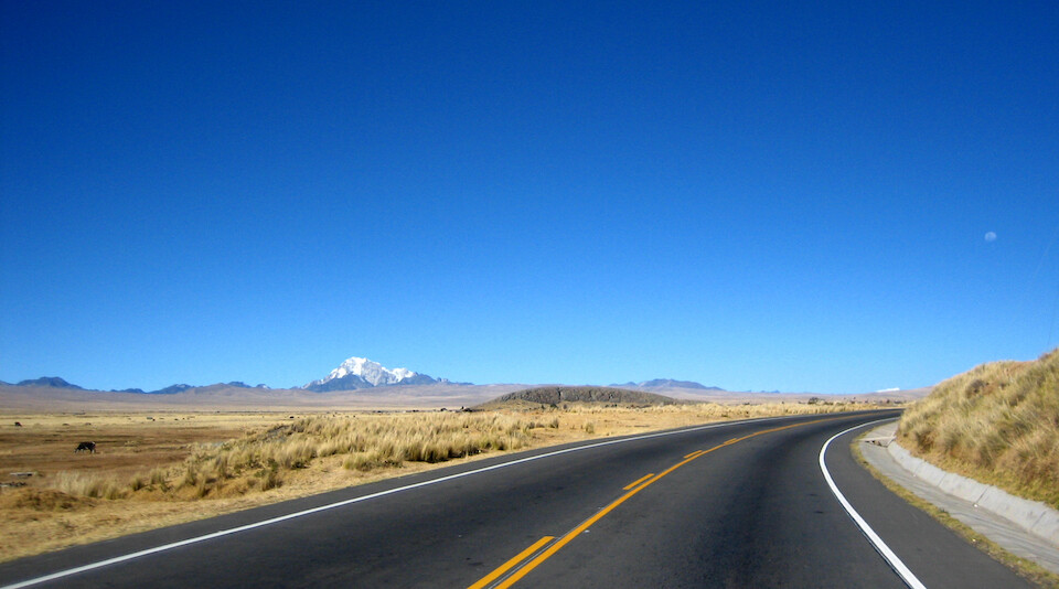
Twisting across the altiplano towards the bustling capital of La Paz.
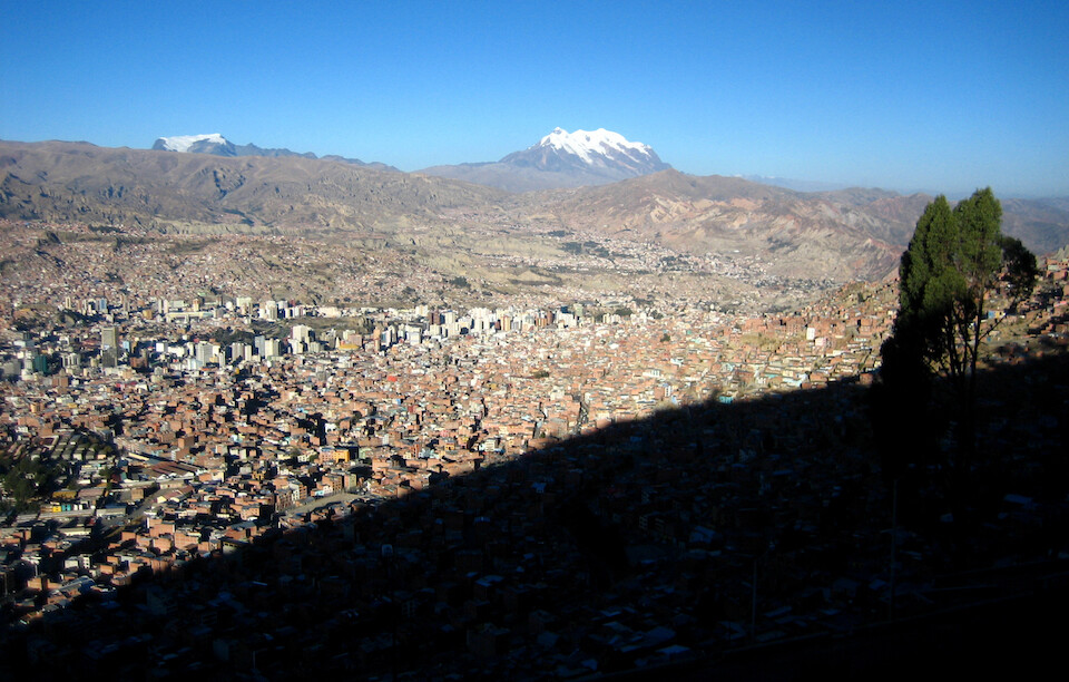
View of the bowl-shaped city of La Paz at an average elevation of 3,600 m (11,800 ft), making it the highest capital city in the world, with snow-peaked Illimani towering over the city. The downtown area is at the trough of the valley and houses sprawl in all directions from there, up and over the surrounding ridge.

A panoramic view of the city as the sun disappears behind the ridge.
Click here to see the high resolution version.
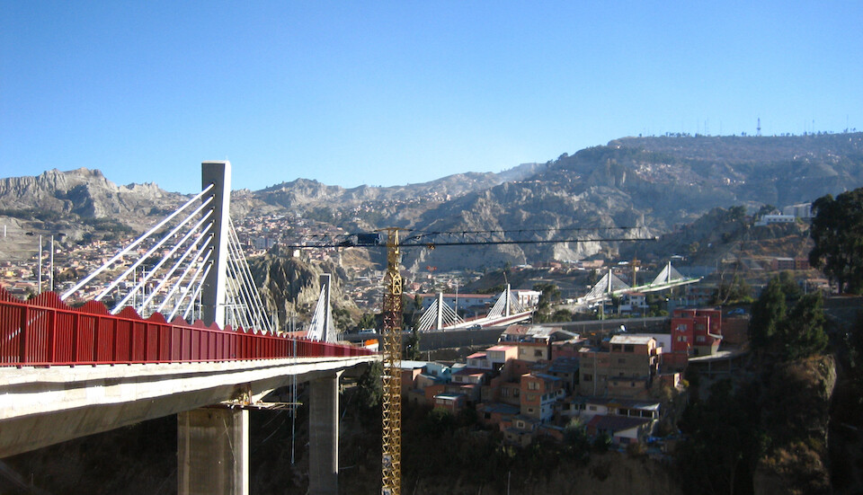
New bridges set to open shortly to connect one side of the valley with the other. The city is not flat anywhere and the steep elevation changes are impressive. You can drop about a 1,000 m (3,280 ft) and still be within city limits.
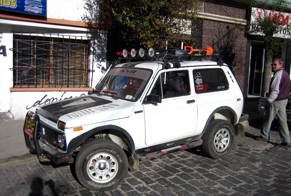
A rally-edition Lada. And that's Alfonso, whom I contacted through HorizonsUnlimited and he helped me take care of a few things around town.
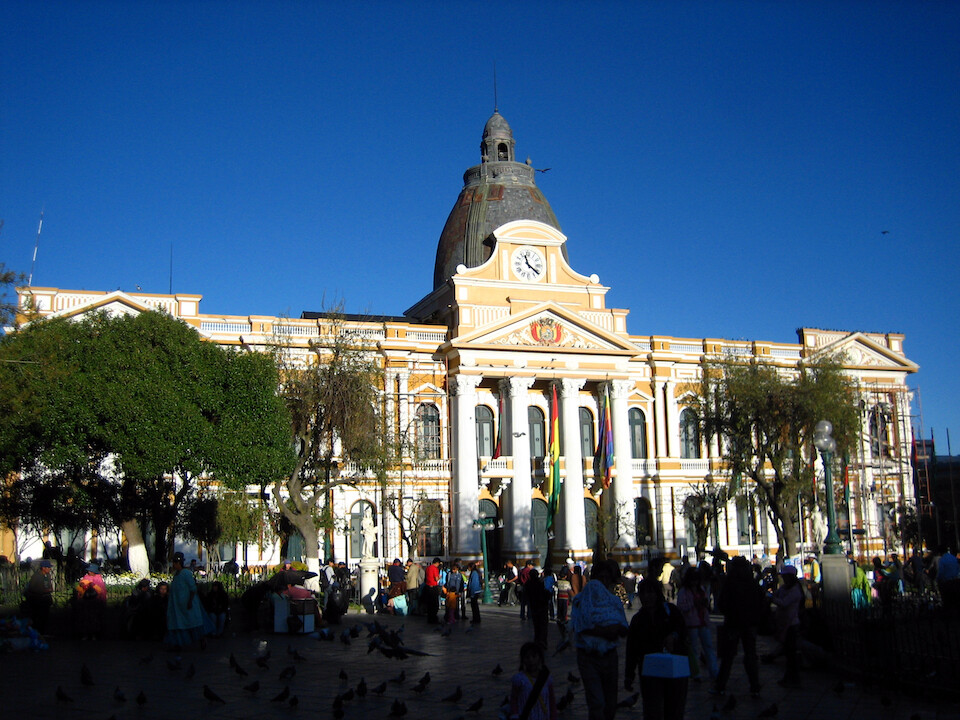
The Government Palace of Bolivia in the main plaza of the city. Not having much flat area, the central plaza is quite small compared to other major cities, but cozy.
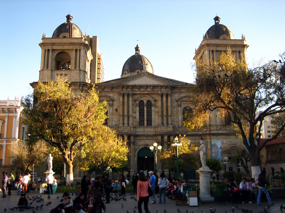
The main cathedral.
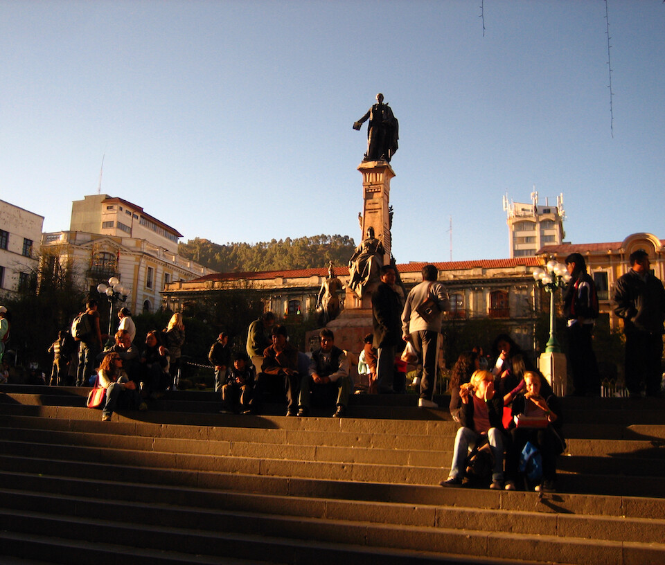
Steps on the main plaza. Alfonso told me how a few years ago the military and city police exchanged gunfire across the plaza due to some policy issues, similar to what happened in Ecuador recently. Bullets holes can still be seen in the surrounding buildings.
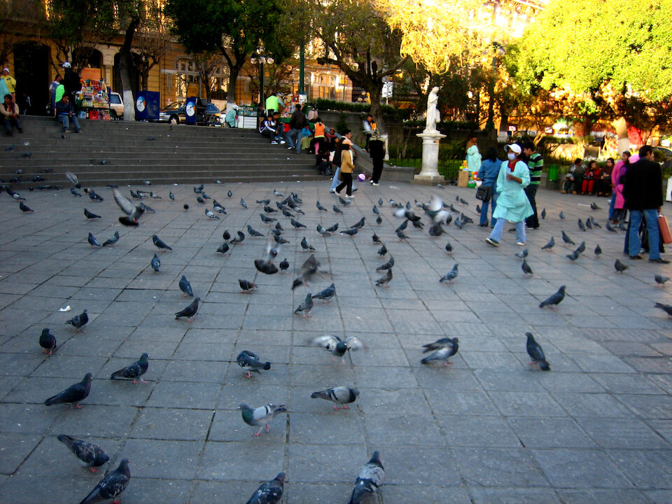
Pigeons, lot of them everywhere with kids running around making them take flight.
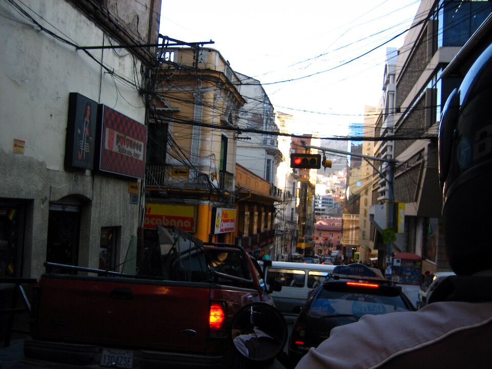
The roads are pretty confusing around La Paz, so I just went 2-up on Alfonso's KLR and got a nice view of the city that way.
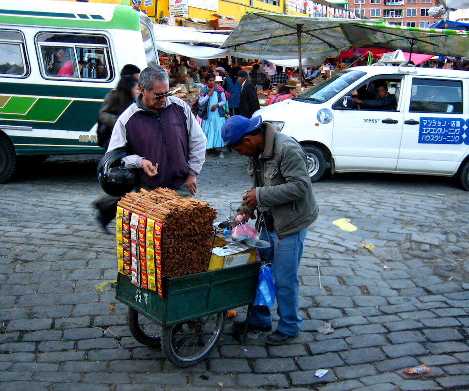
Buying spices in preparation for a chicken curry for Alfonso and his family. He works in computer security and did some work for the US embassy.
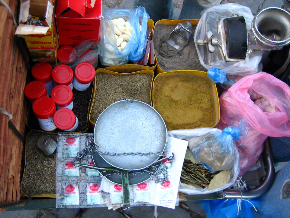
Impressed to find such a wide array of fresh spices, along with pealed garlic. It's a good sign that people are cooking with spices up here and I was told Bolivian food was bland, bah.
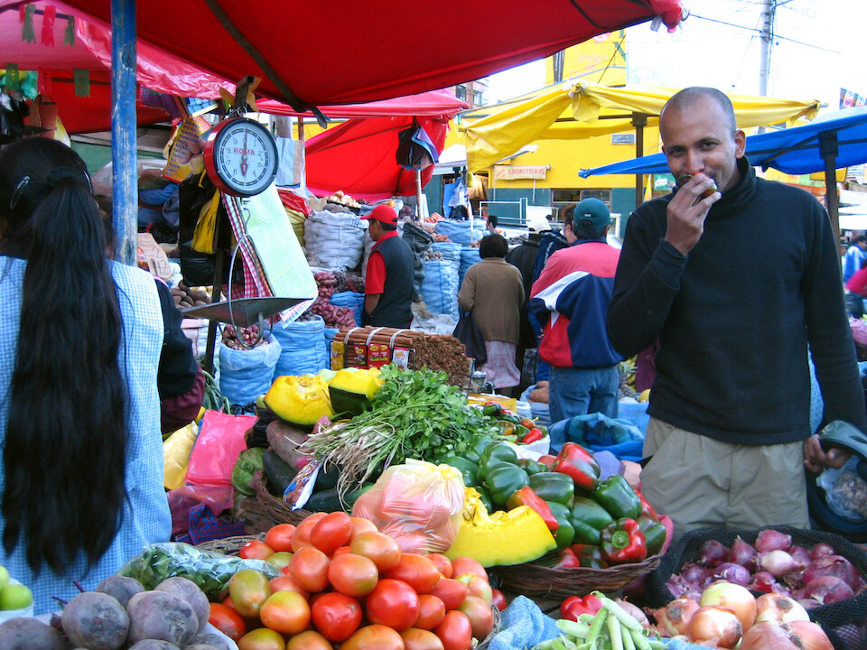
Selecting some fresh chillies at the Rodriguez market.
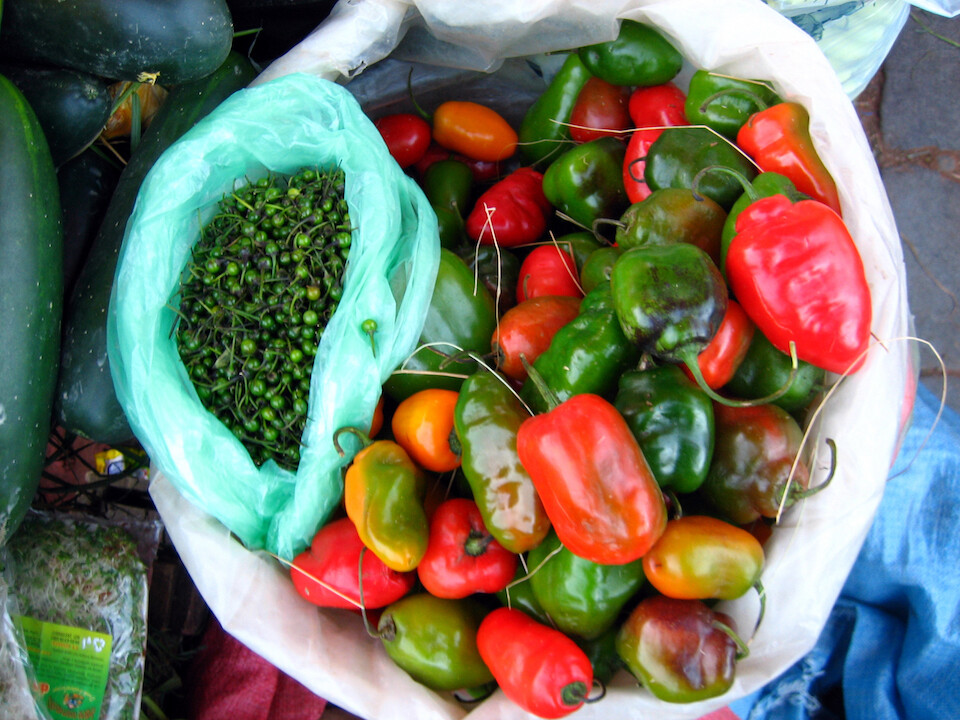
The red chillies are hotter than the green but the small guys pack the biggest punch.
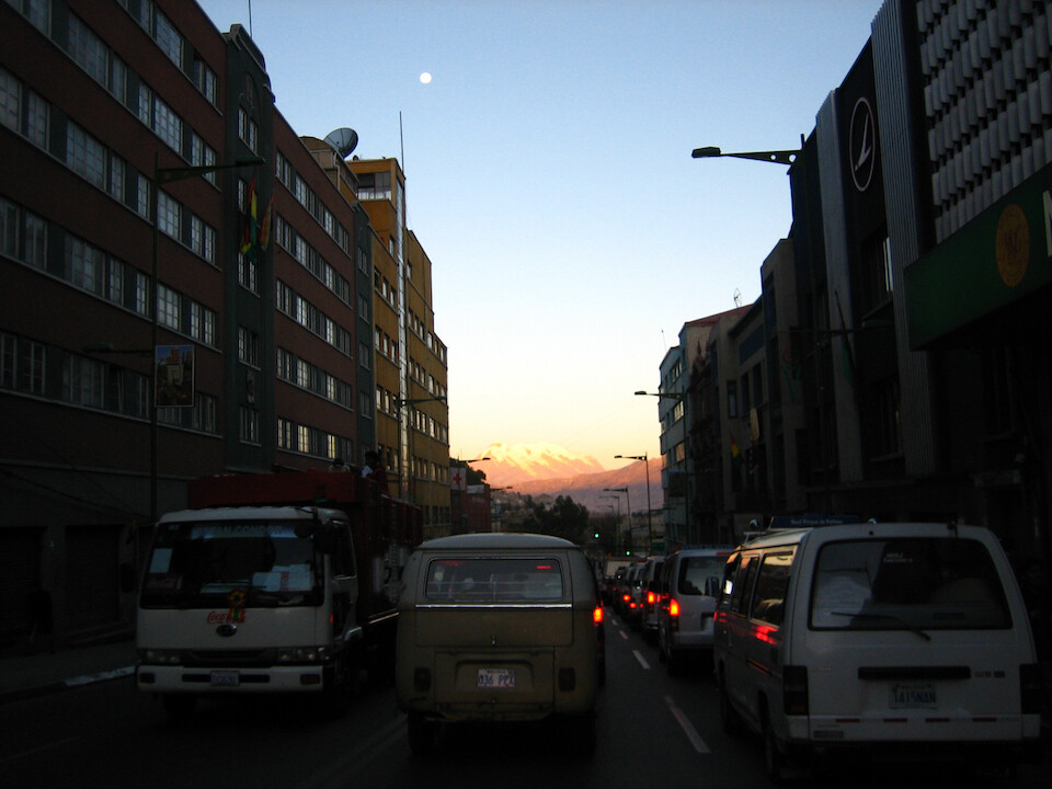
Illimani shining in the setting sun's light between a valley of buildings.
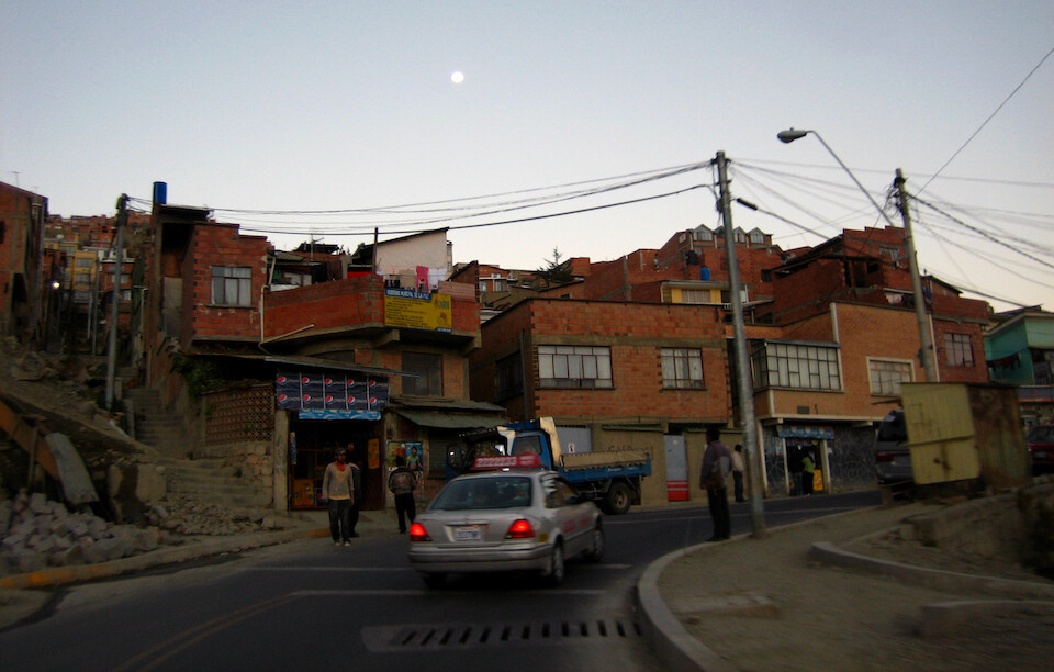
Following the moon back to Alfonso's home.
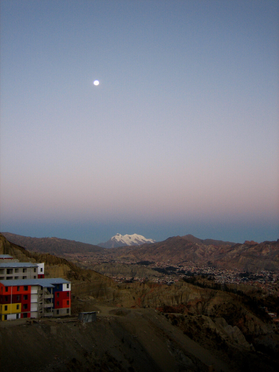
A full moon and Illimani shining over La Paz. Colorful building adds a nice juxtaposition. The galciated peak provides drinking water for the city and they've started to take notice now that the glacier has been shrinking and the city is concerned about near-future water supplies at this altitude.
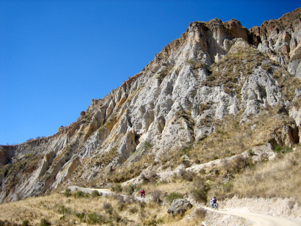
Taking a ride into the surrounding hills with Alfonso and his riding friend, Gonzalo.
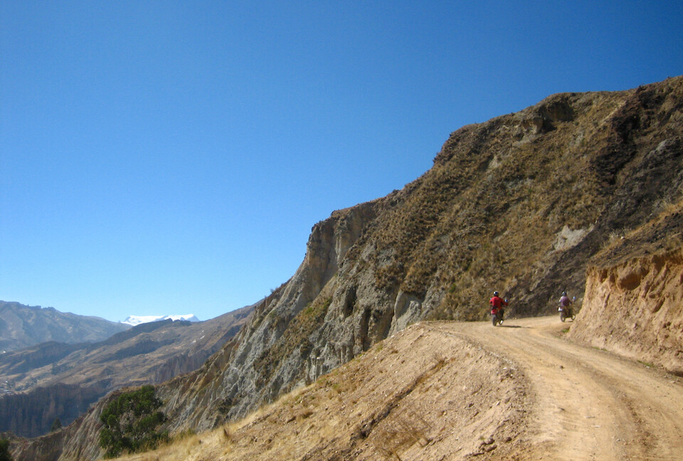
They have fun rides like this just a few kilometers from town with snow peaks in the distance.
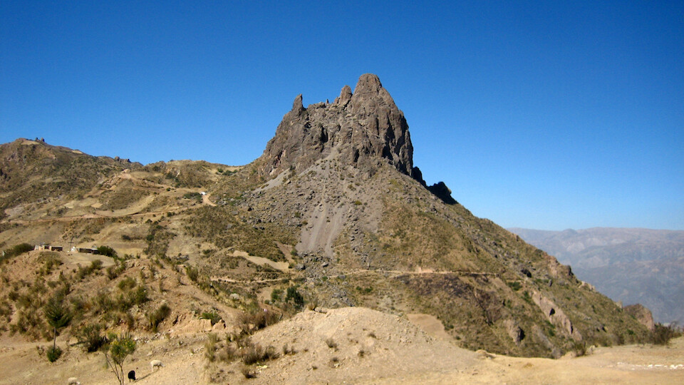
Our destination: Devil's Tooth, a horny rock formation.
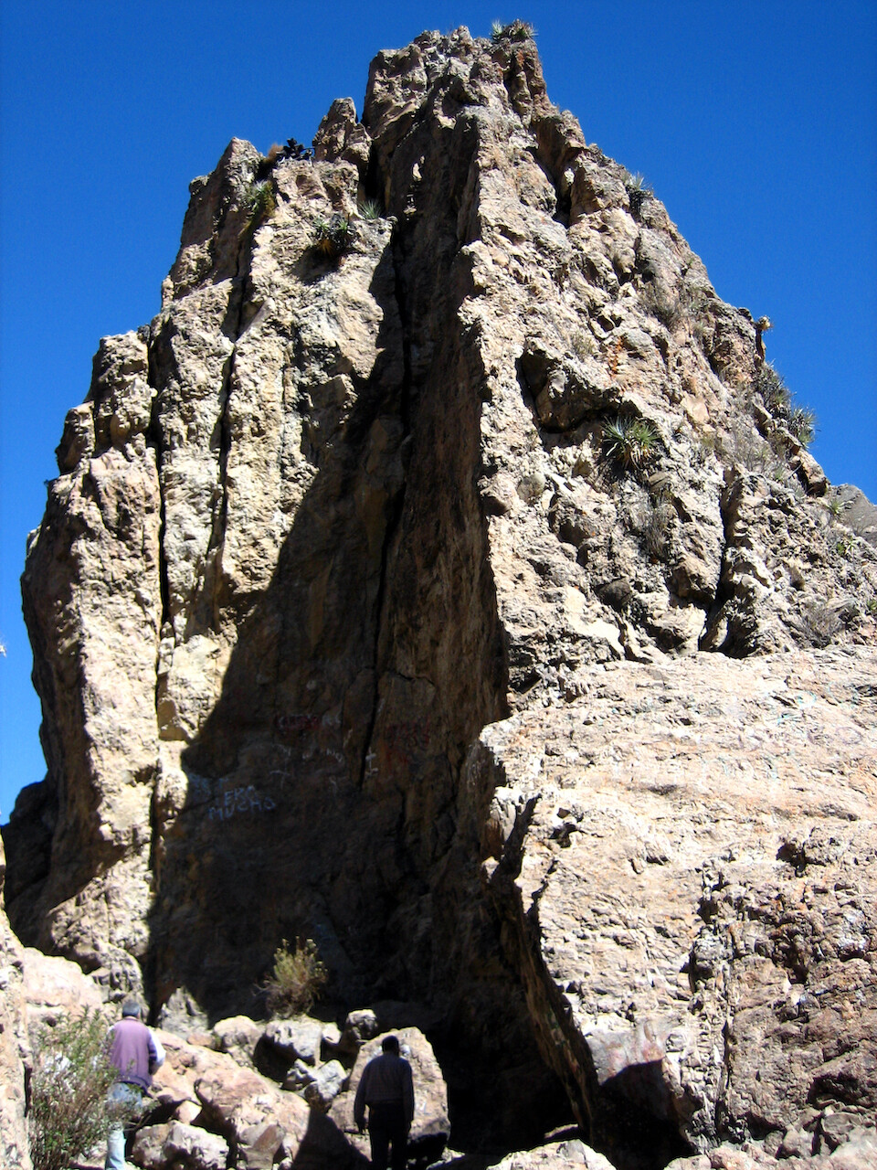
Scaling up to the peak.
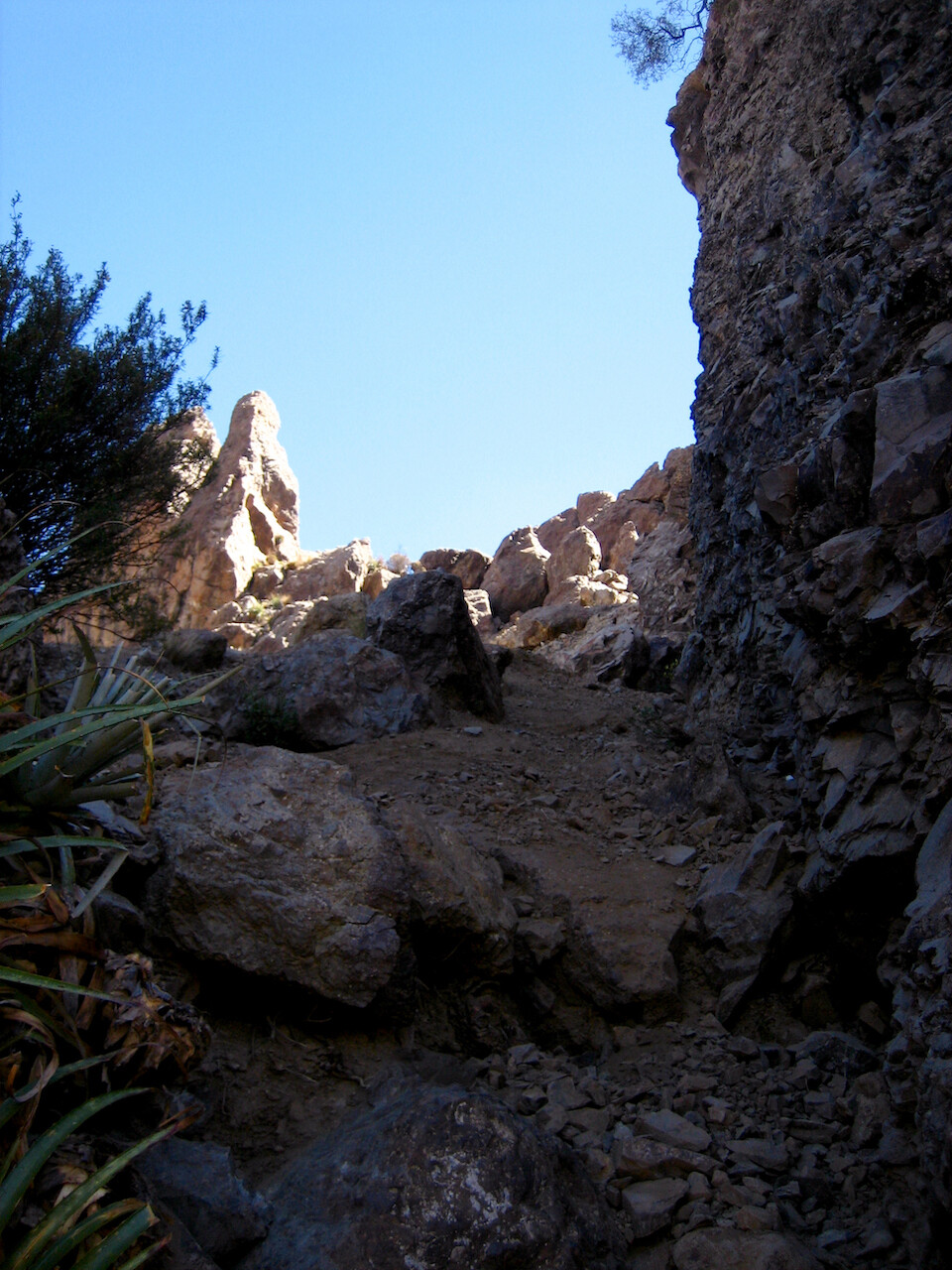
The slate rock was loose and made for tricky footings with motorcycle boots.
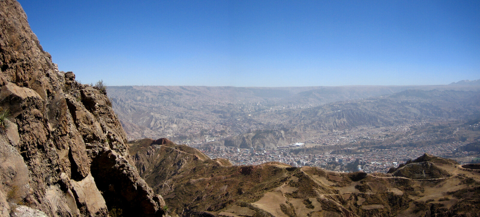
View from the top of the city and its surrounding ridge.
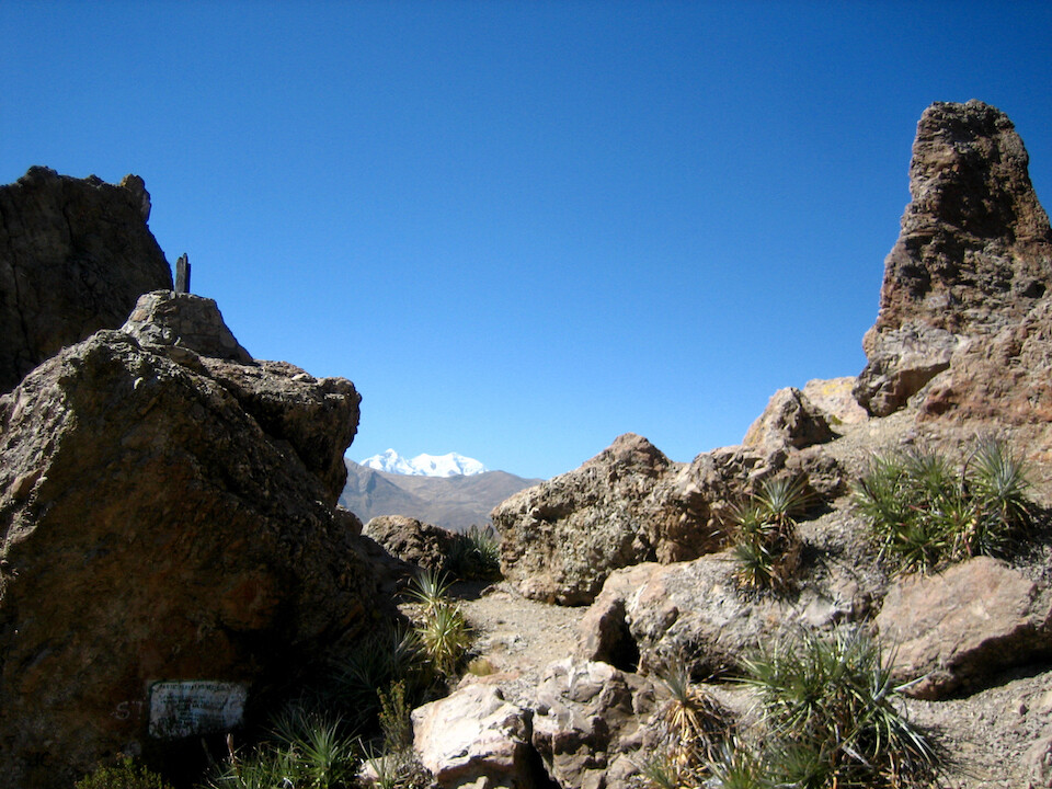
View of Illimani from the top.
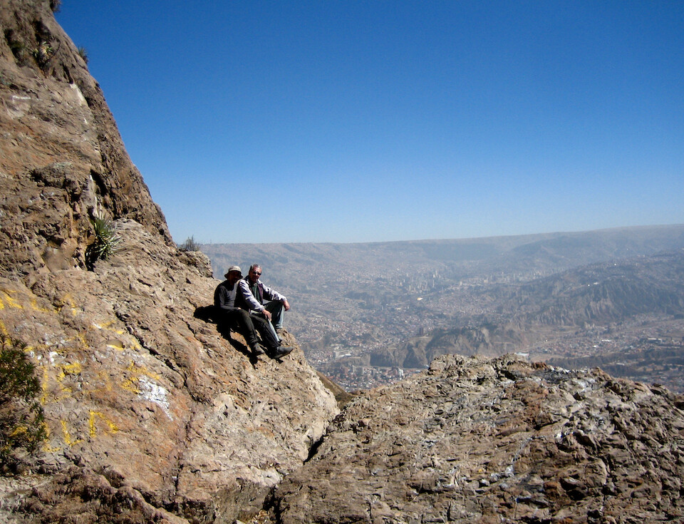
Alfonso and I with a view of the city.
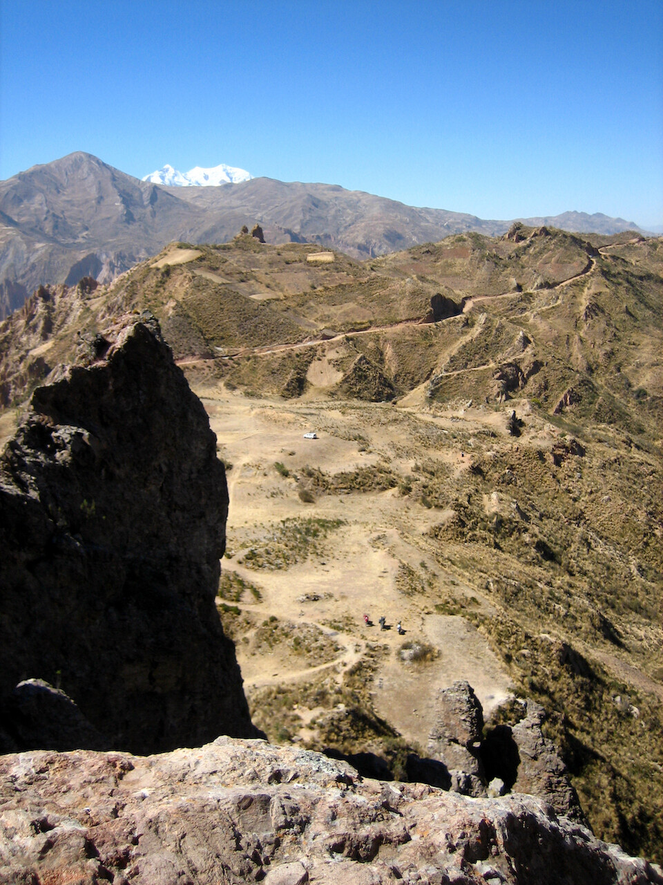
Our three bikes are the little dots in the foreground with Illimani peaking out in the background.
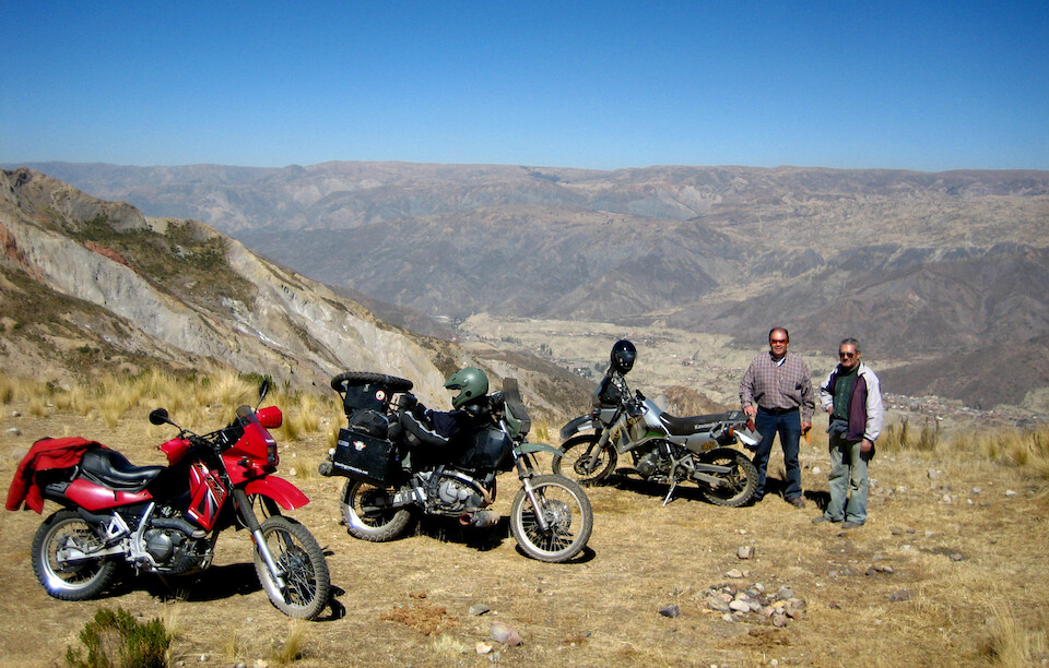
sanDRina enjoying the company of 650cc thumpers. And besides, everyone thinks my bike is a KLR because of the color scheme.
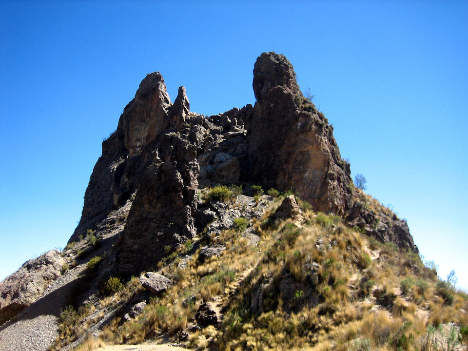
Looks more like some devils teeth from this view.
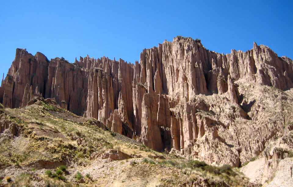
Hoodoo rock formations, similar to Bryce Canyon in Utah. The city is full of geologic wonders and almost feels like it could be a national park.
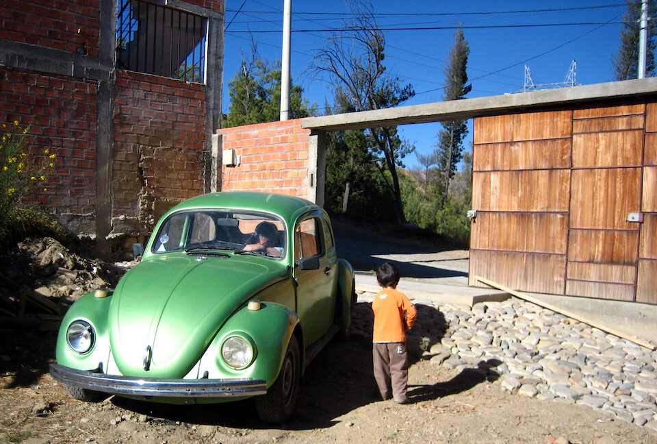
That afternoon, Alfonso's daughter came over for lunch with her son in her green bug.
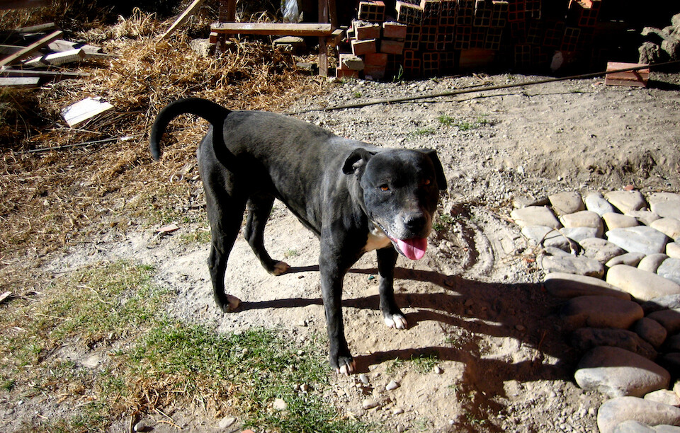
And his cute pit bull, Achira who was fun to play around with. They are such docile dogs covered in a bad reputation.
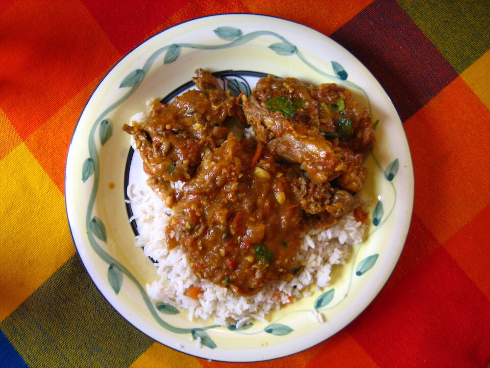
The chicken curry that I prepared for Alfonso and his family.
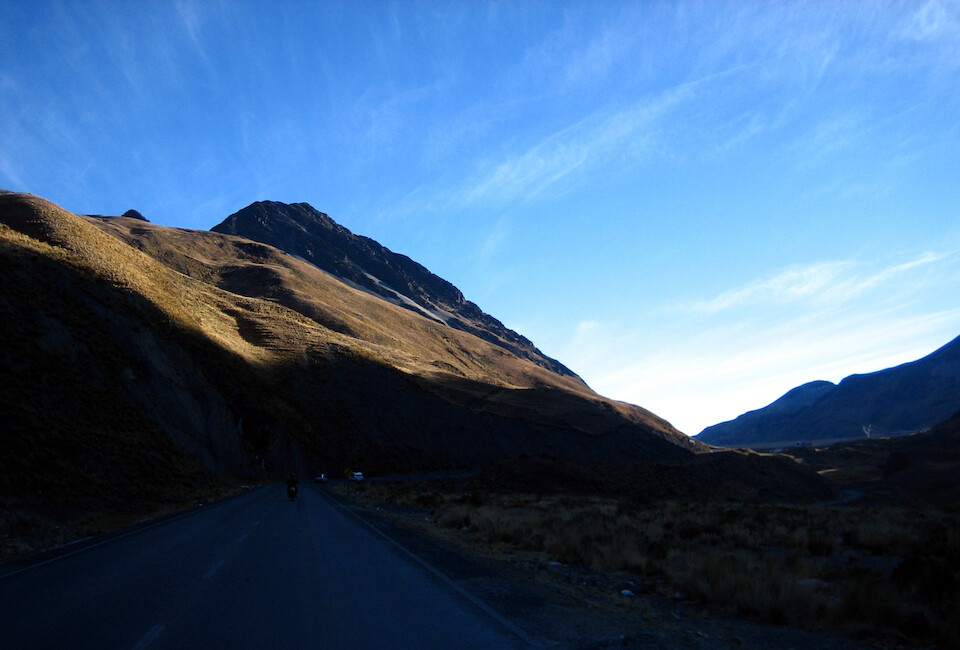
Heading out north of the city the next day for a ride along the Death Road, Camino del Muerte. We got an early start and it was blistering cold as the road climbed up to 4,300 m (14,100 ft).
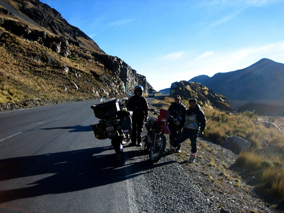
We saw these two guys walking their bike back down and stopped to help. They had a flat, so I used my air compressor but the tube was ruptured, so they continued pushing it back down. We saw them later in the day on our way back, zipping by.
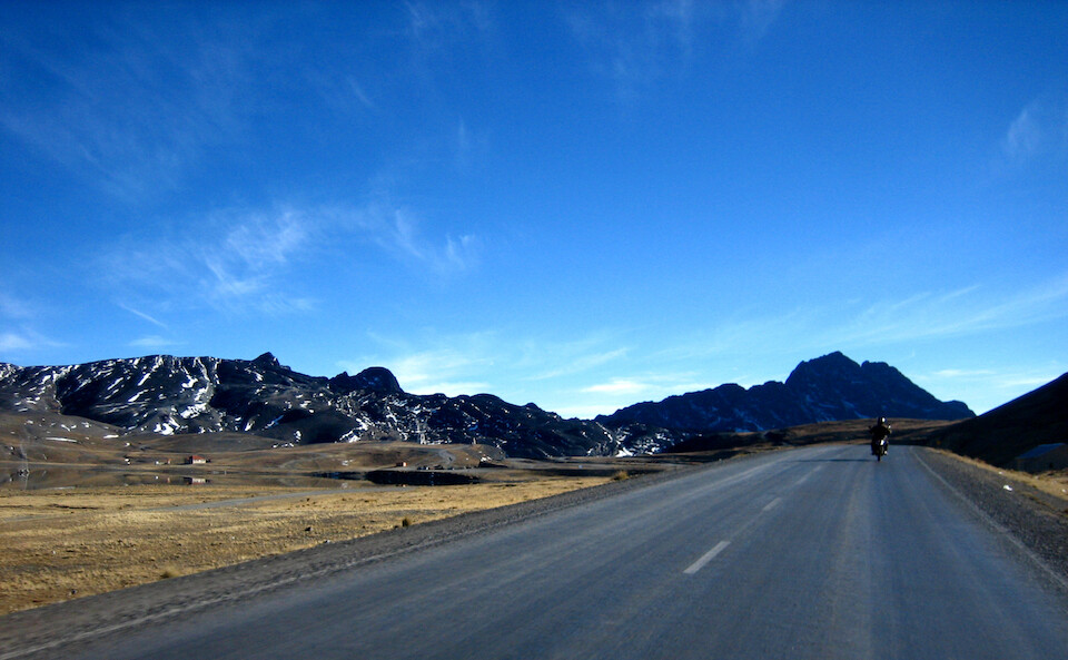
At the summit near 4,600 m (15,080 ft).
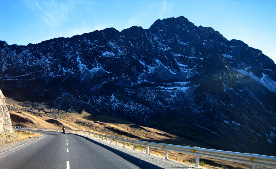
A light snow dusting on the peaks with grand views from the guard-railed road.
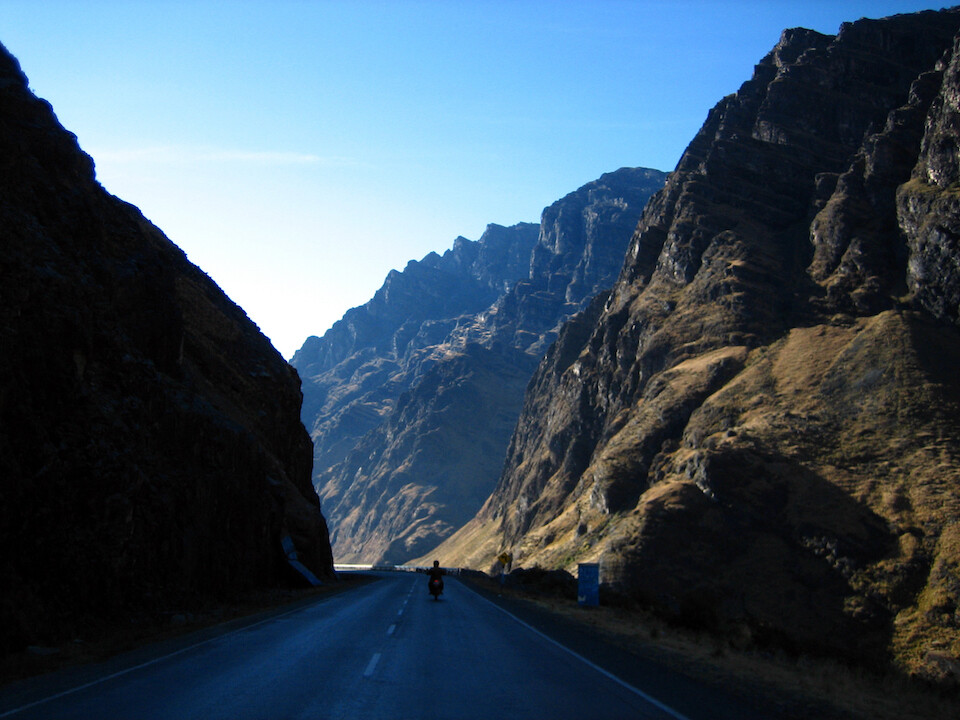
Heading down to warmer climes. The road continues dropping all the way to the Amazon.
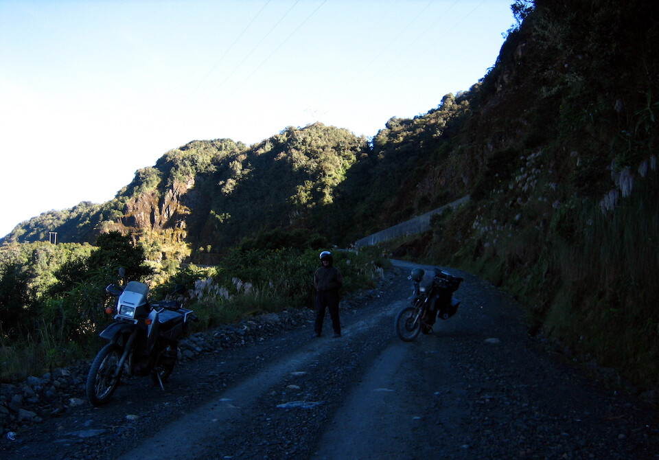
At the inconspicuous start to the Death Road. Since the new road's been built, there's very little traffic on the old road to Coroico.
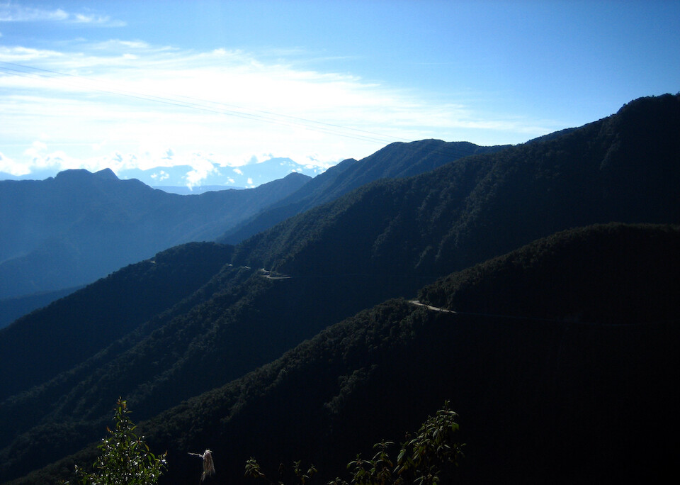
The road to Coroico winding its way along the twisted cliffs.
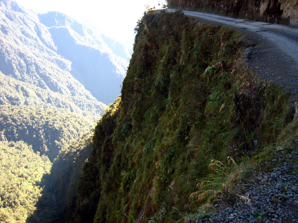
It was very similar to the roads in northern Peru from Chachapoyas to Cajamarca - single track dirt road with no guard rails. And the numerous accidents on this road earned it its famous name of the World's Most Dangerous Road. Well, not anymore with no traffic, but Alfonso tells me there's another similar road quickly gaining notoriety as the new camino del muerte.
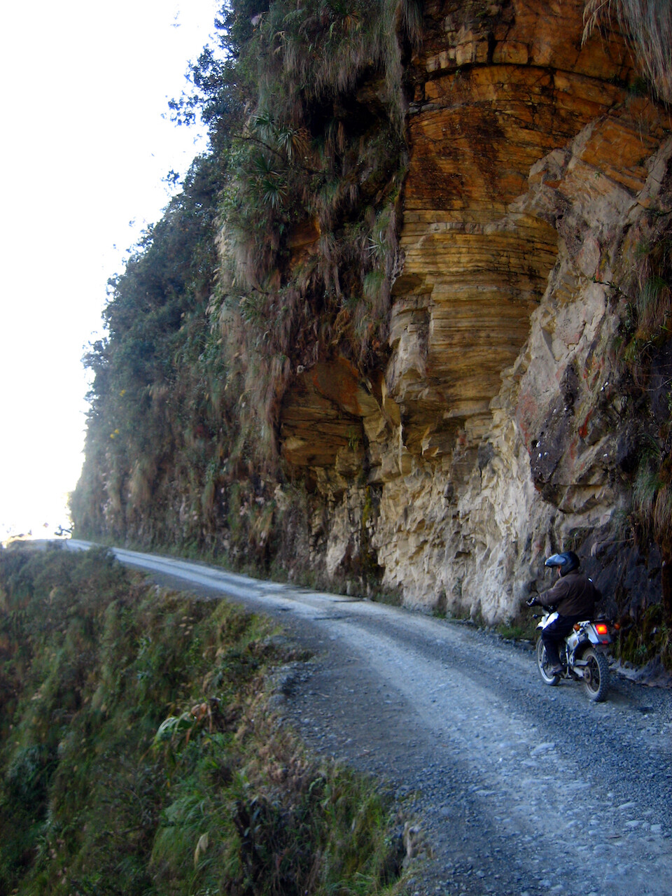
Whatever it's called, it's a nice ride with great views.
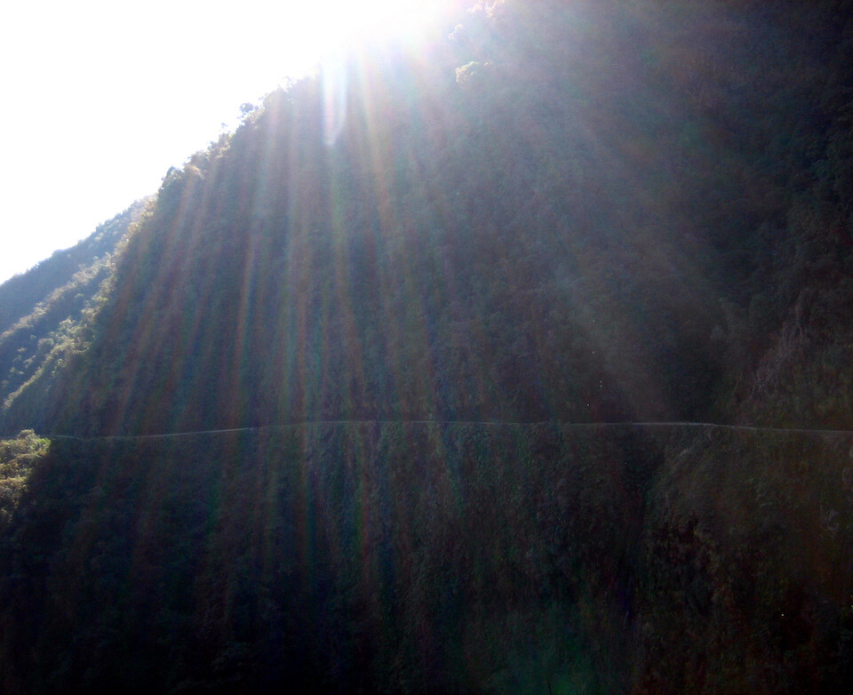
The sun was bright over head, so excuse some of the over exposure.
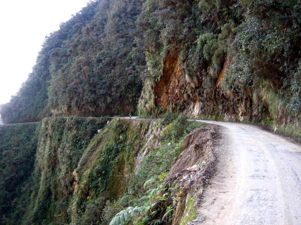
Following the contours of the cliffs, slowing winding downhill.
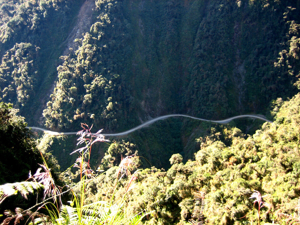
A well-designed road, but just not safe enough for crazy two way traffic.
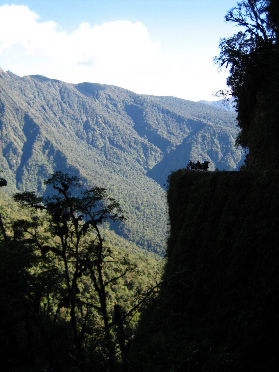
The bikes perched on a ledge.
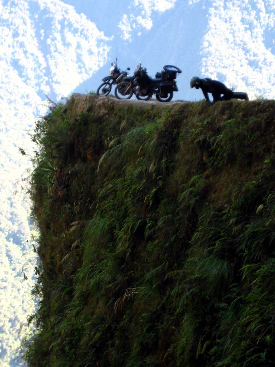
I think I can see an old van... The unacceptable regular high loss of life finally lead to the construction of the new wider road to Coroico.
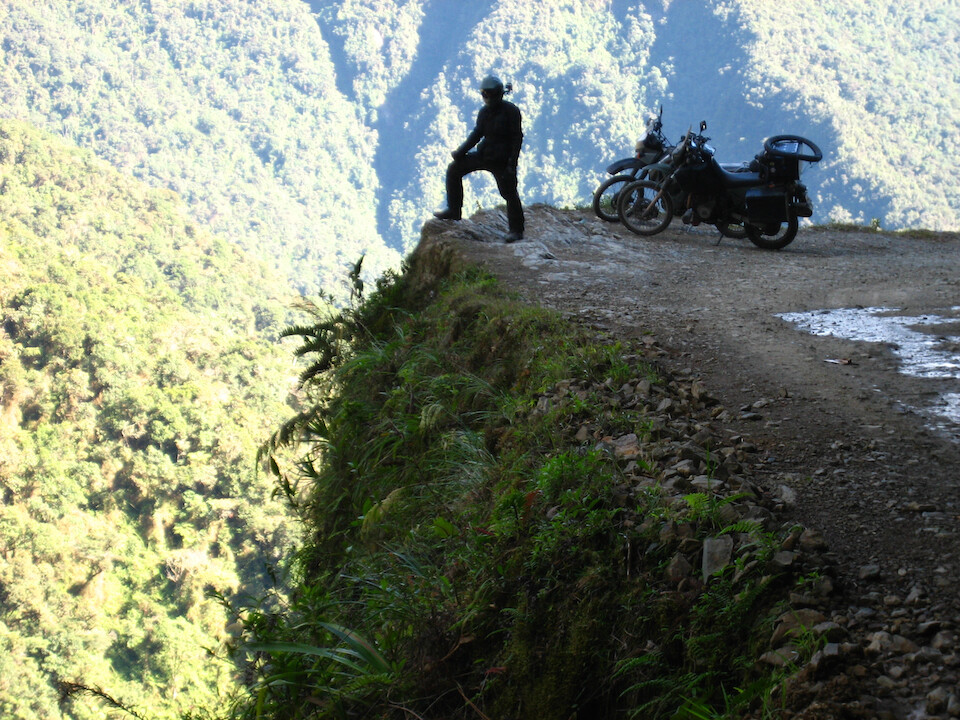
Where's my "I survived the Death Road t-shirt?" :p
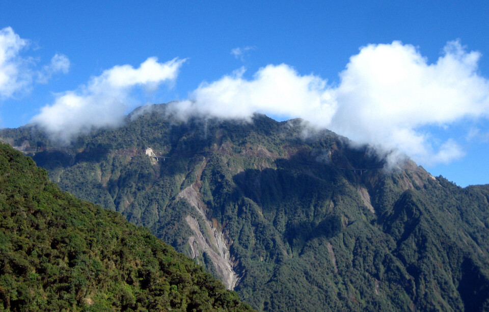
Looking up at the new road with its many bridges making for a straighter path.
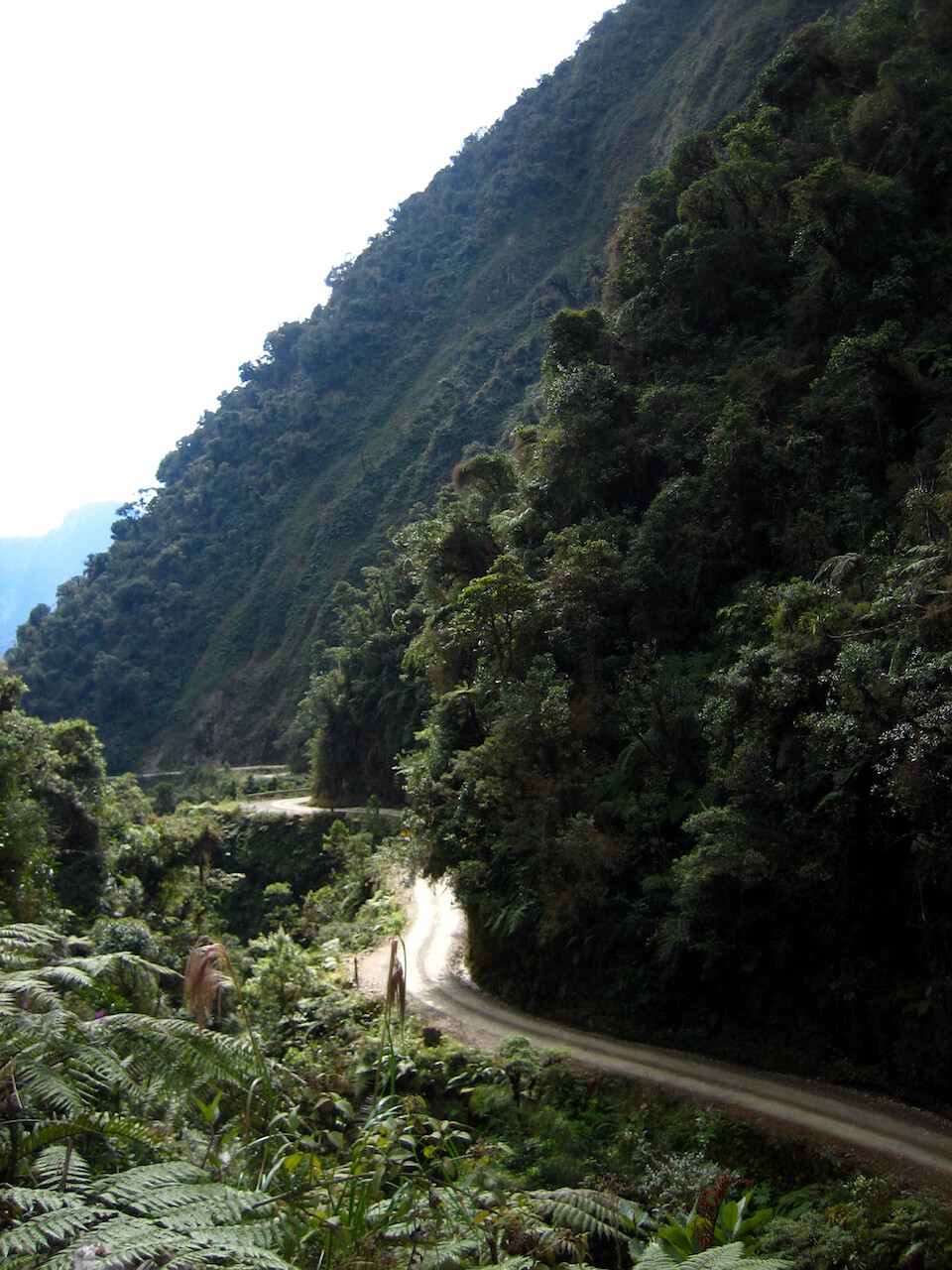
Enjoyable ride and we only came across a few vehicles.
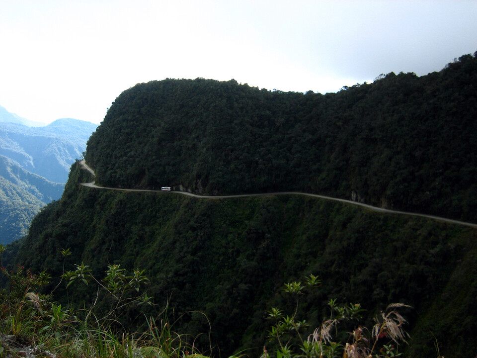
A bus winding its way along the old Death Road. You can imagine what happens when two buses meet and are negotiating a pass, at night, in the rain :/
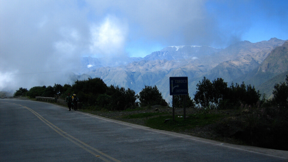
The inconspicuous turn off for the old Death Road, heading to Chuspipata, then Coroico.
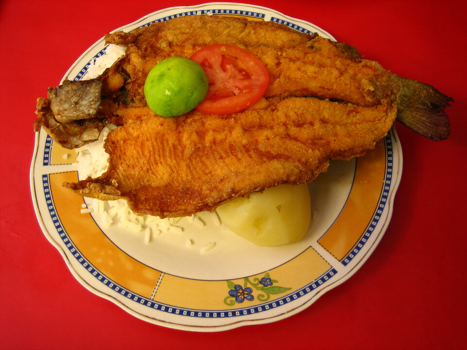
Having some lunch of freshly fried trucha (trout).
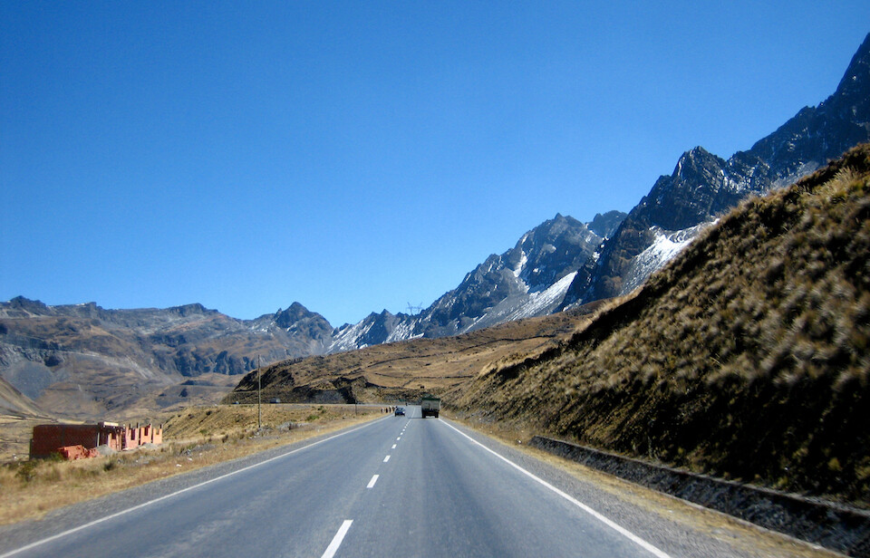
Riding back up to the pass and into La Paz.
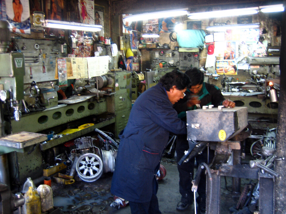
Getting the corners of my panniers reinforced at a welding shop to prevent future cracks. They're sturdy panniers, but I'm putting them through lots of abuse with bike tip overs.
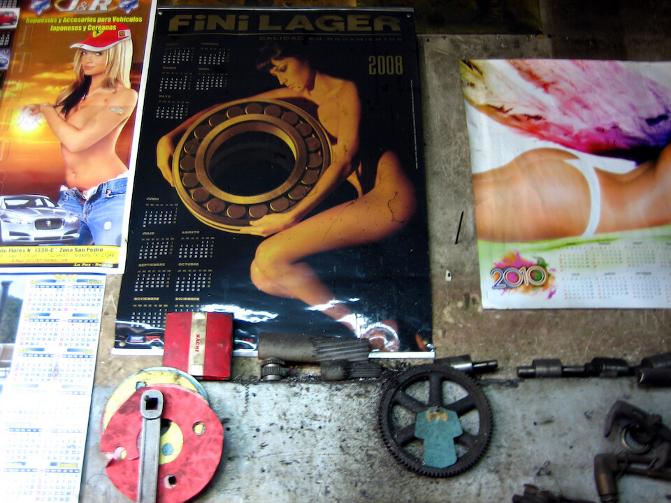
And a nice thing for guys is that in all Peruvian and Bolivian workshops, the walls are plastered in scantily-clad models showing off their merchandise. Yes, make love to the bearing.
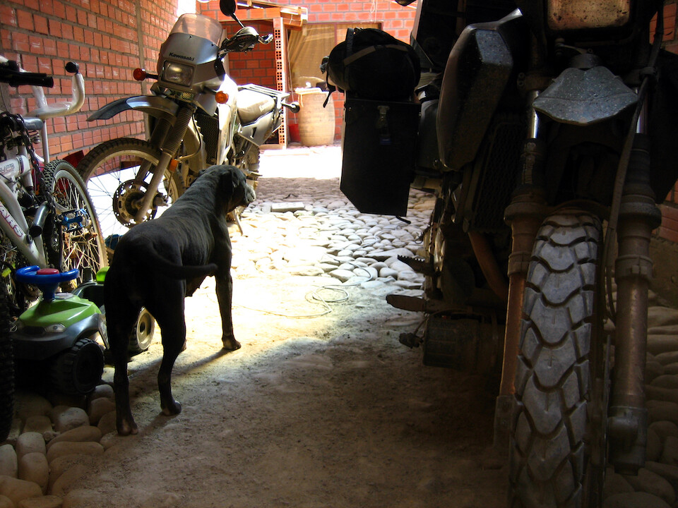
Achira watching over the bikes as I got sanDRina ready for a supposed tour of southwest Bolivia.
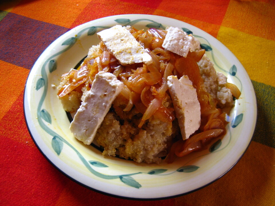
A hearty meal before hitting the road of quinoa, onions and cheese.