
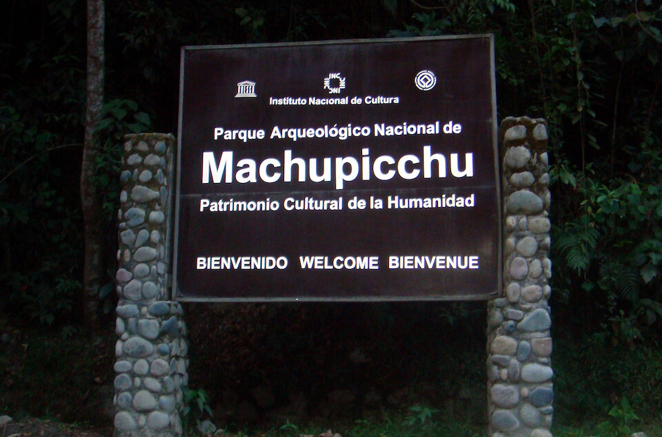
Peru, Part 5: Machu Picchu
— Peru, South America — 10 min read
July 10 - 13, 2010
At the farm I was staying at in Cusco, I became friends with Carlos from Lima and he was looking for someone to head to Machu Picchu with and knew the back route to get there without taking the expensive trains. I was up for it and left the bike at the farm and we backpacked it to Machu Picchu.
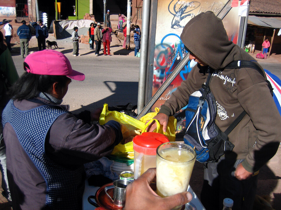
Getting an early start for the day long journey to the town of Aguas Calientes at the base of Machu Picchu. That's a drink from quinoa (Andean grain) that was quite filling near the bus stop. We first caught a mini-bus to Urubamba.
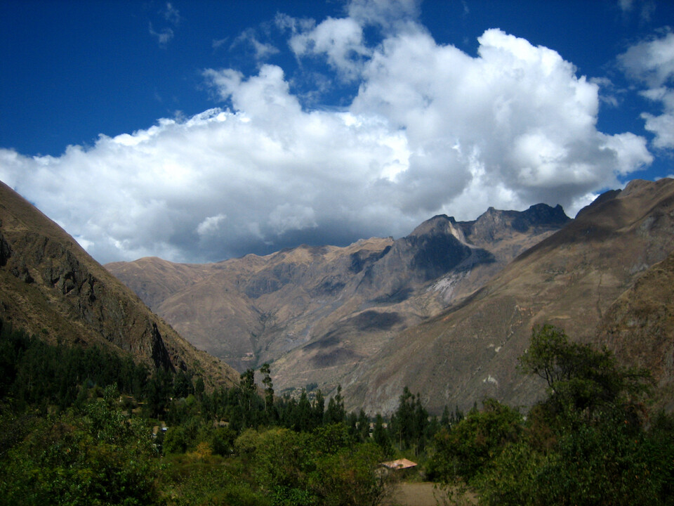
From Urubamba, we caught the bus heading to Santa Maria and Quillabamba. This is past Ollantaytambo and the scenery was quite pleasing.
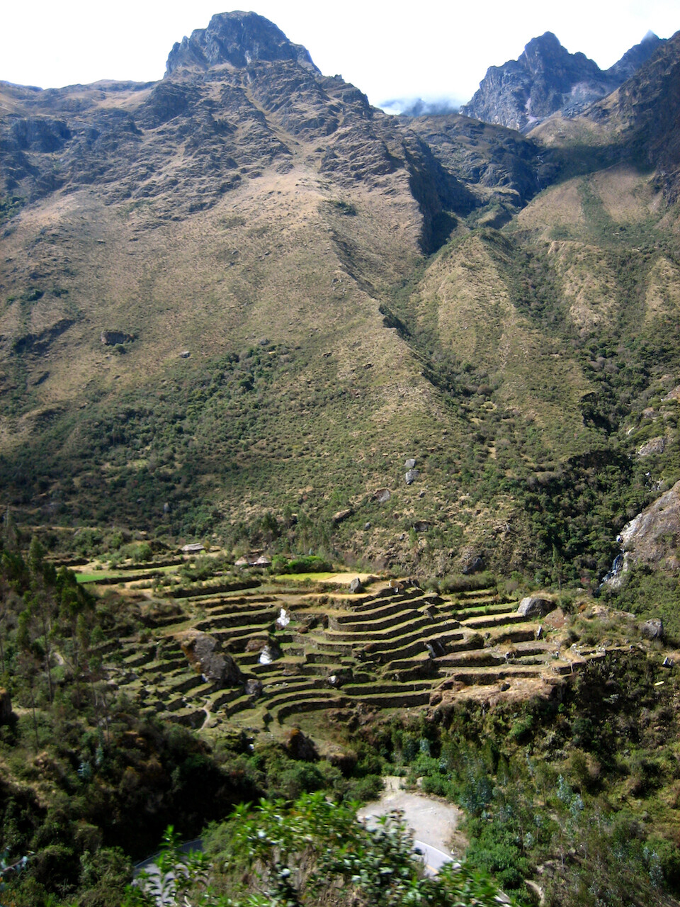
Terraced farms. The downside to being in a bus was not getting as many photo opportunities compared to the freedom on a bike.
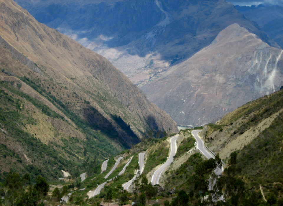
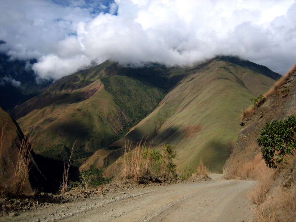
The road climbed up high, probably close to 4,000 m (13,100 ft).
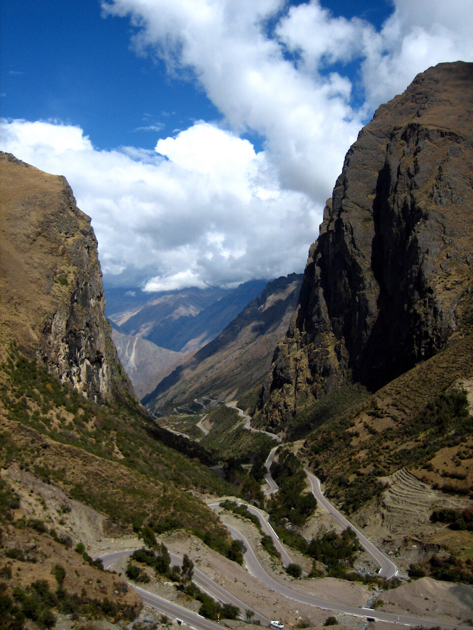
Close to the summit after passing through this high valley.
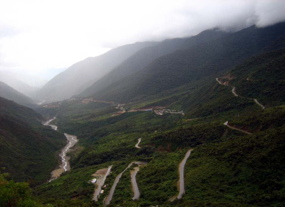
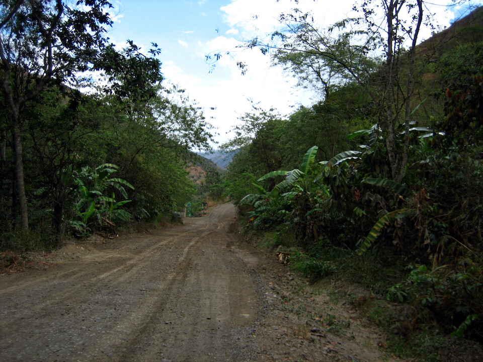
Coming down the eastern side of the Andes, which was more lush.
Taking photos from the back window of the bus of the dirt road, which got muddy with some rain.
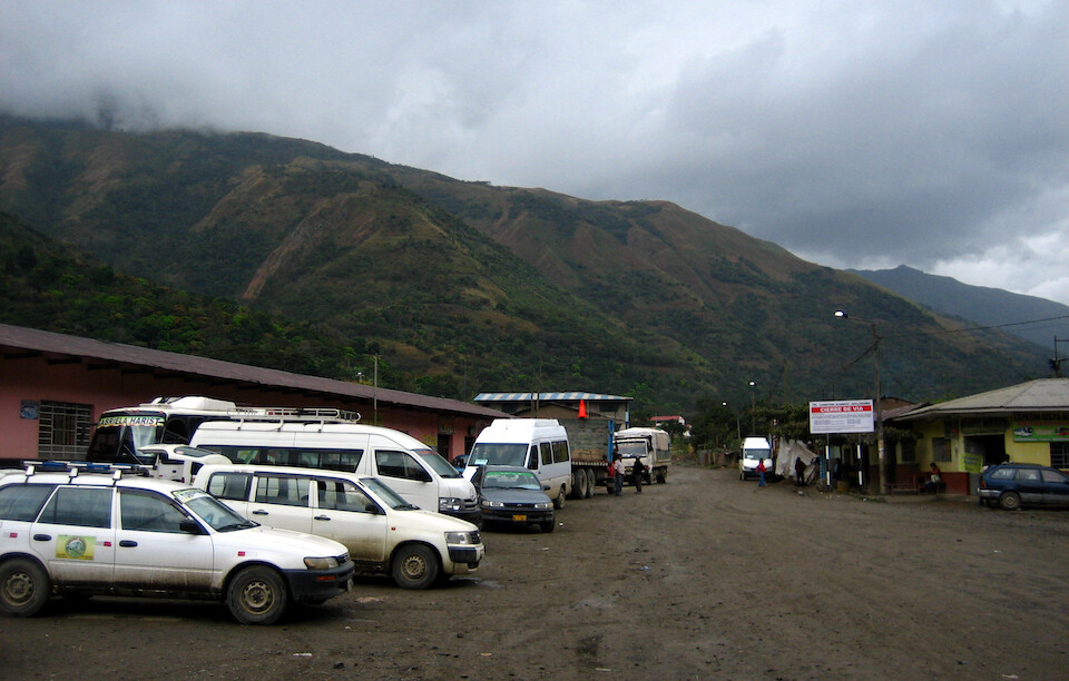
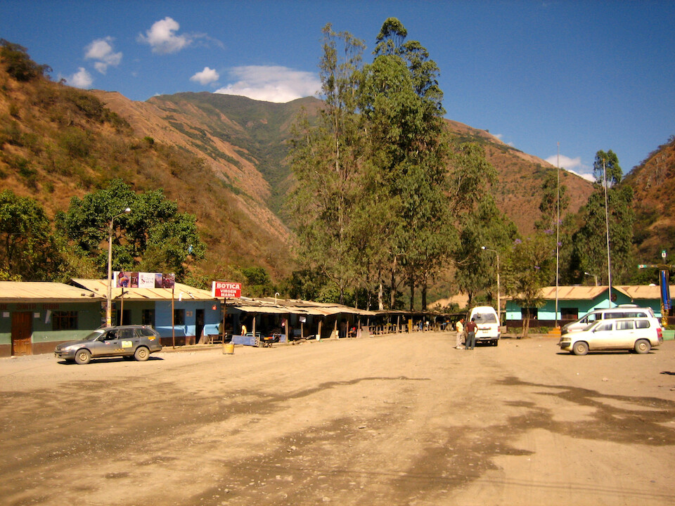
Getting off at the small town of Santa Maria, where we then took this first white station wagon inside to Santa Teresa. The rural transport comprises of mini-buses and station wagons, second-hand imports from Japan that are converted from right to left-hand drive.
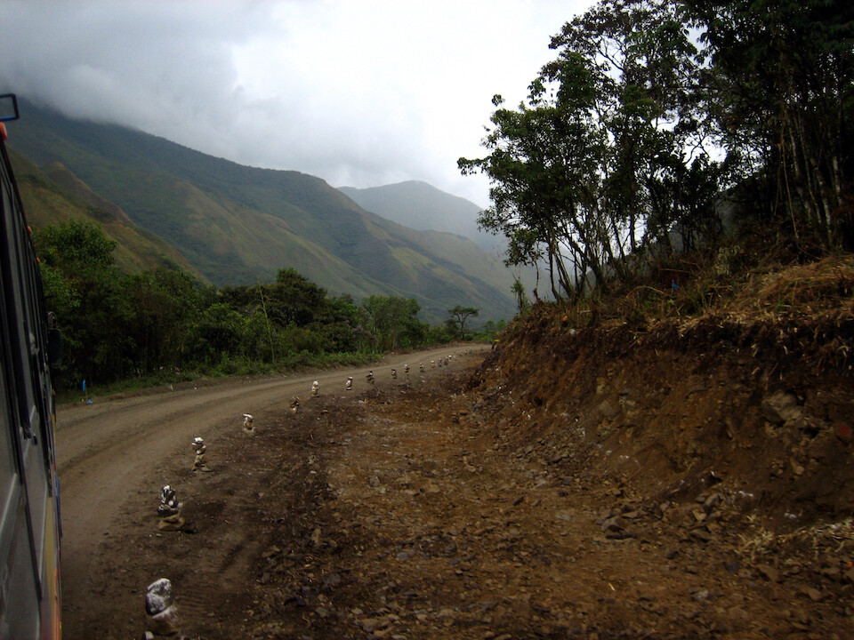
Heading out of Santa Maria. We had dropped quite low in elevation by now, close to 1,500 m (4,900 ft). I don't know exactly because I didn't have my GPS with me.
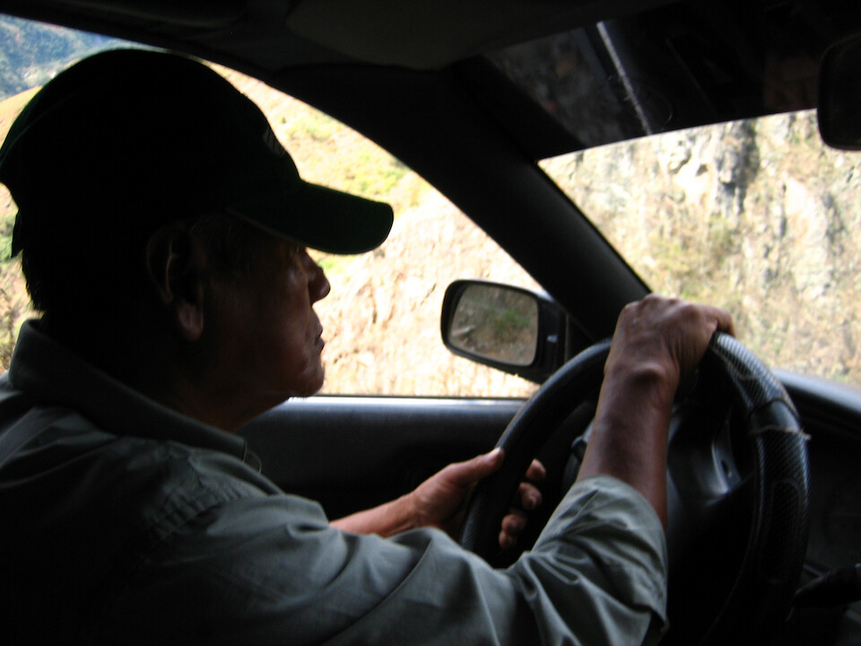
Our driver, who was actually very tame and drove sensibly, instead of the maniacs who usually drive like they're in a rally race.
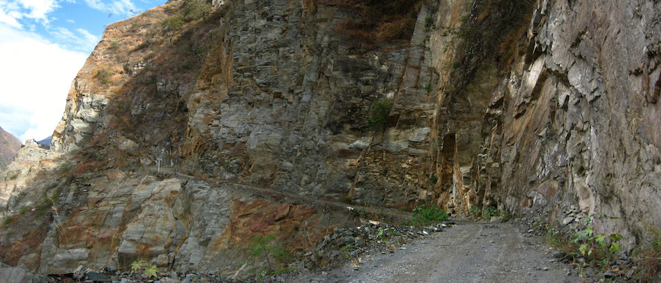
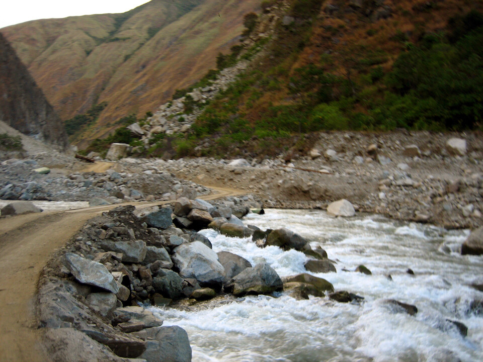
The drive was beautiful along this rocky cliff.
The road was running along the Rio Urubamba, the same river running around Machu Picchu up ahead.
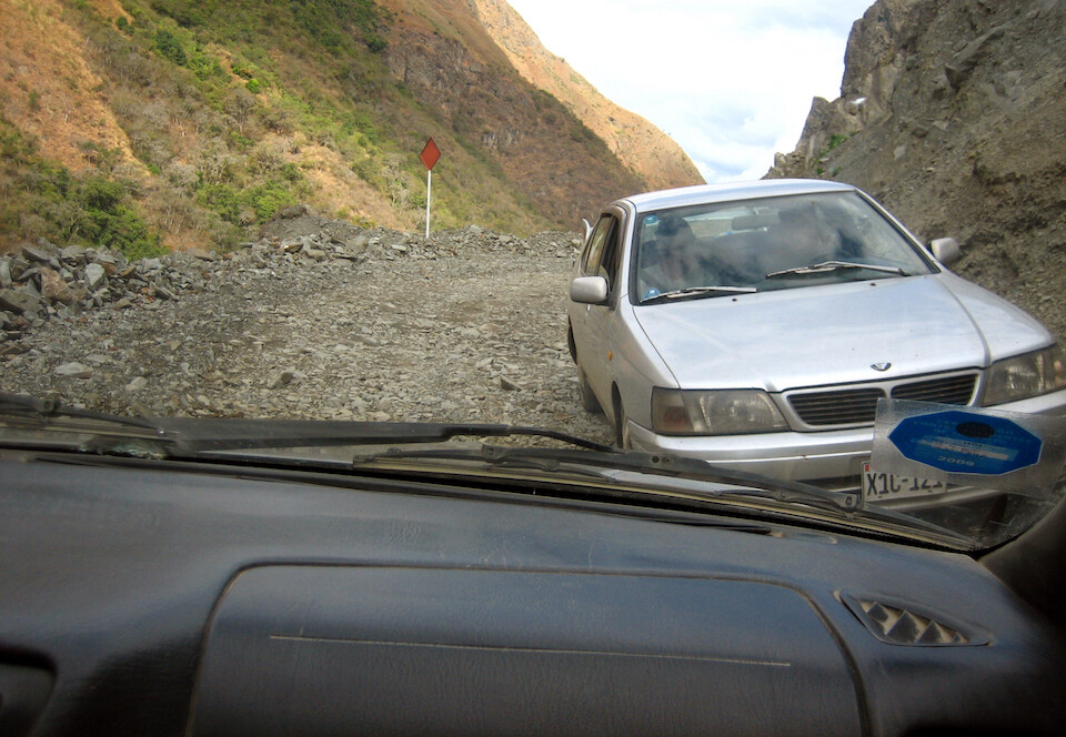
Meeting on-coming traffic and there was a bit of power-play to see who would back up to let the other guy through. We won.
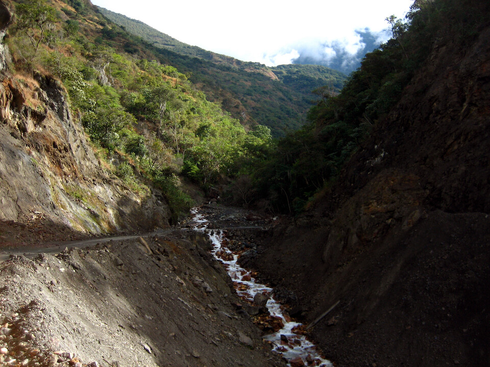
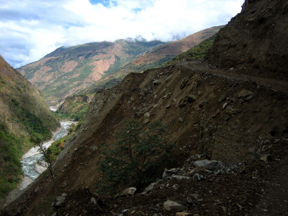
Waterfalls were flowing across the road and there were a few deep crossings, but nothing the Toyota couldn't handle.
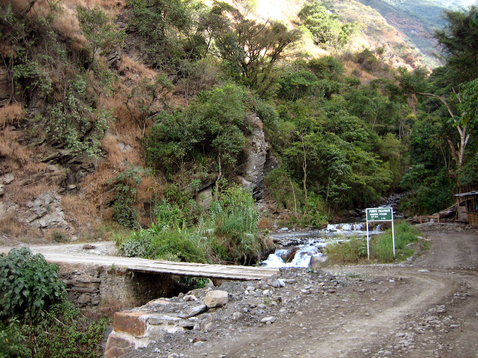
Slowing down for some one-way narrow bridges.
Waterfalls over rocks. The driver was very nice and stopped whenever we wanted to take pictures.
Getting into Santa Teresa. The drive from Santa Maria was quite enjoyable and worth it to come this way.
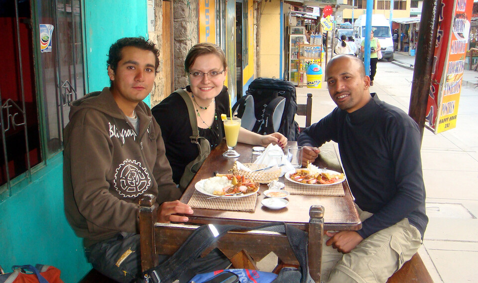
Having some late lunch in Santa Teresa with Marie from France. We rode with her from Santa Maria and would be going to Aguas Calientes with her. She's doing an international business internship in Lima.
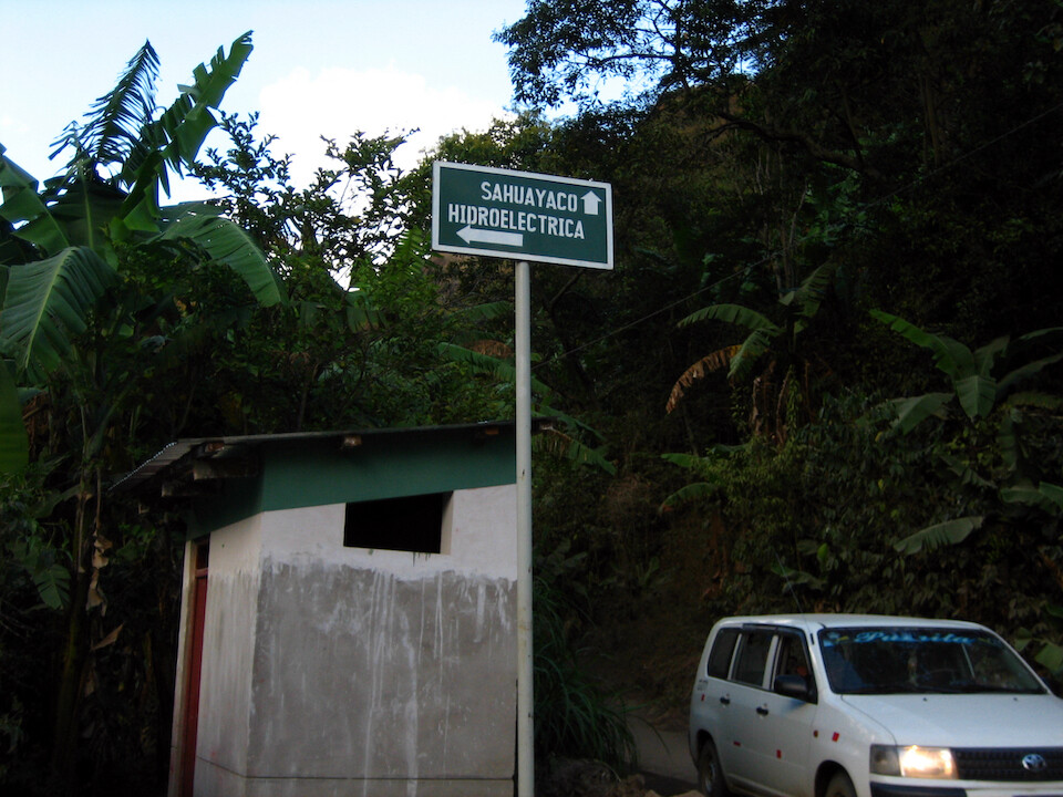
From Santa Teresa, there's transportation to the local hydro electric plant
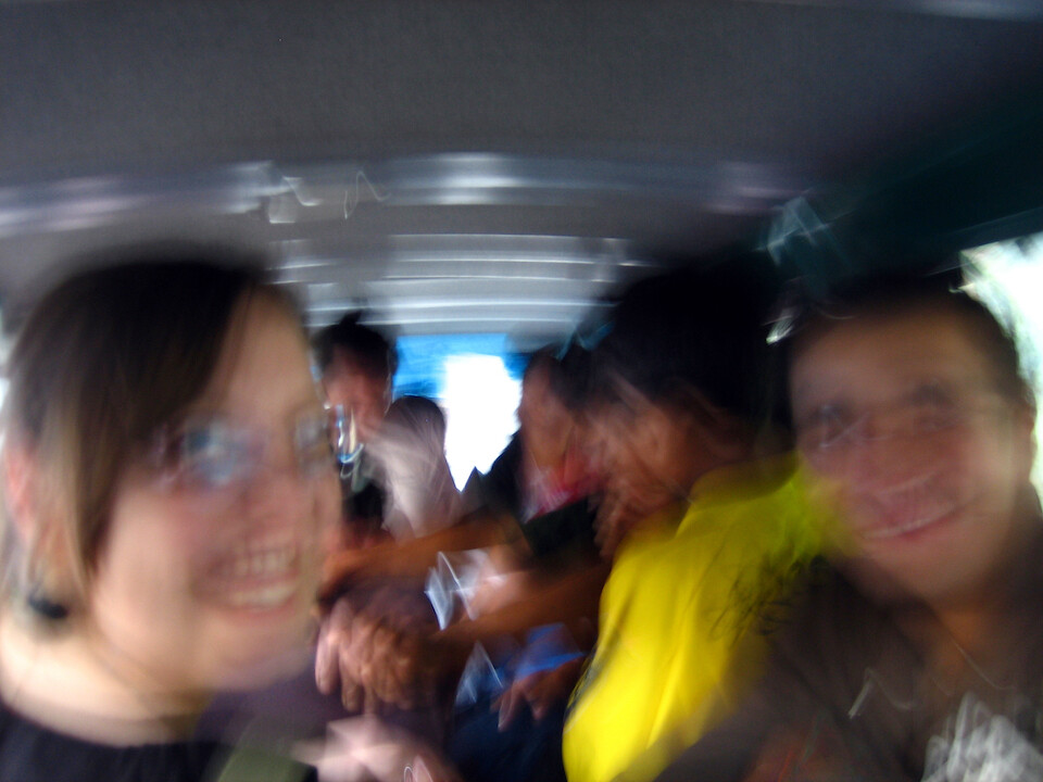
Taking a collectivo (mini bus) to Hidroelectrica over the bumpy, rocky road.
It was a nice ride along the river and the crossings were quite low in some places, probably inundating the road during the rainy season.
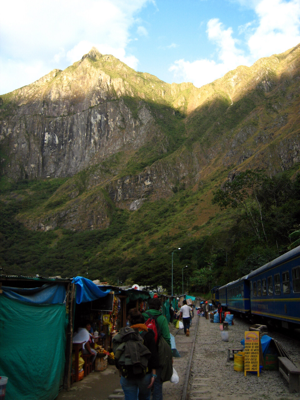
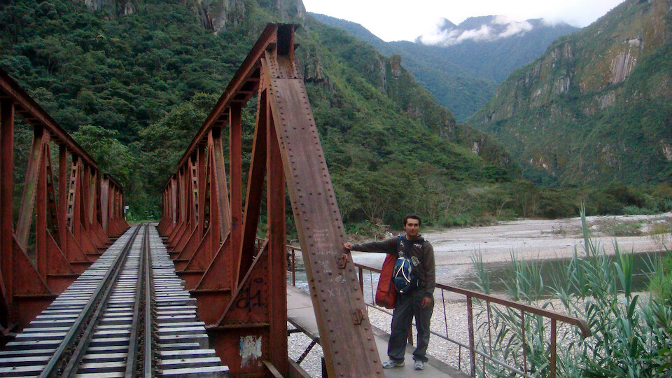
Arriving at Hidroelectrica, the closest roads get to Aguas Calientes. The peak up ahead is Mount Machu Picchu.
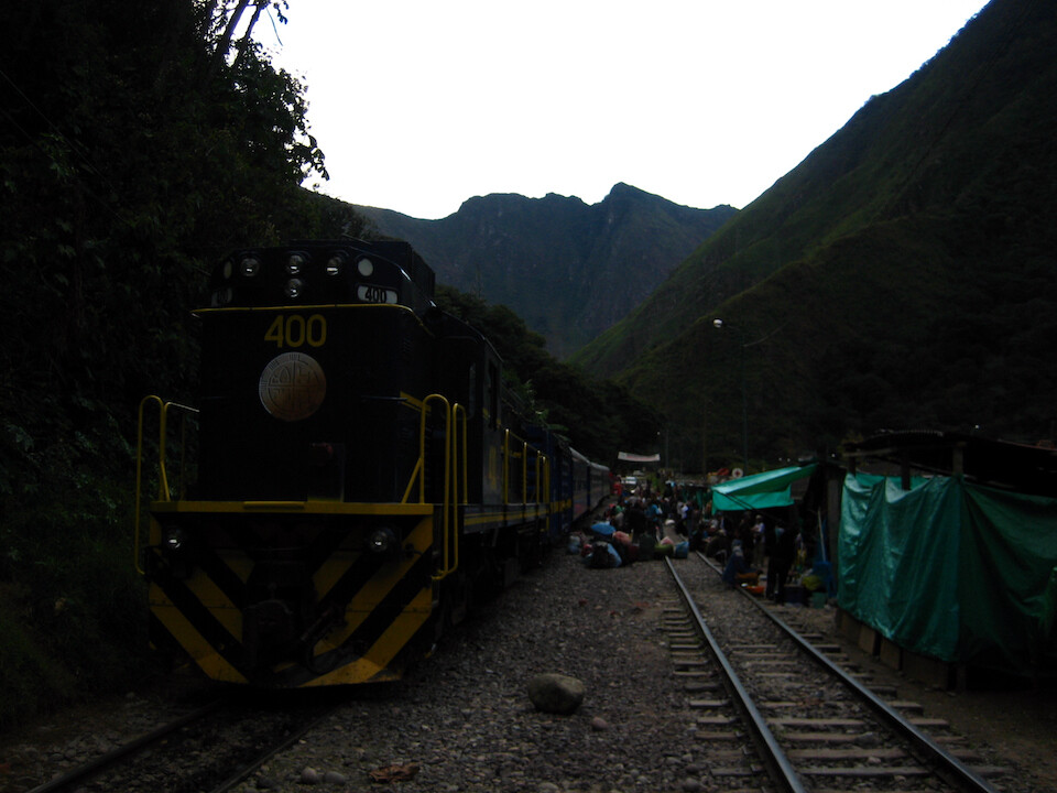
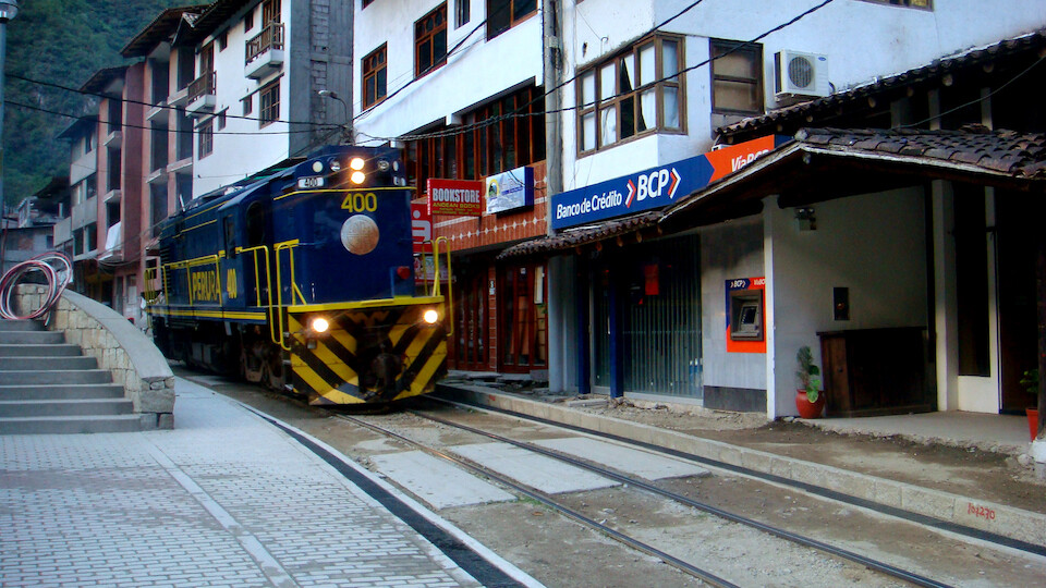
From here you can take this train to Aguas Calientes for around \$8, much cheaper for the locals, but...
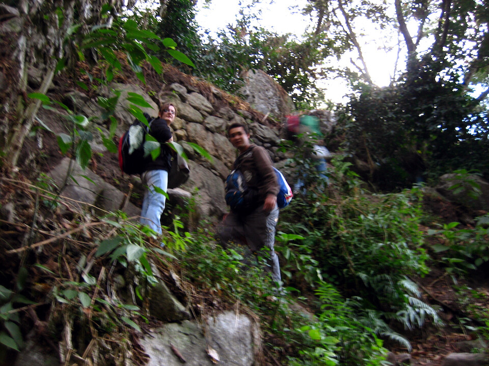
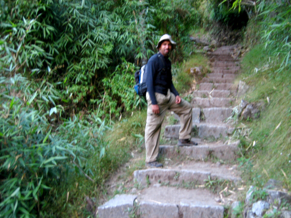
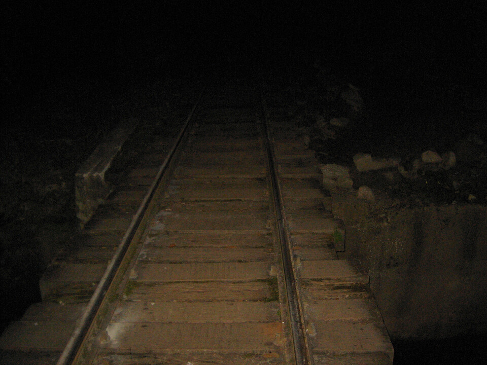
...we were hiking it. After a quick climb...
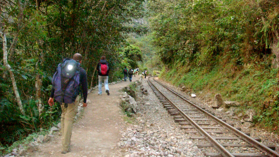
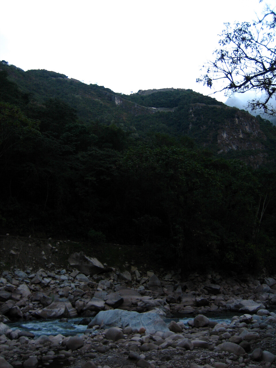
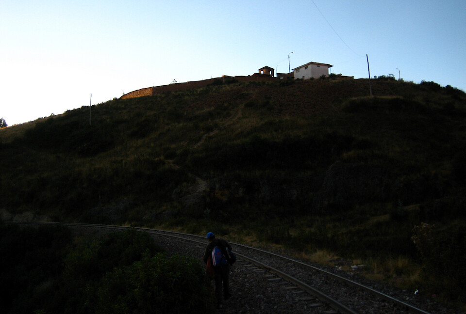
...the trail flattened out and followed the railway tracks into Aguas Calientes, about 20 kms (12.5 mi) away.
Crossing Rio Urubamba. The train leaves much later and actually rolled into town just when we got there.
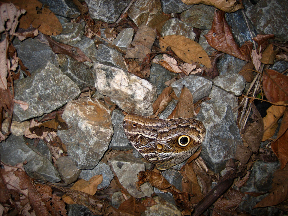
A wing from a butterfly among the dried leaves and rocks with a nice camouflage design of an eye to scare away predators.
It was about a two hour hike and it was fully dark by the time we arrived in town.
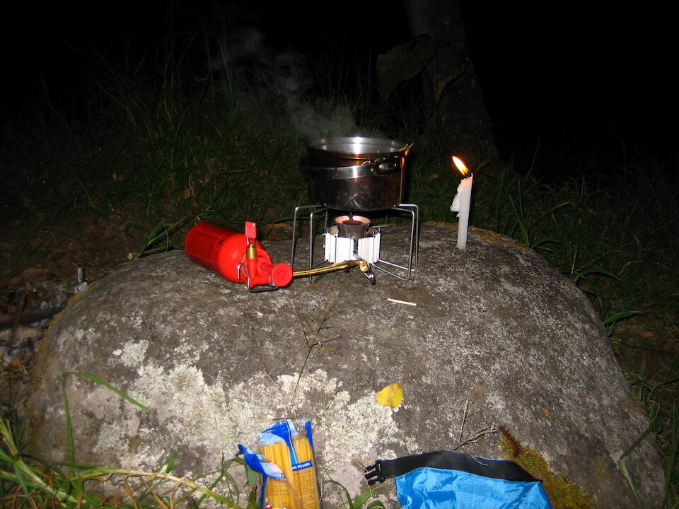
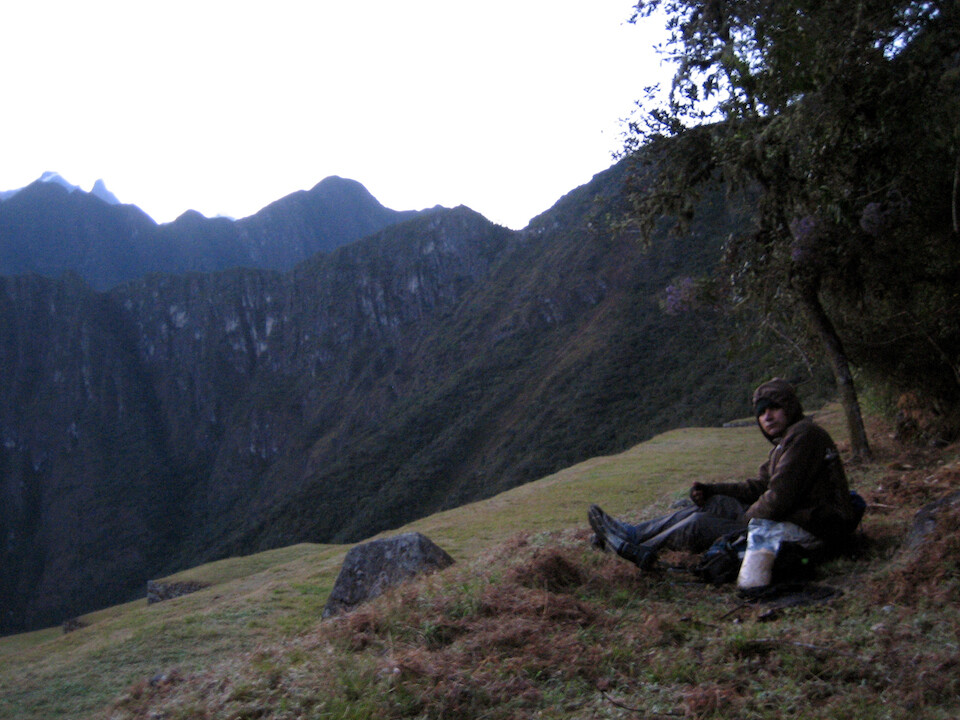
Carlos and I camped outside town and we're making dinner here of spaghetti with tomato sauce and tuna.
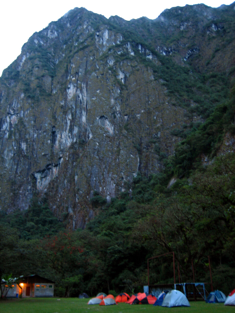
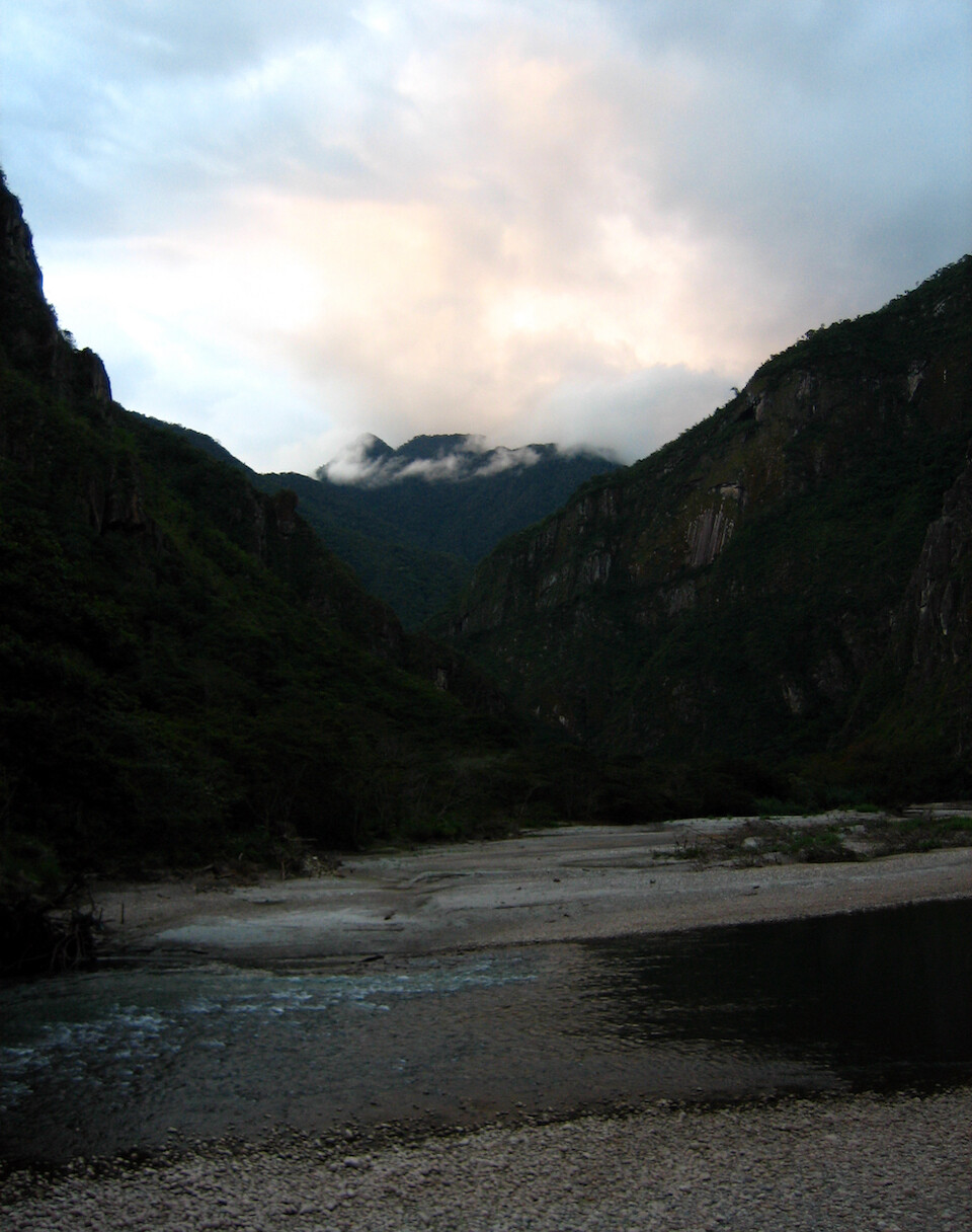
The campground is in a stunning location with vertical cliffs enclosing it.
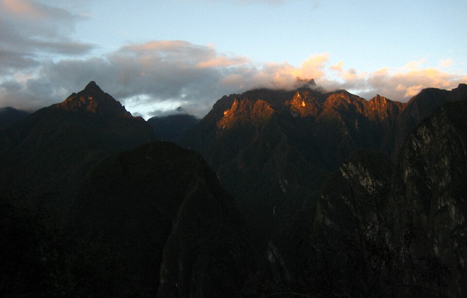
Sunrise over Aguas Calientes.
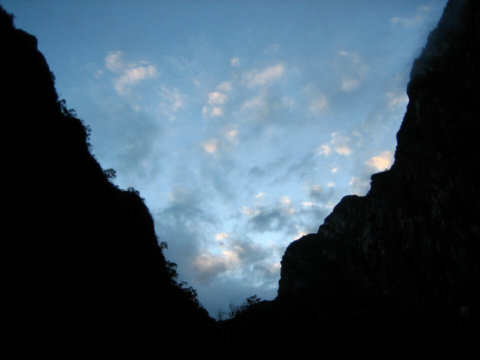
Ethereal clouds rising with the sun.
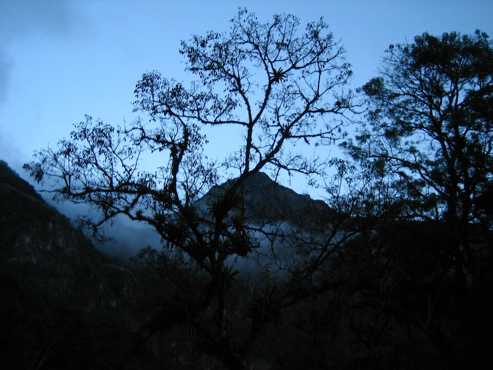
Looking across the river to the mountain on top of which Machu Picchu sits. We wanted to be in Machu Picchu for sunrise, so we were taking it easy today in town and going to head up tomorrow morning.
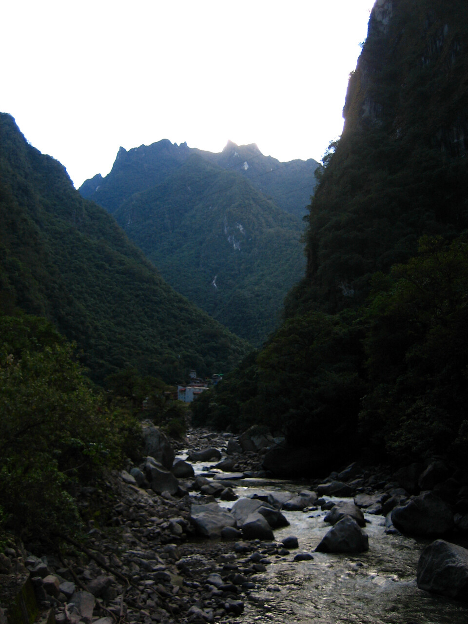
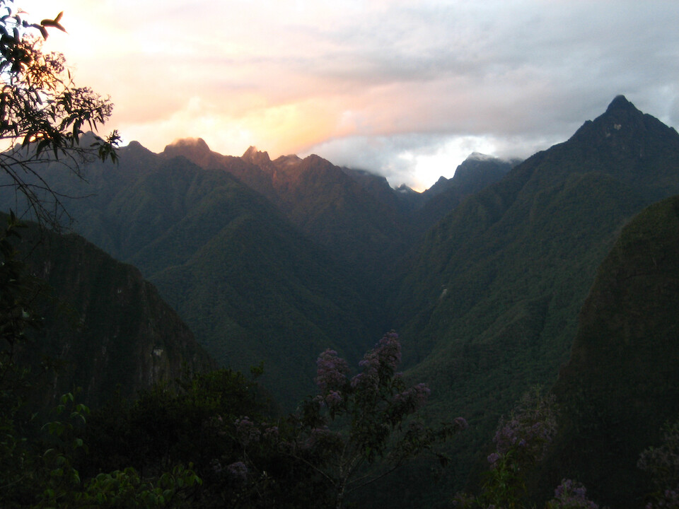
Looking up the river towards Aguas Calientes.
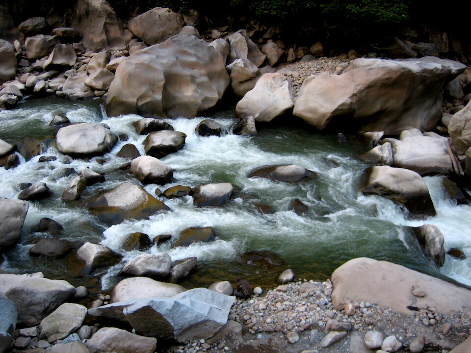
The fast-flowing Rio Urubamba cutting and shaping massive granite blocks.
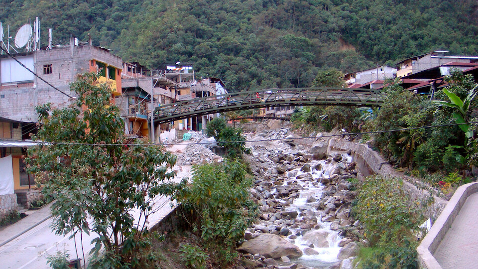
The tourism overrun town of Aguas Calientes, whose main business is tourists heading up to Machu Picchu.
This is also where the $156 round-trip train ride from Cusco comes to. Taking the buses and hiking costs around $20 round-trip.
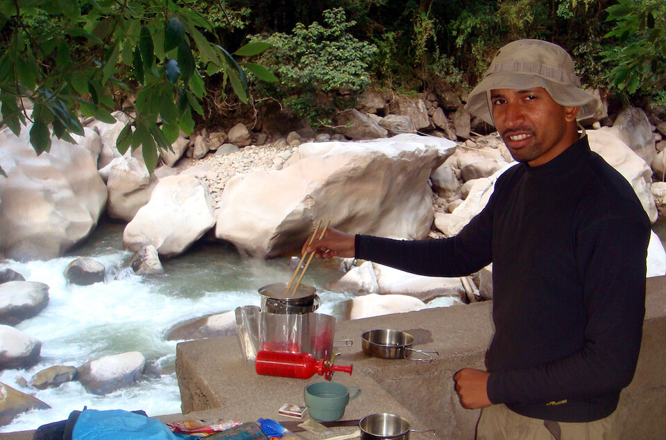
Making some lunch in a park by the river before we caught the World Cup football finals match between Spain and The Netherlands.
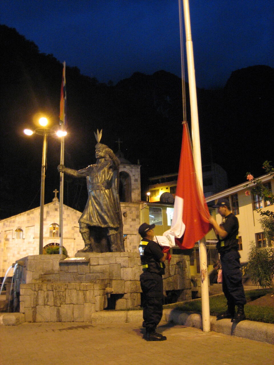
The police ceremoniously lowering the national Peruvian flag and the Inca flag in the central plaza as darkness fell.
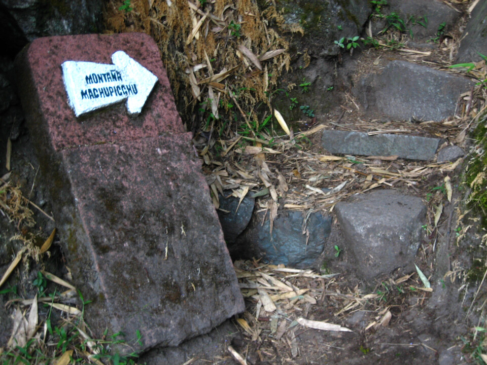
We got up at 3 am the next day and started the two hour hike up the mountain to Machu Picchu in the darkness.
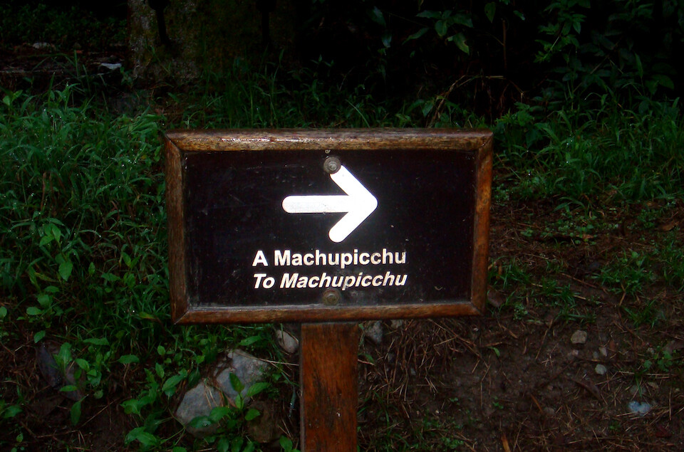
Signs indicated which way the trail went, but basically you just keep going up.
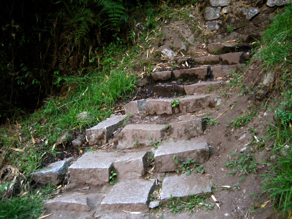
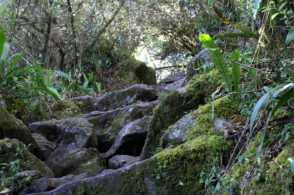
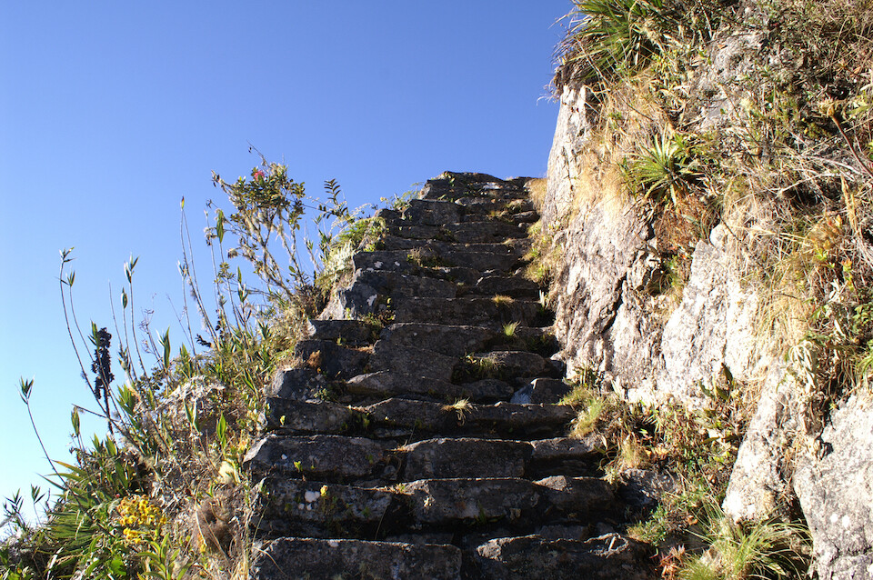
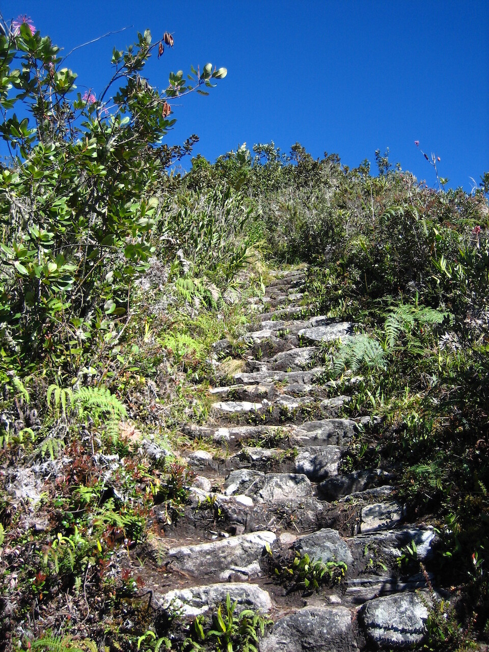
The stairs leading up the mountain to Machu Picchu. (These pictures were taken later in the day.) We had flashlights but we could navigate just with the starlight. There was no moon and the clear skies allowed plenty of starlight to illuminate the ground.
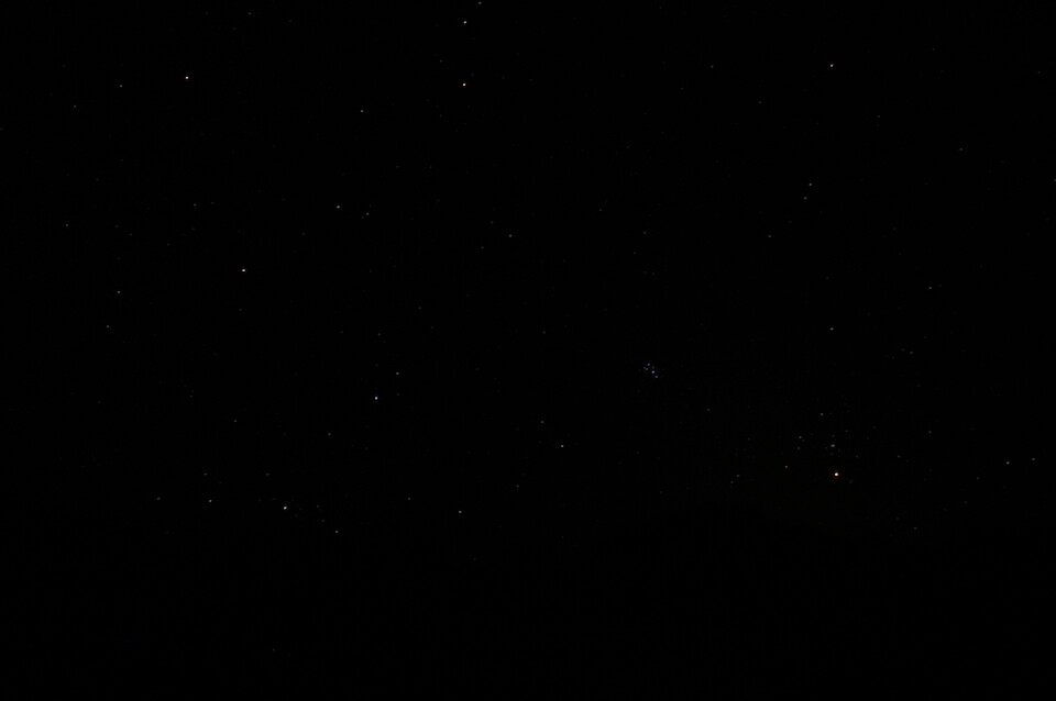
We reached Machu Picchu and it was still dark at 5 am. A picture of some stars. The glob near the middle is the Pleiades cluster, also known as the Seven Sisters. I got this picture with a 30 second exposure (maximum) on my SLR.
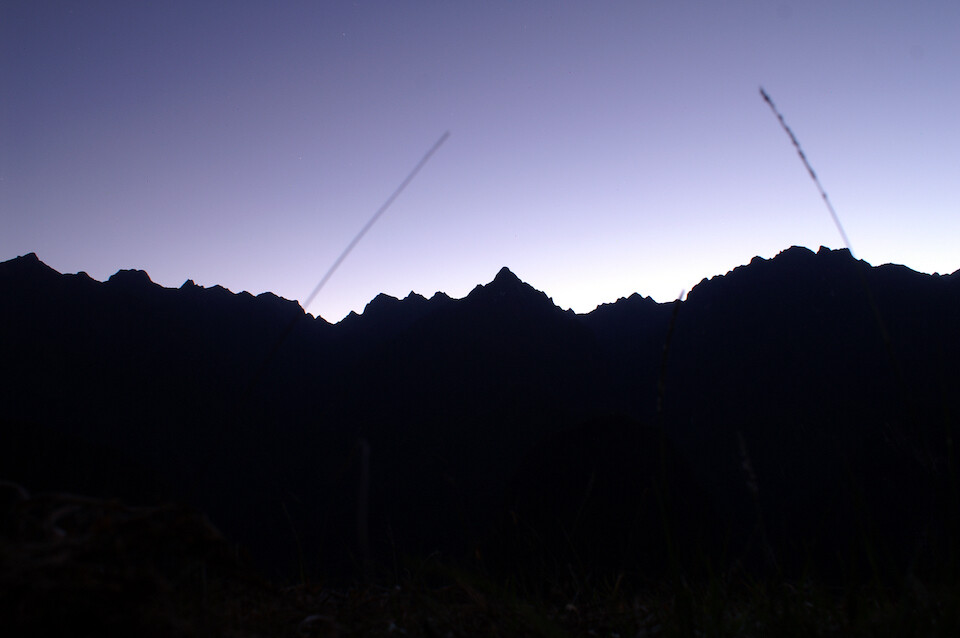
The first rays of the new sun. We could see so much more than I was able to capture on film and it was a lovely experience to see the valley change from being visible just under starlight to the blinding power of our one nearby star, the Sun.
Carlos, waking up from a nap on one of the agricultural terraces at Machu Picchu, where we waited for the sunrise. It got very cold just before dawn.
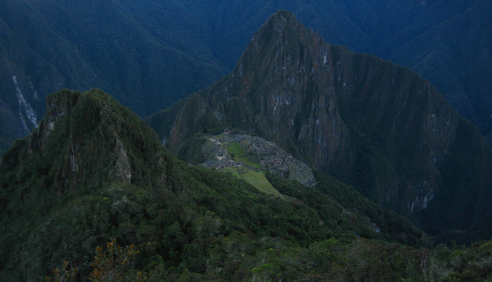
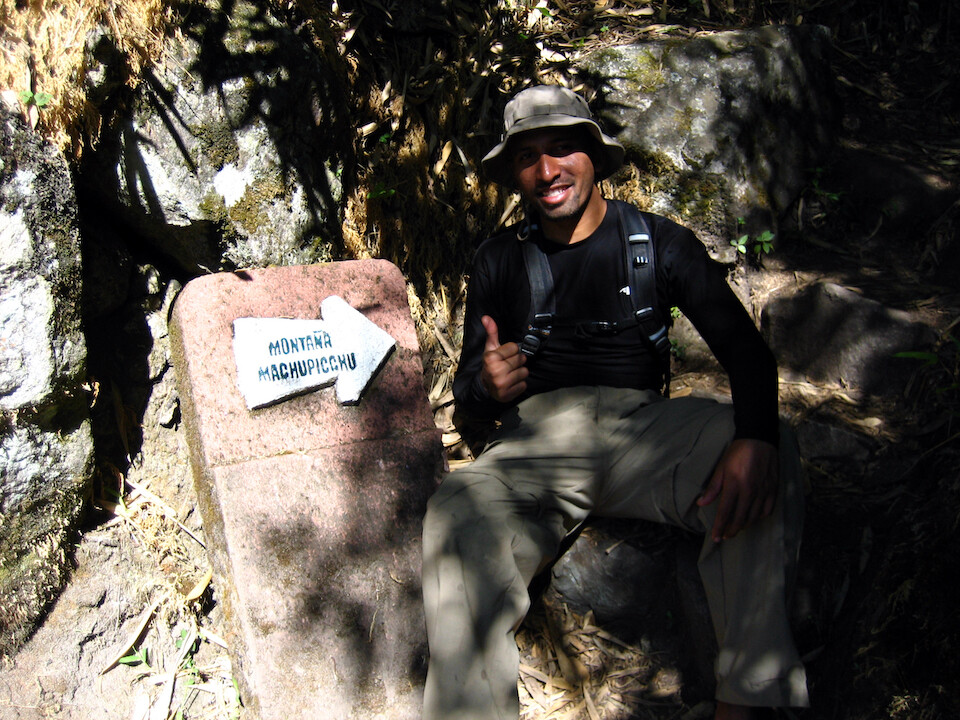
We decided to climb further up to Mount Machu Picchu for a 360 degree view of the area.
Looking back at the ruins from halfway up, where the sun hadn't shone yet.
The steps were a bit dicey in some sections, but it made for an interesting climb.
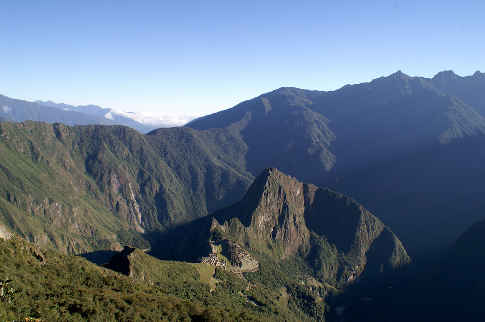
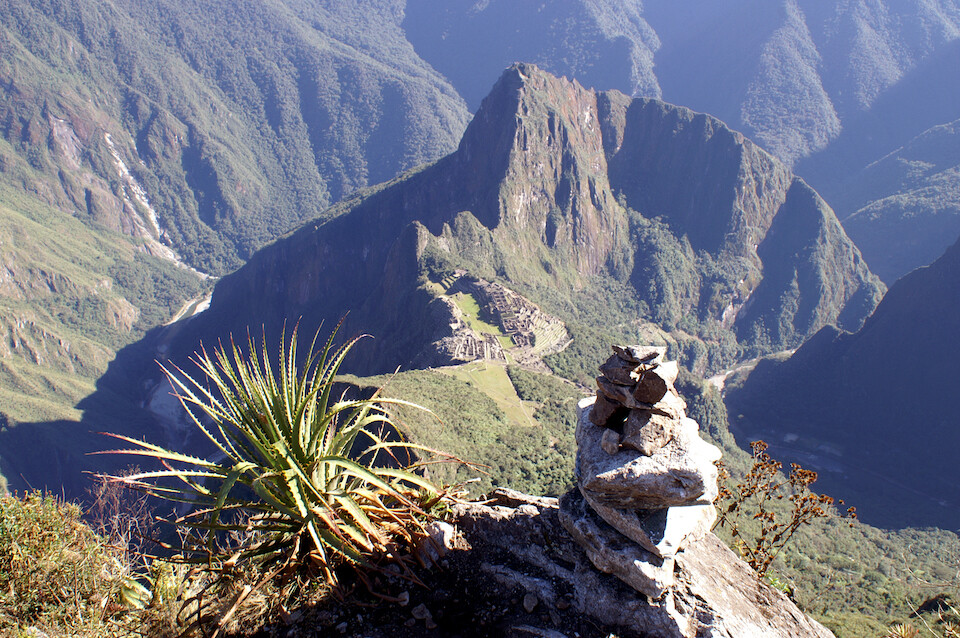
A view from almost near the top with the sun now shining on Machu Picchu and what sticks out the most for me is the head of the Inca. We're looking at the profile with the Inca lying on his back - the nose is Wayna Picchu (the peak close to the ruins) and the shadowed area to the right is the left eye.
Steps getting us ever closer to the summit.
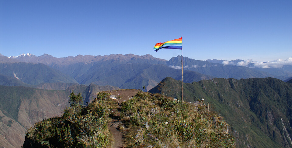
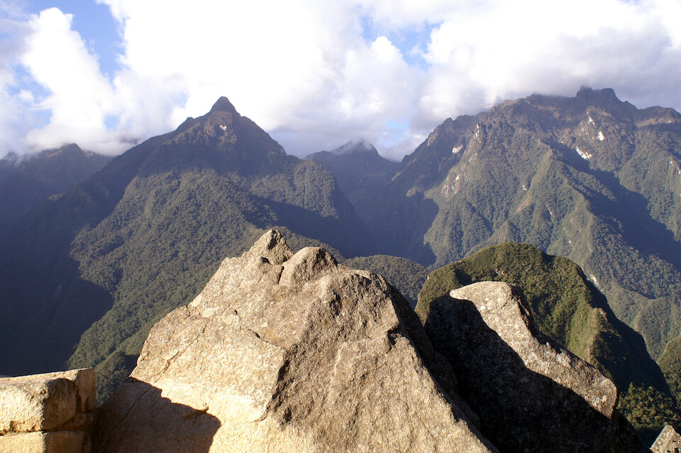
At the summit of Mount Machu Picchu at 3,050 m (10,000 ft), a 1,525 m (5,000 ft) climb from Agua Calientes. No, that's not the gay-pride flag. It's the flag of the Incas, developed in the 1970s to represent the arco iris (rainbow), which was sacred to the Incas. This flag pole looked really small from the ruins, but it's actually about 15 m (50 ft) tall.
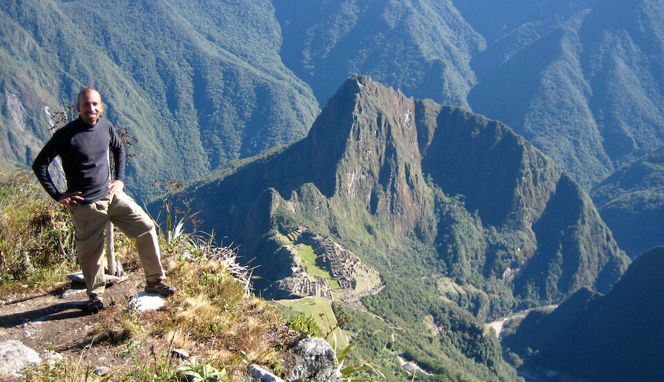
With Machu Picchu down below and the head of the Inca from the summit.
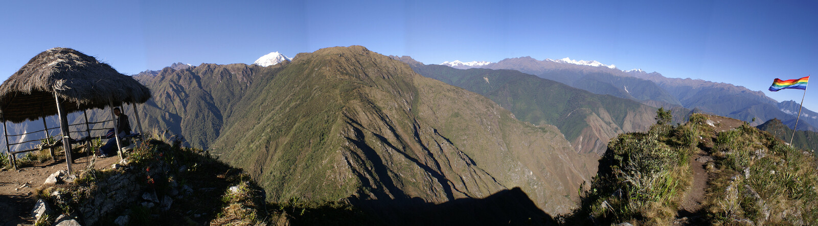
Panorama looking behind Machu Picchu at some of the snow peaks in the distance.
Click here to see the high resolution version.
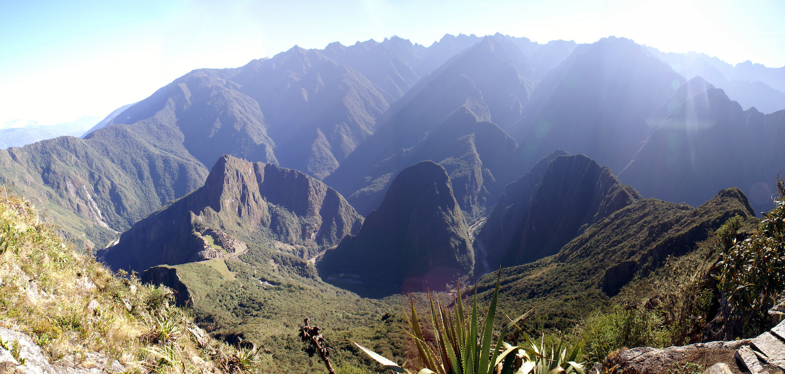
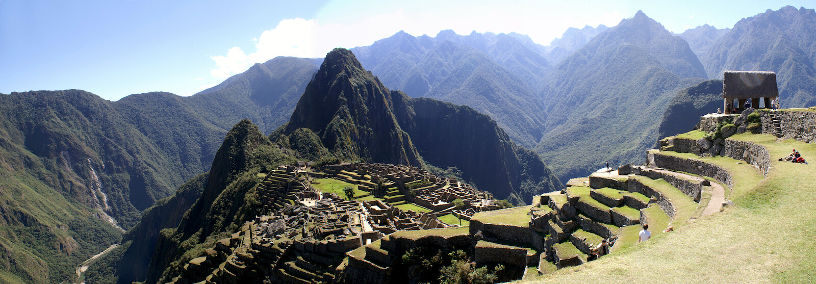
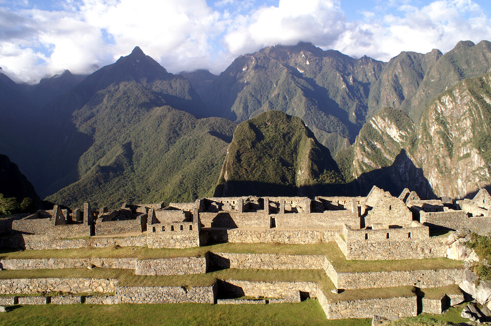
Panorama looking at Machu Picchu and the valley it sits in. The Rio Urubamba flows around the whole mount, except the side connecting it with the summit I'm on. The town of Aguas Calientes is on the right, deep in the valley.
Click here to see the high resolution version.
Framing the ruins and the Inca head between some plants and rocks, which is all that's left now here.
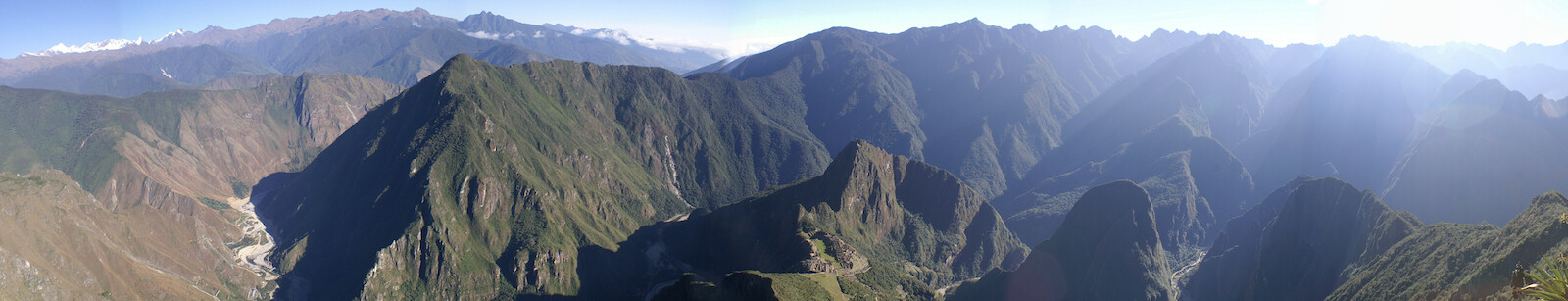
A wider panorama of Machu Picchu (center), with Hidroelectrica on the left. So, we hiked from there all along the river to Aguas Calientes on the right, about 20 kms (12.5 mi) away.
Click here to see the high resolution version.
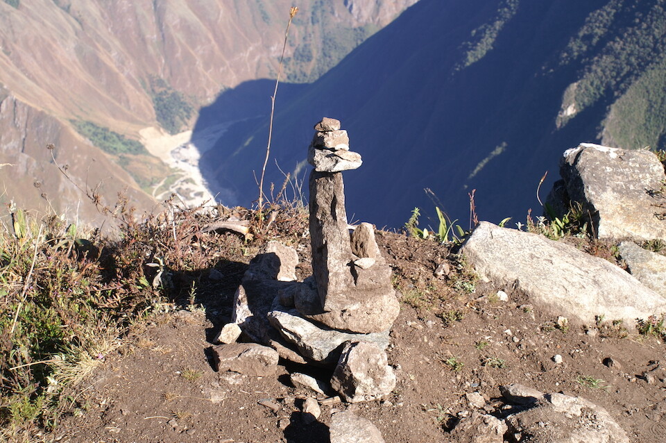
A stone sculpture at the summit.
Heading back down to the ruins.
Happy to make it back down. Now to see the actual ruins.
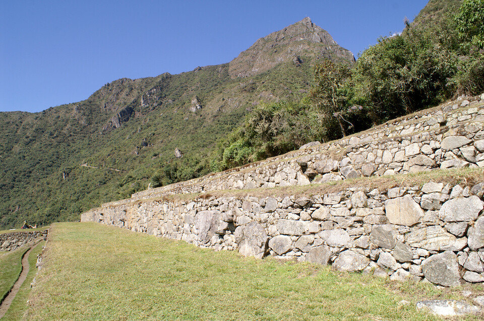
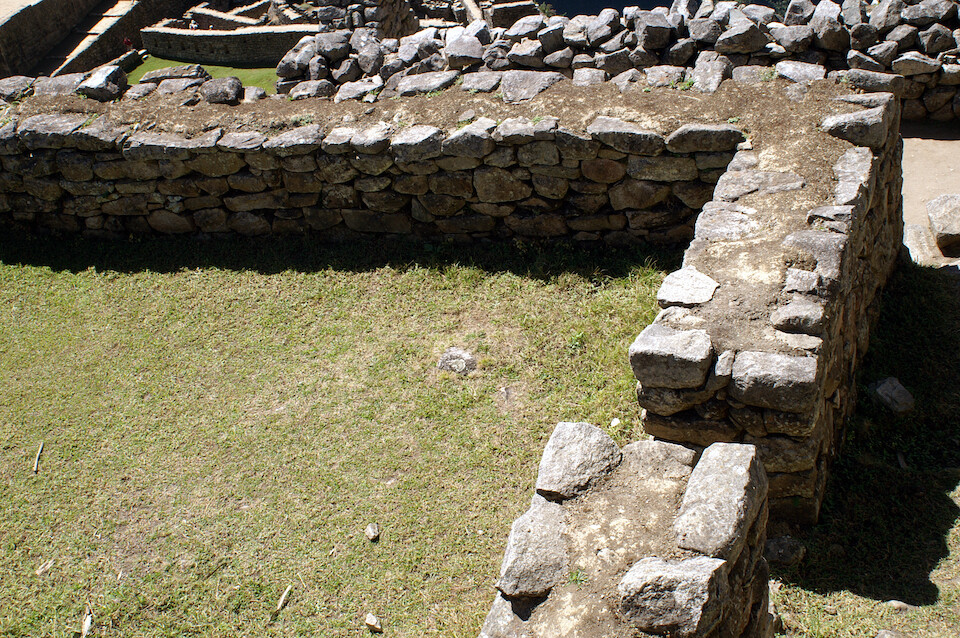
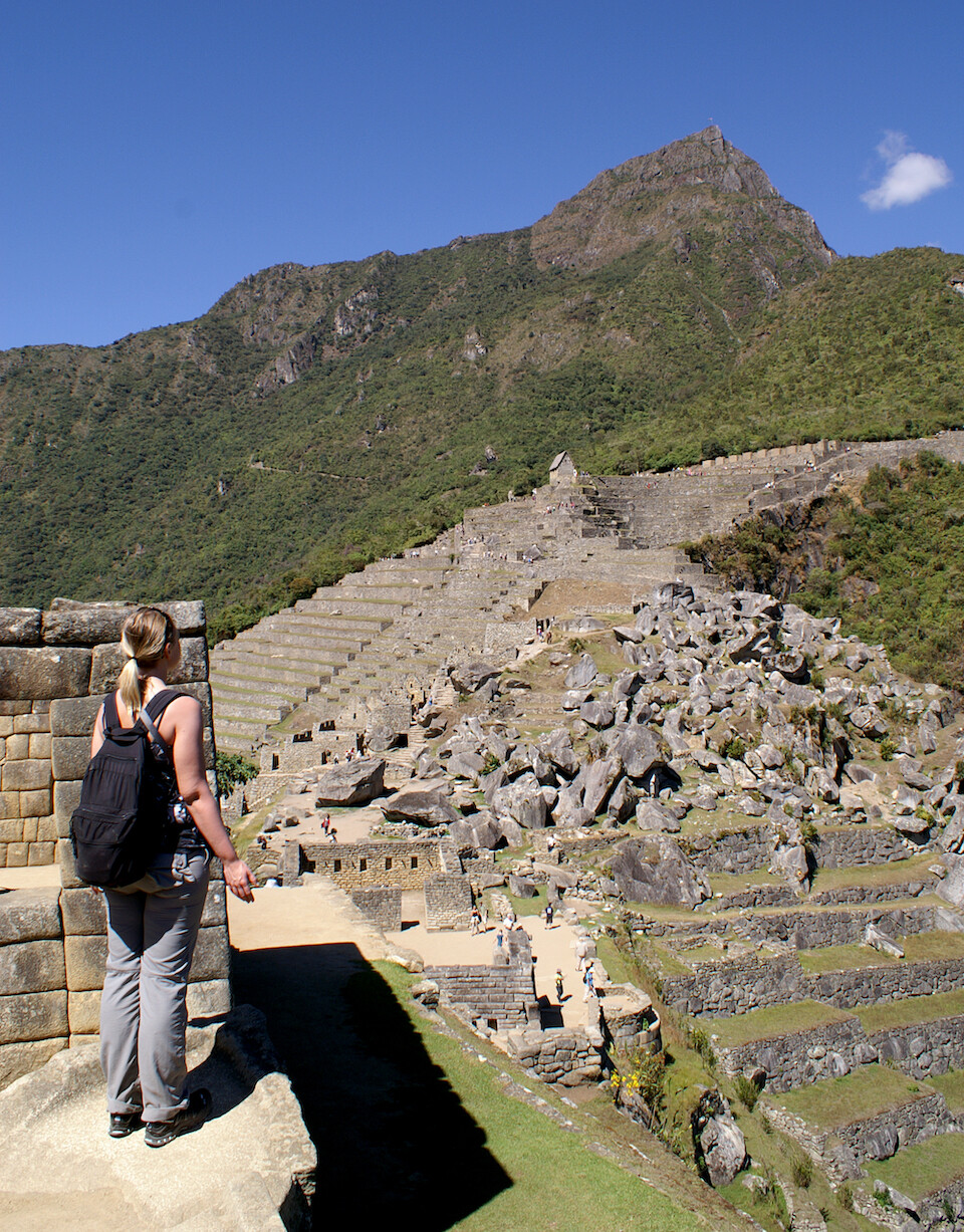
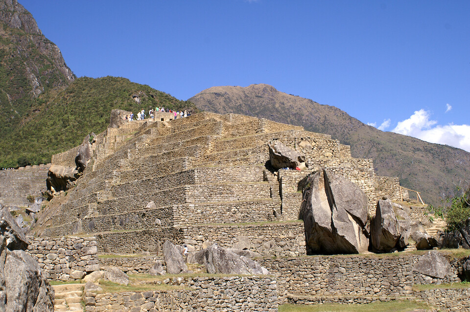
The terraces at the edge of the city, which were probably used for agriculture.
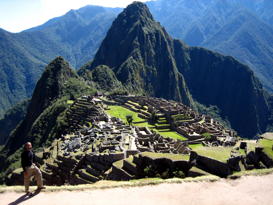
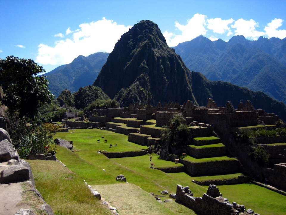
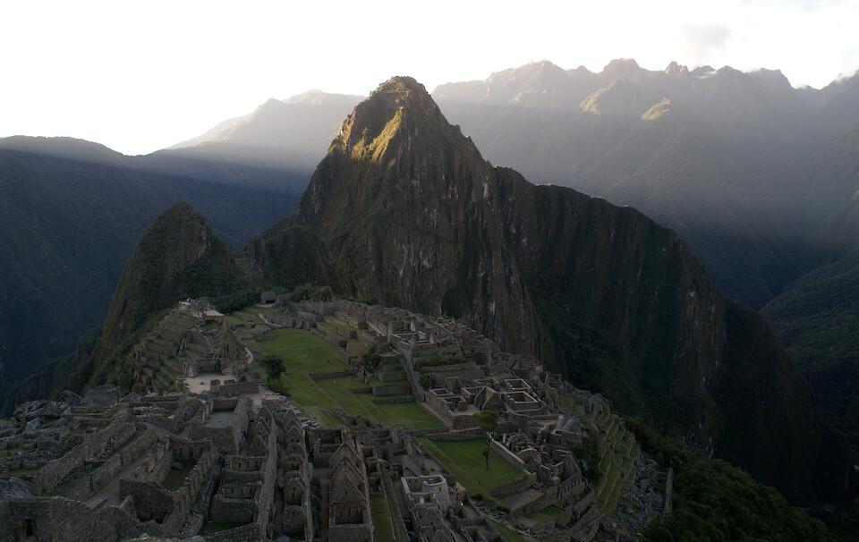
The postcard shot with the ruins of Machu Picchu and the peak of Wayna Picchu.
Panorama of the ruins with Rio Urubamba deep in the valley below and Hut of the Caretaker of the Funerary Rock on the right.
Click here to see the high resolution version.
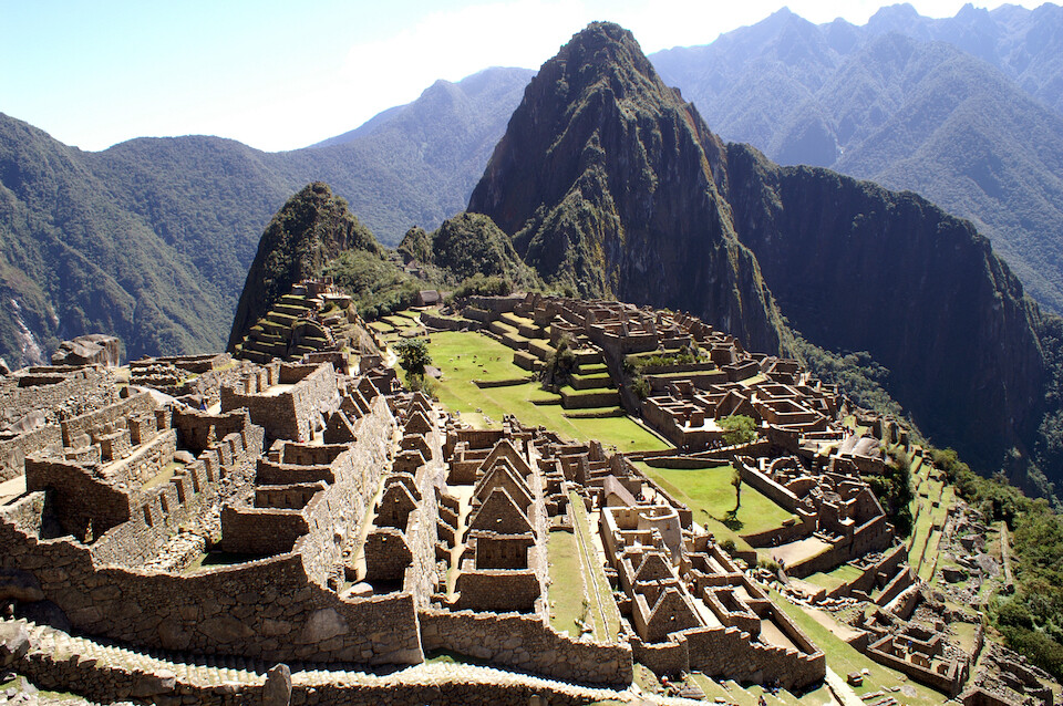
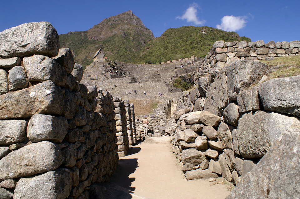
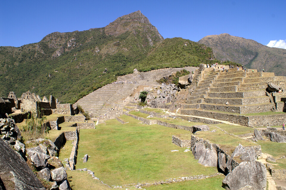
Residential quarters with the main city.
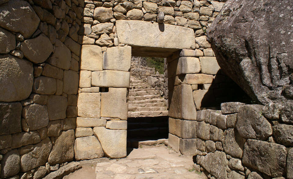
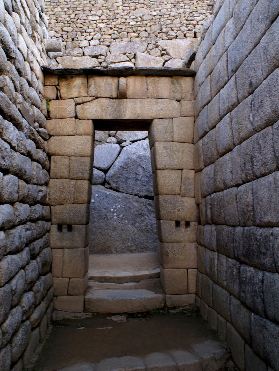
The entrance into the sacred part of the city.
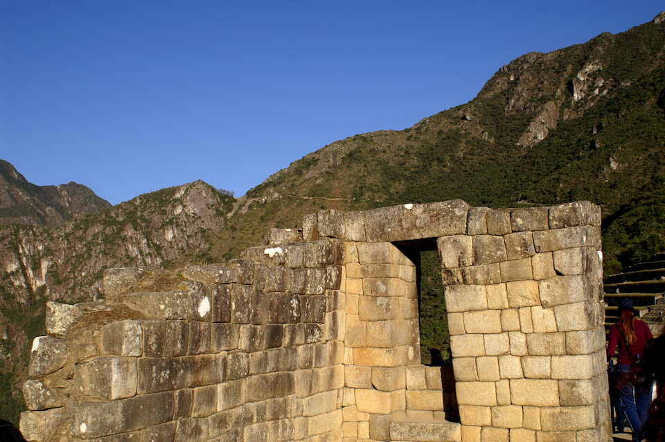
A framed window with the path leading to the Sun Gate behind in the mountain-side.
Foundation walls showing that the interiors of some buildings were mud-filled and not stone throughout. This might have helped as insulation against the cold.
A street in the city with a view of Mount Machu Picchu.
Looking across the central plaza towards Wayna Picchu.
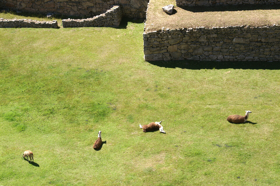
Llamas lazing around the grounds. They come and go as they want and they're quite used to humans by now.
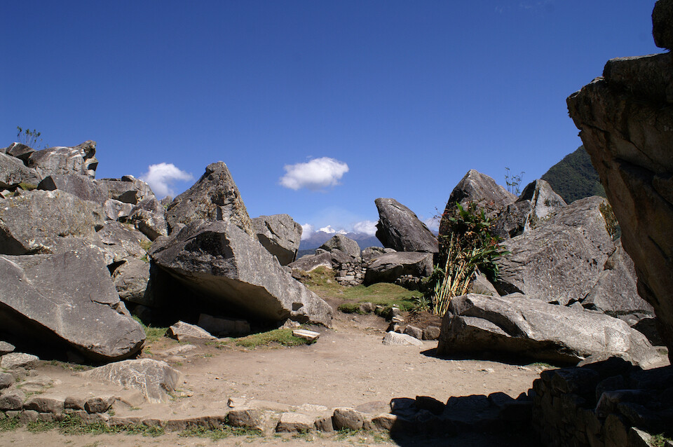
Scattered granite slabs at the edge of the city, which were probably going to be used for further construction.
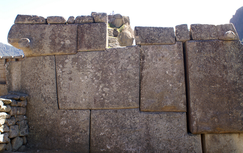
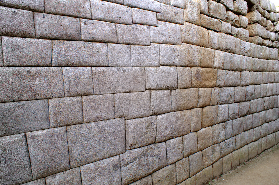
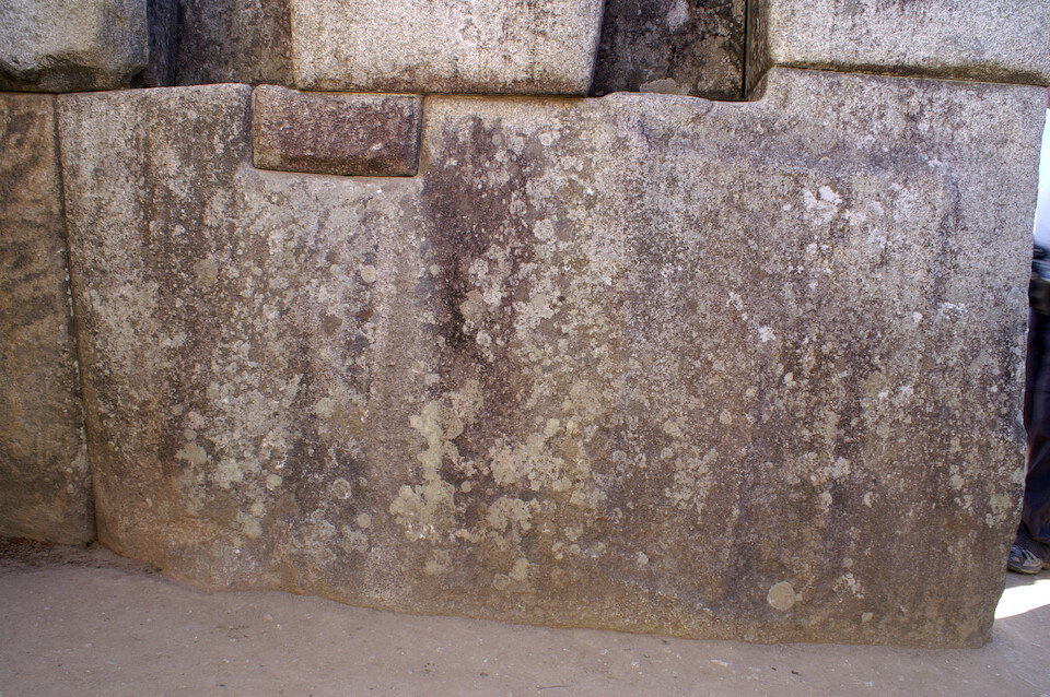
Just like in Cusco, impressive stonework abounds in Machu Picchu. The theory on how they could cut through these massive blocks of granite is that they used water and wood pulp in natural cracks in the rock to further encourage cracking (as the wood expands with water). But I don't know how they got such straight cuts with sharp angles.
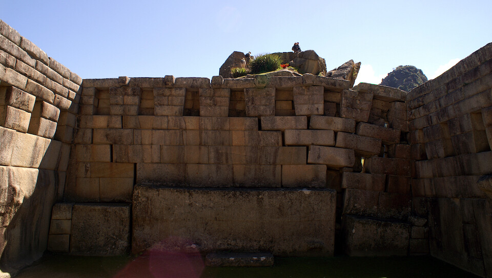
The Principal Temple. Loose ground or an earthquake probably caused the shift in the rocks on the right.
Another example of tight masonry with no mortar. They say you can't even get a blade of grass between the cracks.
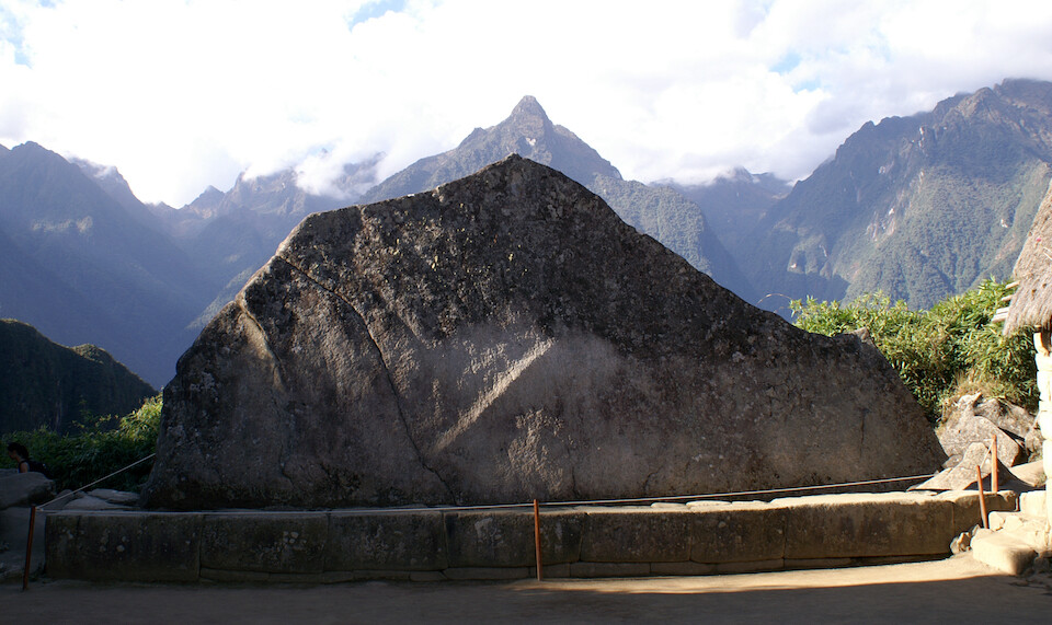
A sacred rock since it resembles the mountains behind it. They say the rock was not moved but found in this position and with no man-made cuts it had the shape of the background mountains.
Another sacred rock since it too resembles the mountain peak that it frames.
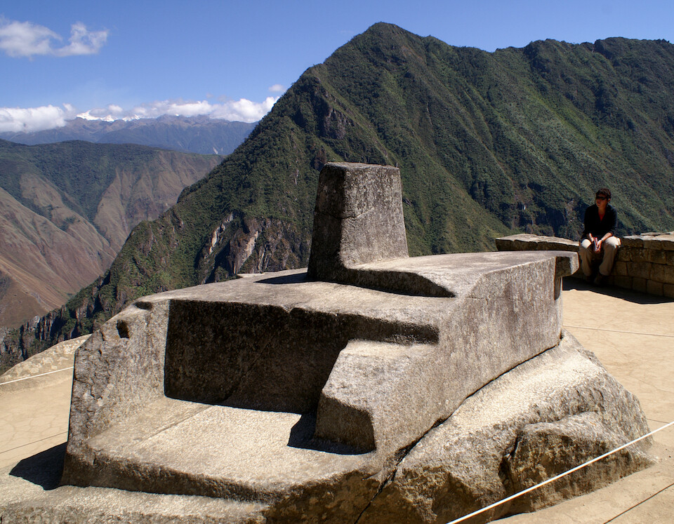
Intihuatana, hitching post of the sun, a carved rock of prime importance to the Incas. The Spanish destroyed most sculptures related to sun worship since they wanted to wipe out the blasphemous paganism and impose their Christianity. Intihuatana and Machu Picchu survived because the Spanish didn't know about this hard to get to site during their years of conquest. After the Incas abandoned the site probably in the 16th century, Machu Picchu was forgotten and taken over by the forest until her discovery in 1911 by Hiram Bingham.
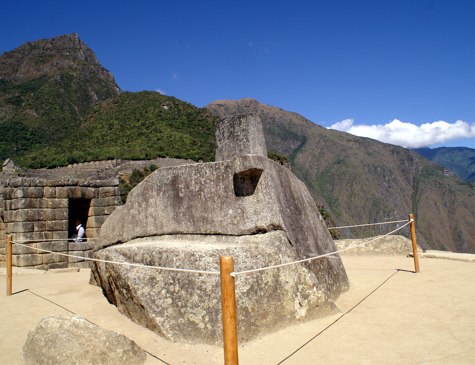
The stone was found at the top of this natural pyramid and carved into its present shape. It's believed to be a power center connected to one of the Earth's chakras (focus of energy).
The four sides of the tip of Intihuatana point to four mountain peaks surrounding the site. Initially thought to be a sundial, it's more related to the changing seasons with the solstices and equinoxes.
A girl following a tour guide's instructions on how if she stood at this corner, near Intihuatana and faced south and the peak of Mt Machu Picchu, and if she opened herself up and focused intensely on the peak, energy would flow into her, leaving a tingling in the fingers. I tired it and didn't feel anything.
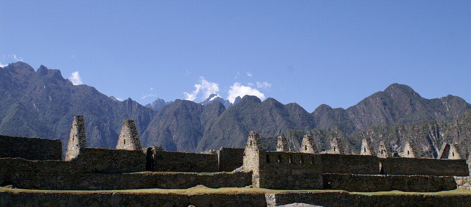
Roof-less buildings blending in with the surrounding mountains. The roofs were probably made of thatched grass.
The natural pyramid, upon which the stoned terraces were built on. Intihuatana sits at the top. The un-used granite blocks indicate that 1) the mystery of how all these stones were brought here was that they used whatever rocks they found in the area and 2) construction was still on-going when the site was abandoned.
A wider view with the pyramid and sacred sites on the right under Mt Machu Picchu. There was an obelisk in the center of this grassy plaza and in a show of indigenous pride, Alejandro Toledo, the country's first native Quecha-speaking president wanted to host his inauguration ceremony at Machu Picchu in 2001, so they removed the obelisk for his helicopter to be able to land. Doesn't seem right.
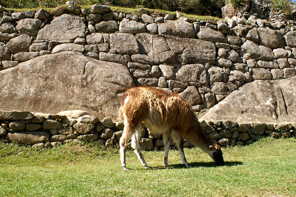
A llama, up close on the grounds of Machu Picchu. His ancestors probably roamed this area during the Inca days.
A granite block outside the principle site in the process of being split along its natural cracks.
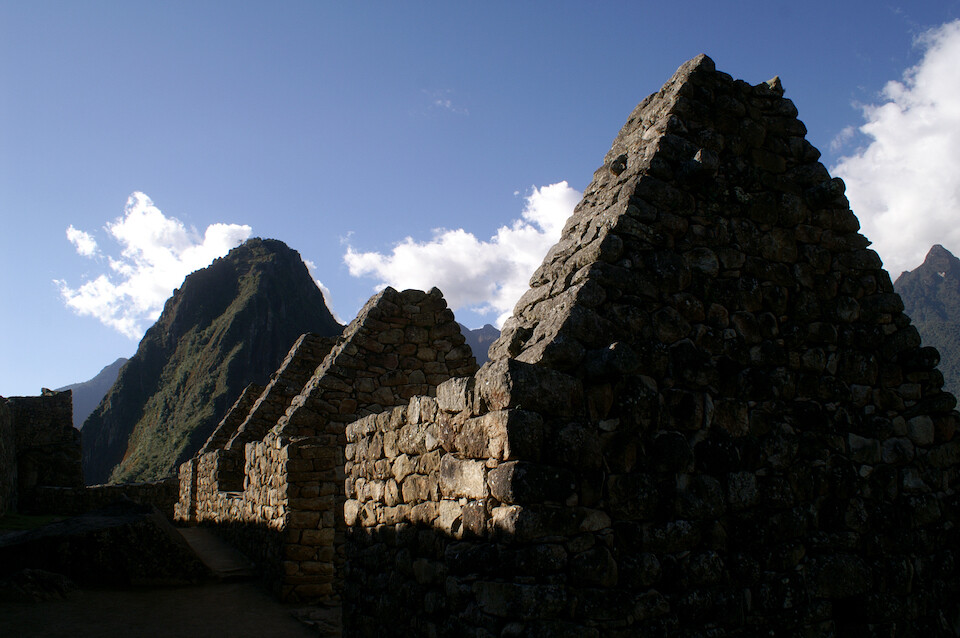
Roof-less buildings with Wayna Picchu showing the shape.
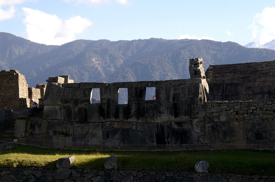
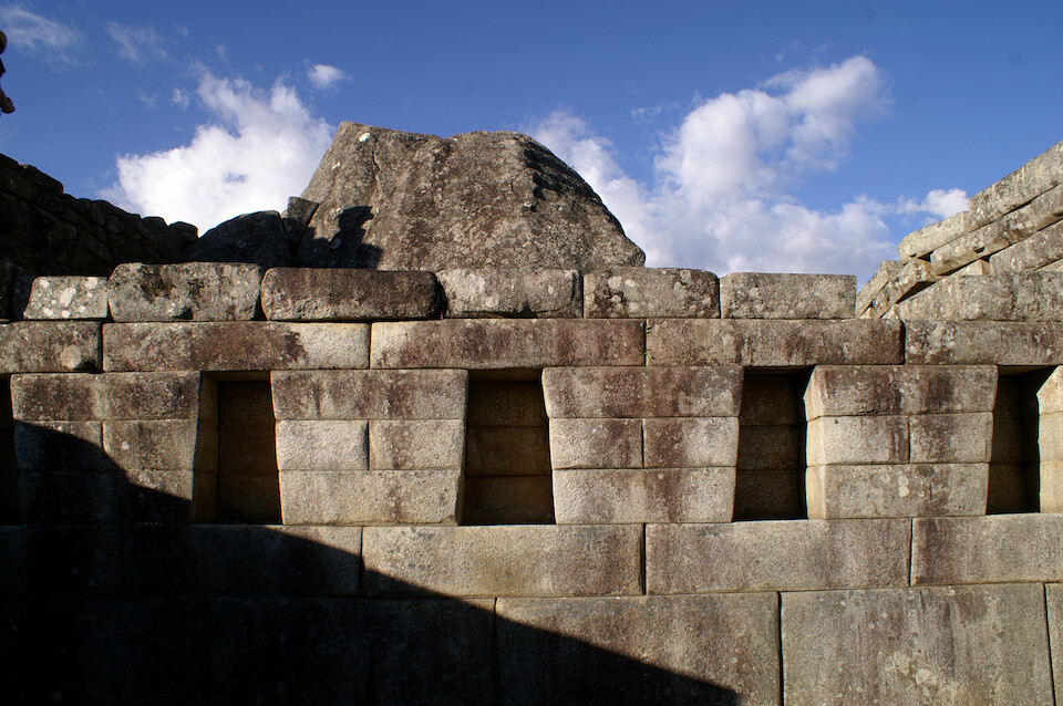
Temple of the Three Windows, the most insightful name at Machu Picchu :p
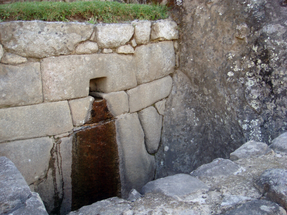
What's left of the water supply to the city; today's it's a small trickle. They've found intricate water channels bringing water from rivers to satisfy the city. Water is also thought to be important in their rituals.
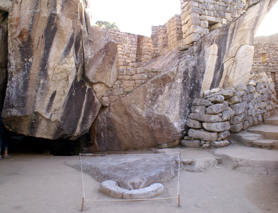
Temple of the Condor. Can you see it? The wings of the condor (similar to an eagle) are the two big granite stones behind, spread high. The body of the bird is the flat stone on the ground and the Incas laid some white stones to represent the white collar around the bird's neck. And like other sacred sights at Machu Picchu, this too was found by Incas as it is naturally and only the white patch was added.
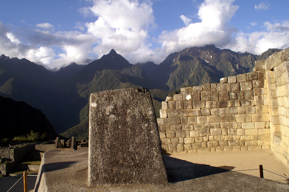
The walls of the Temple of the Sun. A nearby tour guide pointed out how the perfectly straight cut lines, on the left, signify a sacred part of the temple and further to the right, the cuts are more rounded, signifying a less important structure. They must've valued their stone-cutters; similar to modern-day society's engineers, I think.
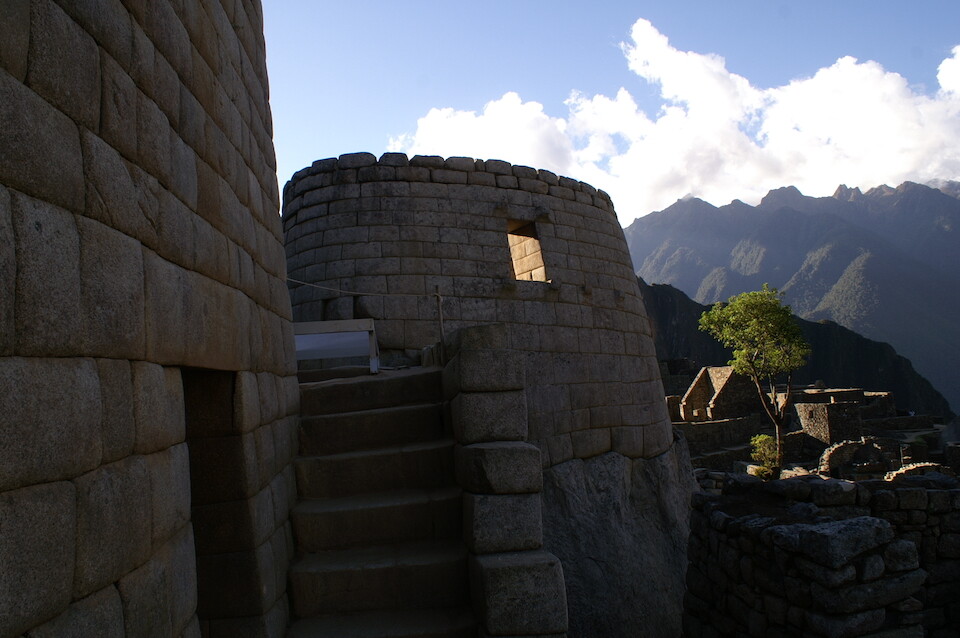
The most sacred sight at Machu Picchu, the Temple of the Sun, central to the Incas. Also, this is the only round building on site, signifying its importance from the other rectangular buildings.
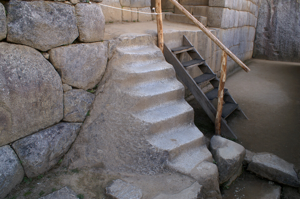
Stairway leading into the temple, carved out of a single block of granite. It was getting worn down from all the tourist traffic that they've closed it off and directed traffic to the wooden stairs.
Entrance to the Temple of the Sun. Hmmm, rounded stones on one wall and straight-cut on the other. The temple was to the right.
Strange inter-locking between stones. It doesn't connect to anything behind it, so, why cut the channel and put a different rock in? They probably had good reasons.
A room called the Sacristy, where if people in different windows hummed a harmonic vibration, like Omm, some sort of bouncing audio waves created an energy buzz in the room.
Looking from the sacred side of the city to the residential side. They sure had a good view.
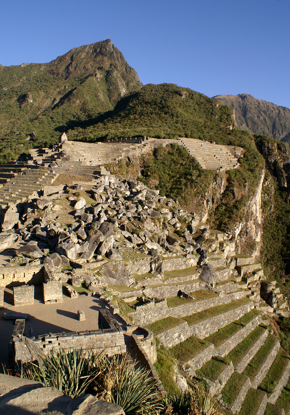
Agricultural terraces, under the watch of Mt Machu Picchu, going quite far down the steep cliff towards the river. Some archaeologists argue that Machu Picchu was used as an agricultural experimentation area for the kingdom, due to the various climates that could be achieved along the cliffs around the city. Terraces have been found around the mountain at various elevations.
Machu Picchu at sunset with the nose of the Inca shining in the setting sun. Nice to spend a whole day at the site (waiting for nice lighting conditions). Even if you don't like ruins, the location is quite spectacular and I can see why the Incas chose to build a sacred city at this site.
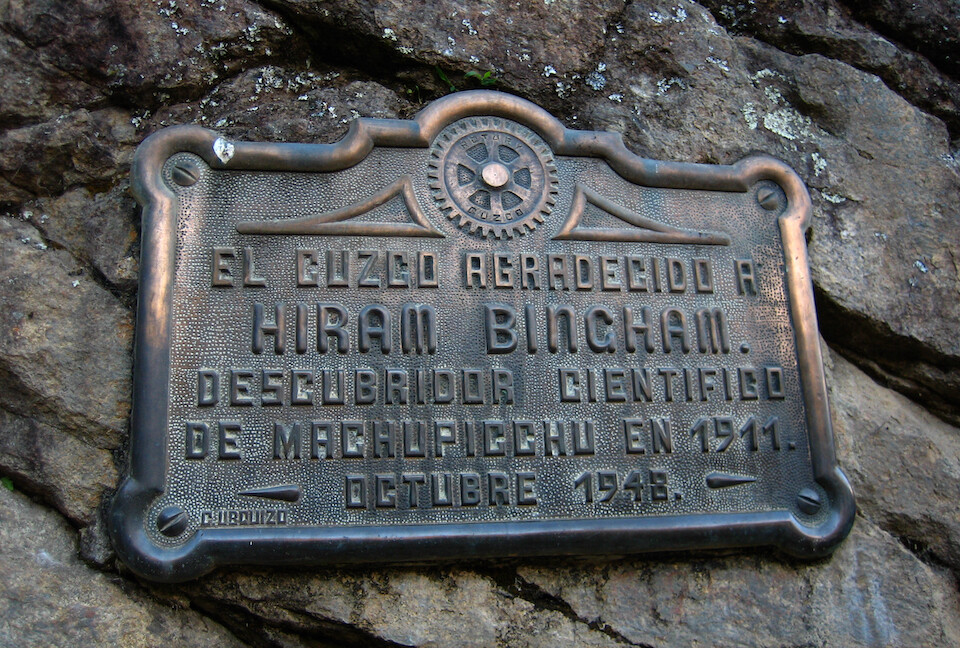
A plaque in remembrance of Hiram Bingham's discovery of Machu Picchu in 1911.
On way back down, we saw the steps that we climbed at night under the starlight.
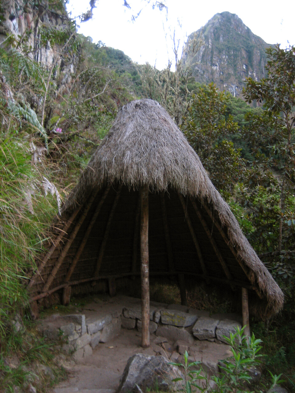
A rain shelter hut on the trail up the mountain.
Sun setting over the Machu Picchu valley.
Gorgeous colors to finish an exciting day where I climbed up and down a total of 3,050 m (10,000 ft) in elevation changes.
The next morning, getting an early start before dawn for the long journey back to Machu Picchu.
Arriving in Santa Teresa by breakfast.
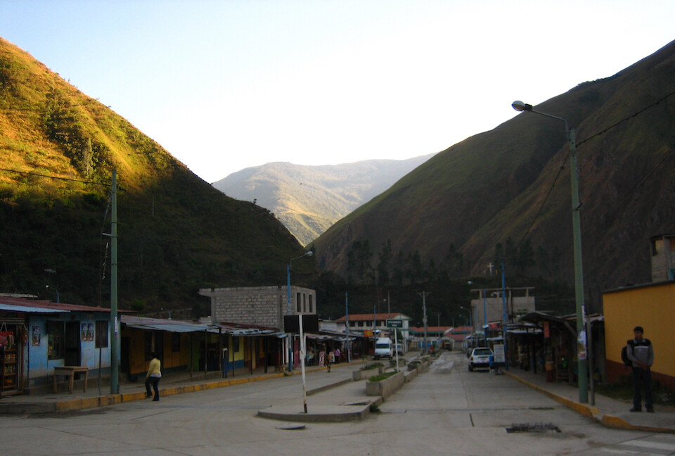
In Santa Maria on the main road, waiting for the bus to Cusco.
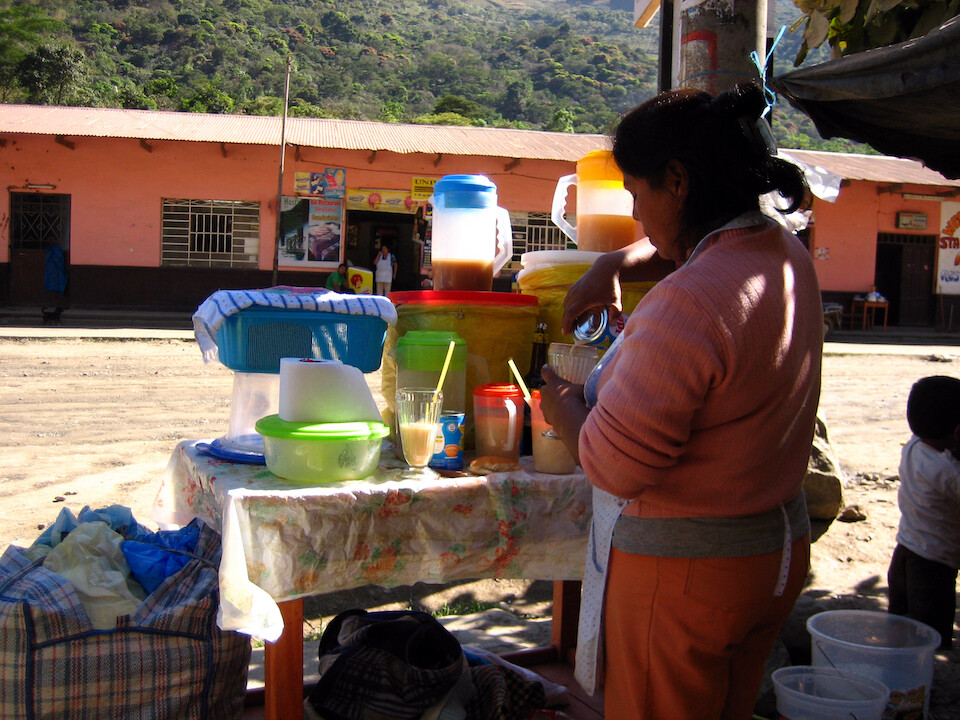
Having a hearty drink of quinoa for S/.1.
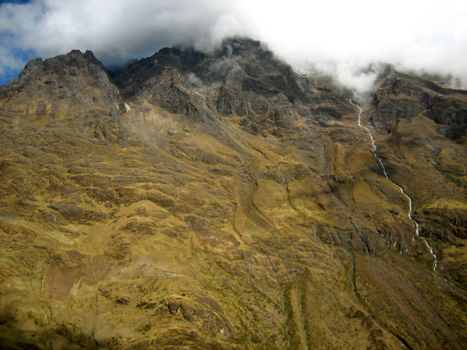
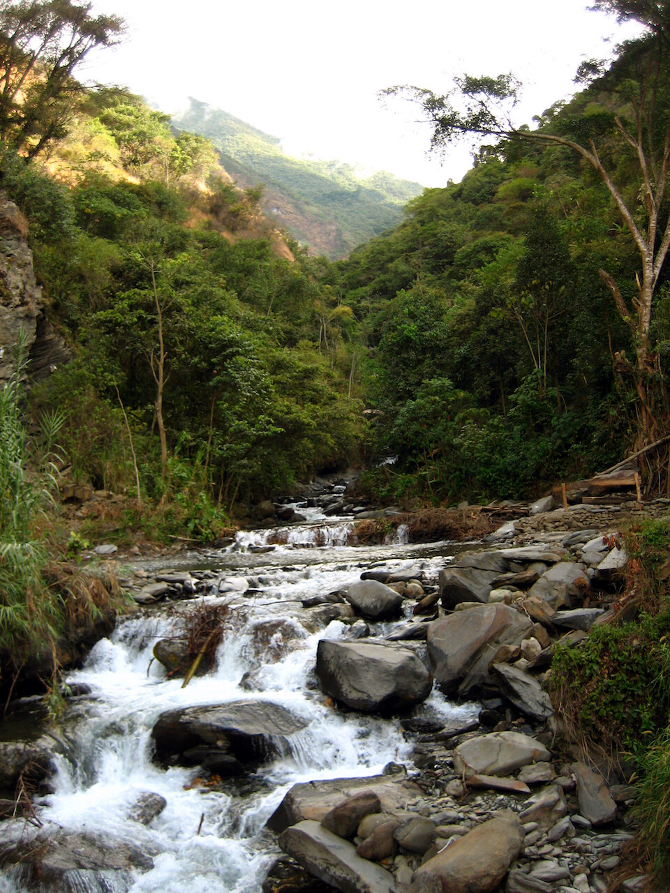
Enjoying the beautiful scenery on the way back. A stream coming from a glaciated-peak under the clouds.
Walking back to the farm for one last night in Cusco, before continuing south.
Next: Peru, Part 6: Breakdown in Andahuaylillas
Previous: Peru, Part 4: Abancay and Cusco