
Ecuador, Part 1: Quito and Quilotoa
— Ecuador, South America — 7 min read
June 4 - 10, 2010
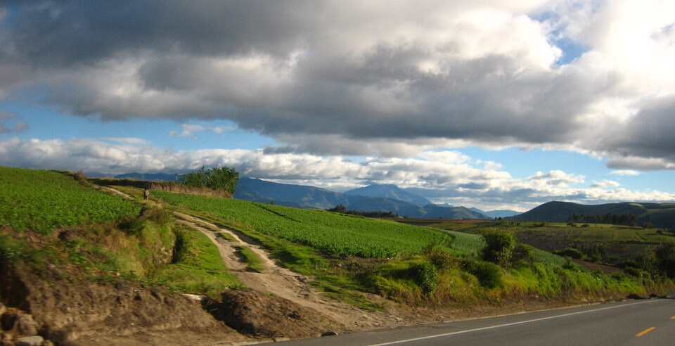
Ecuador is the smallest of the Andean nations, yet it packs a punch in the sights and sounds it offers. Its namesake comes from the fact that the important Inca and Spanish colonial city of Quito just about straddles the Equator. It's also the most densely populated South American country, and one gets a feel for that after seeing almost every mountainside stripped bare for agriculture. And what beautiful mountains they still are. Ecuador's skyline is defined by picturesque snow-capped volcanoes and others that are still active, as part of the Pacific Ring of Fire. Volcan Tungurahua went active again in 1999 and recently erupted, albeit not too violently, on 28 May 2010. I was excited to see my first active volcano.
I stayed primarily in the sierra (mountains) of Ecuador, all though I hear its coastline and jungles are worth a visit too. I followed a route south from Otavalo to capital Quito, down to industrial Ambato, then onto colonial Cuenca and the junction town of Loja. I stayed with motorcycle friends, either recommended from other travelers or contacted through HorizonsUnlimited.
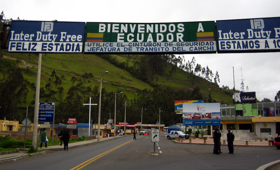
On the northern side of Ecuador, there's only one land border with Colombia near Ipiales.
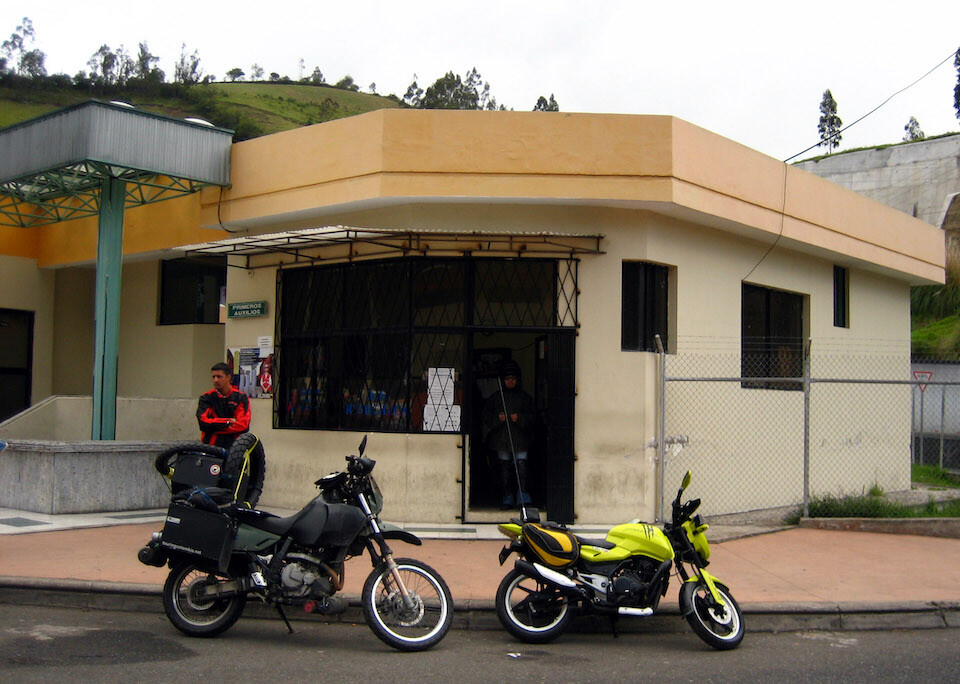
At the customs office, waiting 3 hours for the computer system to come back online so that I could be processed in. The yellow Bajaj Pulsar is Andres', a motorcycle friend from Pasto, who accompanied me to the border. He wanted to ride a little into Ecuador, but the customs delay went late into the day.
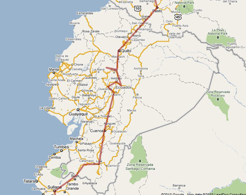
My route through Ecuador. Click on it to go to the interactive version in Google Maps.
When I enter a new country, I'm excited to see what my first impression will be. The setting sun was painting warm light across the mountainous landscape was making a great first impression.
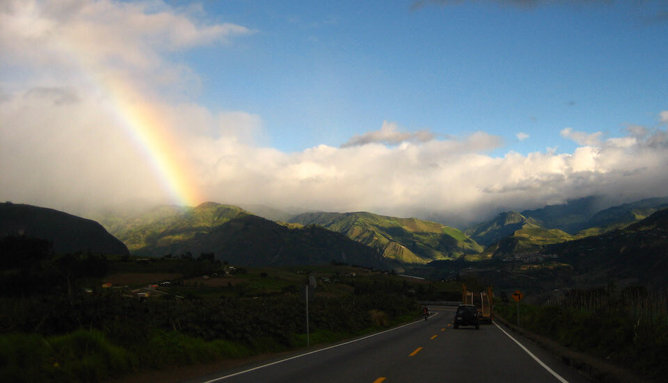
And what a beautiful welcome a rainbow is. It was in my sights for a good half hour and it always makes me smile to think about how simple a concept it is, sunlight being split by water molecules, and how gracefully nature shows us the complexity of light. The blue light towards the inside of a rainbow is on the shorter wavelength side of the light spectrum and is the reason the sky is mostly blue (blue light gets scattered first when the sun is overhead). The red light on the outside of the rainbow is of a longer wavelength and is the reason sunsets are red as the light from a setting sun has to travel through more atmosphere to reach us, leaving only red light left for our eyes.
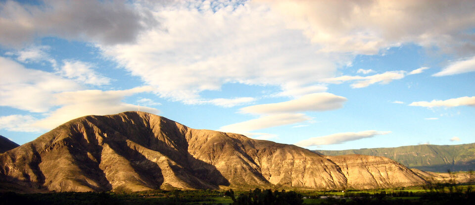
Landscape reminding me of south-west Wyoming.
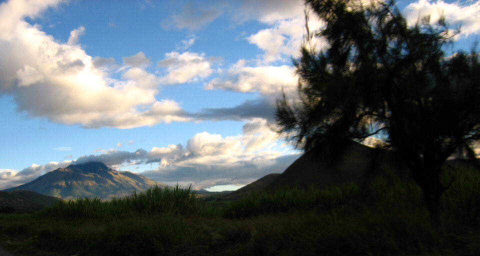
Volcanoes coming into sight.
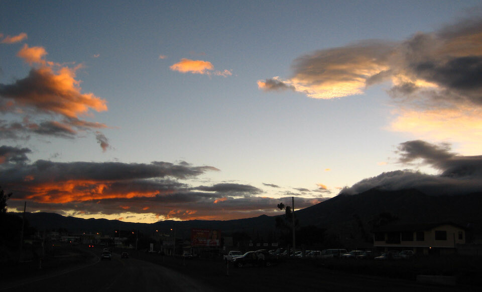
The sun setting near the town of Otavalo, where I spent the night.
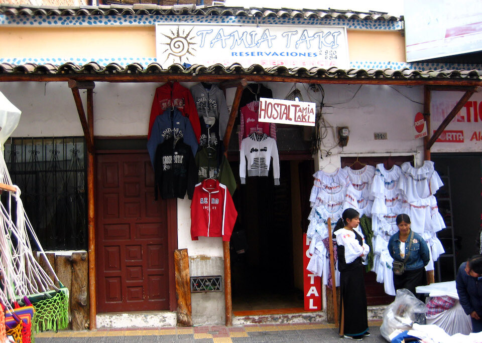
My hostel in Otavalo, Tamia Taki for USD 4. Otavalo is known for its Saturday street market and I got my motorcycle out the door before the entire sidewalk was covered in stalls.
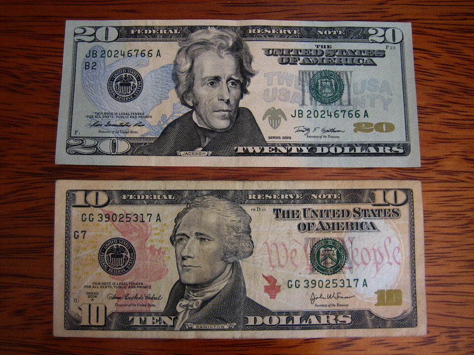
Ecuador uses the US Dollar as its official currency. It's original currency, the Sucre, was losing too much value (104% inflation rate) during the 1990s after decades of deficit spending and the then president, Jamil Mahuad, made the decision to switch currencies to stabilize the economy and prevent the government from printing money to meet its budgetary needs. However, nowadays, there is talk of going away from the dollar as the local economy is stagnating.
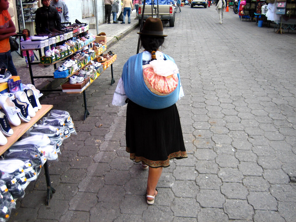
The vendors were selling crafts and other daily items for the locals. A typically dressed woman walking in front of me. Even in the chill air (2,500 m (8,300 ft)), the woman are dressed in skirts and wear hats typical of their region.
I slowly gravitated toward the food market, lead by my growling stomach.
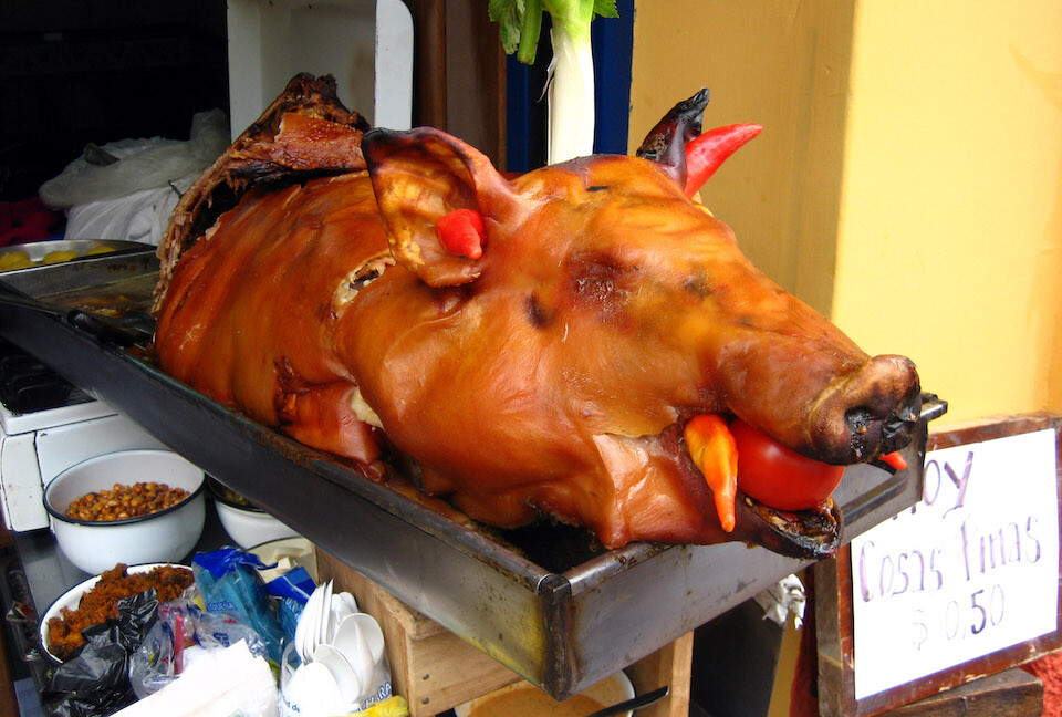
Mmm, a welcoming sight first thing in the morning. Note how they've stuffed peppers in its ears and looking fang-like from its mouth.
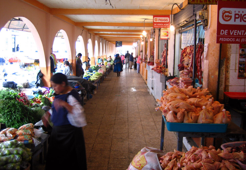
Fresh meat on one side and fresh veggies on the other.
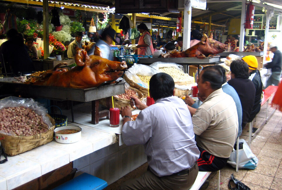
Don't mind the roast pig staring you in the face as you devour some of its juicy flesh. At the eatery section of the market where different stalls are setup offering various fresh eats. If you're accustomed to a Western way of life, your meat generally doesn't bear much resemblance to its live state, but I think down here, the closer the resemblance, the fresher the food is considered, as in 'I want to see where my food comes from.'
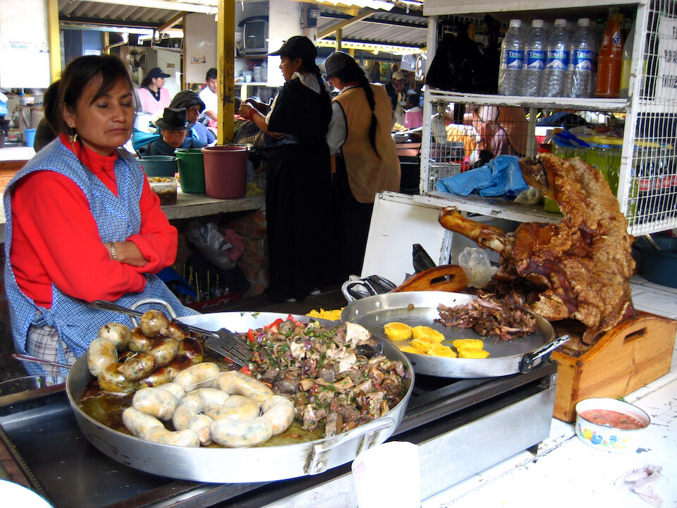
Various sausages and innards.
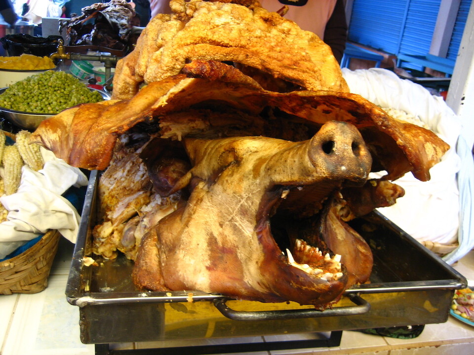
'Get my fried skin off of me!'
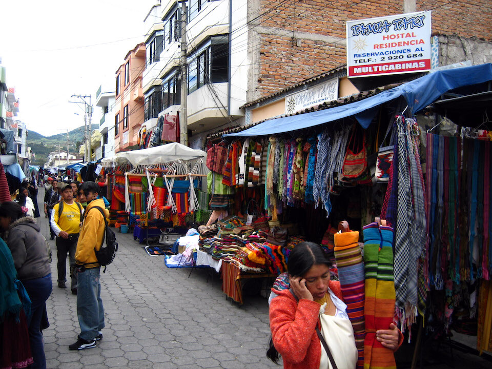
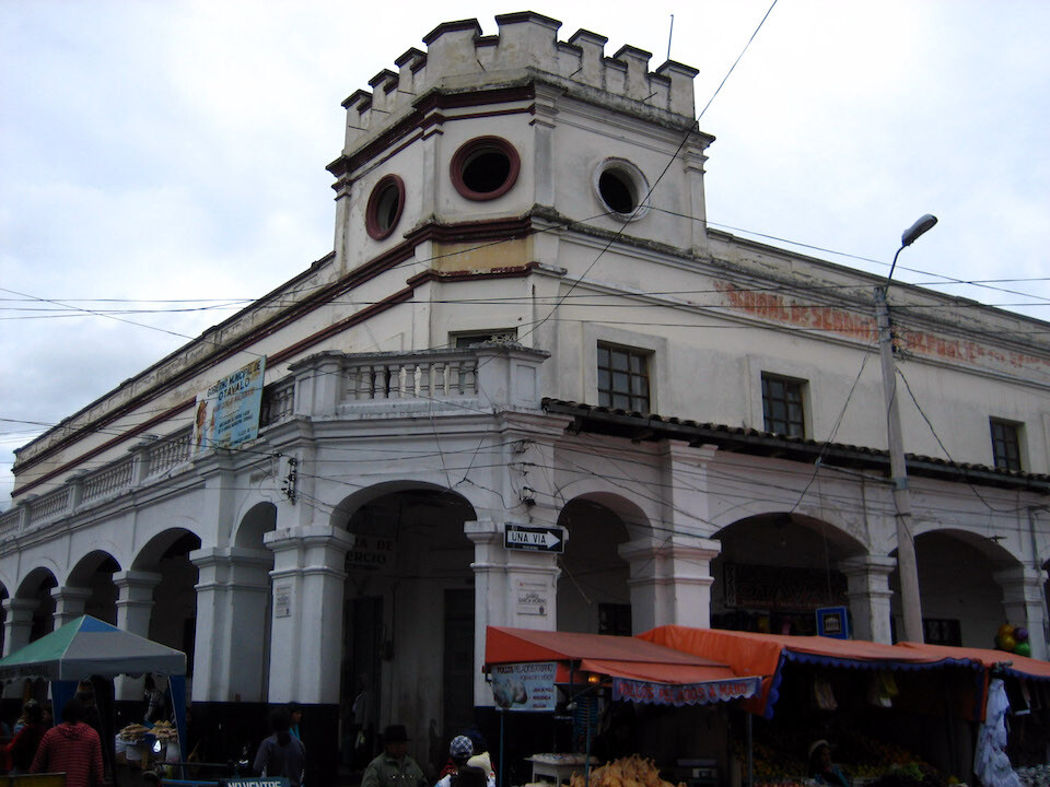
Returning to find my hostal engulfed in stalls. The items aren't only for the tour groups as locals were busy buying, as well.
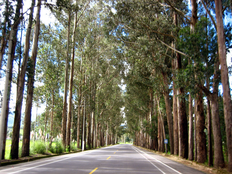
Heading south to Quito on the Panamericana. The last bit of the Northern Hemisphere for the rest of the year.
At the Equator. Entering the Southern Hemisphere.
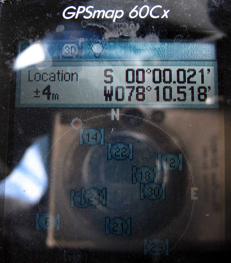
I've been as far north as 70 degrees (Prudhoe Bay, Alaska) and let's see how far south I can go. For some reason, I didn't bother taking my GPS off the bike to find exactly where 0'0'0 was. This is close enough.
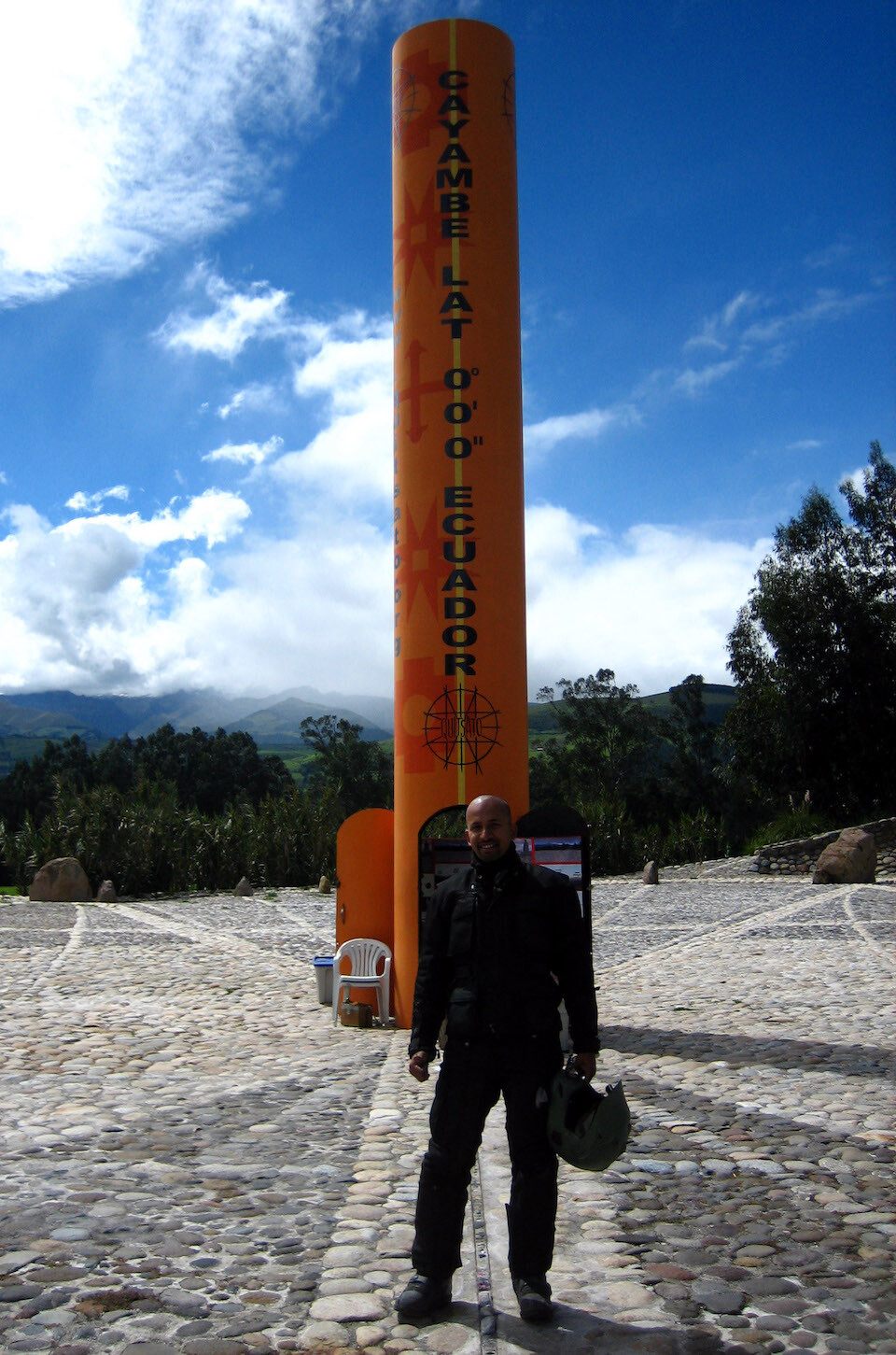
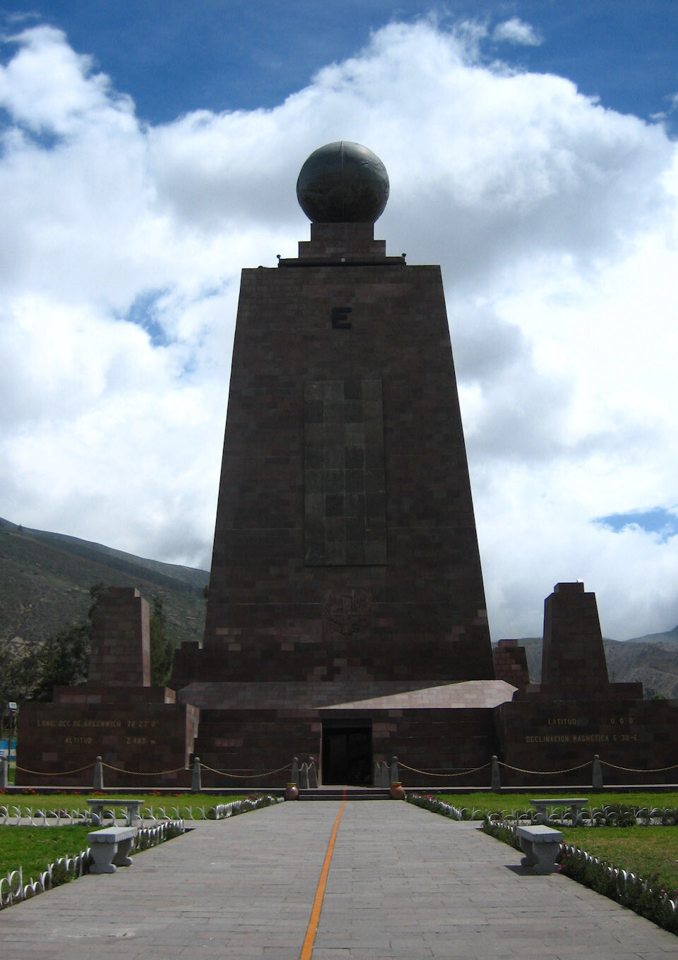
Ah, here it is. The exact marking of latitude 0'0'0, the Equator. Straddling both hemispheres. As you're coming south from Otavalo, turn left at Cayambe and you'll come across this monument.
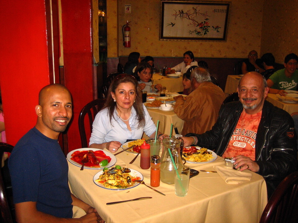
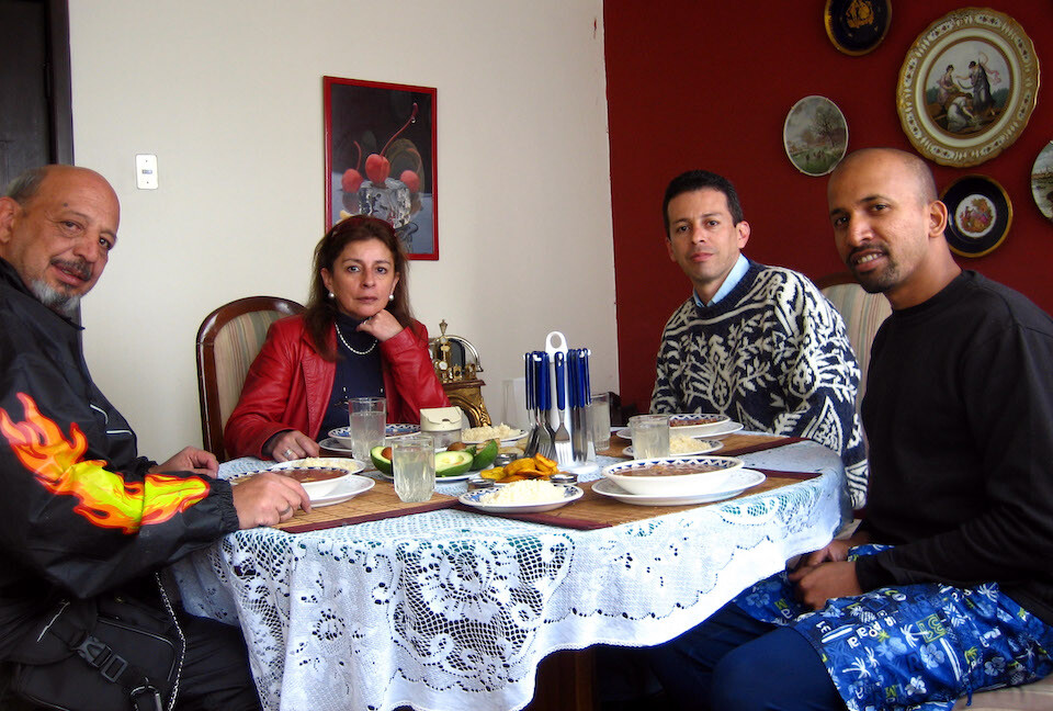
Having lunch with my hosts in Quito, Carlos and Christina Riaño. Carlos is a rider and graciously hosted me on recommendation from Sargento, the Mexican rider I met in Cartagena, who stayed with Carlos on his journey.
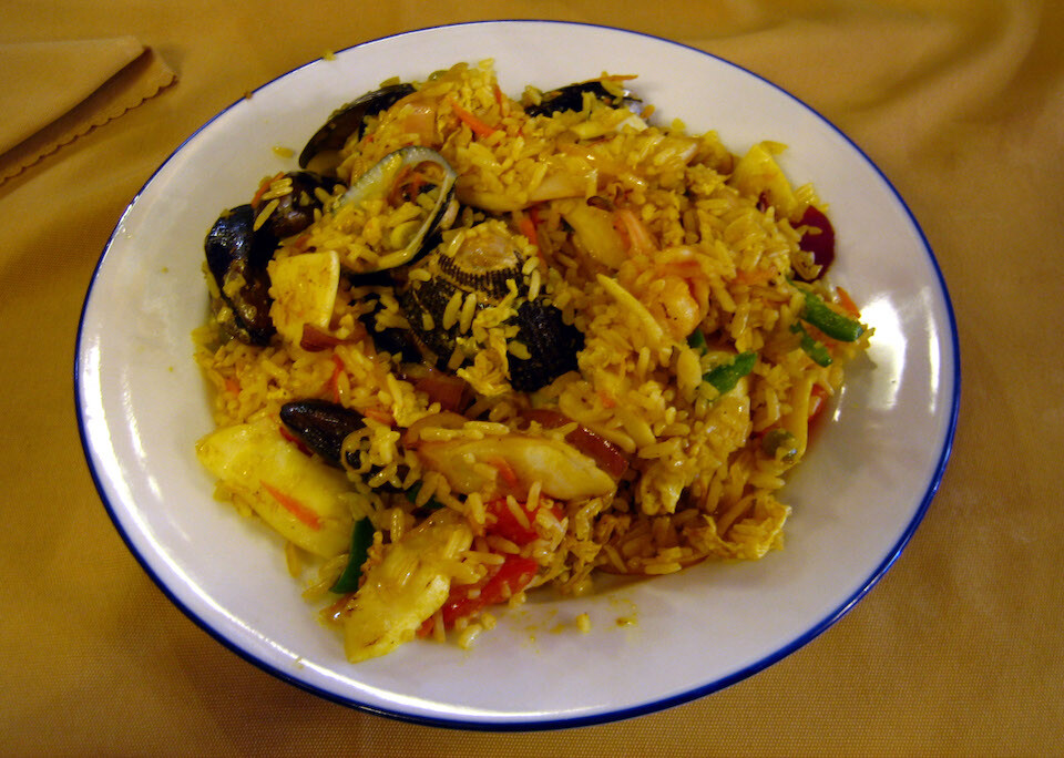
Having a Chinese seafood stir-fry.
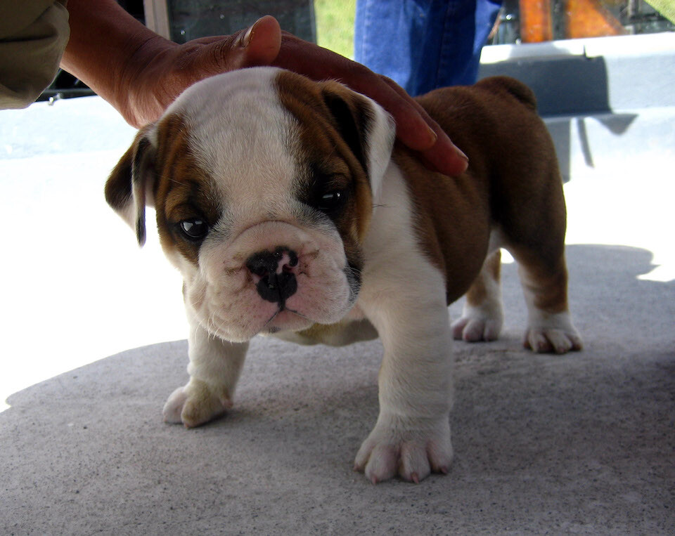
Walking the streets of Quito after lunch we came across this little cute pup.
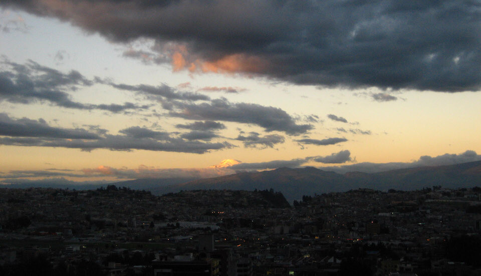
Quito is situated in a 40 km (25 mi) long valley between snow-capped volcanoes, some of which are active. That's Volcan Cayambe shining in the setting sun. Population is about 1.5 million at an altitude of 2,800 m (9,200 ft). I had a headache from all the varying altitude in getting to the city.
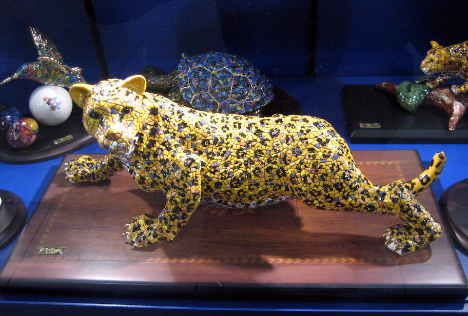
A tile sculpture of a jaguar in a store window.
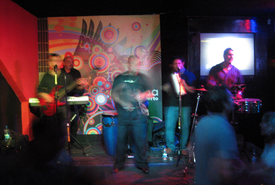
Carlos is a musician, playing the keyboards in the back at club Naruba, with his salsa, cumbia and other forms of Spanish music band.
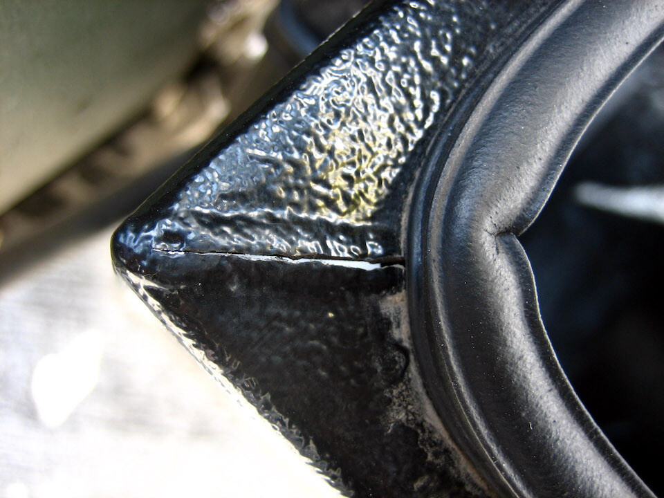
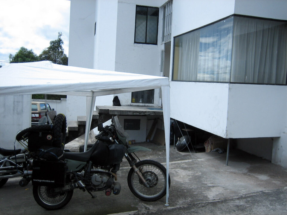
I discovered a crack in the corner welds of my Happy Trail panniers and figured best to get it re-welded before the crack spread down the sides. Maybe it happened when I had my small fall in Costa Rica, but I would've noticed it before then or maybe I'm stressing them too much, don't know.
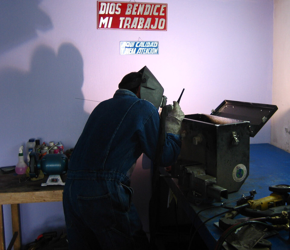
At the aluminum welder's shop. Sign reads 'god bless my work.'
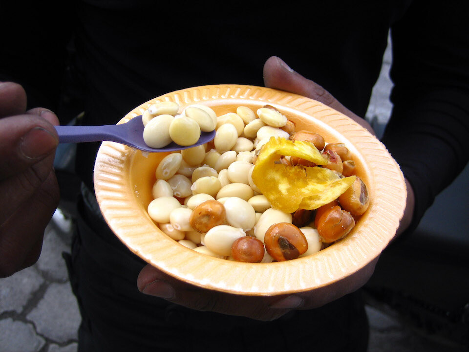
Having a little salty snack of fried corn, plantain chips and varied beans.
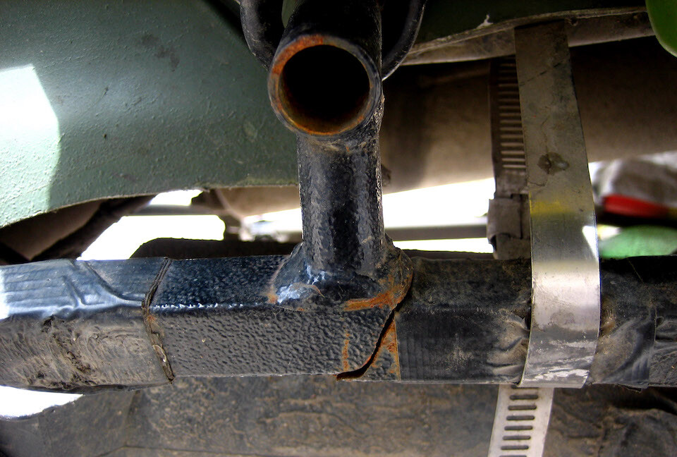
I also found this complete crack of my steel pannier frame. Now this probably happened when I fell in Costa Rica and am surprised I didn't notice it until now. All my bolts are in place and none are broken.
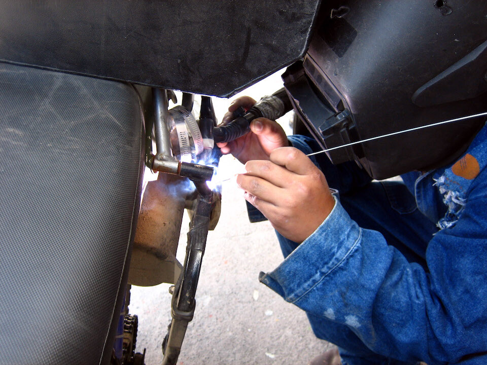
Getting it welded on the bike since it was too much effort to remove the pannier frame.
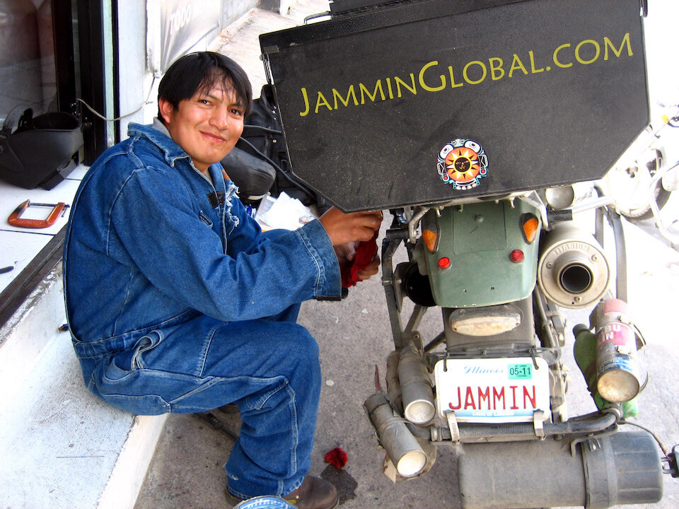
Victor Manuel doing a nice job on all the welds. 8 aluminum welds (4 corners of both boxes, beefed up the current welds before they started cracking) and this steel weld for USD 10. He's located at Av. Las Toronjas and Av. El Inca. Hard to find good aluminum welders.
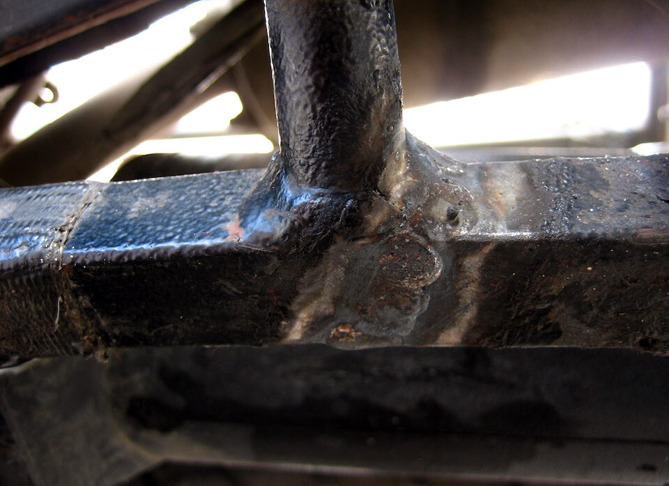
The pannier frame welded up and ready for another fall.
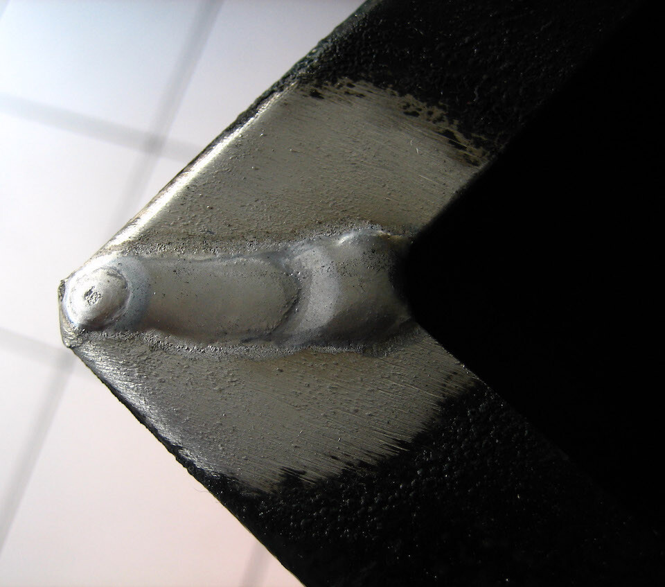
The corners of the panniers welded up.
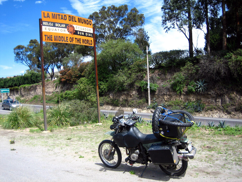
At the main monument for the Equator, the Mitad del Mundo, about 35 kms (22 mi) north of Quito. The position of the Equator isn't exact here as when the site was created, exact instruments weren't available, but it is grander and has more of a theme park atmosphere, costing USD 2, compared to the free entry for the exact site at Cayambe.
Having one of many excellent meals at Carlos and Christina's house. That's Christina's brother, Riccardo. I'm wearing my swimming trunks as I had all my regular clothes washed.
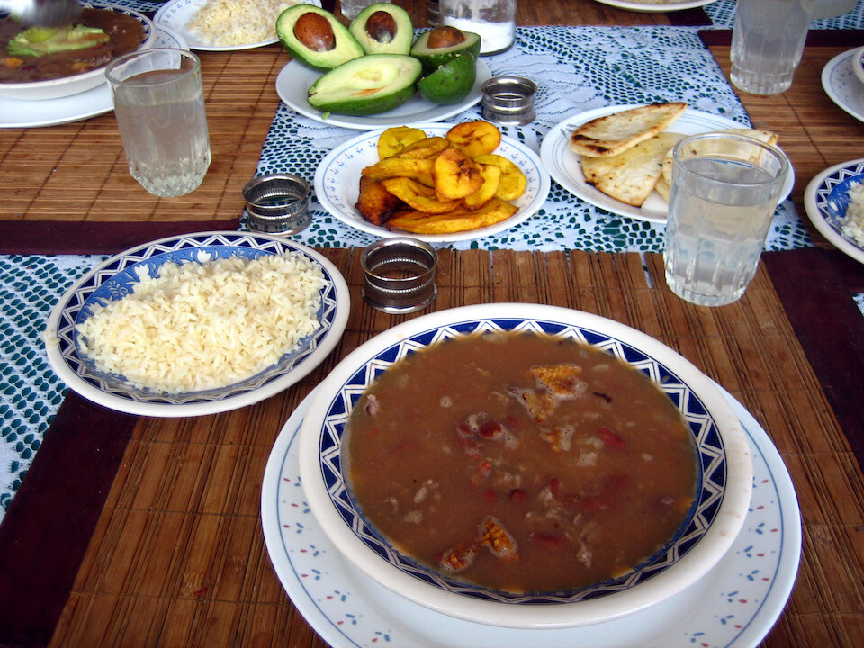
A typical meal of a bean soup with rice, fried plantains, avocado and arepas. Carlos and Christina are actually Colombians from Bogotá and moved to Quito about 10 years ago. Can't take the arepas away from Colombians.
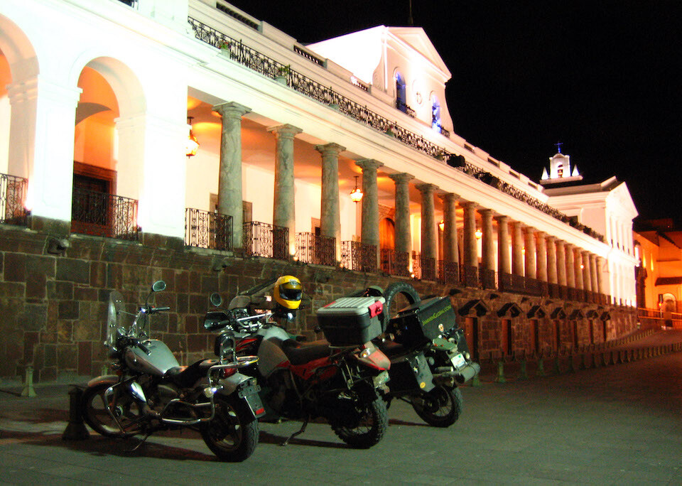
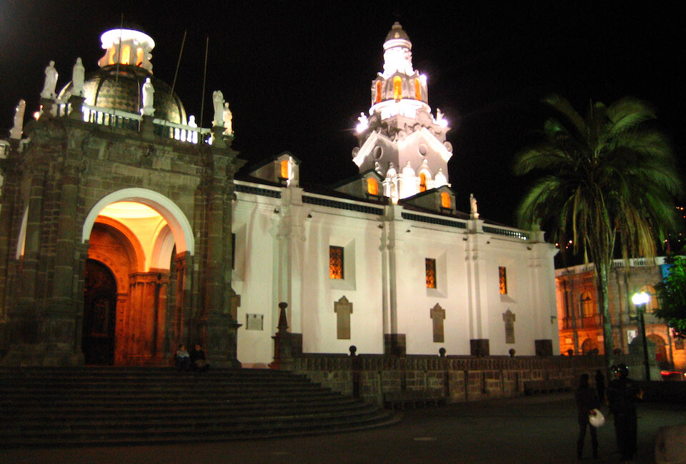
Meeting up with Aaron and Carol, on the red KLR, who contacted me through ADVrider and along with Carlos (gray Motor1, Chinese 150 cc runabout), taking a tour of Quito by night. Carlos also has a Honda Shadow 800 cc for touring. This is the Palacio del Gobierno (government house).
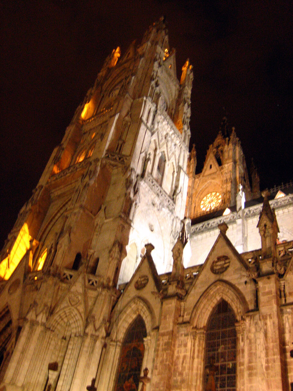
Lots of beautiful grandiose churches in Quito, which has the largest and best-preserved historic center in Latin America.
The main cathedral in Quito, where there's a painting of the last supper with cuy (guinea pig) as the main course. Quito was the first city to be inscribed on UNESCO's World Heritage List in 1978.
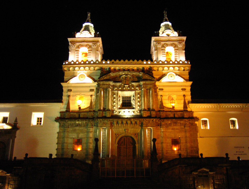
The Monasterio de San Francisco, the oldest church and grandest colonial building in Quito, finished in 1604. Having features such as sunlight shining on the altar during the solstices shows how indigenous artisans brought their Inca influence to Christian architecture.
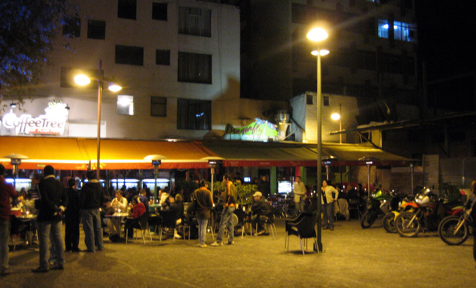
Having dinner at Mariscal, the center of developed restaurants and the nightlife.
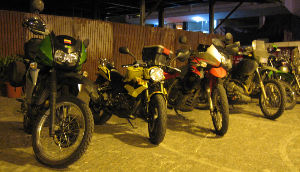
It's also a popular biker hangout.
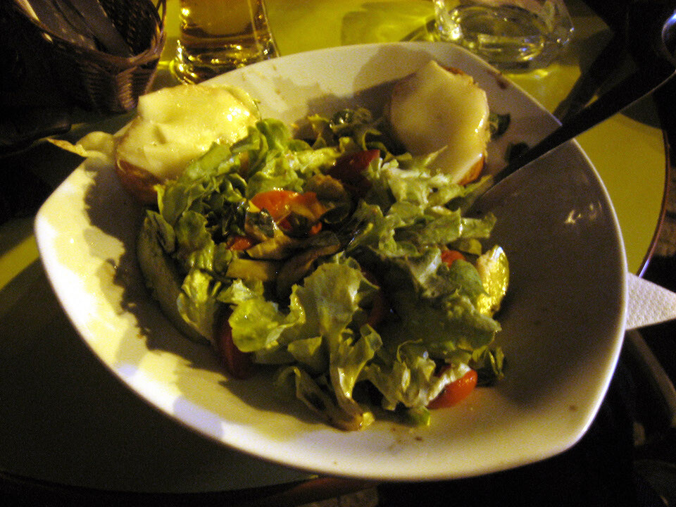
Having a nice salad for a change.
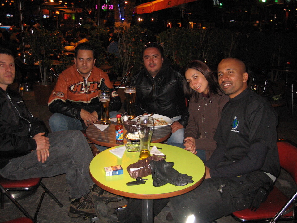
Dinner with Aaron, some Harley riders, Carol and Carlos. Aaron is from Minneapolis and he met Carol there who's from Quito. They got married and rode down here, he on the KLR and she on a BMW F650.
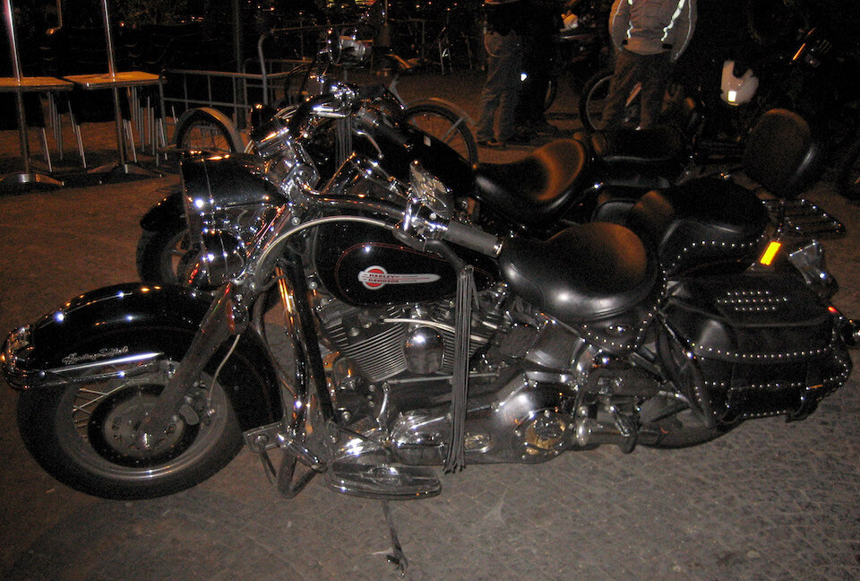
Their uber-expensive Harley-Davidsons. There's about a 70-100% import tax in Ecuador, so these bikes cost around $60-$70,000!
Saying good-bye to Carlos and Christina after a good 5 days in Quito.
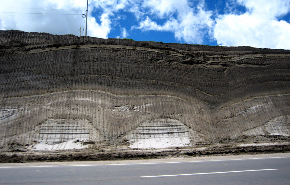
Interesting geology exposed by a road pass.
Climbing up to Quilotoa Lake from Latacunga and riding through the páramo, a neotropical ecosystem that exists above the tree line and below the snow line in the Andes.
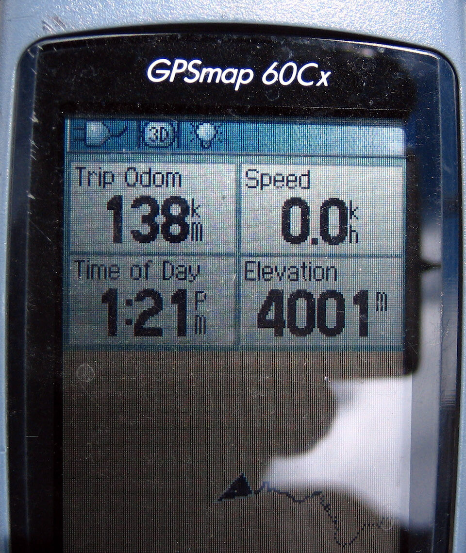
First time crossing 4,000 m (13,100 ft) on the bike.
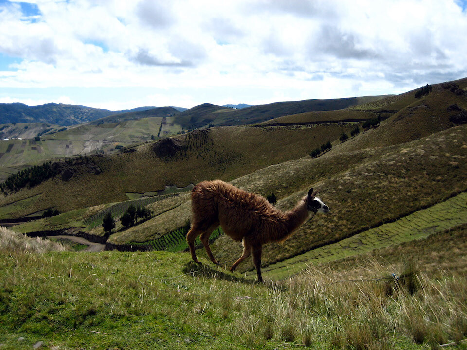
First sighting of a llama in the wild. They're indigenous to the Andes and have been mostly domesticated for their fur and occasionally for their meat.
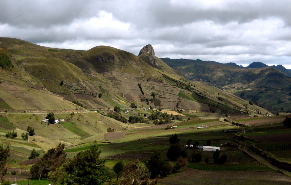
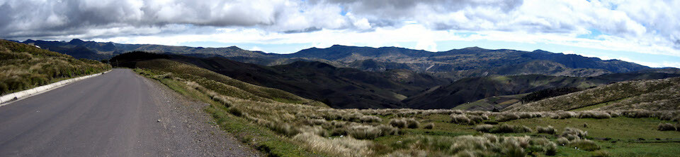
From Latacunga, the ride to Laguna Quilotoa climbs high and provides good views.
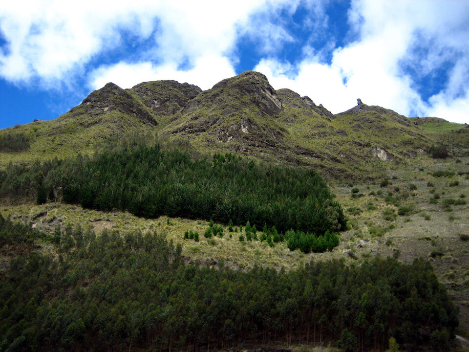
A small patch of trees remaining. Too bad most of the mountain sides have been deforested.
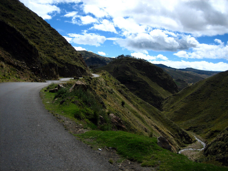
Wonderful twisting roads following the natural contours of the land.
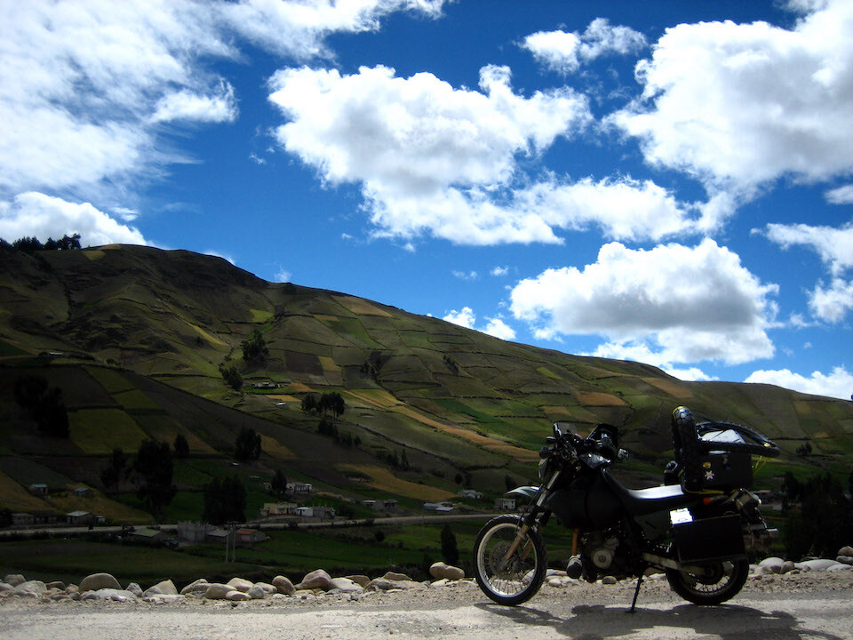
The air is very clear up here and it makes for some nice photos. sanDRina with the cultivated mountainsides.
Arriving at Laguna Quilotoa, costing USD 2 to enter.
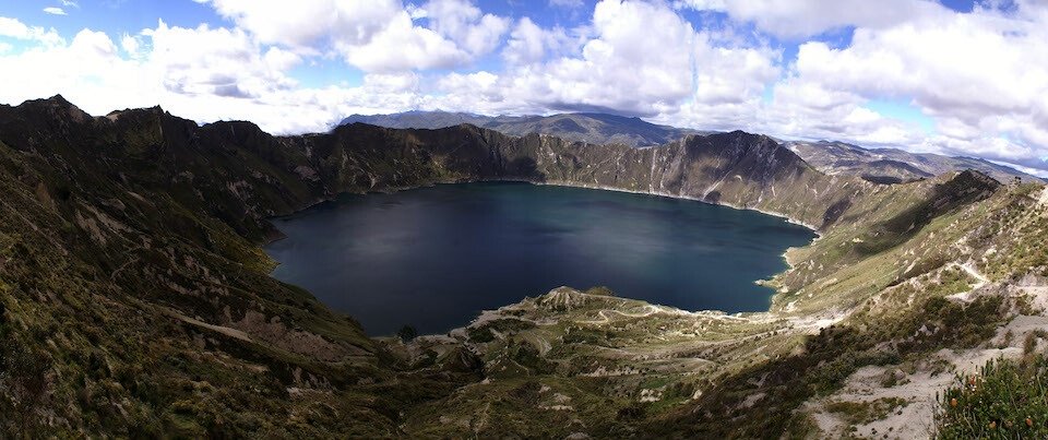
Panorama of Laguna Quilotoa, a crater lake which formed after a violent eruption in 1280 of Volcan Quilotoa. It sits at a height of 3,900 m (12,800 ft), is about 3 kms (1.8 mi) around and 250 m (820 ft) deep. The clouds and conditions were constantly changing.
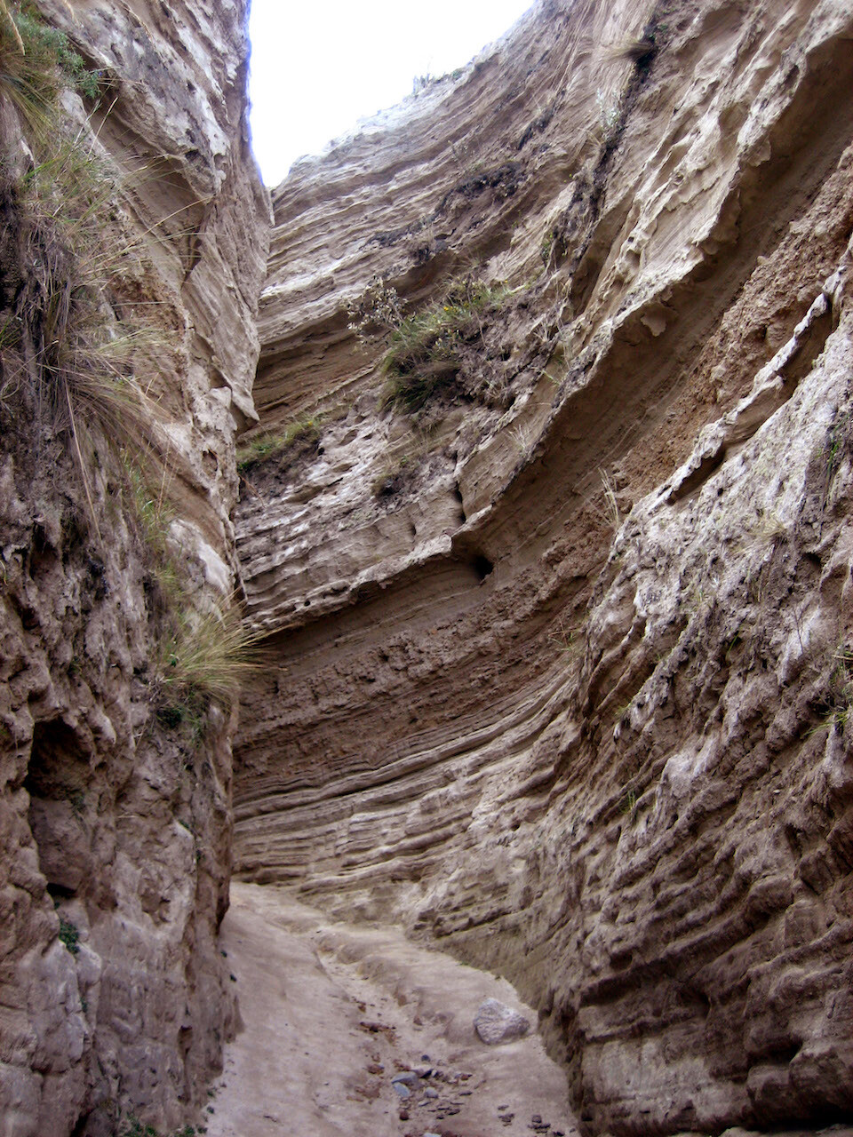
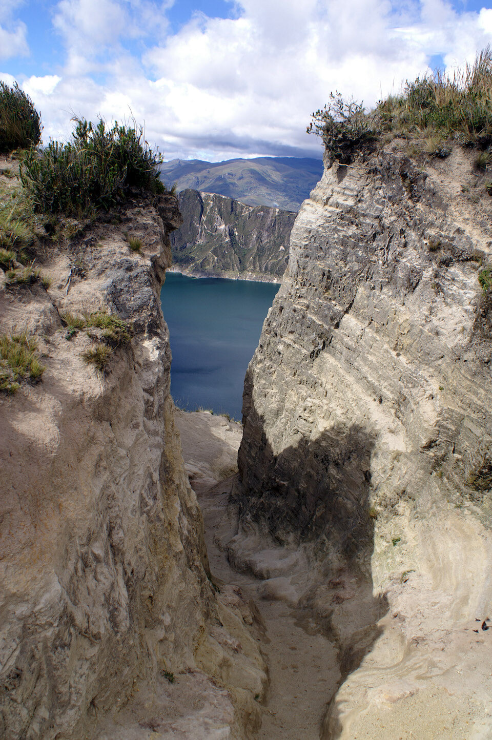
To reach the lake, you have to hike through this narrow, steep canyon.
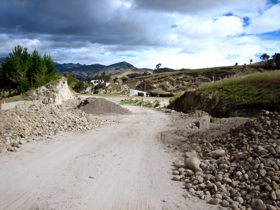
The road to Quilotoa from Zumbahua is a bit sandy but nothing a heavy bike couldn't handle.
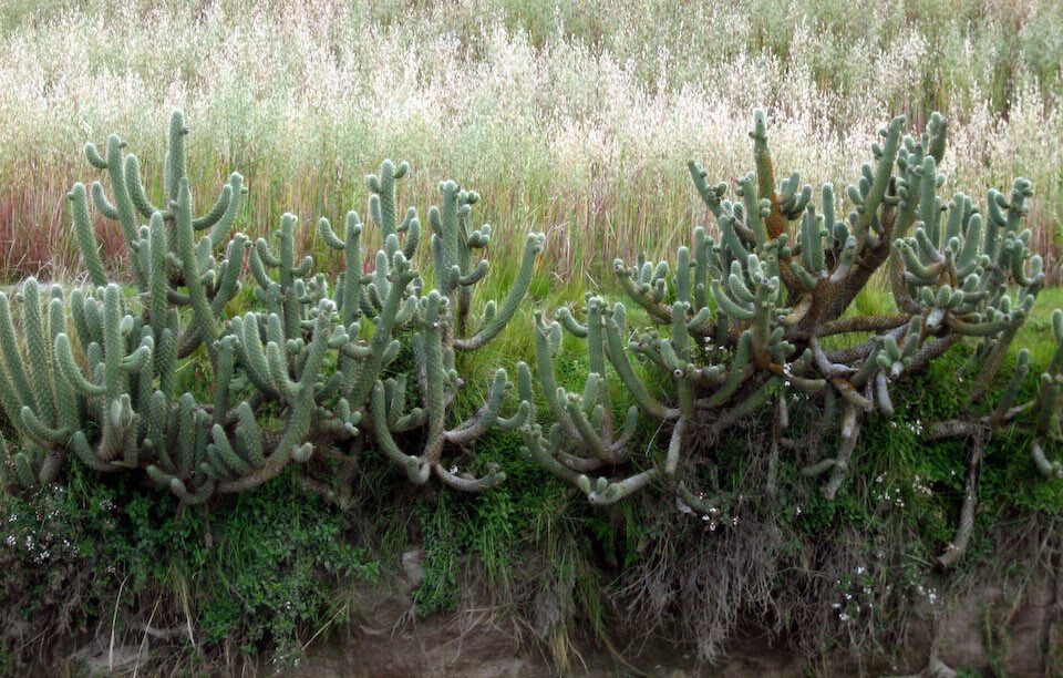
Cactus on the road-side.
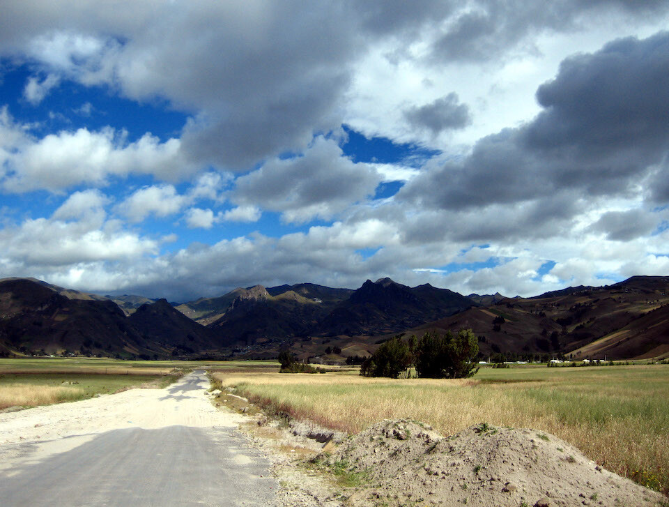
Heading back to Zumbahua across this high-altitude valley, situated at around 3,700 m (12,100 ft).
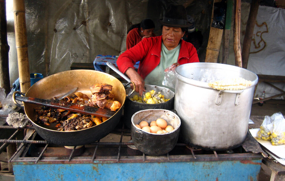
There weren't that many options for lunch on the road back in the small village of Zumbahua besides a few shacks serving up fatty pork, corn and eggs.
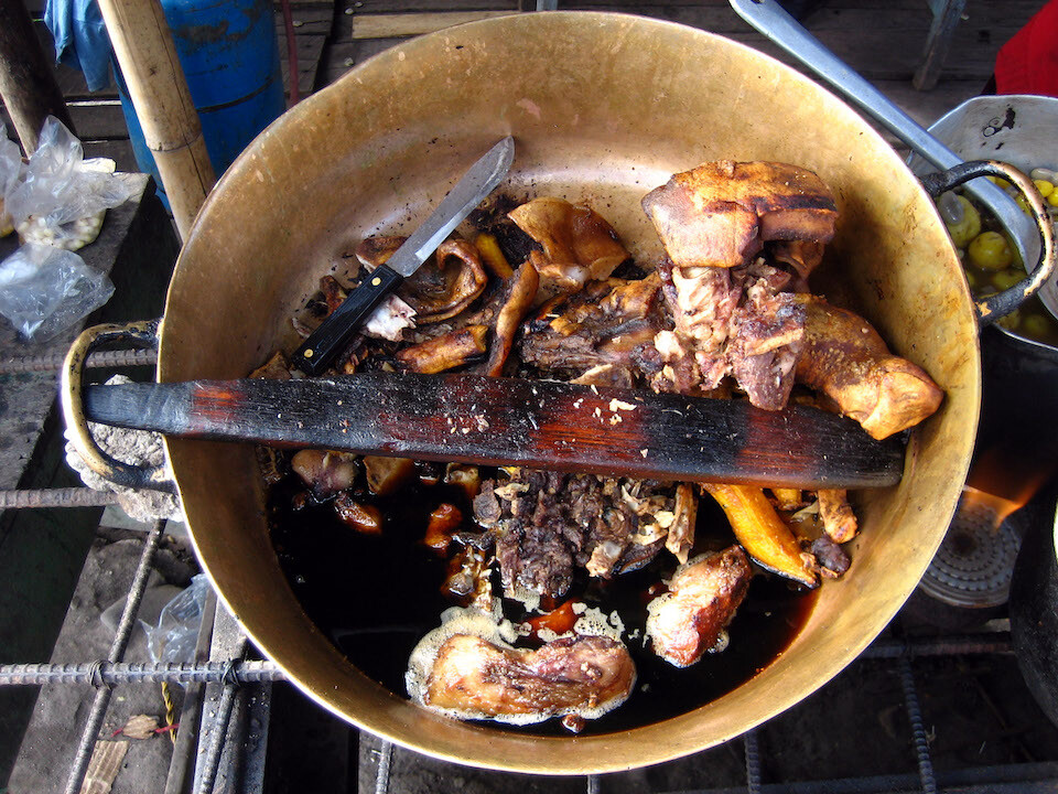
For a dollar, I got a small bag with 2 pieces of pork fat attached to a few strands of meat and some oily plantains. I should've just gone for 2 or 3 boiled eggs instead. But I guess up here in the cold, pork fat is what's needed to sustain the calories.
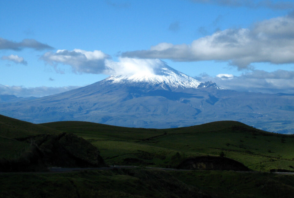
On the way back to Latacunga, the clouds cleared and I got a nice view of snow-capped Volcan Cotapaxi at an elevation of 5897 m (19,342 ft).
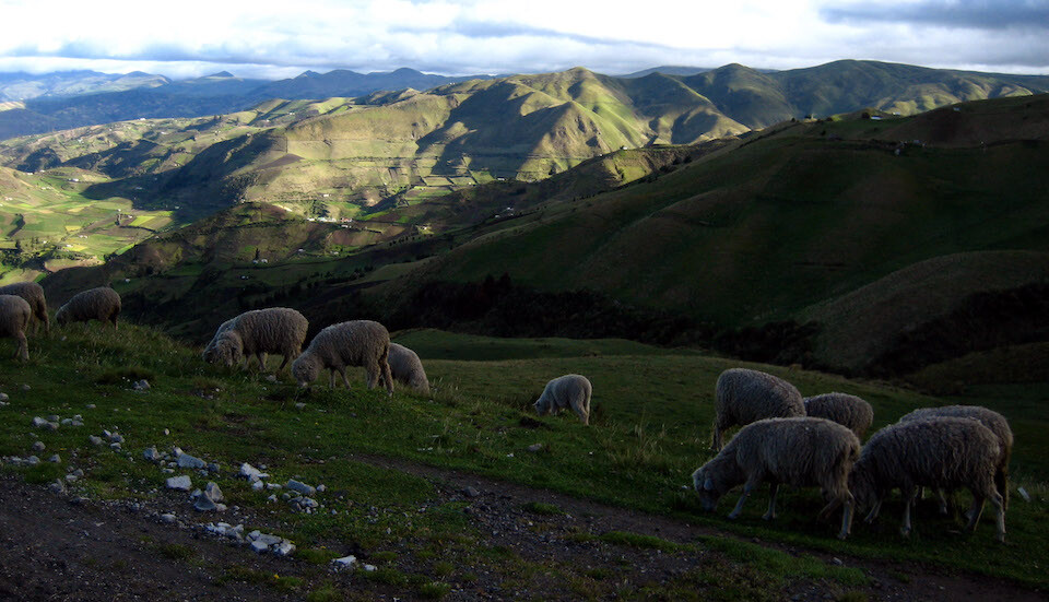
Sheep on the road back down to the Panamericana, grazing on the green hillsides.
Next: Ecuador, Part 2: Volcanoes
Previous: Colombia, Part 4: Cali, Popayan, Pasto