
Guatemala, Part 2: Tikal
— Central America — 4 min read
April 21 - 23, 2010
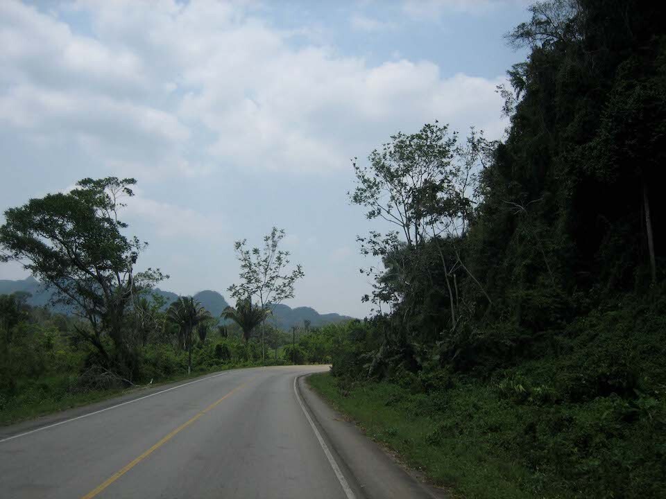
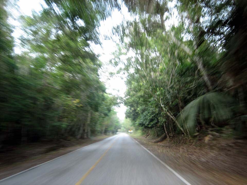
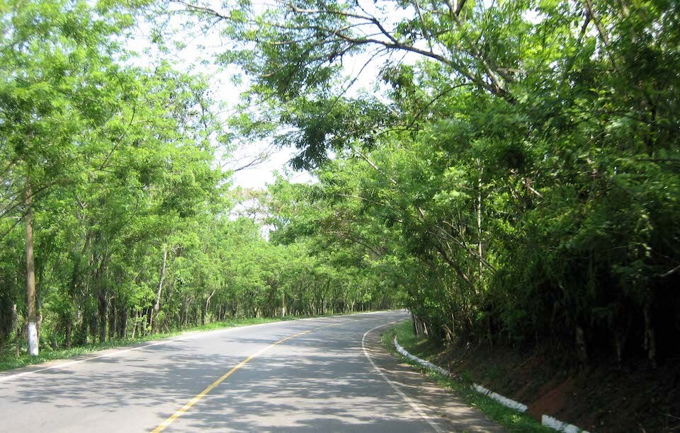
Finished with the mountainous section of Guatemala and now riding the hot tropical plains with high humidity heading north to Tikal.
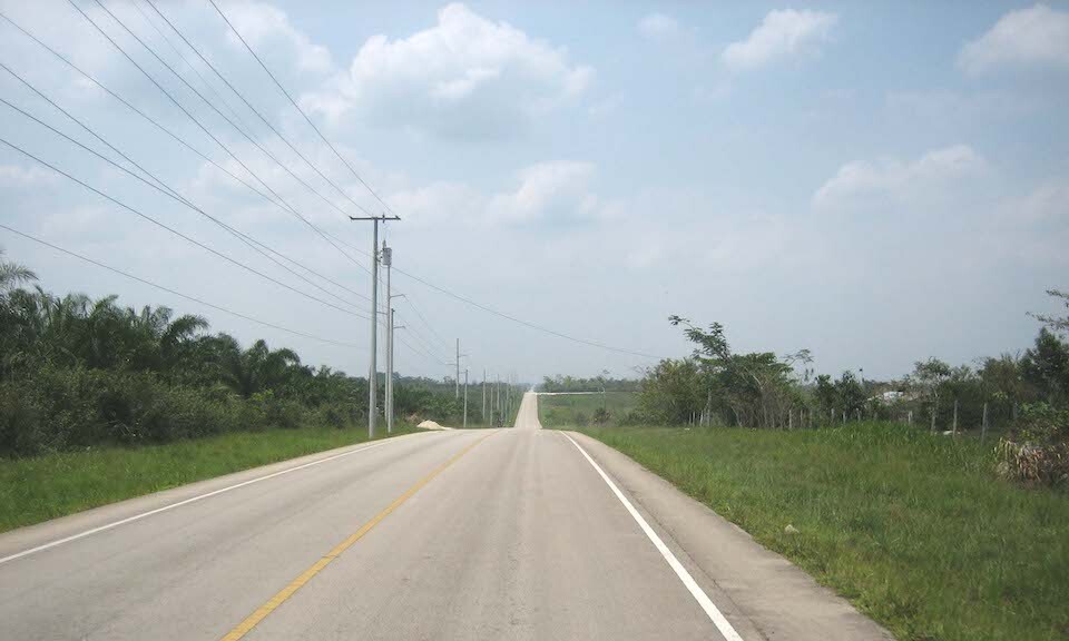
A super long straight section, about 60 kms, running up the west side of the country.
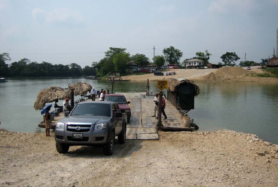
The ferry at Sayaxche across Rio de la Passion.
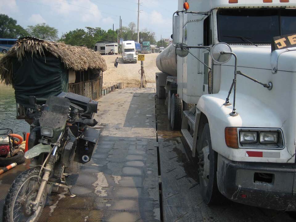
Sharing the ride with a semi-truck (note the long line of trucks waiting to cross). Cost Q5.
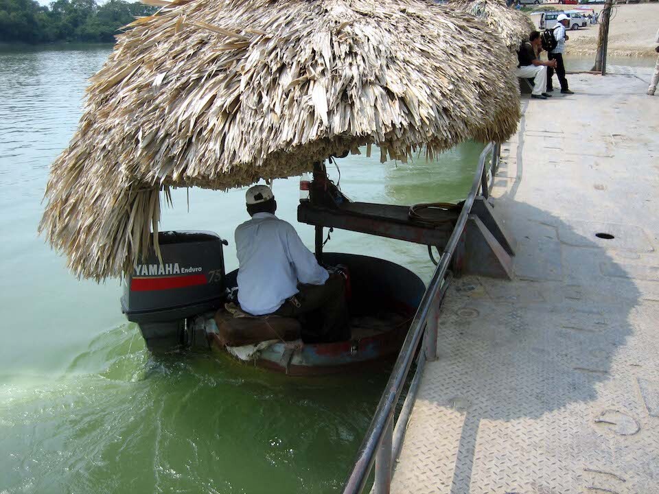
The ferry was powered by this little outboard motor on a dingy. It worked and got us across.
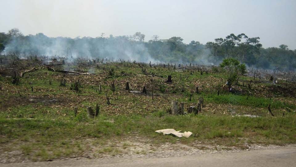
Slash and burning the jungle away.
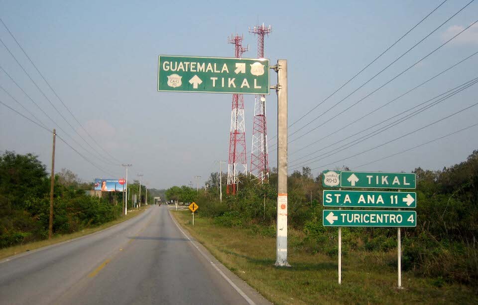
The roads were well marked with directions. Guatemala is referring to Guatemala City.
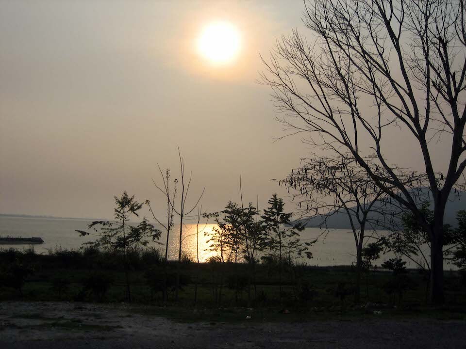
Setting sun across the picturesque Lago de Peten Itza.
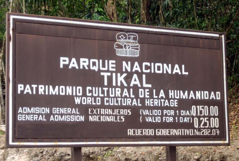
Entering Tikal and taking note of the dual pricing structure where foreigners have to pay Q150 (\$19) and local nationals pay Q25. A lot of other countries do it as well and I guess they're milking the rich and giving the locals an affordable chance to take in some of their heritage.
Riding the 17 kms of park road heading to the visitors center.
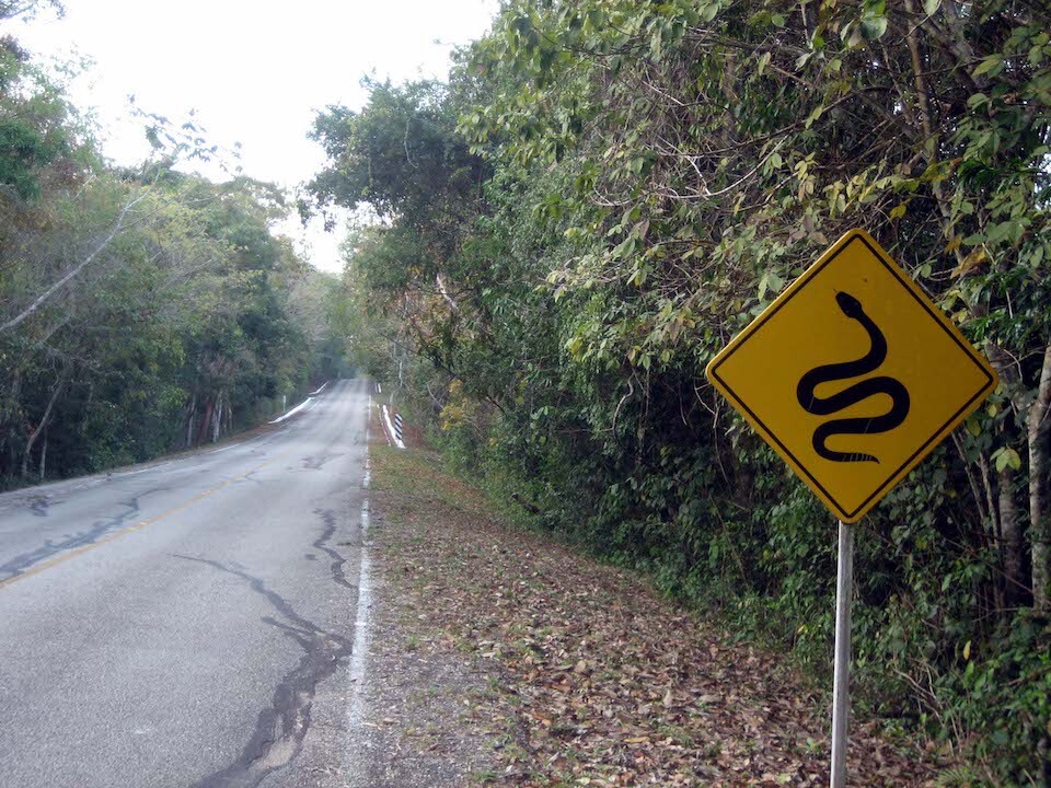
Not your usual animal warning sign.
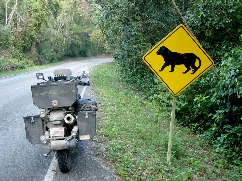
Meow. Jaguars ahead.
I camped in front of the Jaguar Inn, which is in the main visitors area as I wanted to enter the site early in the morning when it's cooler and less crowded.
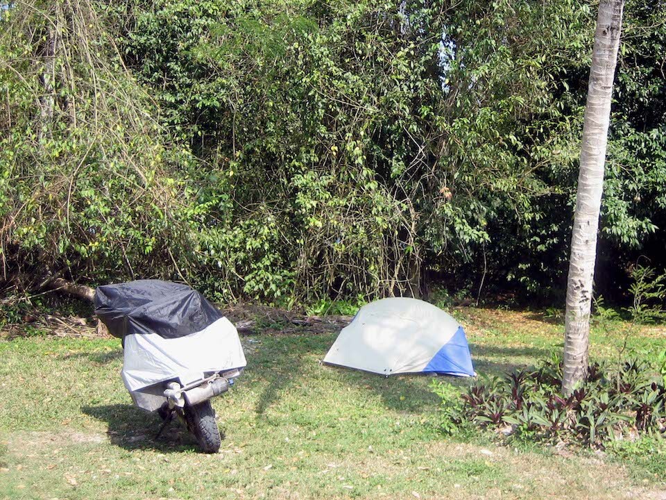
Camping for Q25 at the Jaguar Inn. It was safe to leave all my things here when I walked around the ruins.
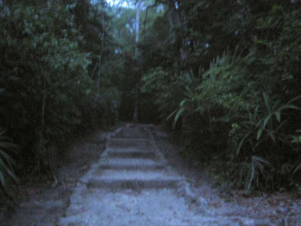
Not realizing that Guatemala and the rest of Central America don't follow daylight savings like Mexico, my clock was one hour ahead and I got to the site entrance at 5 am instead of 6 am when the site opens. I bribed the watchmen to let me in instead of wasting an hour.
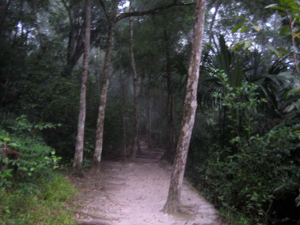
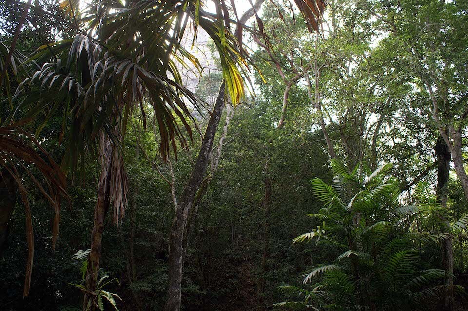
Hiking through the jungle to get to the ruins at Tikal at 5:15 in the morning. I was the only person in the site for at least 2 hours.
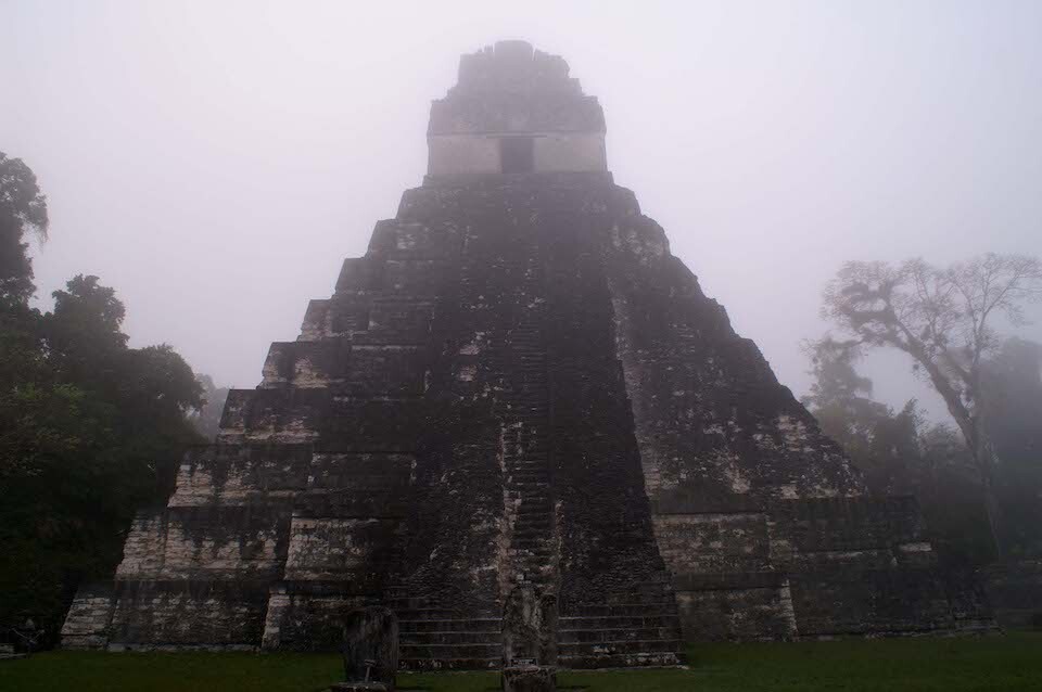
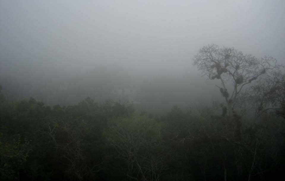
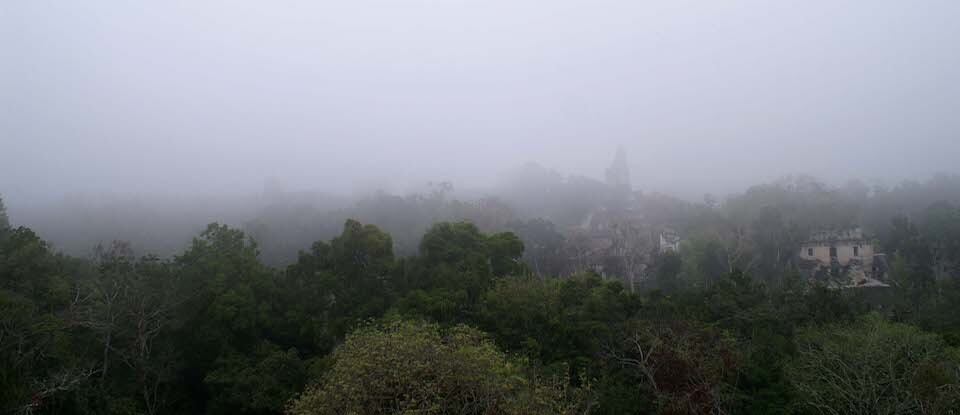
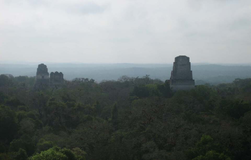
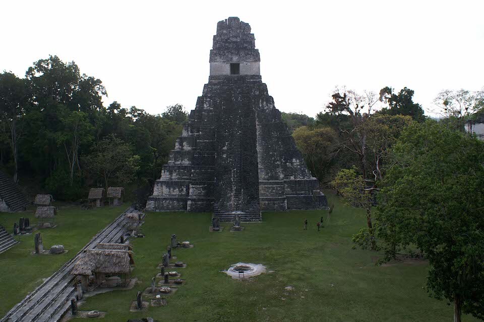
Temple I covered in the morning jungle mist. Tikal was the capital of one of the largest Mayan kingdoms and prospered mainly from 200-900 AD. Some buildings on the site date as far back as 700 BC.
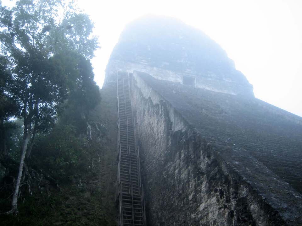
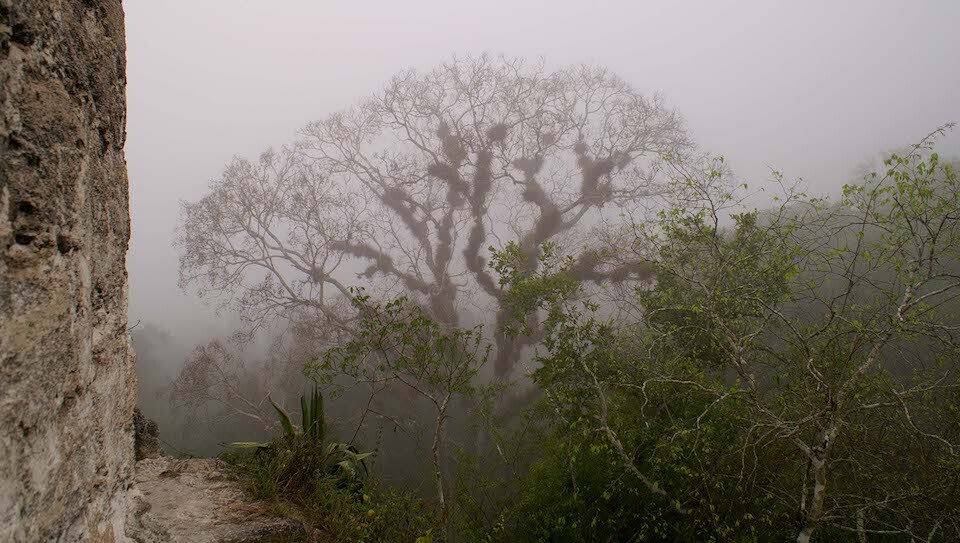
Temple V, where I waited out the fog. Tikal was abandoned by the end of the 10th century and was rediscovered in the 19th century. After abandonment, the site was quickly recaptured by the jungle with thick vegetation covering most of the temples. The tops of a few of them were visible above the canopy.
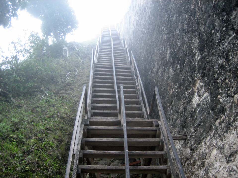
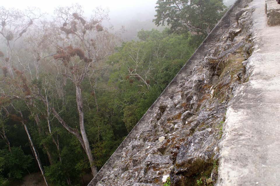
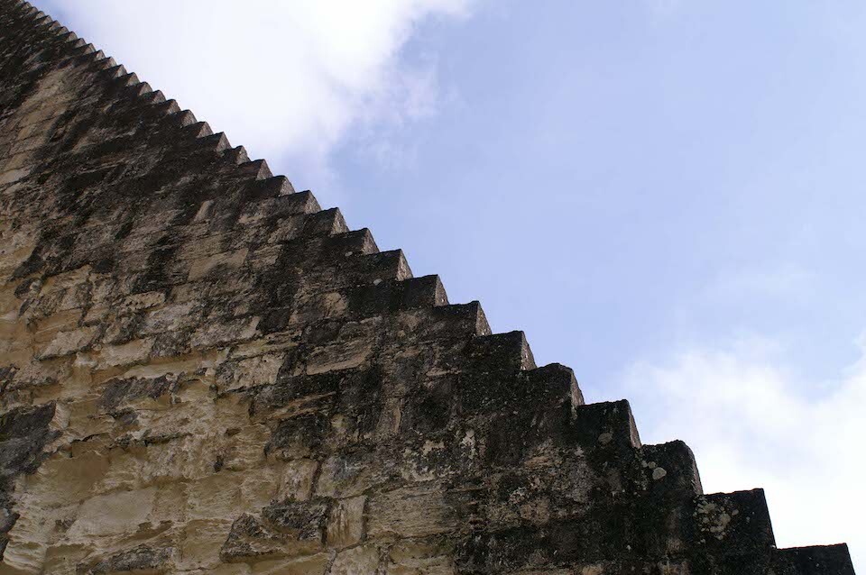
Stairway to heaven? Steep steps to get to the top of Temple V.
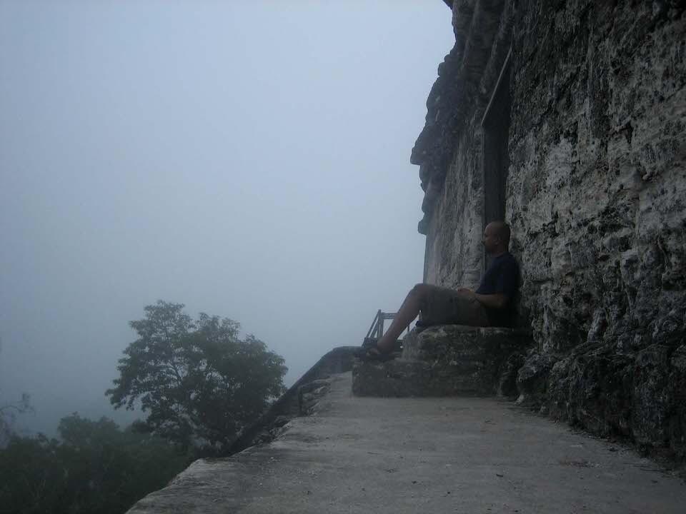
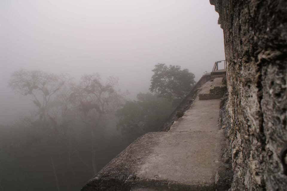
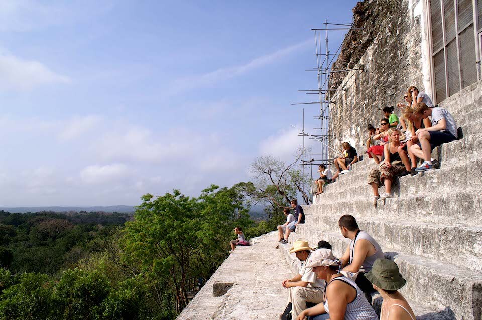
Soaking it in on the top of Temple V at 58 meters high. The downside of coming so early was all the fog and limited visibility but I enjoyed the solitude among the ruins.
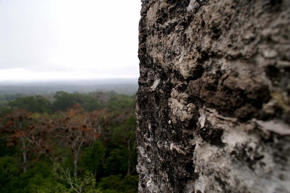
Looking out across from the top of Temple V.
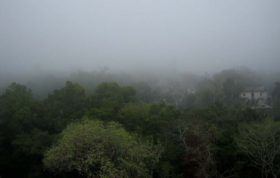
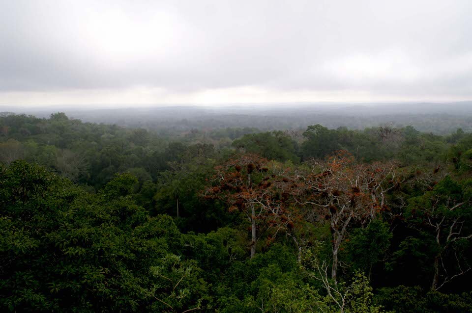
The fog slowly starting to clear with the rising sun. The structure of the residential area coming into view on the right.
Ceiba trees to the left.
Looking across the top of Temple V.
Temple I and the Gran Plaza coming into view as the fog slowly clears.
The main steps of the temple were eroded and not safe to climb.
The steep front side of the temple.
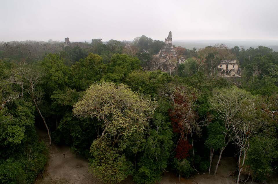
As clear as it was going to get. Temple I (right) and II (left) in full view from the top of Temple V. It was magical to see the ruins slowly appear through the fog above the canopy of the jungle.
Detail of the ruined wall.
View across the jungle canopy.
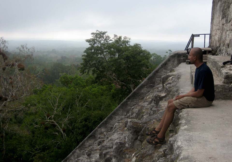
Taking it all in once the fog cleared.
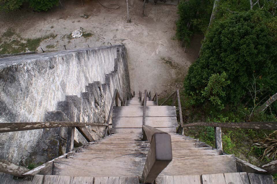
Looking down the steep steps. It was safer to go down backwards using it as a ladder.
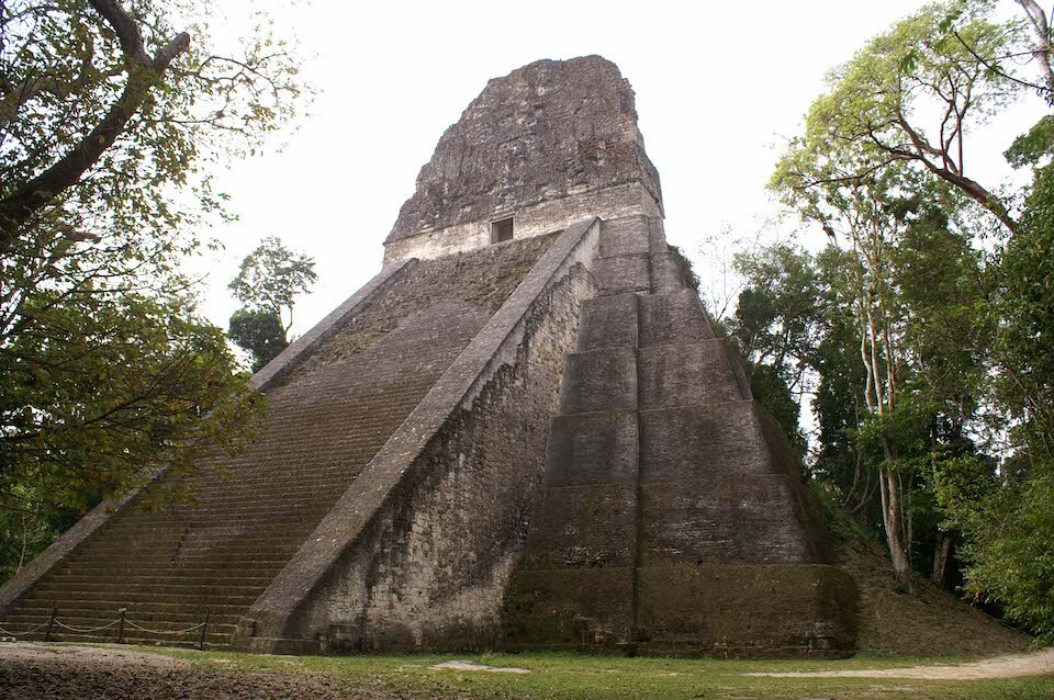
Temple V in all its glory. This was the most impressive looking temple as it was the most cleared of vegetation and the looked the grandest. Restoration began only in 1991.
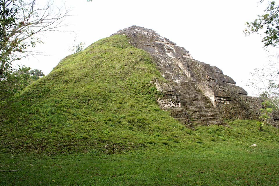
The yet to be fully restored pyramid in the Lost World section of Tikal. There are four other older pyramids under this outer face as the Maya had a tendency to build new structures on top of old ones. The oldest pyramid dates back to 700 BC making it the oldest structure at Tikal.
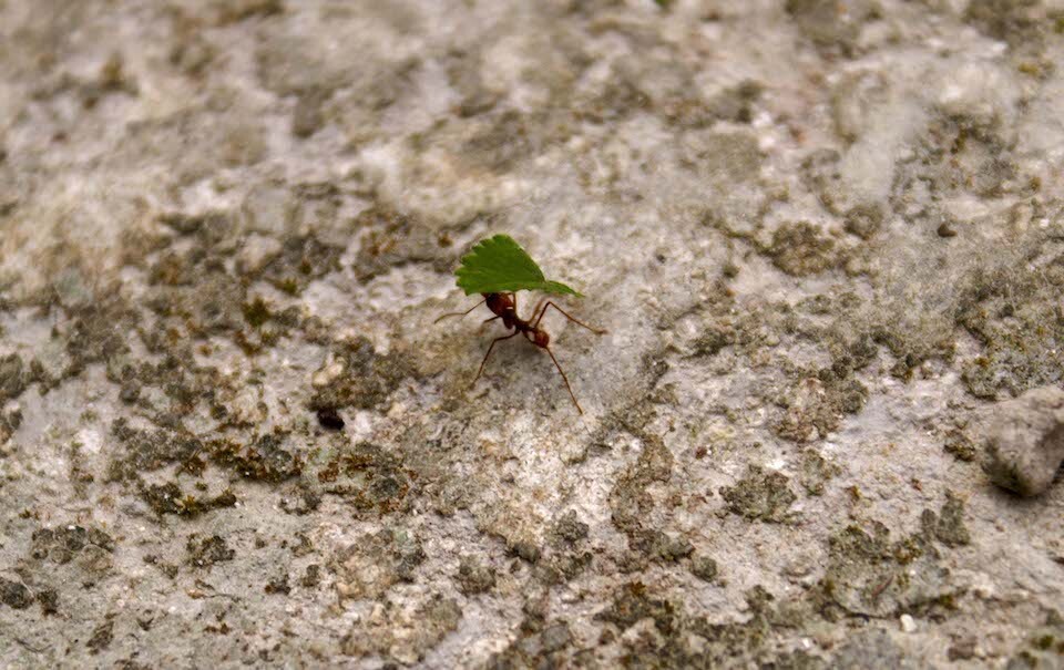
A leaf-cutter ant hauling his prized leaf across the walkway in the site that many Mayans toiled over the centuries hauling rocks to build this magnificent city.
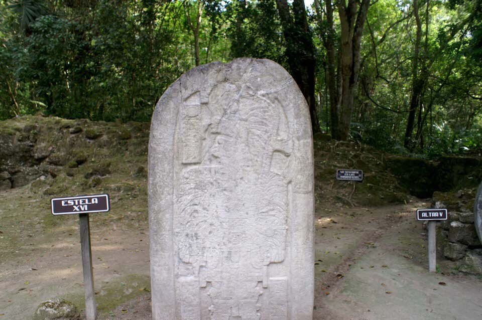
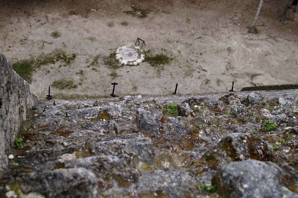
A stela detailing stories about the kings at Tikal.
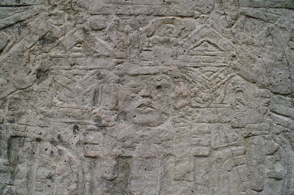
Detail of the stela.

Another round stela, looking similar to the Mayan calendar...
The tops of Temple III, II and I from Temple IV.
Tourists soaking in the view from the top of Temple IV, which was still being excavated. Only the roofcomb was clear.
Temple III covered in heavy vegetation, yet to be excavated. You can see the roofcomb behind the tree trunk in the middle.
Temple I and the Gran Plaza from the top of Temple II.
The profile of Temple II.
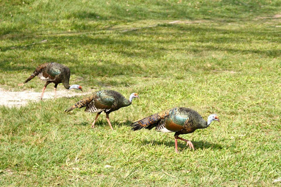
Beautiful birds on the park grounds.
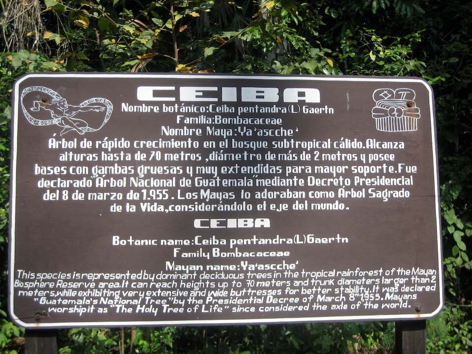
Info on the Ceiba tree.
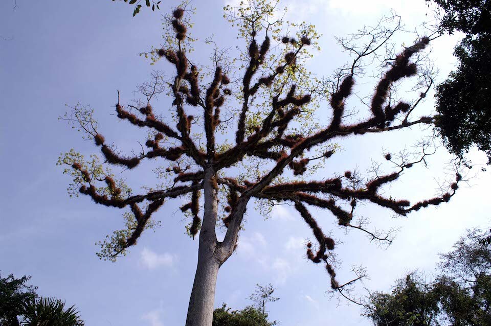
The unique looking Ceiba tree, which is the national tree of Guatemala and is worshiped by the Mayans.
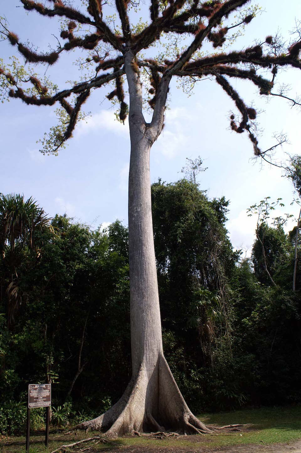
The trunks can get pretty large and the trees sport wide buttresses to support their heft.
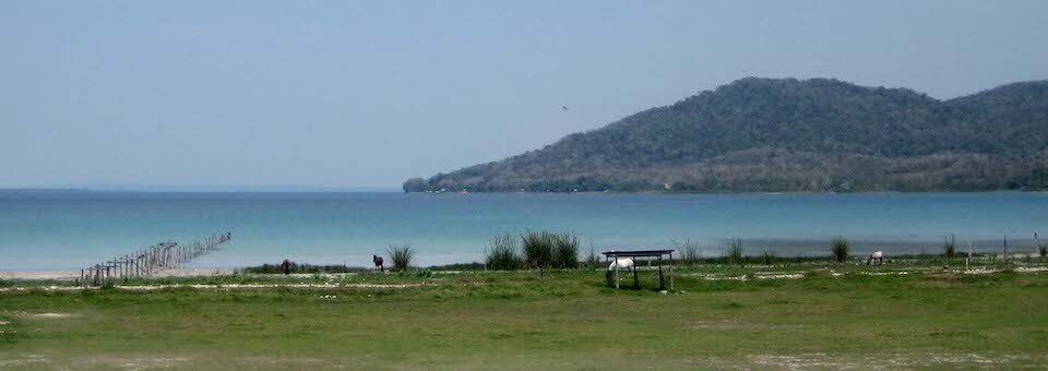
Heading back south, passing the beautiful Lago de Peten Itza.
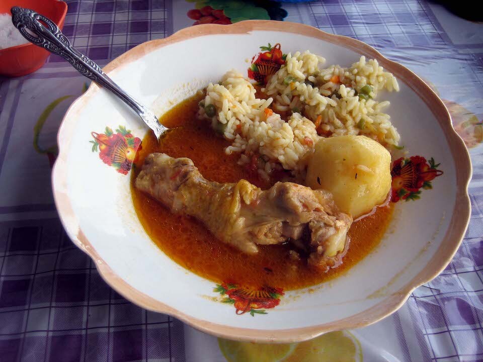
Tasty lunch of chicken in a gravy with rice and potatoes for Q10.
Heading south towards Rio Dulce on the eastern side of Guatemala.
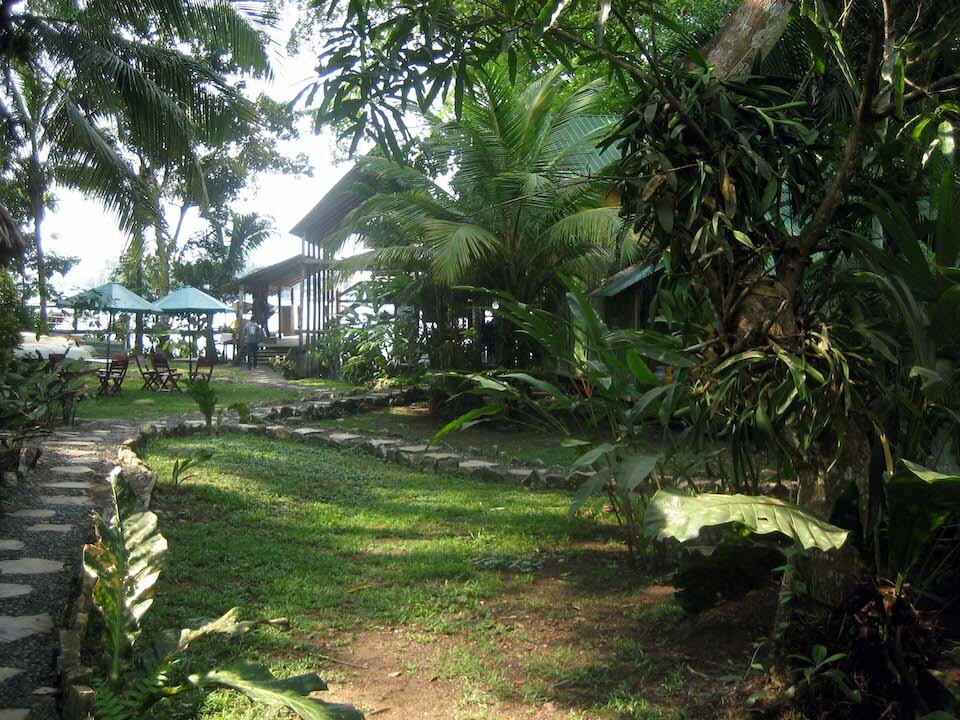
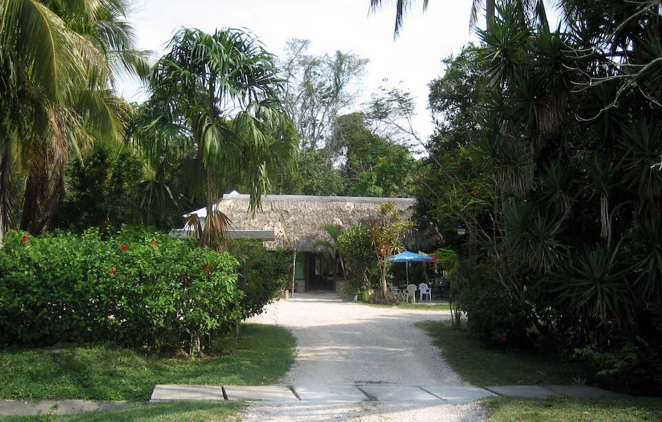
Staying at Hacienda Tijax on the river.
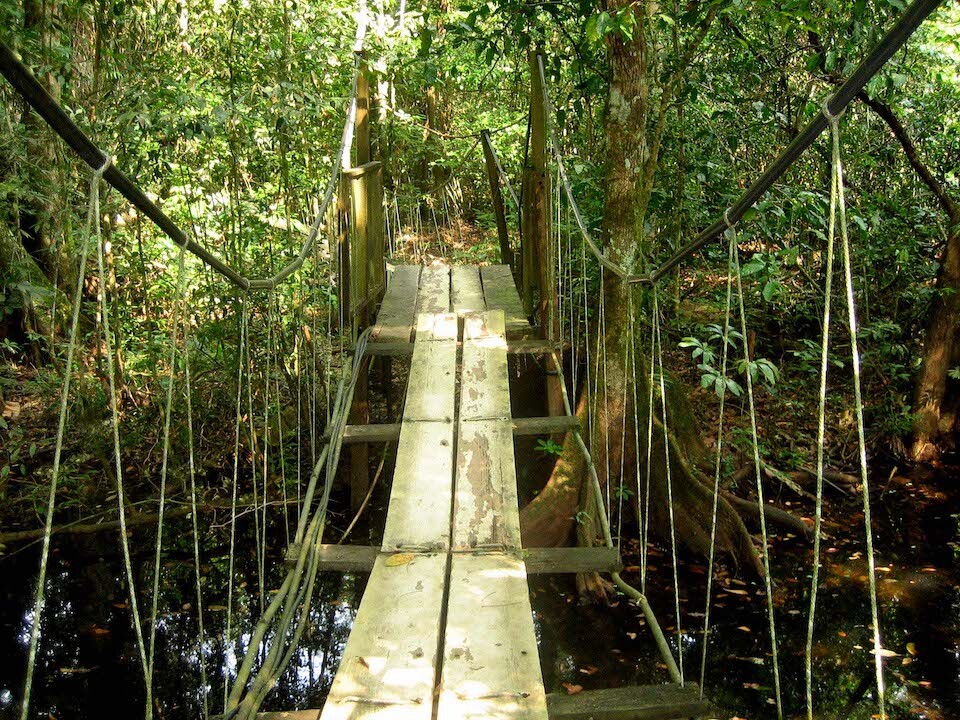
There were a lot of waterways around and they used lots of suspension boardwalks to get above the water and reduce human impact on the protected area, where lots of bird-watching was happening.
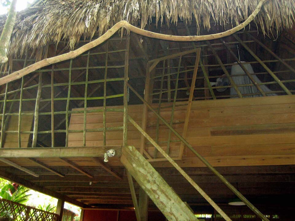
Staying in a thatched jungle room for Q60.
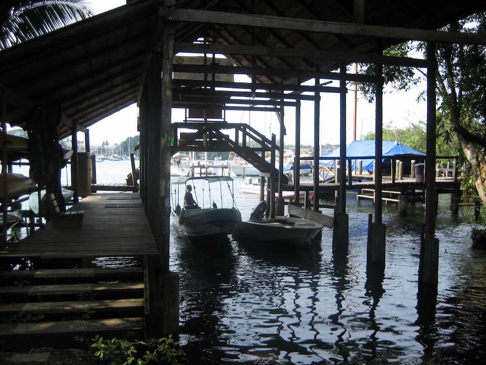
Rio Dulce is popular among yachties as it's the safest place to spend the hurricane season in the western Caribbean.
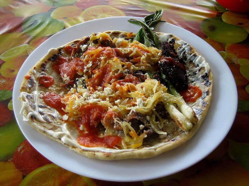
Last meal in Guatemala of a thick tortilla with beef, green onions, sauce and some mayo sauce. It was quite tasty for Q15. At this comedor (road-side shack), just as I was finishing up my meal, a group of guys walked in all brandishing pistols in their belts. They seemed friendly and struck up a conversation about the bike and my trip. One of them spoke good English, probably the boss. They pulled in on 3 Toyota pickup trucks and had guards from their pose surrounding the whole comedor as lookouts. I figured they must either be some gang or political group or just rich, powerful people. The funniest thing was when I told them I rode through Mexico, they asked, "Isn't Mexico dangerous?" and they were all carrying guns, haha. I guess everyone is scared of what lies beyond their boundaries.
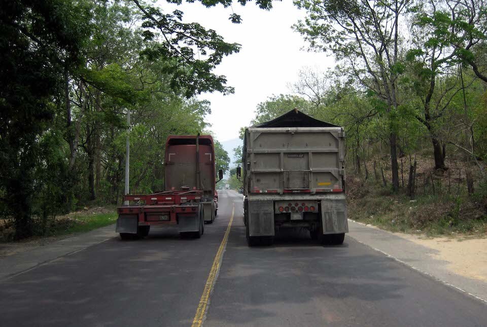
Taking the busy highway towards the Honduran border. This highway connects Guatemala City with the port on the Caribbean and was crowded with semi-truck traffic. Onwards to Honduras.
Next: Riding through Honduras & Nicaragua
Previous: Guatemala, Part 1: Highlands